
 Mountain
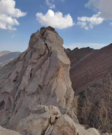
Dandan-e Azhdaha Peak
Province Mazandaran
- Mountaineering
- Rock Climbing
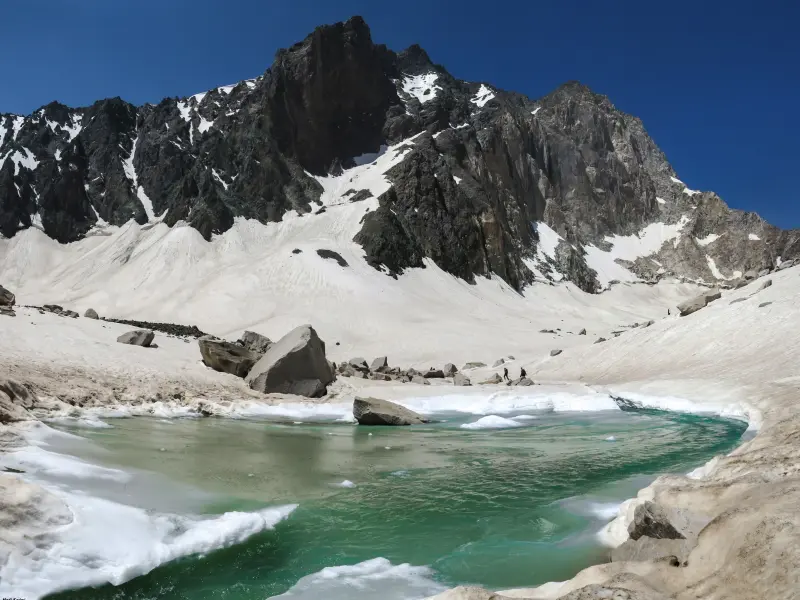
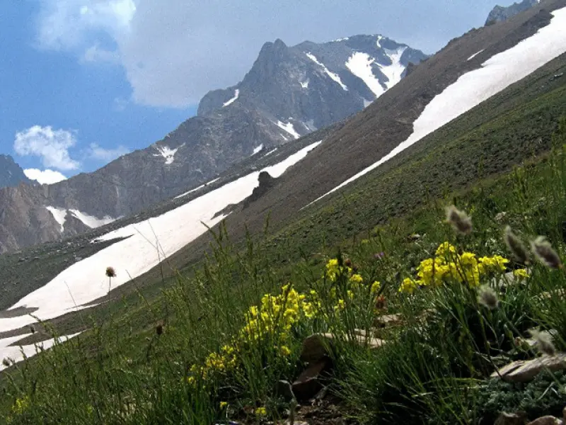
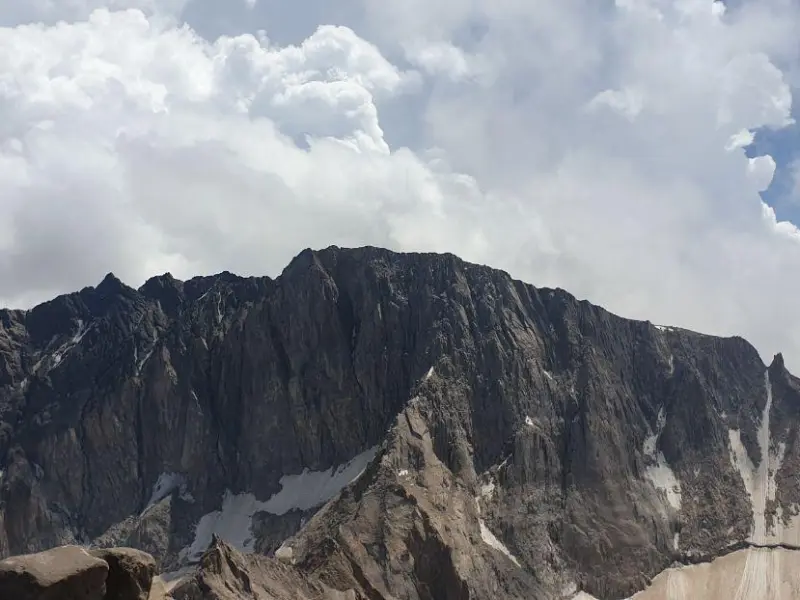
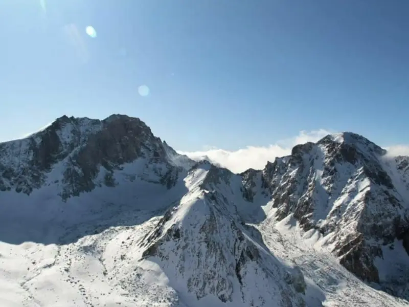
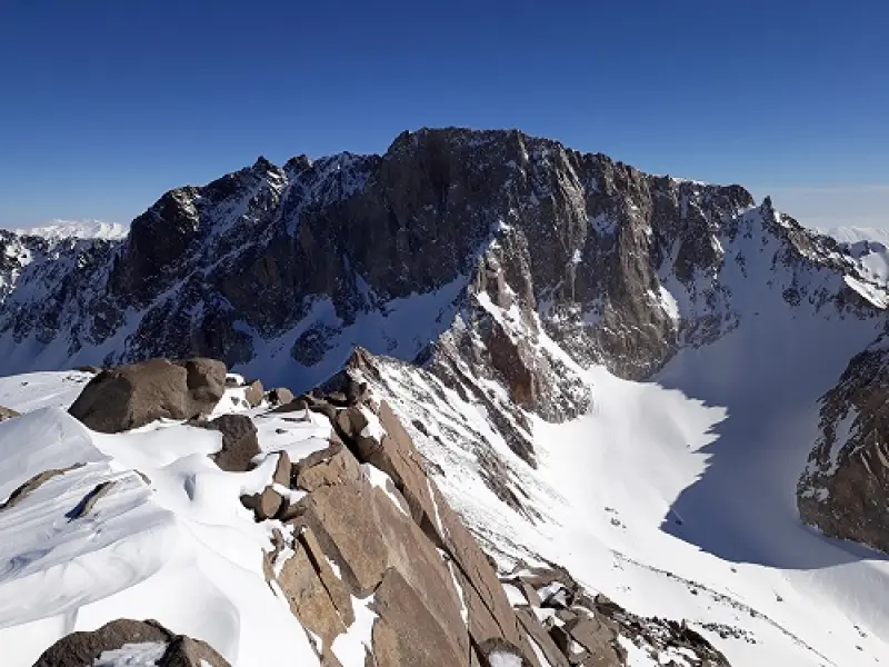
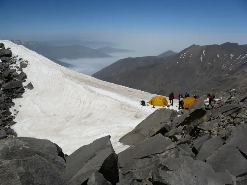
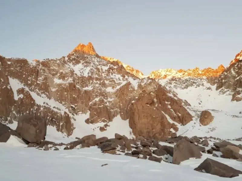
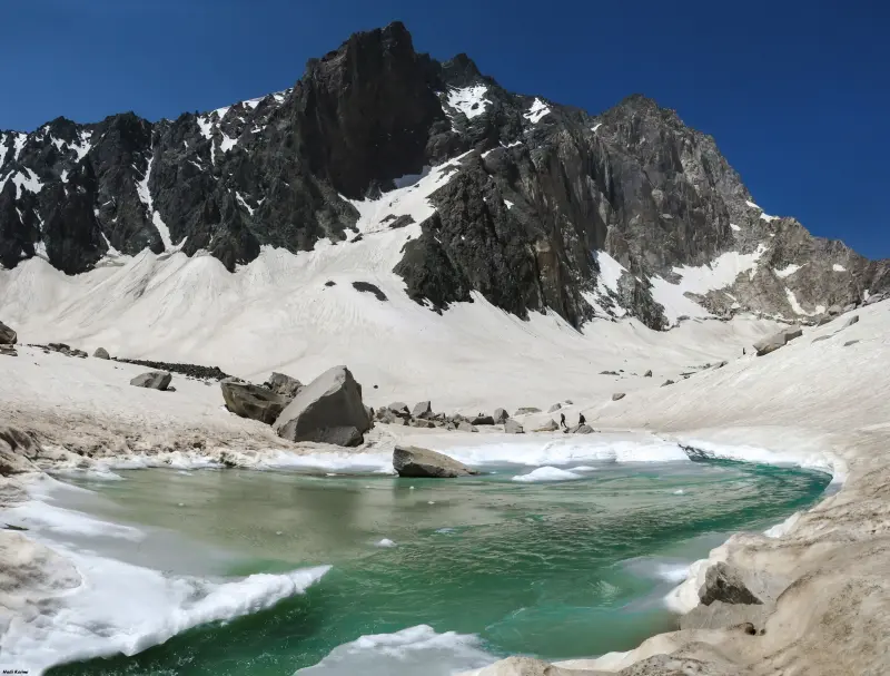
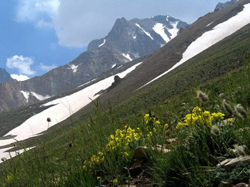
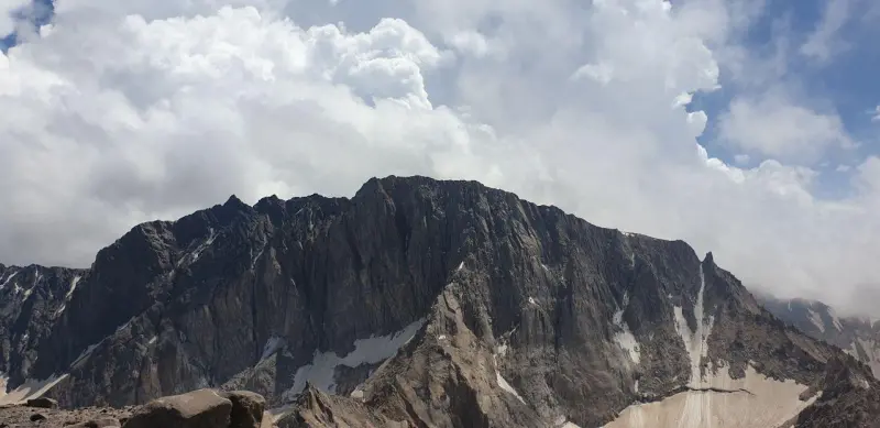
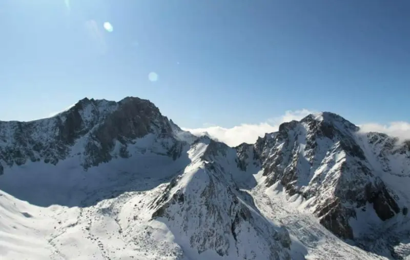
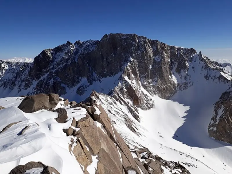
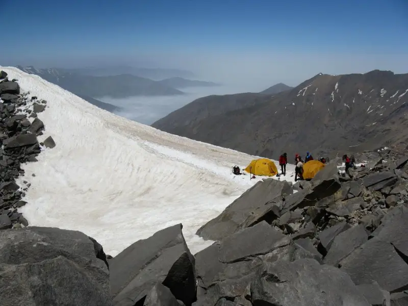
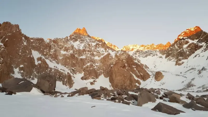
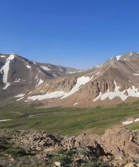
The Takht-e Suleyman area is a mountainous region in the highlands of Dorfak-e Kelarestaq (Kelarestaq), in Mazandaran Province, covering about 4,077 hectares. On 1381/3/21 (Solar Hijri), under Resolution No. 222 of the Supreme Council for Environmental Protection, it was added to the areas managed by the Department of Environment and was registered as a national site. Takht-e Suleyman is part of the Alborz range and has 45 main peaks. The highest of them, Alam-Kuh, at 4,850 metres, is considered the second-highest peak in Iran. The Takht-e Suleyman area is bordered to the north by the cities of Chalus, Salman Shahr and Tonekabon and by forest areas; on the east it encloses the valley of the Chalus River, on the west it is bounded by the great Sehezar (Se Hezar) Valley, and in the south and southwest it ends at the Taleqan and Alamut valleys.
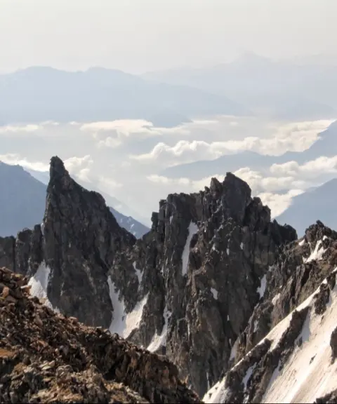
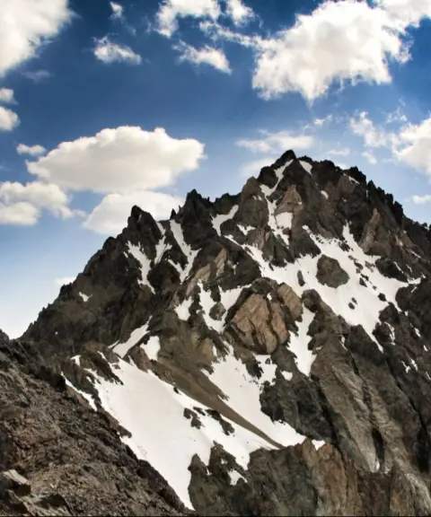
At 4,659 metres, Takht-e Suleyman Peak is the next highest in the area after Alam-Kuh and Shakhak. It is in fact part of the ridge known as Koljaran, which ultimately joins Alam-Kuh via the Shaneh-Kuh area and the Gerdeh-ye Almanha (the Germans' Ridge). Takht-e Suleyman Peak and its walls form a natural barrier between the West Glacier and the Alamchal and Sarchal glaciers. The terrain is rocky and glaciated. The rock in the area is very loose and prone to rockfall, and most of the route is stony ground. There are various accounts of the origin of the area's name, mostly linked to the era of the life of Solomon (Suleyman). These legends arose particularly because of the presence of wooden beams high on the peaks, which are connected to old stories. One account, passed down through generations among local people, concerns the time when Solomon went to ask for the hand of Bilqis (the Queen of Sheba).
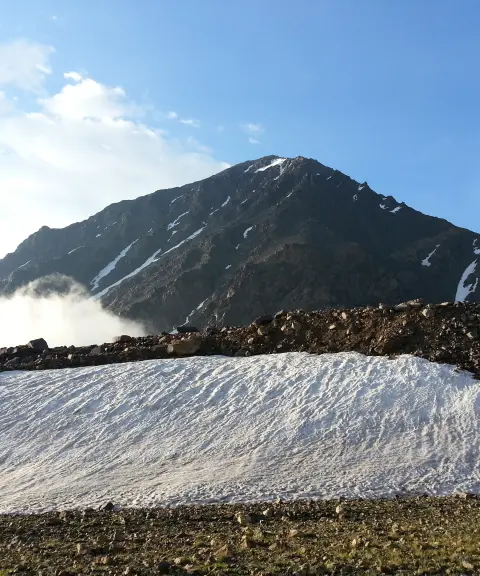
Because of its high altitude and natural glaciers, the climate of the Takht-e Suleyman area is usually cold. Much of the time, heavy fog covers the area, making it hard to find the climbing route. In summer, the weather is usually clear and sunny, but at higher elevations, especially near the summit, the temperature drops sharply and snowfall is possible. In winter, climbing Takht-e Suleyman Peak is recommended only for professional, well-equipped mountaineers, because ice and snow make the routes extremely difficult and dangerous. The best time to climb Takht-e Suleyman Peak is from the end of Tir to the end of Mordad (roughly mid-July to late August). A winter ascent of this peak is a serious multi-day undertaking suitable for experienced climbers. Based on patterns from previous years, the best time for a winter ascent is the first half of Dey or the second half of Bahman (roughly late December to mid-January, or early to mid-February). Be sure to check the weather conditions in the area before you set out.
Written by زهرا لنگری Last updated
What you can do here, and what it takes
لوازم کوهنوردی به همراه داشته باشید.
کفش مناسب پیادهروی برای گشتوگذار از وسایل ضروری است.
Province Mazandaran
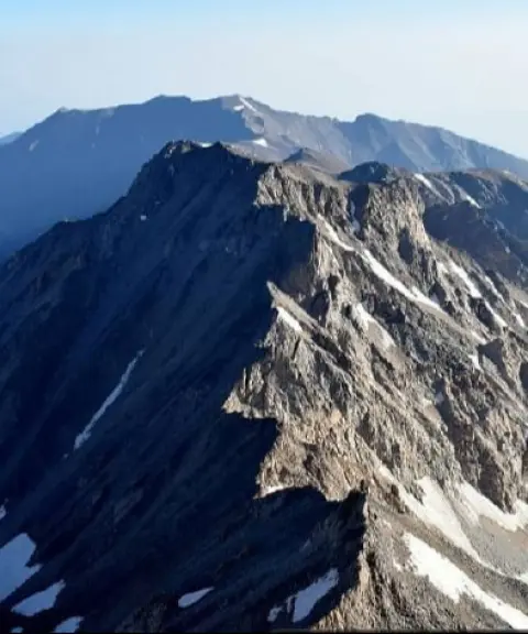
Province Mazandaran
Province Mazandaran
Province Mazandaran
Unfortunately, no comments have been registered.