
 Mountain
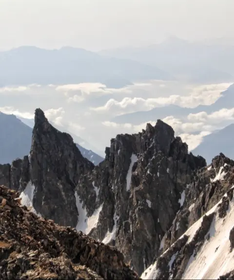
Shakhak Peak
Province Mazandaran
- Mountaineering
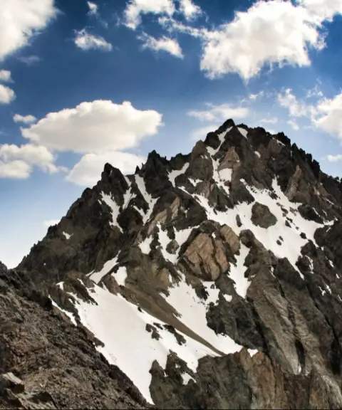
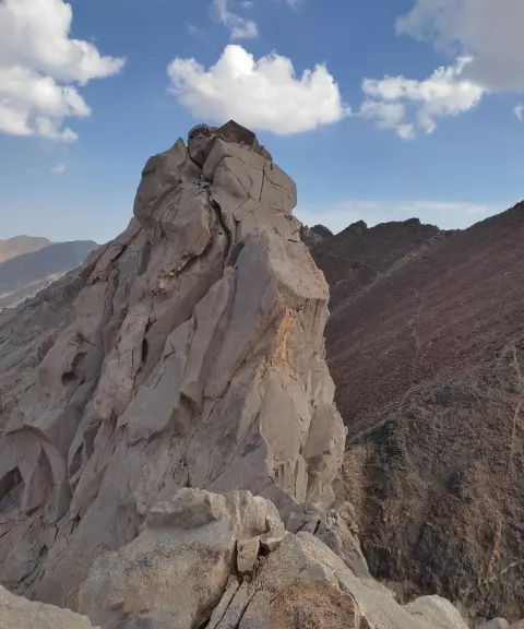
A striking peak on the Takht-e Soleyman ridge
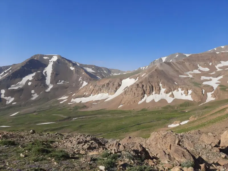
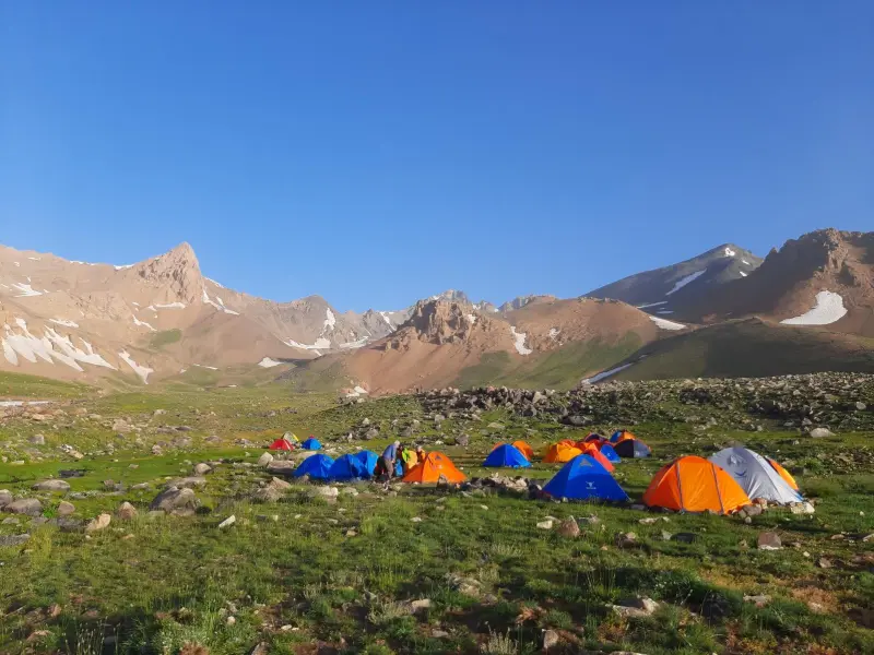
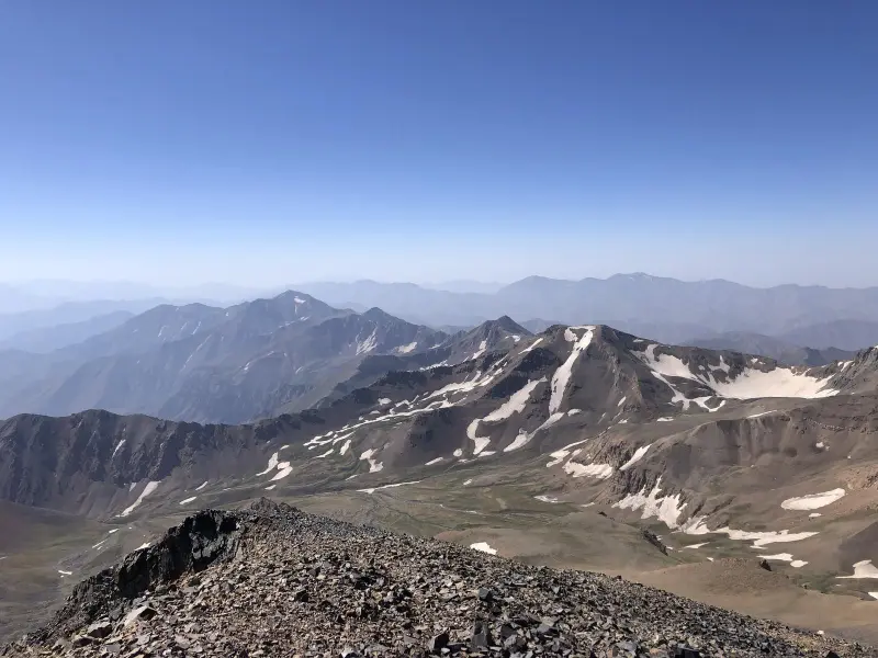
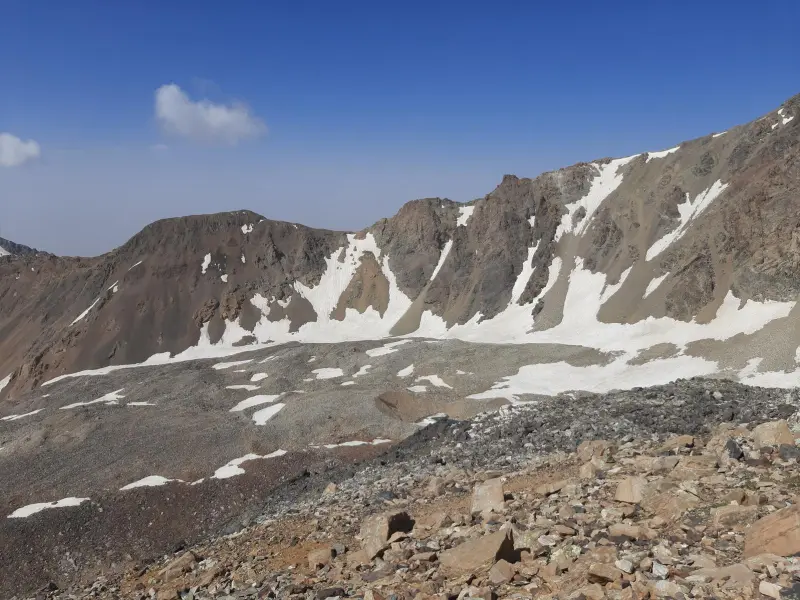
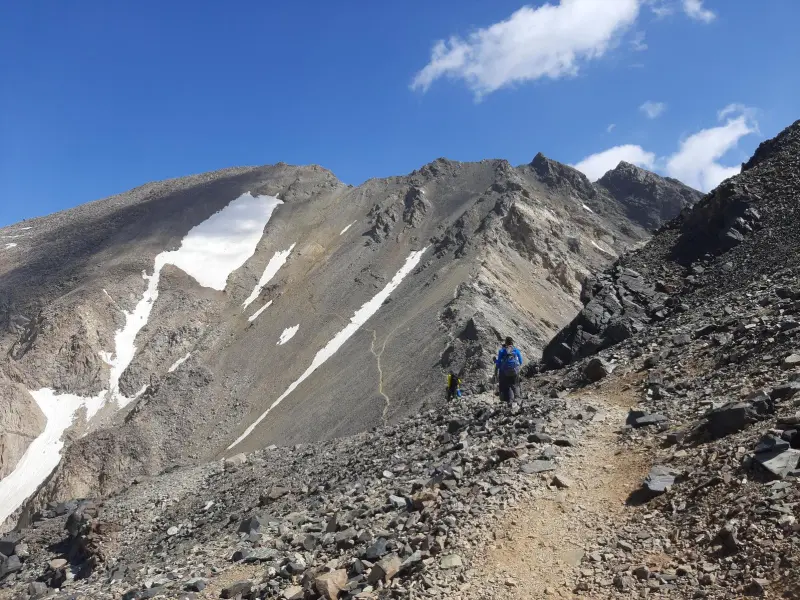
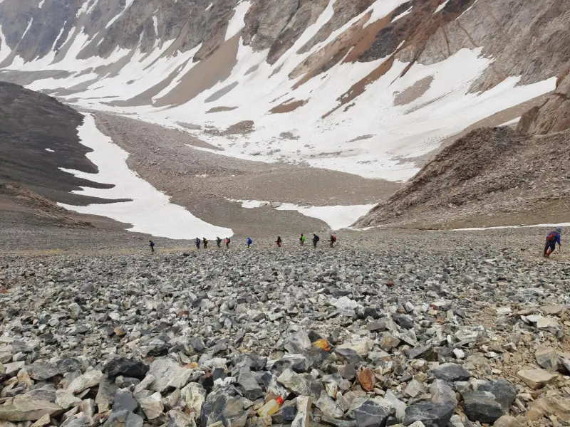
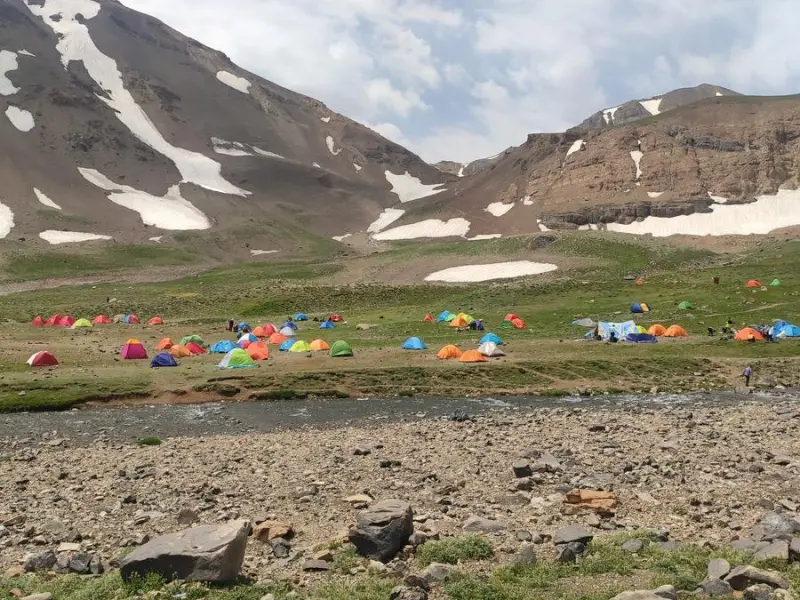
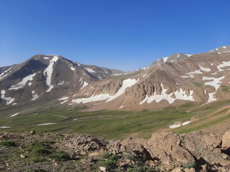
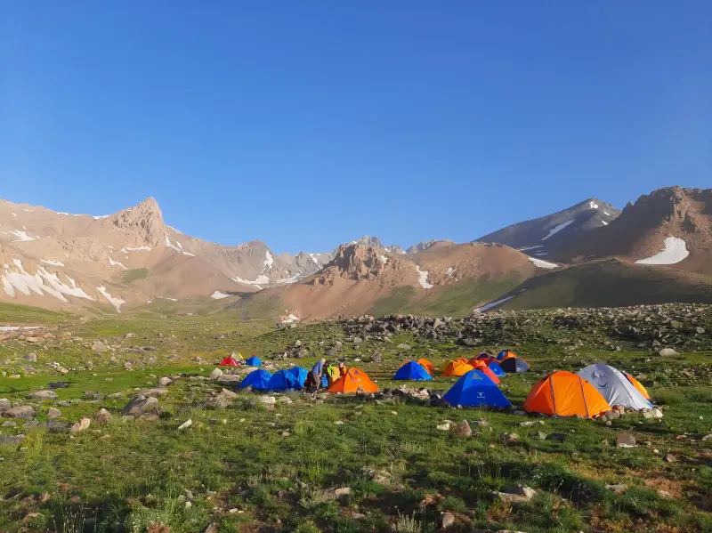
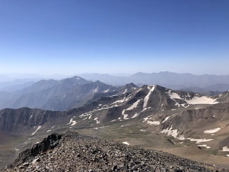
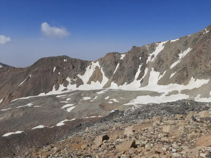
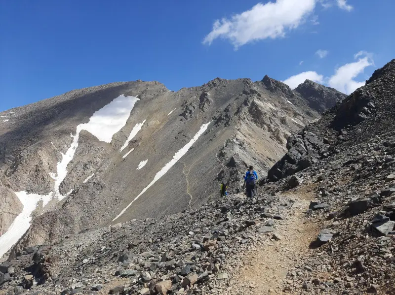
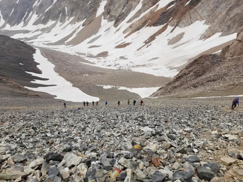
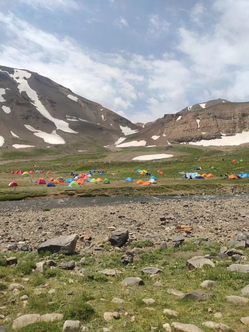
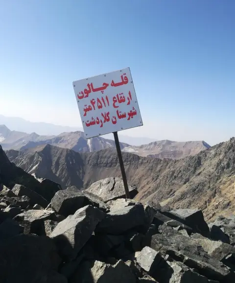
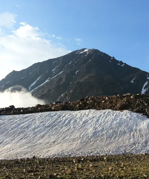
Marjikesh Peak is one of the prominent high summits of the Central Alborz range. It lies in the Takht-e Soleyman area of Kelardasht County, in Mazandaran Province. The peak is part of the vast Alborz mountain massif, which includes very high summits and complex glaciers, and it has a special place in professional mountaineering programs, particularly on multi-peak routes combined with Alam-Kuh and Siahkaman/Chalun.
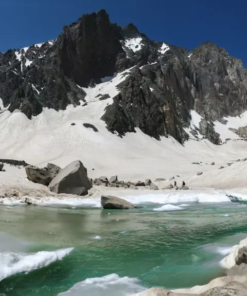
At an elevation of roughly 4,550 to 4,580 metres above sea level, Marjikesh is one of Iran's peaks above 4,000 metres. It rises above the rocky and snowy ridges and glaciers of Takht-e Soleyman. Glaciers such as the Marjikesh Glacier on its slopes play an important role in the region's geological structure and offer remarkable views of the Central Alborz landscape.
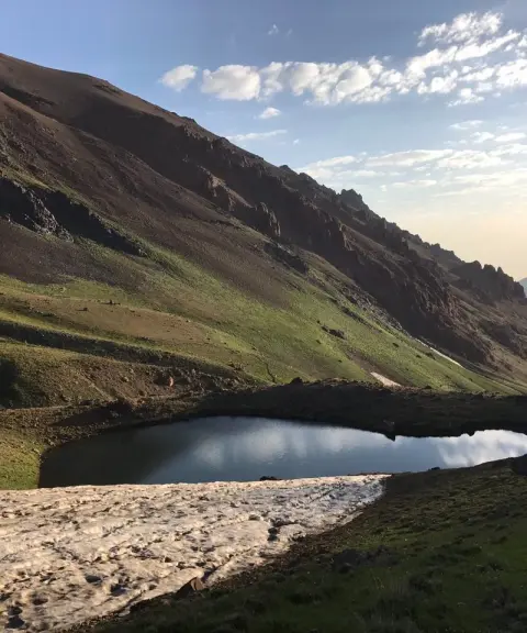
Access to Marjikesh usually begins from Kelardasht/Rudbarak. Climbers enter the Galu Gorge and head toward the Sarchal Shelter; from there, footpaths continue toward the ridge and then the summit. The best time to climb this peak is from summer to early autumn, when the weather is more favourable and the glacial and rocky routes are more accessible to experienced mountaineers. Observing the principles of responsible nature tourism and professional mountaineering safety is essential at these demanding altitudes.
Written by ستایش عرب Last updated
What you can do here, and what it takes
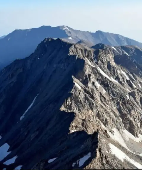
مسیرهای پاکوب و یالهای مرجیکش برای کوهنوردان باتجربه مناسباند.
Province Mazandaran
Province Mazandaran
Province Mazandaran

Unfortunately, no comments have been registered.