
 Mountain
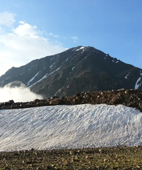
Siah Kaman Peak
Province Mazandaran
- Mountaineering
- Walking
A Strategic Summit in the Takht-e Soleyman Massif
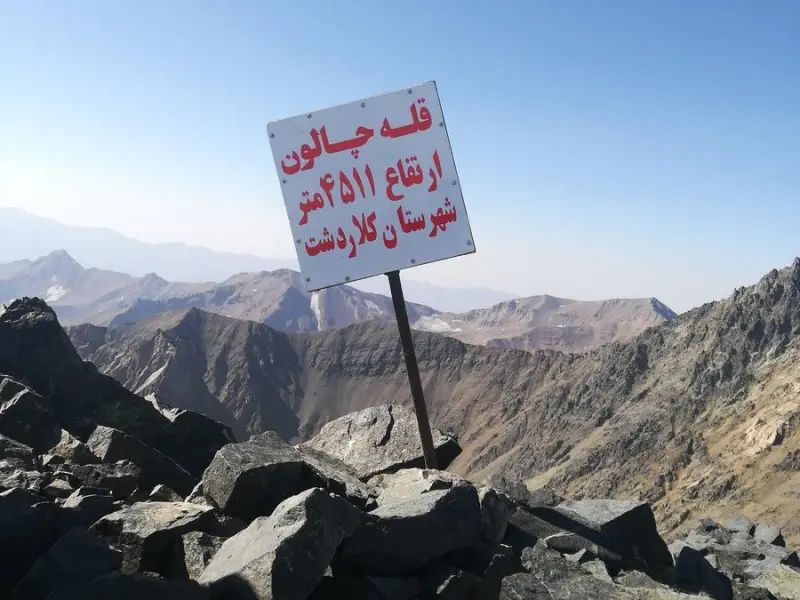
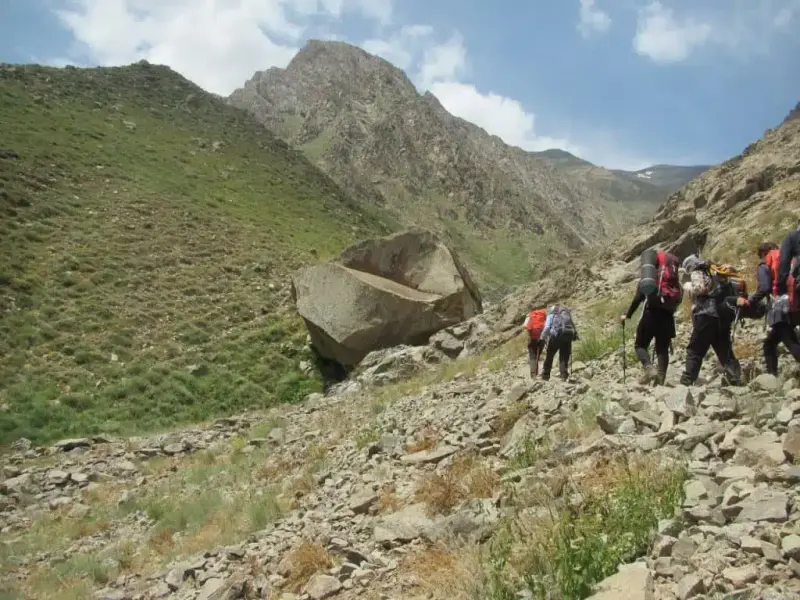
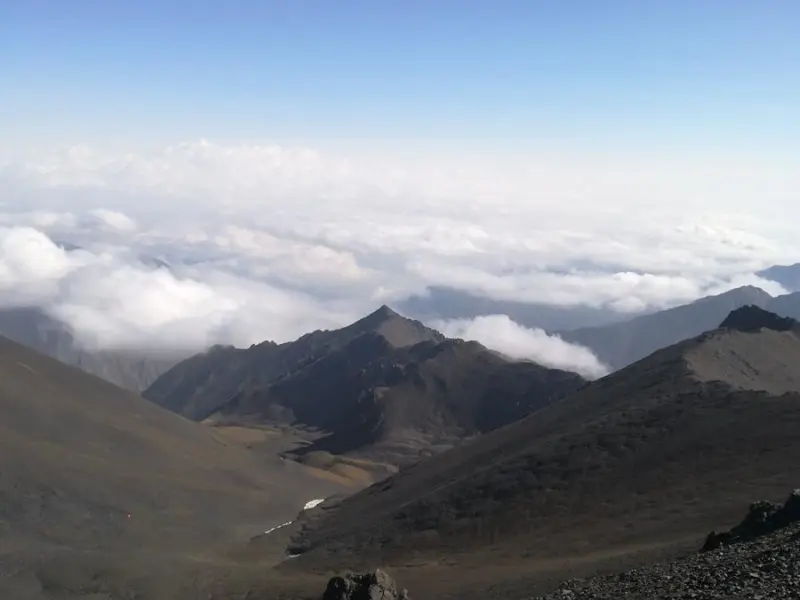
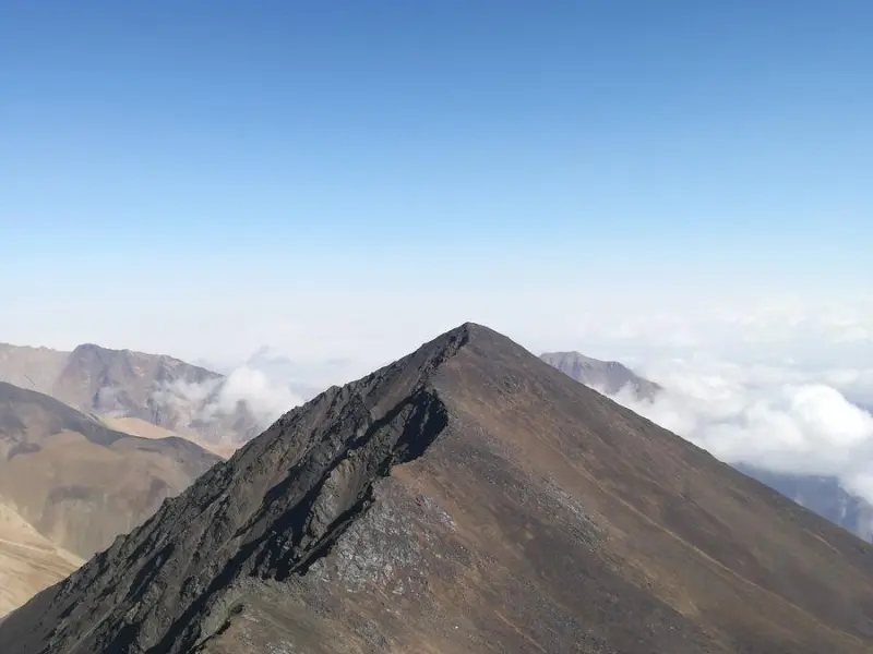
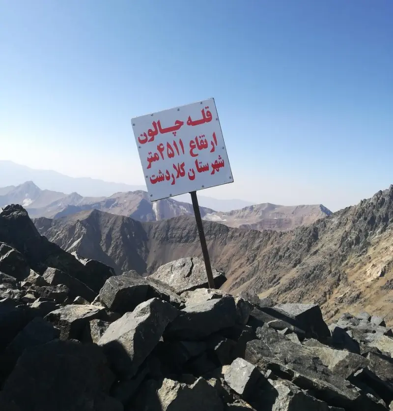
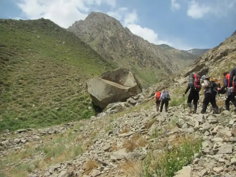
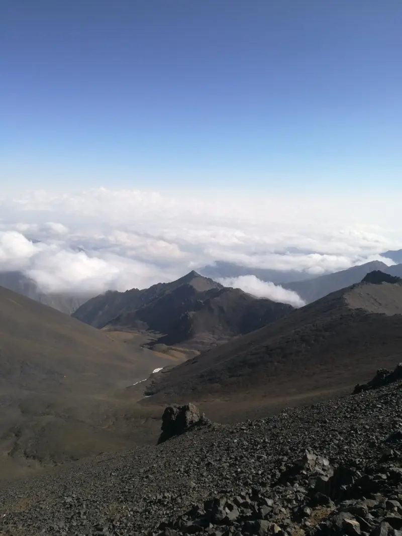
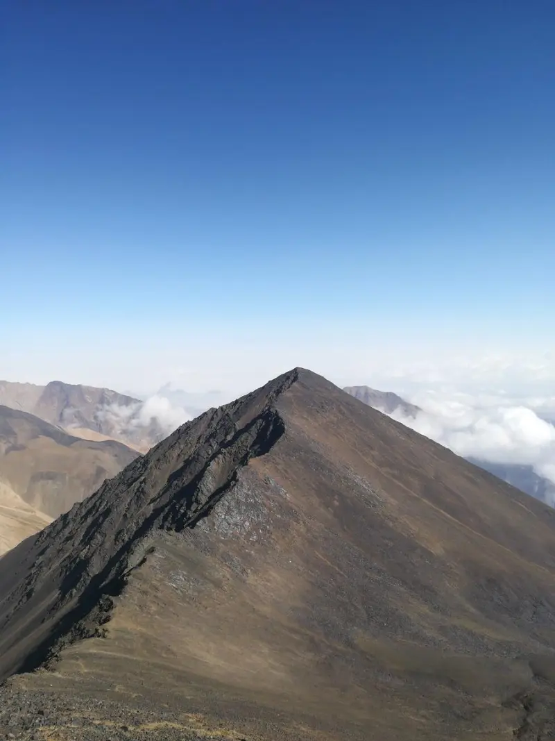
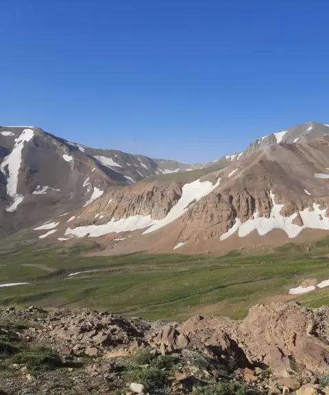
Chalun Peak is one of the prominent and well-known summits of the Central Alborz range, in the Takht-e Soleyman and Kelardasht region of Mazandaran Province in northern Iran. It stands close to other high peaks of the area, such as Siah Kaman and Alam-Kuh. The peak is part of a mountain system renowned in the Iranian mountaineering community for its great height, glaciers and technical climbing routes, and it appears on the professional ridge routes linking other high summits in this part of the Alborz.
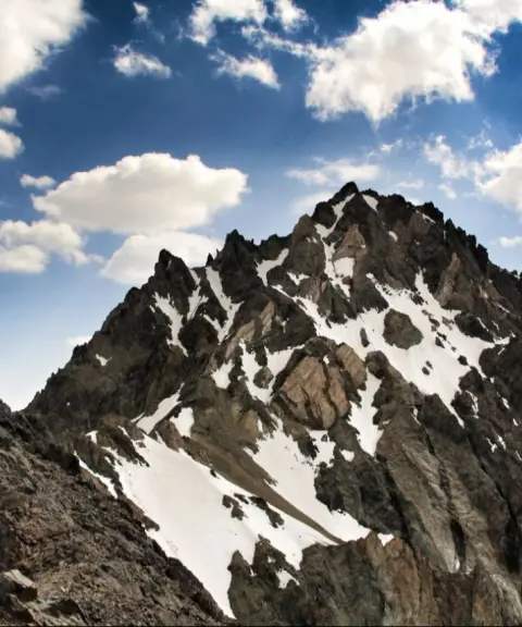
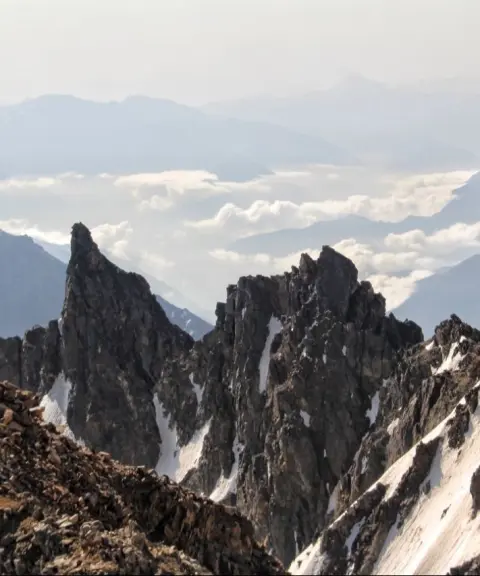
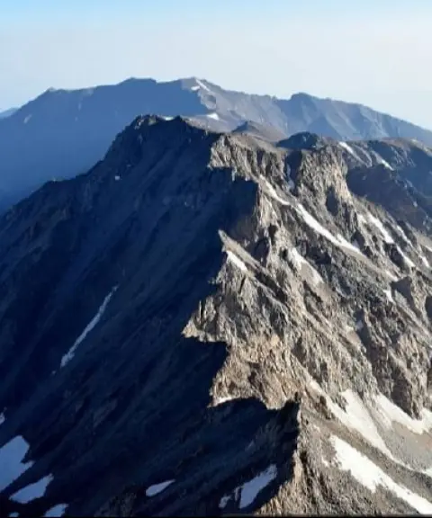
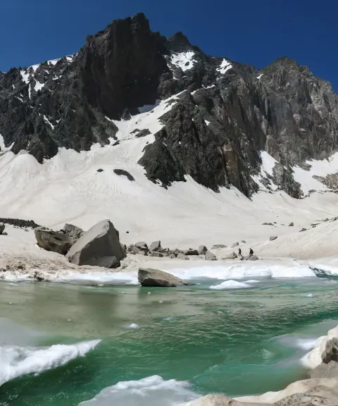
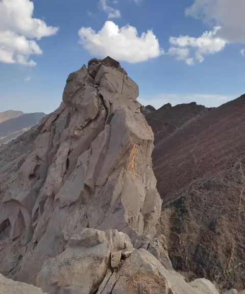
Chalun lies at an elevation of about 4,510 to 4,550 meters above sea level. Parts of its route involve snow, glaciers and steep rocky terrain, which makes it a suitable route for professional climbers familiar with the technical demands of Iran's high mountain ranges. The peak connects to Siah Kaman on the north and to the lower sections of the Alam-Kuh ridges on the southwest, and its position on the main ridgeline of the region is clearly defined by nature.
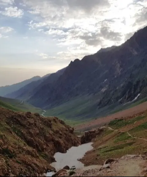
Access to Chalun Peak is usually via the mountain routes of Kelardasht and the Takht-e Soleyman area. Experienced climbers first enter the route of glaciers and rocky trails from the Sarchal Shelter or the village of Vandarbon, then continue along the ridges to the passes and technical sections until they reach Chalun, and then climb to the summit. The best time to climb this peak is from summer to early autumn, when the ice and snow along the route are relatively reduced and technical climbing conditions are manageable. Observing safety standards and carrying full professional mountaineering equipment is essential on this route.
Written by ستایش عرب Last updated
What you can do here, and what it takes
مسیرهای سنگلاخی، یخچالی و یالهای فنی این قله برای کوهنوردان حرفهای در فصل مناسب مناسباند.
Province Mazandaran
Province Mazandaran
Province Mazandaran
Province Mazandaran

Unfortunately, no comments have been registered.