
 Mountain
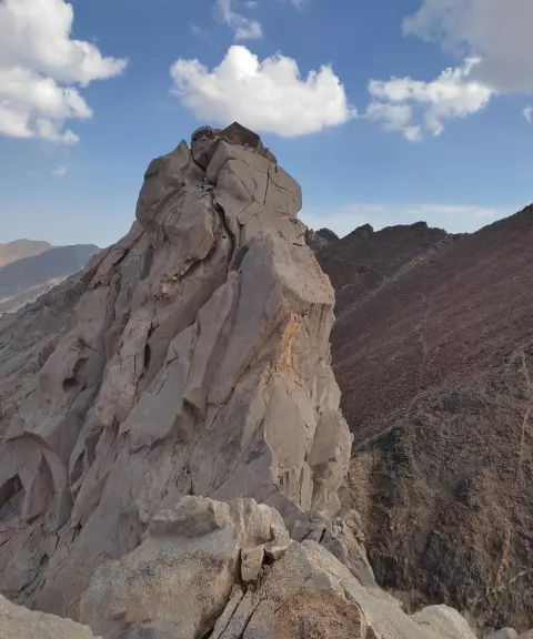
Dandan-e Azhdaha Peak
Province Mazandaran
- Mountaineering
- Rock Climbing
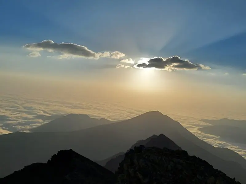
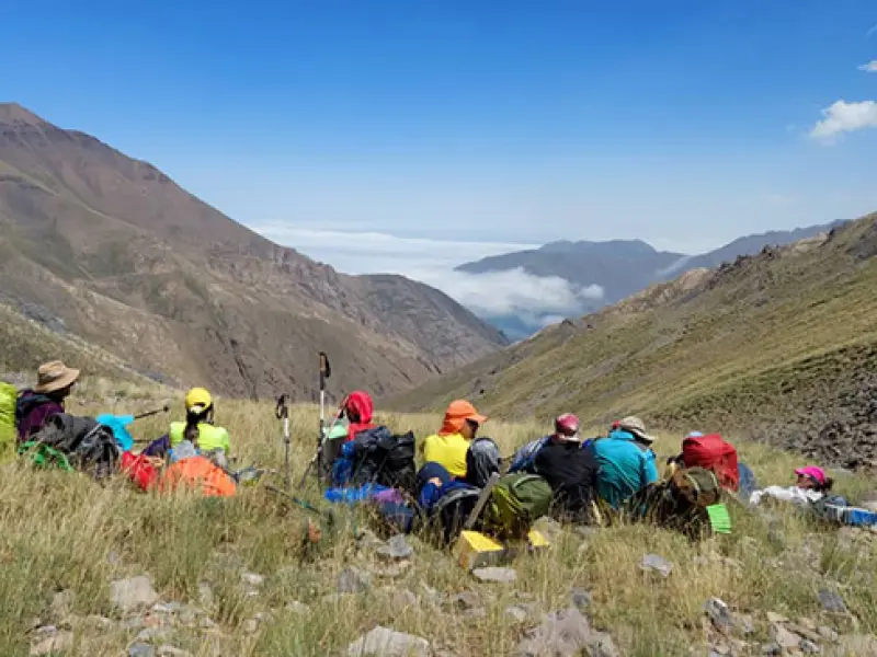
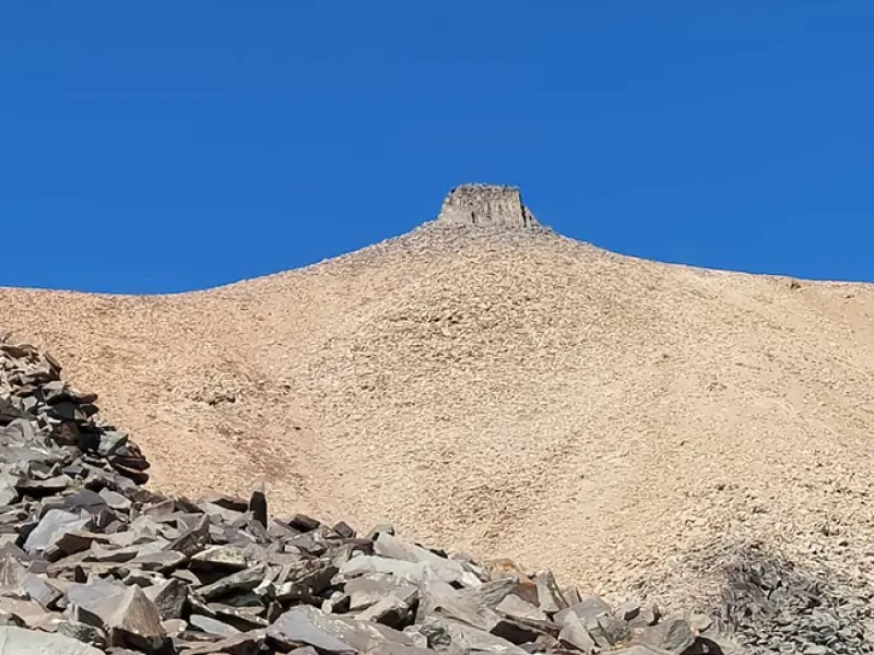
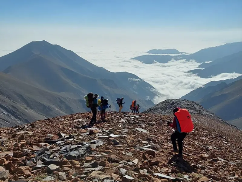
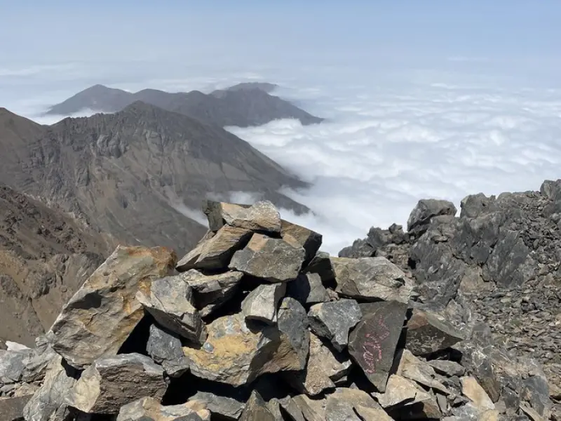
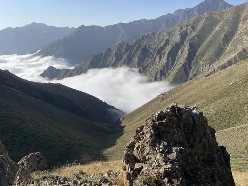
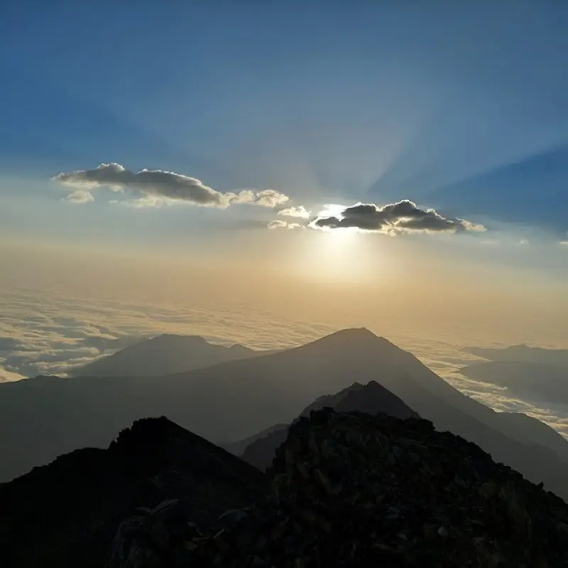
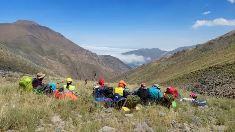
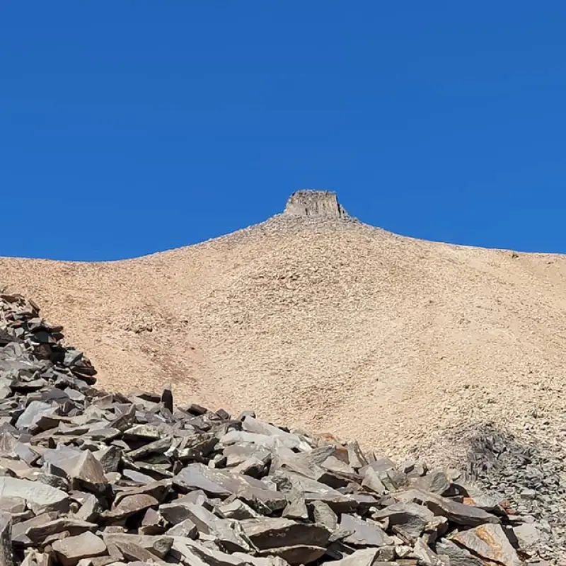
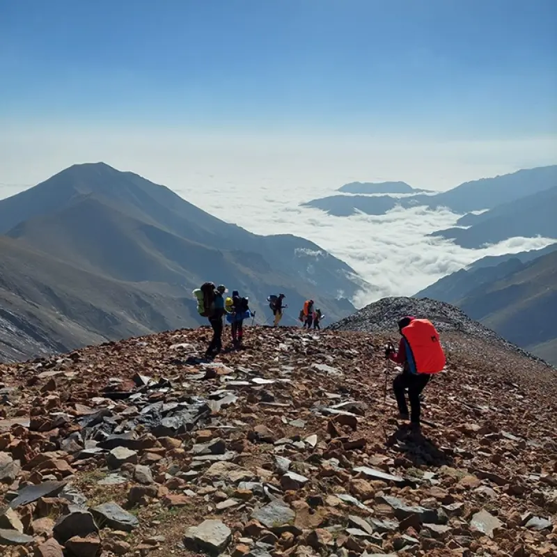
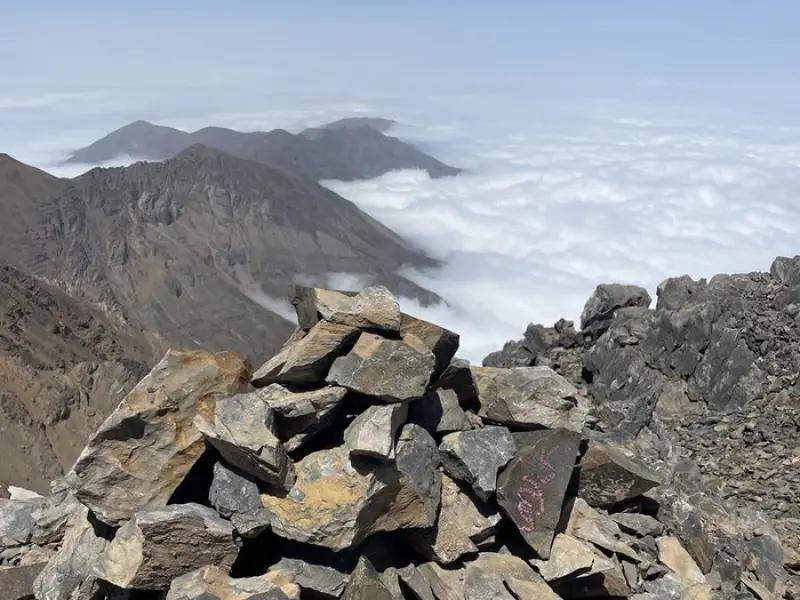
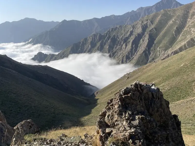
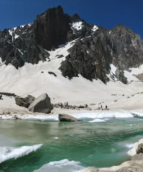
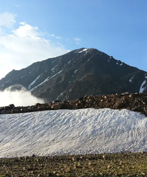
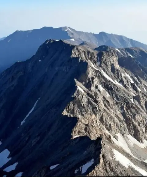
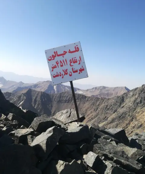
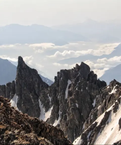
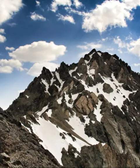
Kalahoo Peak, also known as Shir Espid ("White Lion"), is one of the northernmost peaks of the Alam-Kuh and Takht-e Soleyman massifs, located in the Kelardasht region. The peak stands in an area of pristine and spectacular nature and is one of the main destinations for experienced mountaineers. The Takht-e Soleyman area as a whole is one of the most dreamlike regions for mountaineering in Iran. With the largest number of peaks above 4,000 metres in the country, it is especially appealing to those looking for tough mountaineering challenges.
Kalahoo Peak lies where an east-west ridge meets the region's central ridge, which runs north-south. To the north, the peak connects to the Tonekabon and Mazichal area, and to the south it connects to the Koljaran Pass and the peaks of Rostam Nist, Takht-e Rostam, Siah Gouk, Dandan-e Ezhdeha and Takht-e Soleyman. To the east, Kalahoo is linked via the Paro Pass to Little and Great Garmakuh, and finally to the peaks of Ghabi and Shah Rashid in the northwest.
Beyond its geographical features, Kalahoo Peak is an exceptional place for mountaineers thanks to its strategic position in the Takht-e Soleyman area. Especially across the different seasons of the year, the peak offers the chance to climb in a variety of weather and geological conditions. Because of its proximity to the other peaks of the region, climbers can consider it as part of a longer route through the Takht-e Soleyman and Alam-Kuh area.
Written by زهرا لنگری Last updated
What you can do here, and what it takes
کفش مناسب کوهنوردی به همراه داشته باشید..
تجهیزات لازم کوهنوردی را به همراه داشته باشید.
Province Mazandaran
Province Mazandaran
Province Mazandaran
Province Mazandaran
Unfortunately, no comments have been registered.