
 Caves
- Ability level Advanced
Ability level:
Advanced
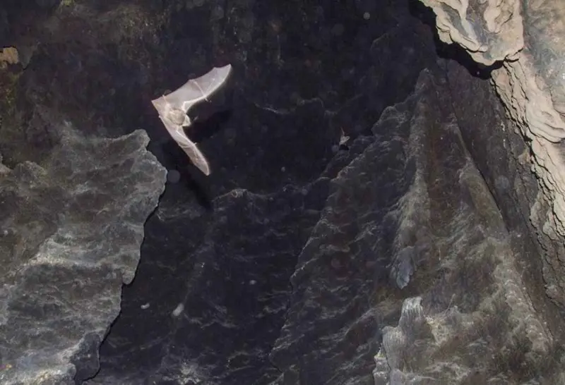
The Bagelijeh Cave shaft is located in Hamedan Province, north of the village of Sorkhabad. The shaft is 35 metres deep, and it cannot be descended without technical caving equipment. Unlike many caves, Bagelijeh is not suitable for general nature-loving visitors, and only cavers with the necessary experience and preparation can reach its depths. For this reason, Bagelijeh is known mainly as a training and scientific cave and is widely used in geological studies. This cave-shaft lies on the southern slope of Mount Qezel Qayeh, or the "Red Mountain", and its entrance is so large that it can be seen from a distance of 500 metres. Bagelijeh has two entrances, one of which is narrower and more difficult to pass through.
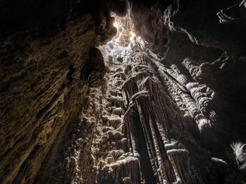
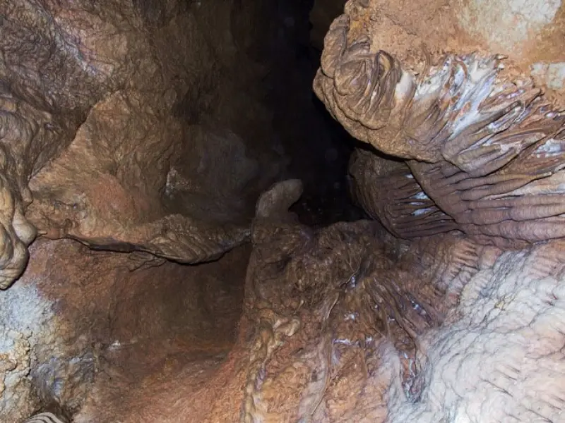
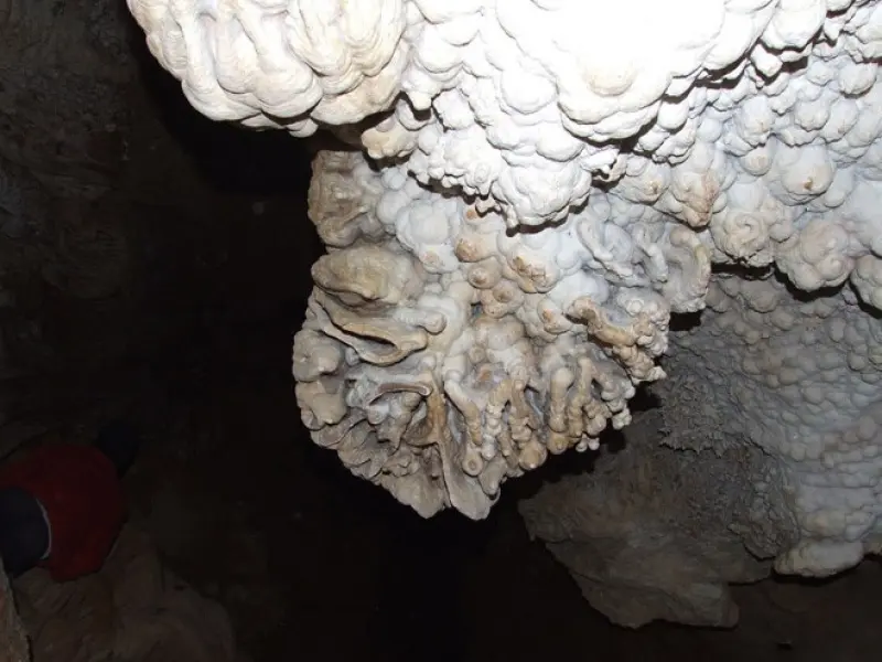
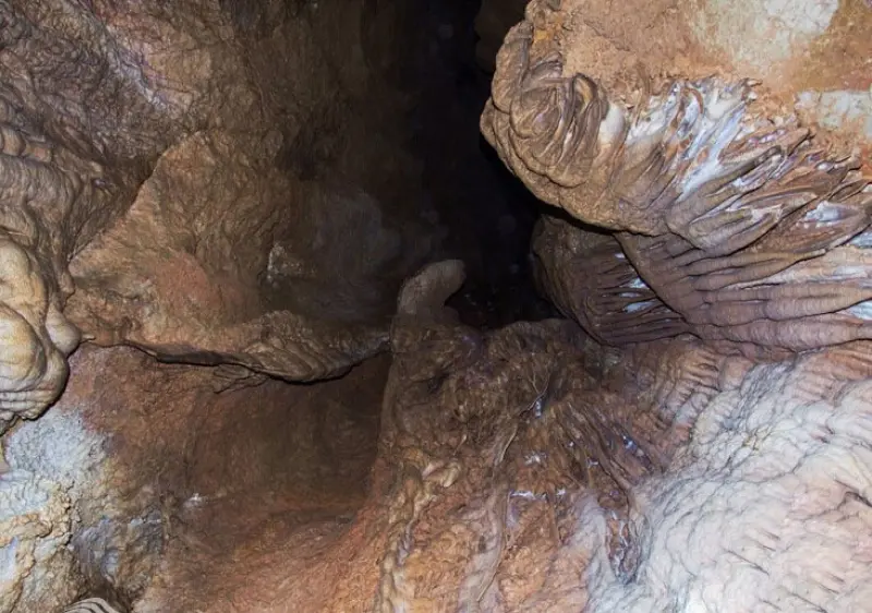
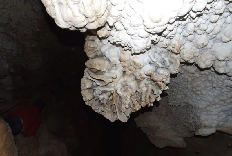
The first chamber of the cave, which closely resembles a dome, is 10 metres in diameter, but to reach it you must cross the floor of the shaft using rock climbing. The floor of the shaft is circular, and from the first chamber, passages can be seen leading to other parts of the cave and to the second chamber. After crossing the first chamber, you reach a corridor completely covered with speleothems (stalagmites) and rock cascades. The second chamber is estimated to extend about 40 metres, and at its end there is a crevice crowded with cave formations. These formations are rocks created by the dripping of infiltrating water inside the cave. It is believed that behind the crevice of the second corridor there may be other chambers that remain untouched. This possibility, which is not far-fetched, suggests that Bagelijeh still holds many unknowns, and uncovering these secrets will require time and more scientific exploration.
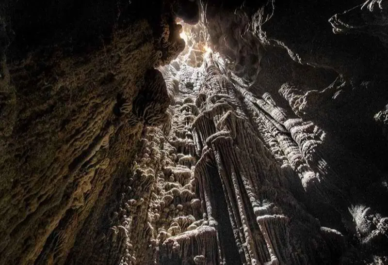
The chambers of Bagelijeh are interconnected and form a labyrinthine space. The walls of the chambers are also covered with a variety of speleothems of different sizes. Some are very tall, while others are small and thin. When you look up from the cave floor, the column-like formations appear as though they are twisted together, forming impossible knots. These shapes, like those in all other caves, were formed from the calcium carbonate deposits in the cave through millions of years of erosion and natural reactions.
Written by زهرا لنگری Last updated
Activities
What you can do here, and what it takes
-
Caving
بدون داشتن لوازم و مهارت غارنوردی، هیچگاه قادر به پیمایش این غار نخواهید بود.
Specifications
Introduction of the location and specifications of Bagelijeh Cave
Location:
Hamadan, Tuyserkan
Coordinates:
34.50490000, 48.42270000
Open in maps
Height above mean sea:
1815 meter
Floras:
Temperate Grasslands
Faunas:
Presence of Allergenic Insects, Presence of Herbivorous Animals
Transports:
Only with technical climbing equipment
Tourist Attractions in Hamadan
Attractions that are nearby

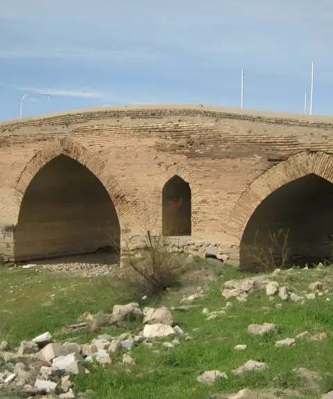

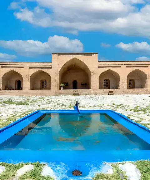
Farsfaj Caravanserai
Province Hamadan
- Walking
A magnificent Safavid architectural legacy amid the natural landscape of Tuyserkan
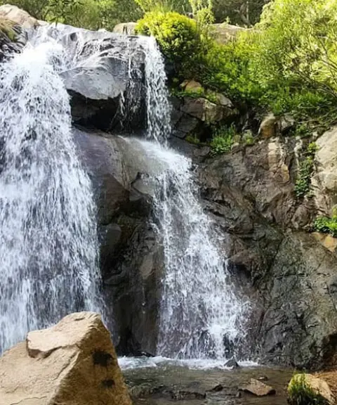
Allu Waterfall
Province Hamadan
- Walking
- Rock Climbing
A Nationally Registered Beauty in the Heart of Alvand


Malusan Protected Area
Province Hamadan
- Walking
- Mountaineering
A treasure of biodiversity in the mountains of western Iran
Tarikdareh Peak
Province Hamadan
- Walking
- Mountaineering
- Skiing
A high peak among the valleys of Alvand
Khan Garmaz Peak
Province Hamadan
- Mountaineering
- Walking
Unfortunately, no comments have been registered.