
 Mountain
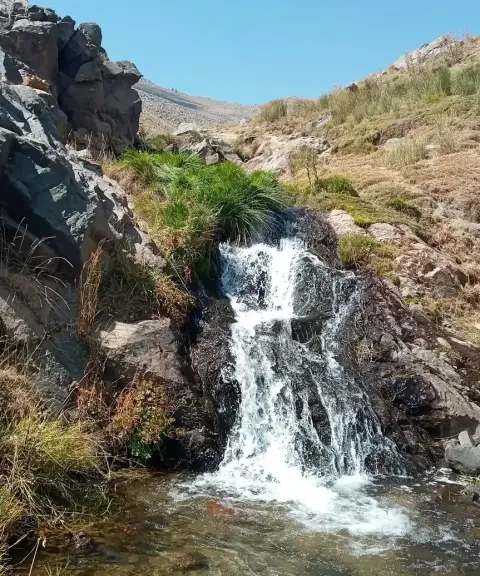

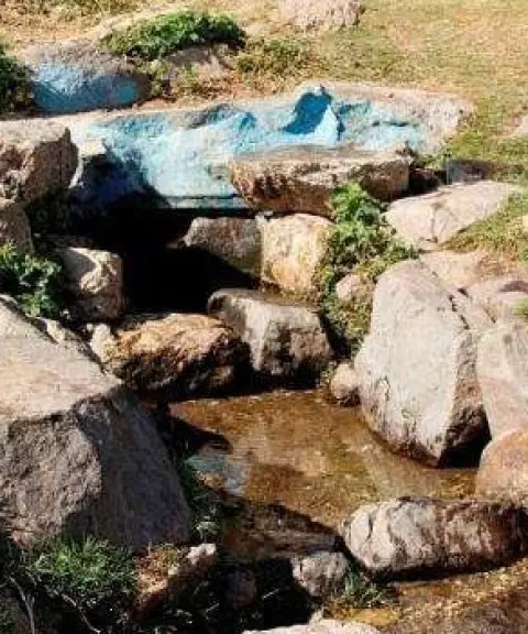
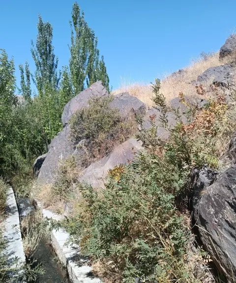
Fershe Spring
Province Hamadan
- Walking
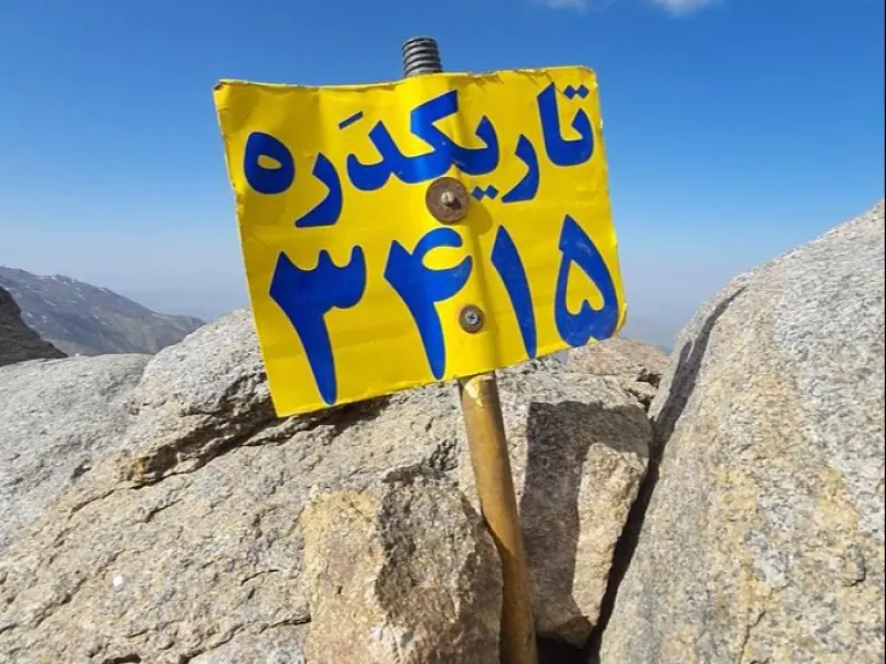
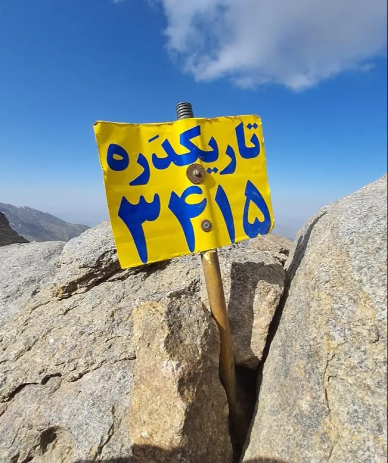
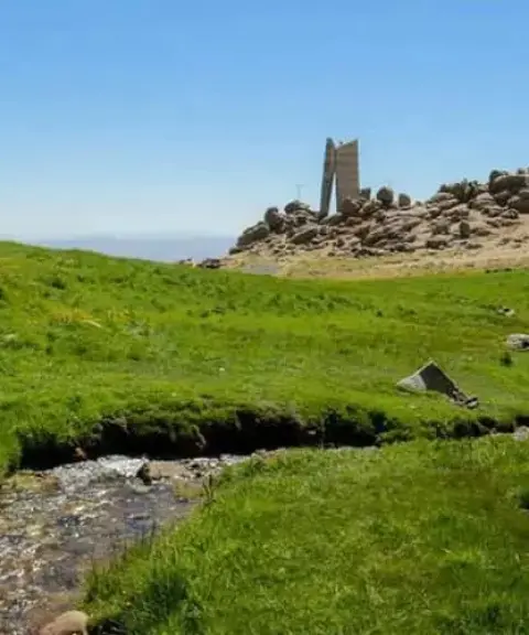
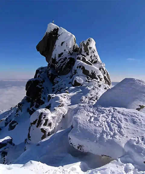
Tarikdareh Peak is one of the tallest and most distinctive peaks of the Alvand mountain range in Hamadan Province, located within Hamadan County, with an elevation of about 3,413 metres above sea level. The peak lies along the Alvand highlands, next to the Tarikdareh valley, and forms part of the mountain scenery southwest of Hamadan. The historic route from Hamadan to Tuyserkan, known as the Royal Road, passes through the Ganjnameh valley and reaches the area of the Tarikdareh Ski Resort, Tarikdareh Castle, Chahar Ghole and the Shahrestaneh Pass. From here, the southern ridge of the pass extends toward Tarikdareh Peak and the Fersheh Spring, and this continuity with the other Alvand heights has made the peak a popular destination among local climbers.
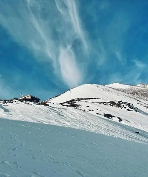
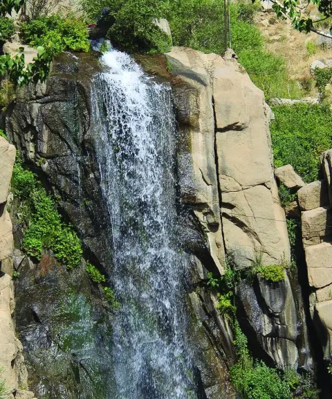
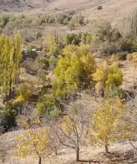
One of the notable features of Tarikdareh is the shape and orientation of the valley beside it. The valley runs north to south, so in some parts direct sunlight lasts for a shorter time, with sunrise seeming later and sunset earlier. For this reason, snow here stays in shade longer than in many surrounding areas. This feature also played a part in giving the place the name "Tarikdareh" ("Dark Valley"). Besides its value for mountaineering, Tarikdareh Peak, thanks to its position in the Alvand massif, its mountain views and the natural trails around it, offers good potential for climbing, nature tourism and photography of high-altitude landscapes. The Tarikdareh Ski Resort is also located in the access area of the peak and is considered one of the best-known sports and recreation spots in this part of the Hamadan highlands.
Tarikdareh Peak can be reached from Hamadan, following the old Hamadan–Tuyserkan road and the Ganjnameh valley area, and the usual ascent route starts from the Tarikdareh Ski Resort. According to available information, the climb from the resort area to the summit takes about two hours; however, the time can vary depending on the weather, physical fitness and the condition of the route. For visiting and climbing, the warmer seasons of the year, especially late spring and summer, usually offer better conditions, while in the cold season snow and falling temperatures can make the ascent harder. When enjoying nature in this region, visitors should avoid damaging vegetation, leaving litter, lighting fires in unsuitable places and leaving the marked trails, and climbers should manage their water and waste so that the Alvand mountain environment suffers as little harm as possible.
Written by زهرا لنگری Last updated
What you can do here, and what it takes
مسیرهای طبیعی اطراف پیست و دامنههای تاریکدره برای پیادهروی در محیط کوهستانی قابل استفاده هستند.
مسیر صعود به قله از محدوده پیست اسکی تاریکدره آغاز میشود و برای رسیدن به ارتفاعات قله مناسب کوهنوردی است.
محدوده پیست اسکی تاریکدره در پاییندست قله، در فصل مناسب، امکان انجام ورزش اسکی را فراهم میکند.
Province Hamadan
Province Hamadan
Province Hamadan
Province Hamadan
Province Hamadan


Unfortunately, no comments have been registered.