
 Mountain
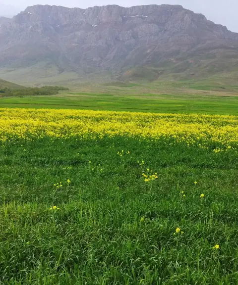
Khan Garmaz Peak
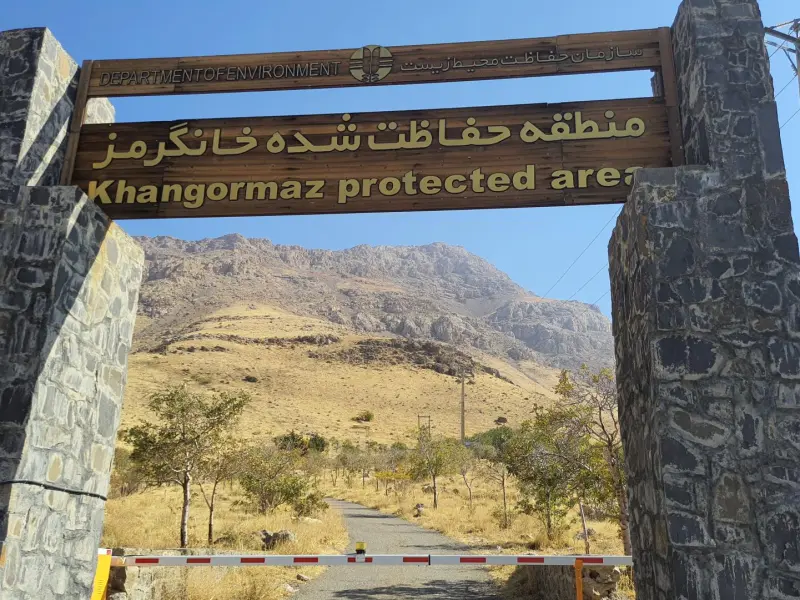
A prominent peak in Hamadan's protected area
- Mountain
- Hamadan, Tuyserkan
- Altitude 2,850 m
- Ability level Intermediate
- Routes 1 recorded route
Ability level:
Intermediate
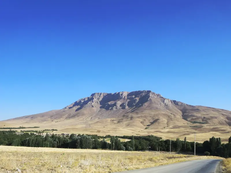
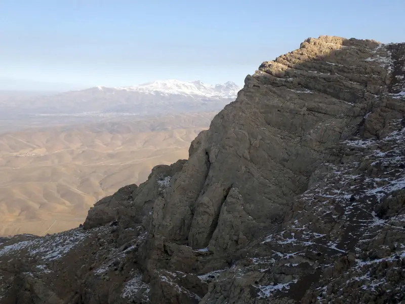
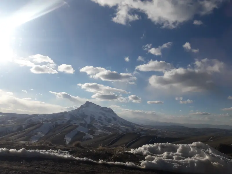
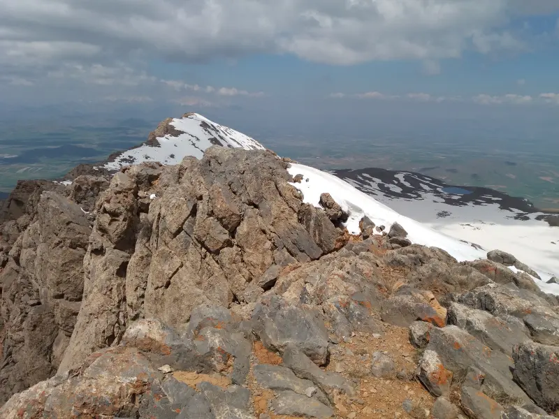
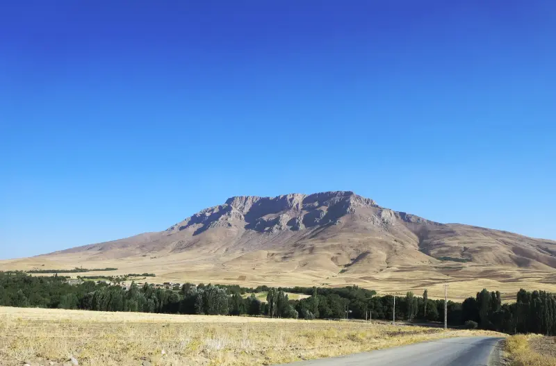
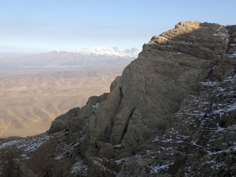
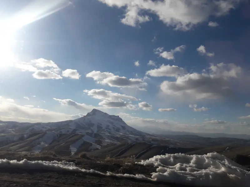
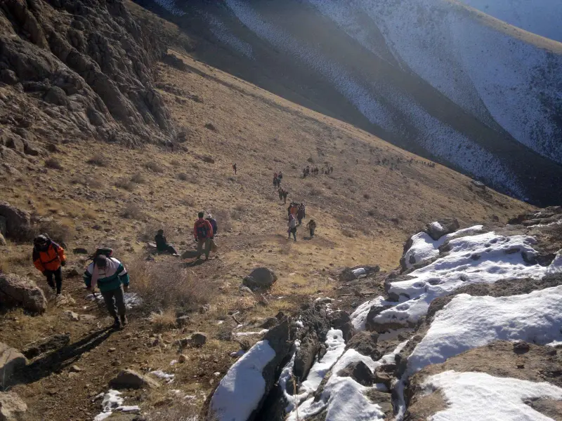
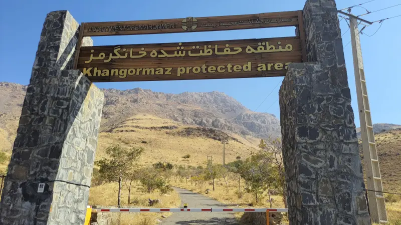
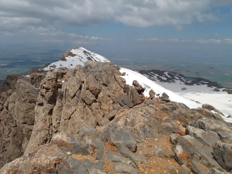
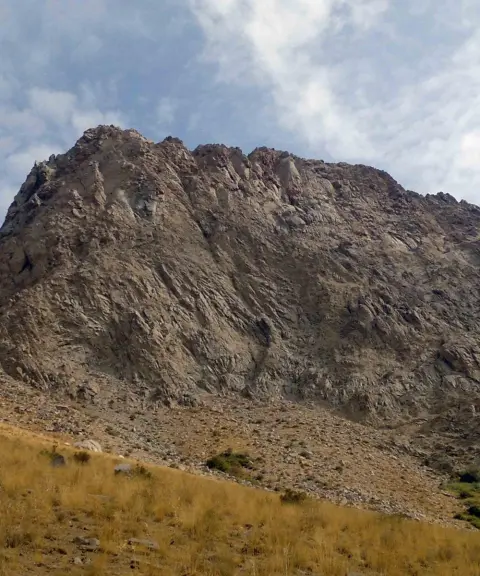
Khan Garmaz Peak is one of the natural high points of Hamadan Province in western Iran, with a reported elevation of about 2,850 to 2,853 metres above sea level. The peak lies in the Khan Garmaz Protected Area, between the counties of Tuyserkan, Kangavar and Asadabad, and is known for its natural scenery, mountain pastures and rich wildlife ecosystem. Among climbers and nature travellers it is regarded as a popular destination in the central Zagros, and its cone-shaped profile stands out strikingly against the surrounding mountains.
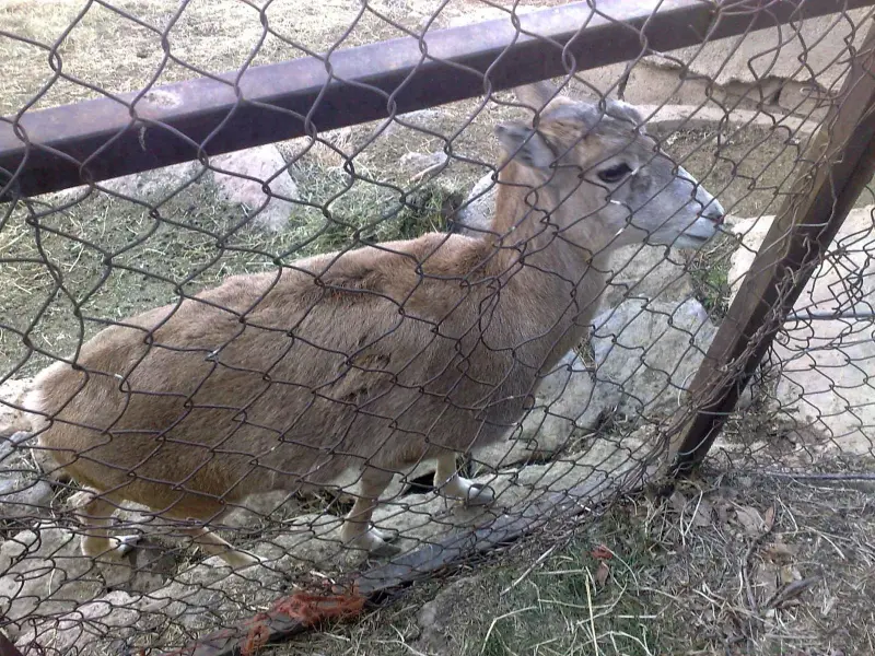
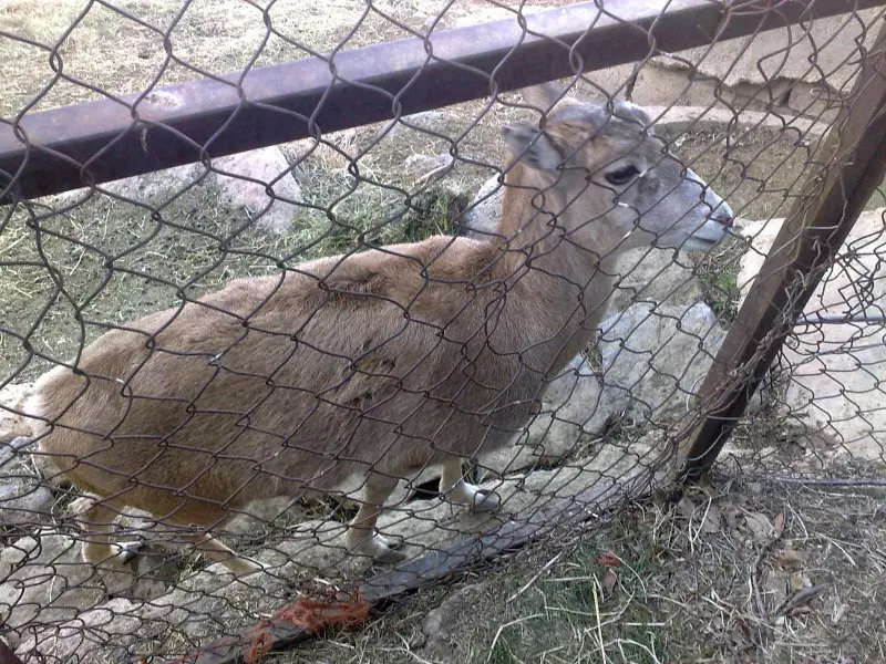
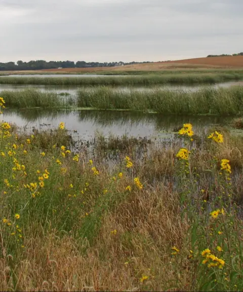
Besides the peak itself, the Khan Garmaz Protected Area has a diverse and beautiful mountain ecosystem that is home to many plant and animal species. The vegetation includes rich grassy pastures, hardy shrublands and native plants such as astragalus (gawn), balegush and mountain grasses, scattered across the lower and middle slopes and gradually giving way to sparse grassy cover at higher elevations. Besides being attractive in its own right, this vegetation provides a suitable habitat for wildlife, including wild goats and ibex.
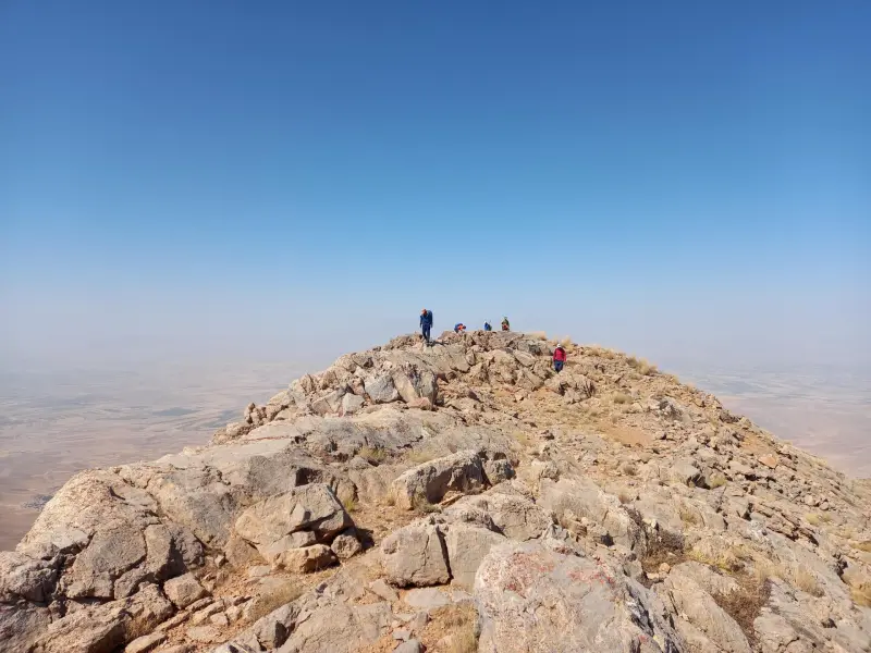
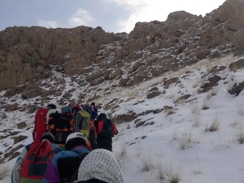
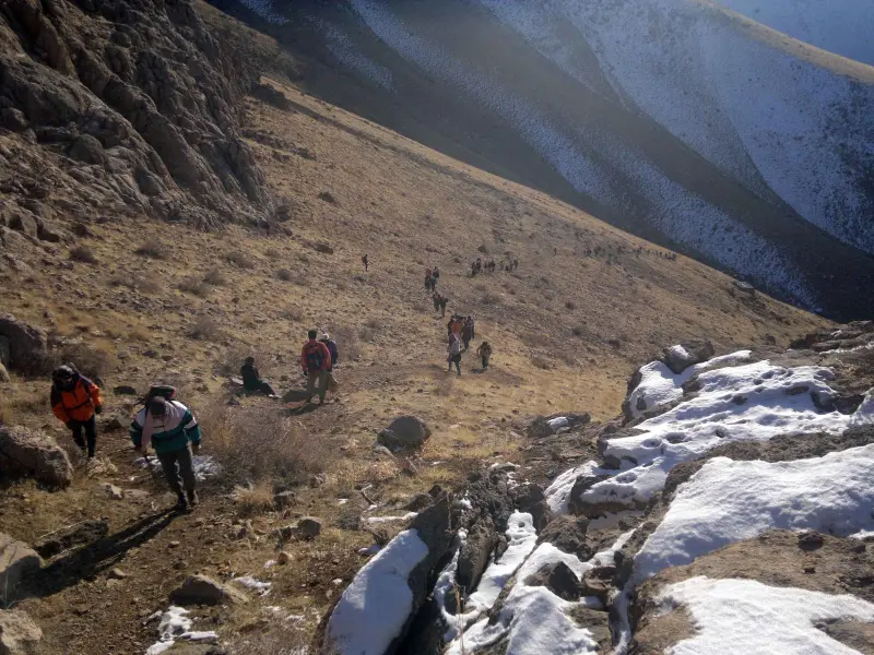
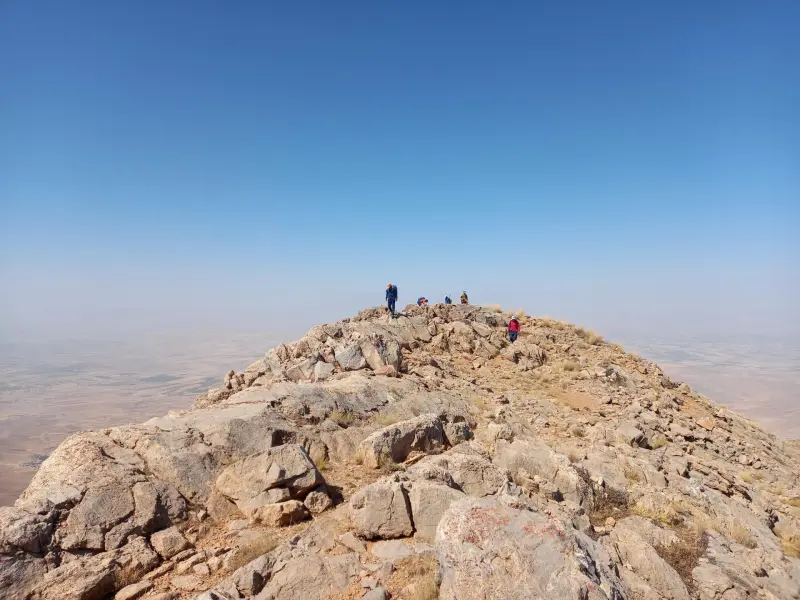
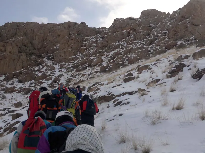
To reach Khan Garmaz Peak, you usually travel from Asadabad or Tuyserkan along side roads to the villages of Valashjerd, Sazian and Kanjuran Olya. From the starting point of the hike, you follow a footpath up toward the heights. The climb to the summit can be a good experience for travellers and climbers of moderate fitness, and the routes generally run over pasture slopes and gentle gradients up to the upper sections. Spring and summer (Ordibehesht to Mehr, roughly late April to September) are the best time for climbing and nature touring in this area, when the weather is mild and the vegetation is at its best. Responsible nature travel is essential, including keeping the area clean, not damaging plants and observing safety on the trail, so that this valuable ecosystem remains for future visitors.
Written by ستایش عرب Last updated
Activities
What you can do here, and what it takes
-
Mountaineering
مسیرهای پاکوب دامنههای مرتعی برای صعود به قله خانگرمز مناسب کوهنوردان با تجربه متوسط است.
-
Walking
مسیرهای پایینتر تا ارتفاعات میانی برای پیادهروی تفریحی و طبیعتگردی مناسب هستند.
Specifications
Introduction of the location and specifications of Khan Garmaz Peak
Location:
Hamadan, Tuyserkan
Coordinates:
34.59280224, 48.20354462
Open in maps
Height above mean sea:
2850 meter
Floras:
Rangeland-Steppe
Faunas:
Presence of Predatory Animals, Presence of Herbivorous Animals
Transports:
Private car, Walking, Minibus, Bus
Tourist Attractions in Tuyserkan
Attractions that are nearby

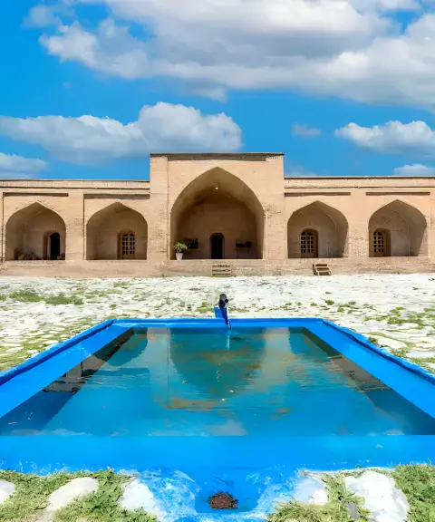

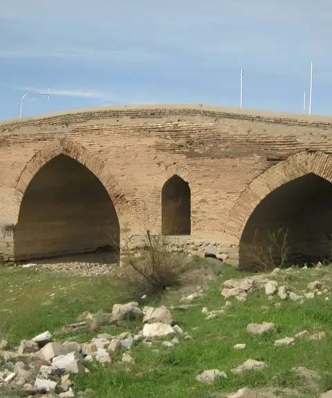
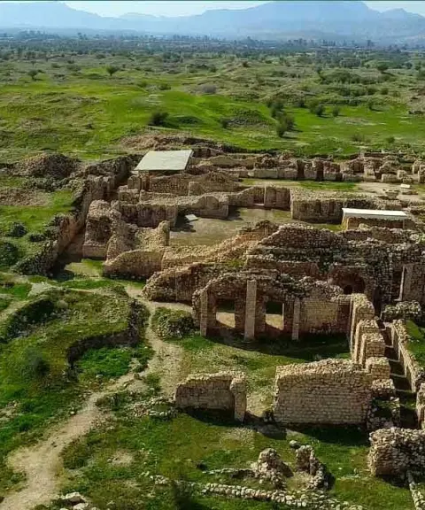
Farsfaj Caravanserai
Province Hamadan
- Walking
A magnificent Safavid architectural legacy amid the natural landscape of Tuyserkan


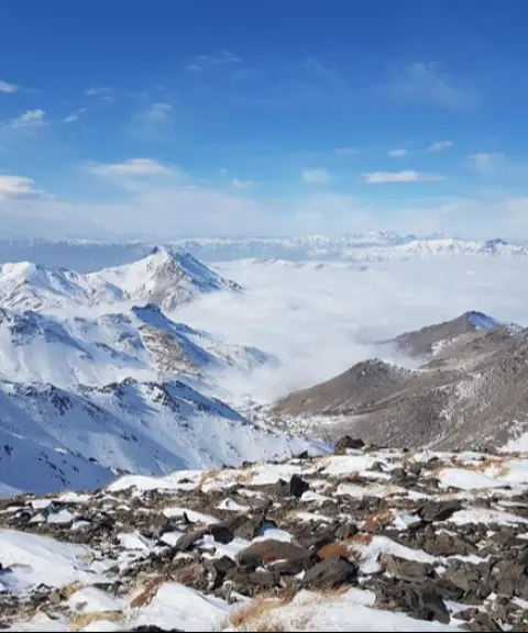
Daemboroof Peak (Permanent Snow Peak)
Province Hamadan
- Mountaineering
The cold heights of the Alvand mountain range in Hamadan
Related tags:
Unfortunately, no comments have been registered.