
 Desert (Kavir)
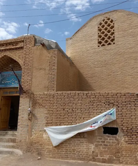

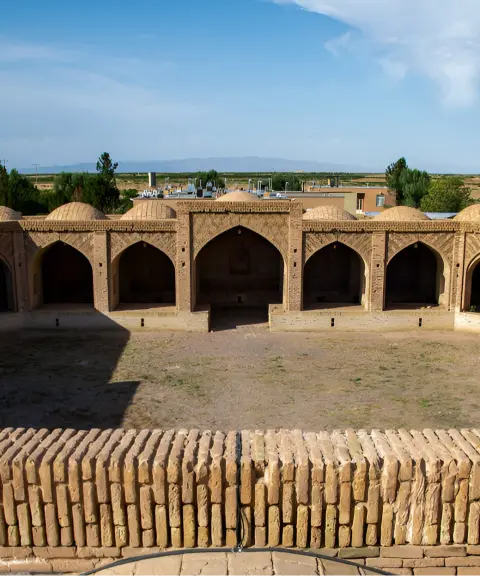
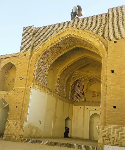
Jame Mosque of Bajestan
Province Razavi Khorasan
- Walking
Salt flats and sand expanses in the heart of Khorasan
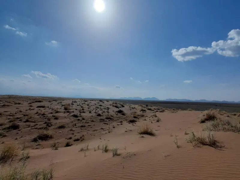
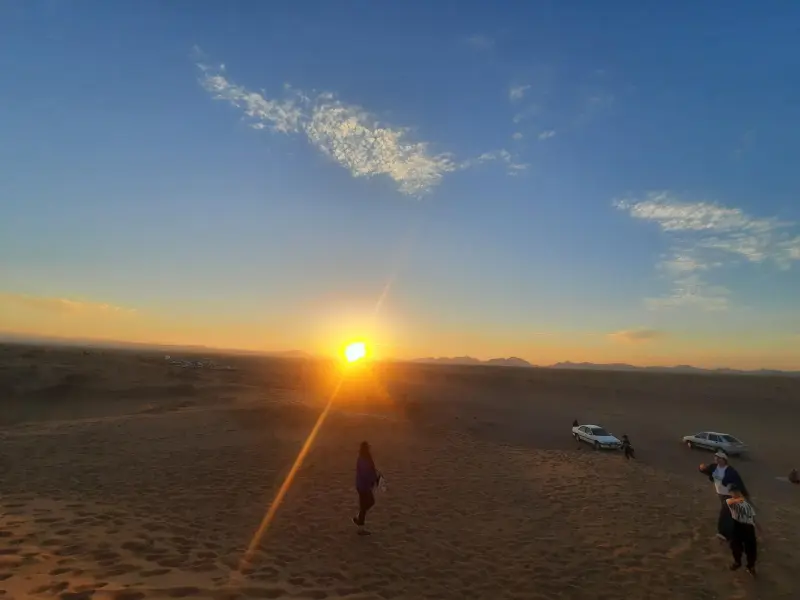
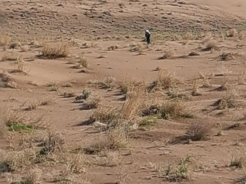
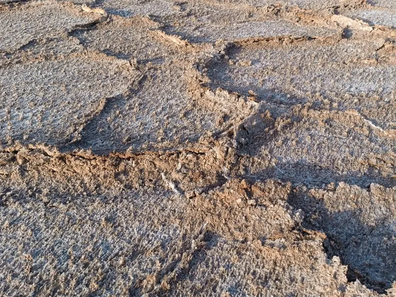
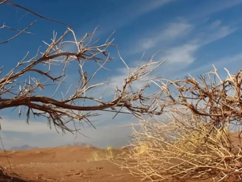
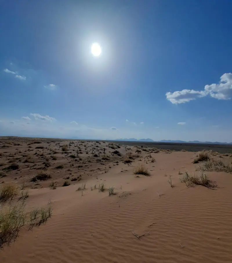
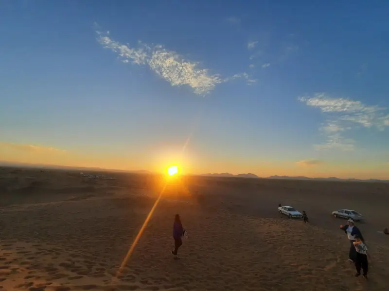
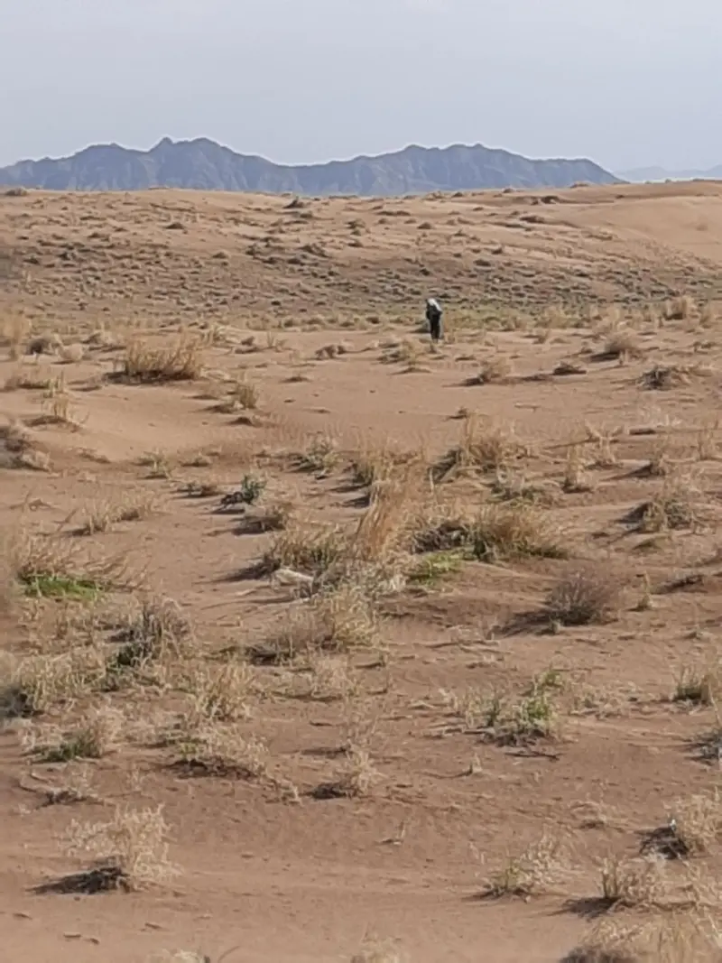
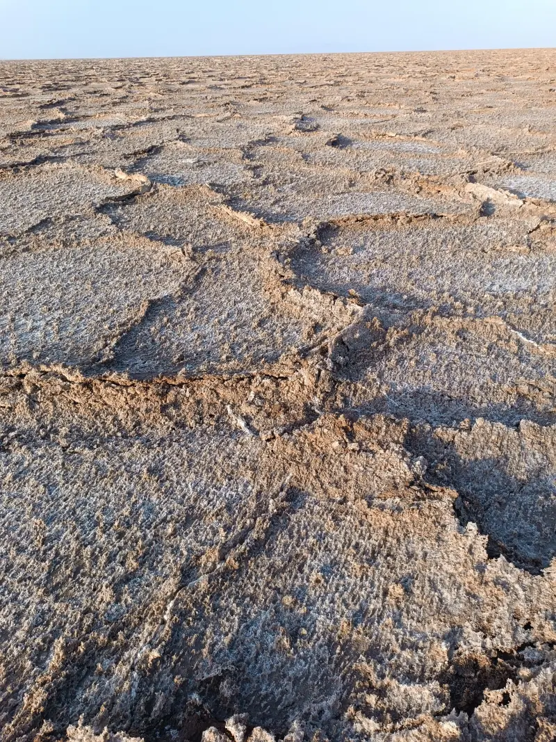
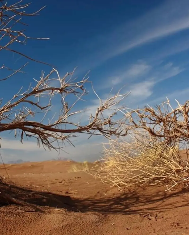
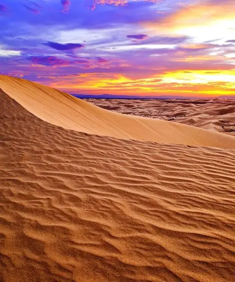
The Bajestan Desert, Iran's second-largest playa, is one of the most distinctive natural landscapes in Khorasan: a calm, vast expanse where salt, light and silence come together in a spectacular way. The desert lies in the southernmost part of Razavi Khorasan and changes its appearance depending on the annual rainfall. During rainy periods a shallow lake forms on its surface, and once it dries out, salt crystals and geometric sediment patterns create astonishing, eye-catching scenery.
The Bajestan Desert consists of two separate parts: the salt section northwest of Bajestan and the sandy section, or erg, northeast of the town of Yunesi. For this reason, the sandy section of Bajestan is also known as the Yunesi Desert. The Bajestan salt playa, which covers several thousand square kilometres in dry years, has salt layers of considerable thickness, beneath which cracked clay sediments can be seen. In some areas, dark salt walls have formed, and because of their high concentration of minerals the area has become known as the "Black Desert". In the sandy section, sand dunes and layered sediments recall a past in which this land lay under water, an account supported by the discovery of fossils and marine remains in nearby areas. The vegetation of the region also depends on the type of ground: in the salt section, salt-loving plants such as ushnan (soapwort), saltwort and tamarisk mostly grow, while in the sandy and marginal areas, species such as wormwood, saxaul and tamarisk are found in greater density.
The Bajestan Desert can be reached by several overland routes, and the town of Bajestan, with road links to Mashhad, Bardaskan, Tehran and Birjand, is a convenient starting point for entering the region. Bajestan railway station has also made travel to the area easier. From these routes you can head toward either the salt playa or the sandy erg. The best time to visit is usually Khordad and Shahrivar (roughly late May to June, and late August to September), when temperatures are milder and the salt ponds have not yet turned muddy. Surrounding villages such as Yunesi, Mazar and Robat-e Fakhrabad offer ecolodges, which are good options for staying overnight and getting to know the local culture. A trip to the Bajestan Desert is a chance to experience the soothing contrast between light, salt and sand in the vast nature of Khorasan.
Written by ستایش عرب Last updated
What you can do here, and what it takes
حاشیه پلایای نمکی و مسیرهای پیرامون تپههای شنی مکان مناسبی برای پیادهروی آرام و تماشای چشماندازهای کویری است.
Province Razavi Khorasan
Province Razavi Khorasan
Province Razavi Khorasan
Province Razavi Khorasan
Province Razavi Khorasan
Province South Khorasan
Province Razavi Khorasan

Unfortunately, no comments have been registered.