
 Mountain
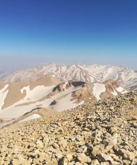
Kolunchin Peak
Province Chaharmahal and Bakhtiari
- Mountaineering
- Walking
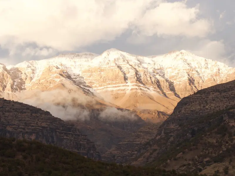
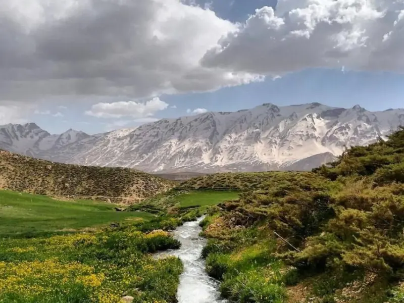
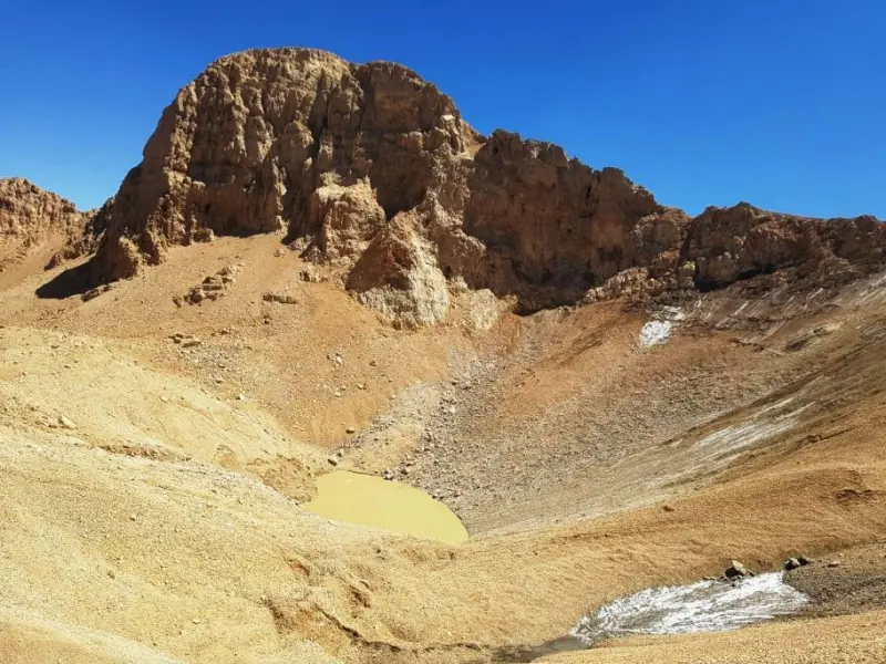
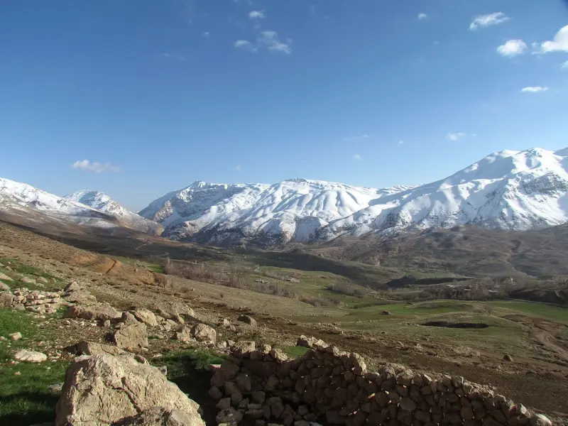
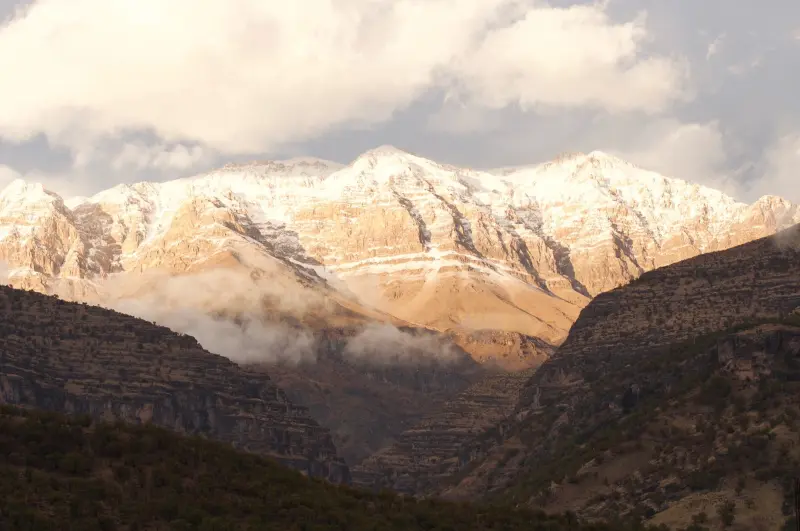
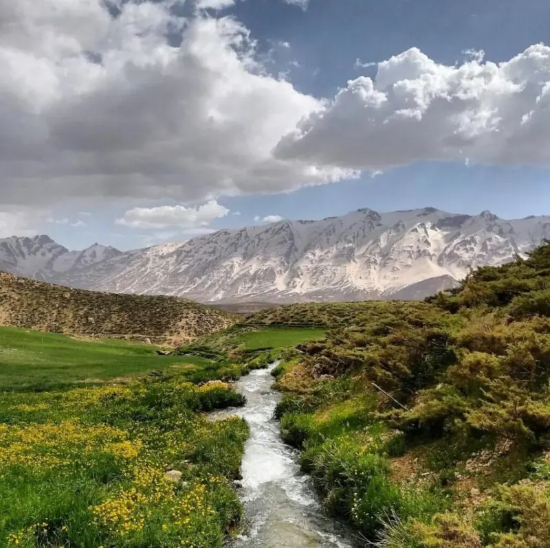
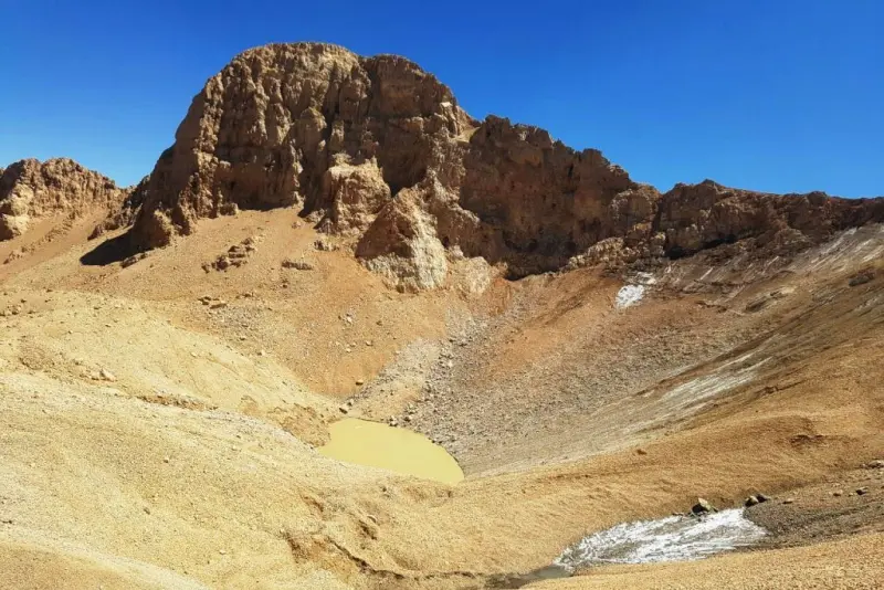
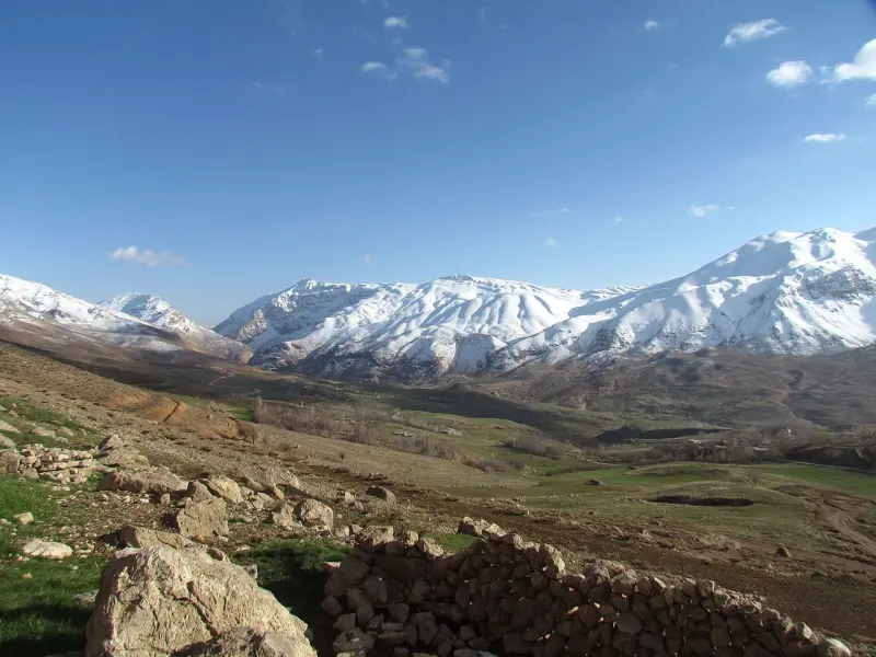
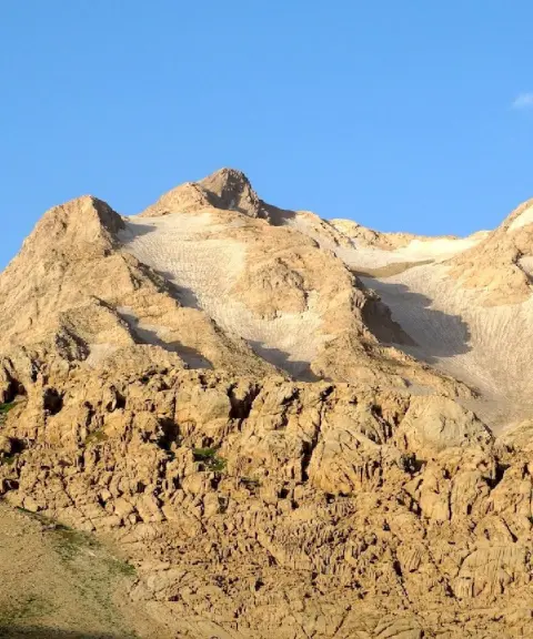
Zardkuh, also known as Zardkuh Bakhtiari, is one of the most famous mountains in Iran. It lies in the central Zagros range in Chaharmahal and Bakhtiari Province. With its high peaks, this massif is a popular destination for mountaineers and nature lovers. Kolunchin Peak, at 4,221 meters, is the highest summit of Zardkuh and the second-highest peak in the Zagros after Mount Dena. The massif is also the main source of the Karun, Zayandeh Rud and Dez rivers, which makes it especially important for the country's water supply.
Zardkuh consists largely of high terrain with snow-catching peaks and natural glaciers. Some of Iran's most important glaciers, such as the Iluk Glacier (the longest natural glacier in the country), are found here. Because of its particular geographic position, in the path of the Sudanese, Mediterranean and Red Sea weather systems, it is the wettest mountain region in Iran and even in the Middle East. Average annual snowfall in the area is between 15 and 20 meters, and in heavy-precipitation years it exceeds 34 meters. This abundant snowfall has made Zardkuh known as one of the snowiest places in Iran.
The best time to visit Zardkuh is summer, especially the months of Mordad and Shahrivar (roughly August and September), when conditions are ideal for hiking and exploring the area. Experienced mountaineers come to the massif particularly in winter, since a winter ascent of Zardkuh presents many challenges, and its western walls and deep valleys make it an exciting destination for serious climbers. For a winter ascent, however, climbers must be familiar with the region's weather conditions in order to avoid avalanche danger and unstable weather.
Written by زهرا لنگری Last updated
What you can do here, and what it takes
از کفش و لوازم مخصوص کوهنوردی استفاده کنید.
Province Chaharmahal and Bakhtiari
Province Chaharmahal and Bakhtiari
Province Chaharmahal and Bakhtiari
Province Chaharmahal and Bakhtiari
Province Chaharmahal and Bakhtiari
Province Chaharmahal and Bakhtiari
Province Chaharmahal and Bakhtiari


Unfortunately, no comments have been registered.