
 Mountain
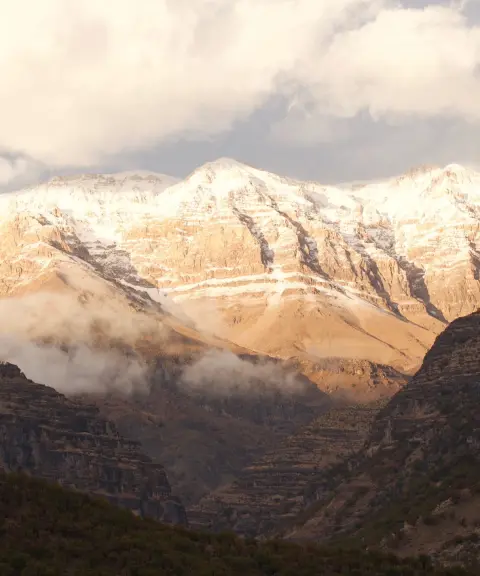
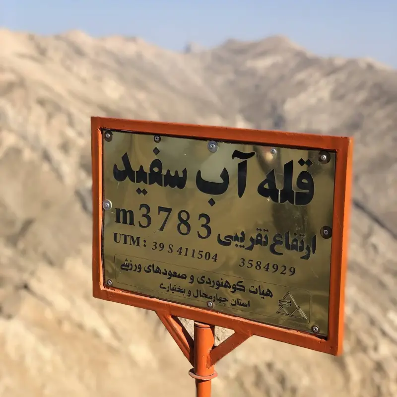
Ab-e Sefid Peak
A Towering Summit in the Central Zardkuh Range
- Mountain
- Isfahan, Kashan
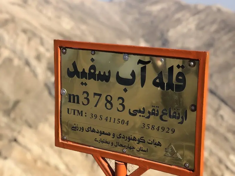
- Altitude 3,783 m
- Ability level Advanced
- Routes 1 recorded route
Ability level:
Advanced
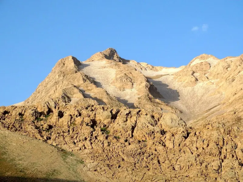
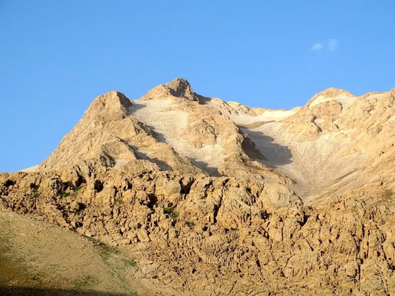
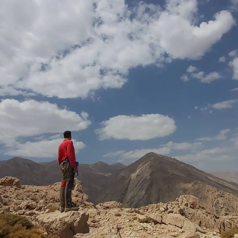
Ab-e Sefid Peak is one of the most prominent summits of the Central Zardkuh range in Chaharmahal and Bakhtiari Province, Iran. It lies southwest of the Chelgerd area, next to the Tang-e Bazoft natural area. The peak is part of the High Zagros and takes its name from the clear waters and abundant springs around it, which can be seen along the climbing route and on its slopes, adding to the beauty of the mountain scenery.
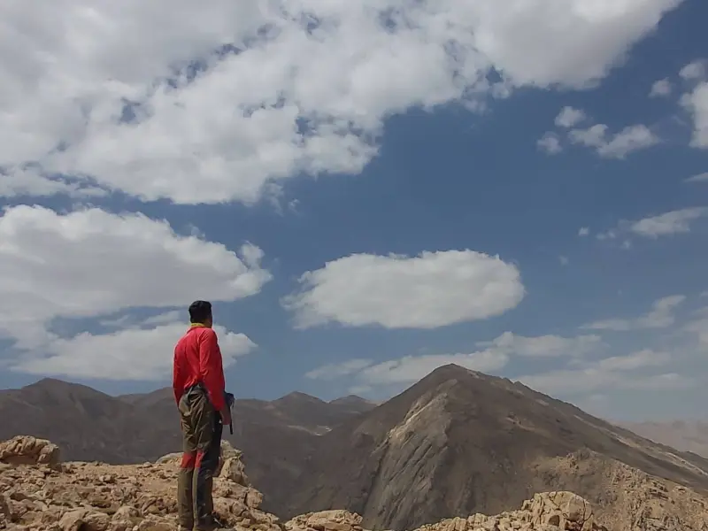
At an approximate elevation of 3,759 to 3,783 metres above sea level, Ab-e Sefid Peak is one of the most striking and challenging objectives for experienced climbers in the central Zagros. The climbing routes start from the Tang-e Bazoft area / the road to the first Kuhrang dam. Along the way you can see springs, small seasonal glaciers and wide mountain panoramas, an unforgettable experience for lovers of mountains and nature.
Access to Ab-e Sefid Peak usually begins in the town of Chelgerd (the center of Kuhrang County), which can be reached from Shahrekord. From there a side road continues towards the Kuhrang dams and Tang-e Bazoft. The best time to climb and visit the area is from early summer to early autumn, when the routes are relatively dry and the mountain weather is milder. Responsible nature tourism is essential: carry standard mountaineering equipment, respect the established trails, take your personal rubbish with you, and avoid damaging the vegetation and wildlife of the area.
Written by ستایش عرب Last updated
Activities
What you can do here, and what it takes
-
Mountaineering
مسیرهای پاکوب از تنگ بازفت تا قله مناسب کوهنوردان حرفهای با تجهیزات کامل است.
Specifications
Introduction of the location and specifications of Ab-e Sefid Peak
Location:
Isfahan, Kashan, Shahrekord
Coordinates:
32.39771862, 50.05834579
Open in maps
Height above mean sea:
3783 meter
Floras:
Semi-humid mountain climate
Faunas:
Presence of Predatory Animals, Presence of Herbivorous Animals
Transports:
Private car, Walking, Minibus, Bus
Tourist Attractions in Kashan
Attractions that are nearby
Kolunchin Peak
Province Chaharmahal and Bakhtiari
- Mountaineering
- Walking
The Summit of Zard Kuh in the Bakhtiari Mountains
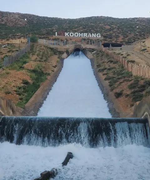

Koohrang Tunnel Waterfall
Province Chaharmahal and Bakhtiari
- Walking
Engineering in the Heart of Zagros Nature
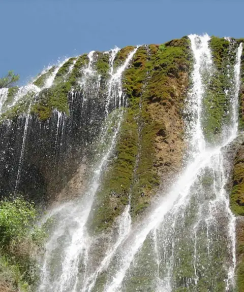
Sheikh Ali Khan Waterfall
Province Chaharmahal and Bakhtiari
- Mountaineering
- Walking
The Miniature Waterfall of Iran
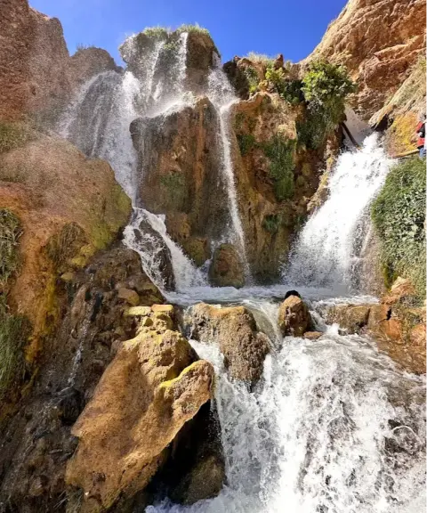
Sheikh Alikhan Waterfall
Province Chaharmahal and Bakhtiari
- Walking
- Swimming
A stunning Bakhtiari waterfall in the Zardkuh Mountains
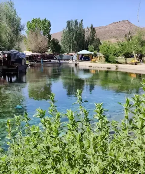

Dimeh Spring
Province Chaharmahal and Bakhtiari
- Walking
The crystal-clear source of the Zagros in the heart of Koohrang
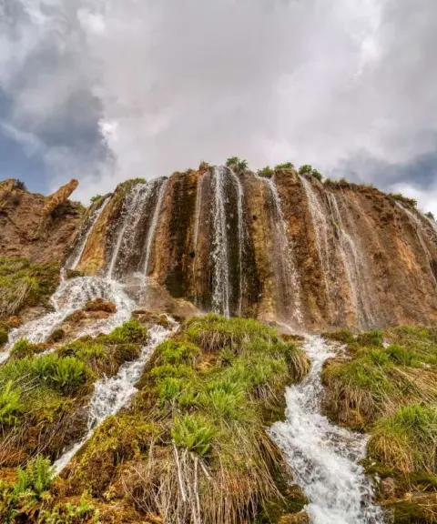
Niakan Waterfall
Province Chaharmahal and Bakhtiari
- Walking
- Swimming
A roaring gem in the heart of nature
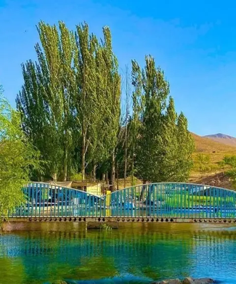

Dimeh Village
Province Chaharmahal and Bakhtiari
- Walking
Unfortunately, no comments have been registered.