
 Mountain
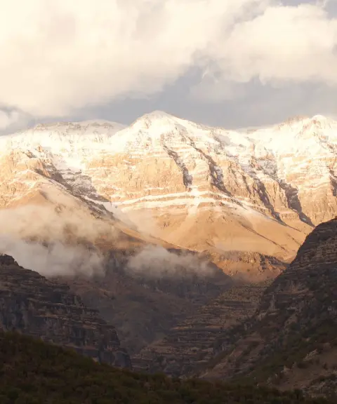
Kolunchin Peak
The Summit of Zard Kuh in the Bakhtiari Mountains
- Mountain
- Chaharmahal and Bakhtiari, Bazoft
- Altitude 4,200 m
- Ability level Advanced
- Routes 1 recorded route
Ability level:
Advanced
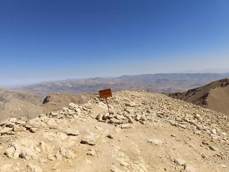
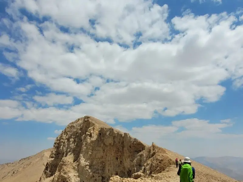
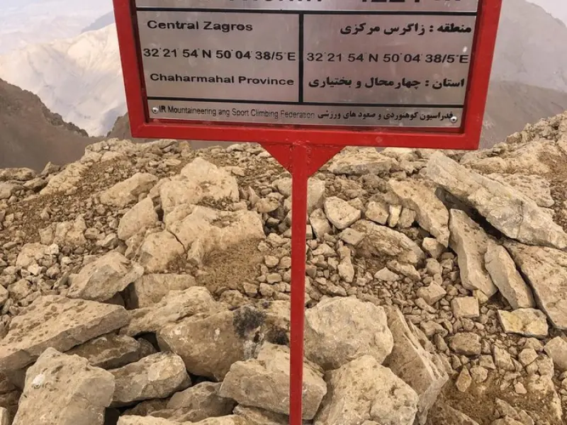
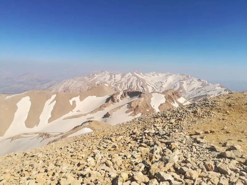
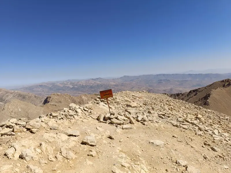
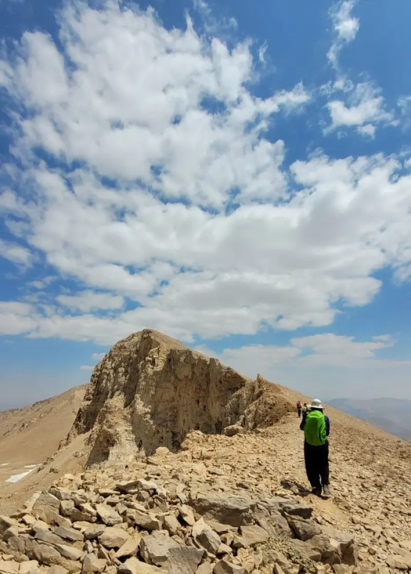
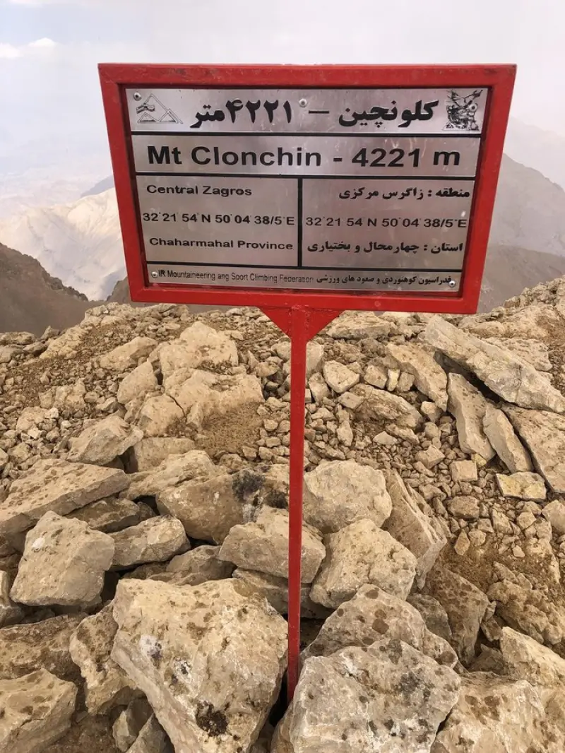
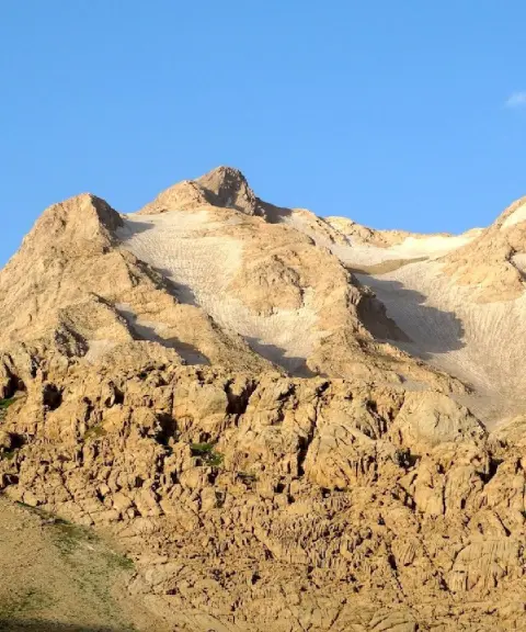
Kolunchin Peak, the highest summit of Zard Kuh in the Bakhtiari Mountains, rises to about 4,250 metres. It lies in Chaharmahal and Bakhtiari Province, in Kuhrang County, near the village of Chelgerd. Zard Kuh is part of the north-central Zagros Mountains and stretches across southwestern Iran. The range lies in the Bakhtiari region between Isfahan and Khuzestan, and after Mount Dena it is regarded as the second-highest peak of the Zagros. Zard Kuh is one of Iran's richest natural water sources and the headwaters of many major rivers, such as the Karun and the Zayandeh Rud. Its best-known peaks include Shah Shahidan, Zardeh, Do Zardeh, Haft Tanan, Kolunchin and Kino. Kolunchin, at 4,221 to 4,250 metres, is considered the highest point of the range.
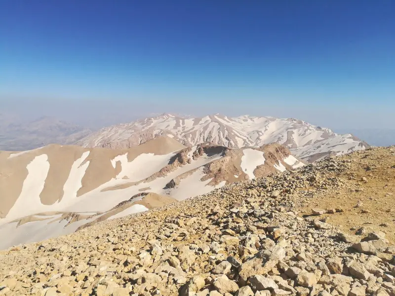
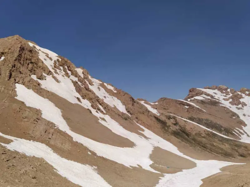
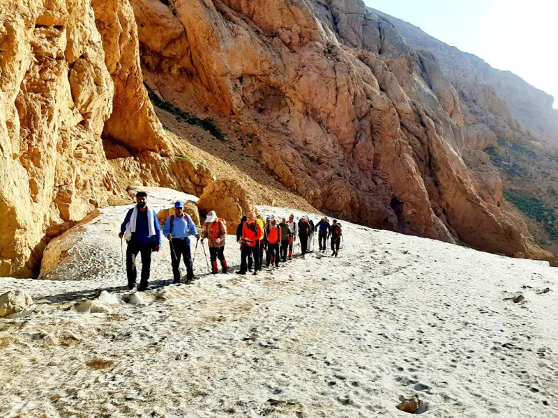
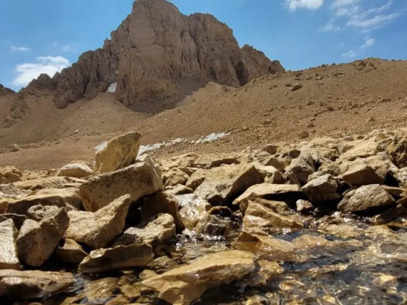
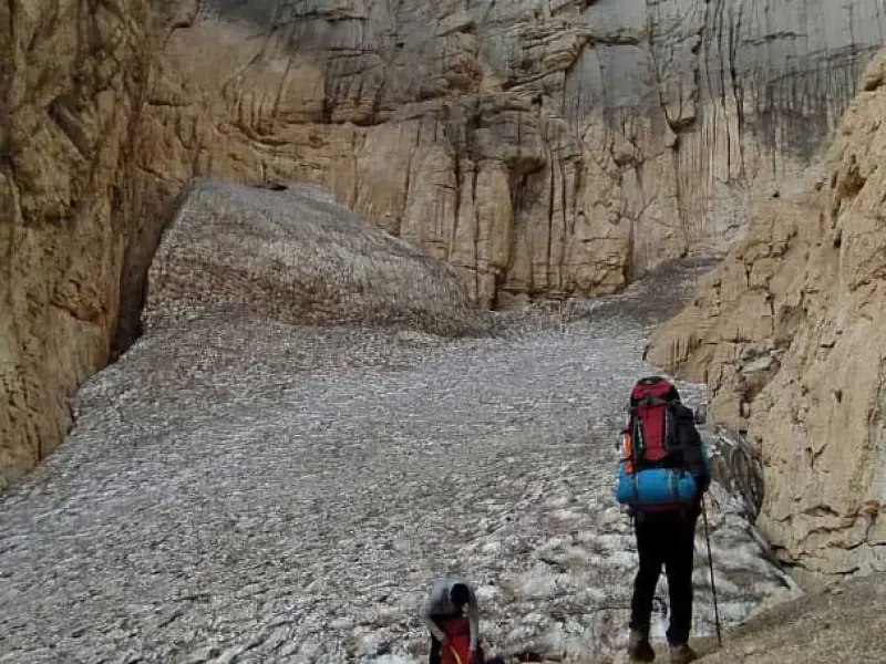
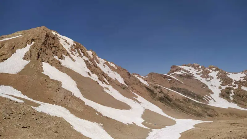
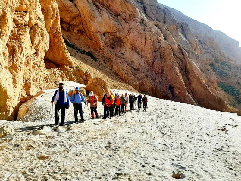
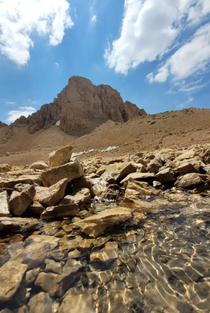
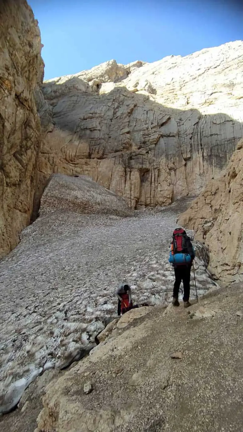
The ascent route to Kolunchin Peak usually starts from the eastern valley, the second tunnel of the Kuhrang Dam and the Kul Khadang Gorge. The route includes flat terrain covered with astragalus (gon) bushes and thorny shrubs, a valley crossing, snow tunnels and technical rock sections that require scrambling with the hands. At an altitude of about 3,600 metres, Shah Shahidan Peak and the other summits along the route come into view, and after crossing glaciers and minor passes the route reaches Kolunchin Peak. The full route is roughly 20.92 kilometres, and the Chal-e Mishan and Khersan shelters provide places to rest and stay overnight. Alternative routes include the North Ridge and the East Ridge, which are used for winter ascents and more difficult climbs. In spring, the surrounding meadows are filled with the fragrance of medicinal plants, and meltwater streaming from the snow gives the mountains a special freshness. At higher altitudes, the rocky, snow-covered landscapes show a rugged yet majestic face of nature.
The peak can be reached via Kuhrang County and dirt roads to the village of Chelgerd. The best season for the climb is summer, because the routes are dry and the permanent glaciers are smaller. Visitors should follow the principles of safe mountaineering and responsible nature tourism, including carrying adequate equipment, taking care when crossing snow tunnels and glaciers, and respecting the natural environment and the region's flora and fauna. Besides its stunning views, the peak is home to animal species such as the brown bear, leopard, wild goat and ibex, mouflon and wild sheep, chukar partridge, golden eagle and horned viper. A variety of plants, such as golden herb (zarrin giyah), bilhar, wild mint (pooneh) and astragalus (gon), grow along the route.
Written by ستایش عرب Last updated
Activities
What you can do here, and what it takes
-
Mountaineering
مسیر دره شرقی، تونل دوم سد کوهرنگ و کول خدنگ، مناسب کوهنوردان حرفهای برای پیمایش طولانی و فنی است.
-
Walking
در بخشهای پایینتر مسیر و دشتهای اطراف تونل، پیادهروی و مشاهده طبیعت بکر امکانپذیر است.
Specifications
Introduction of the location and specifications of Kolunchin Peak
Location:
Chaharmahal and Bakhtiari, Bazoft, Olya Elegi Village
Coordinates:
32.36500000, 50.07760000
Open in maps
Height above mean sea:
4200 meter
Floras:
Semi-humid mountain climate
Faunas:
Presence of Predatory Animals, Presence of Herbivorous Animals, Presence of Allergenic Insects
Transports:
Private car, Walking, Minibus, Bus
Tourist Attractions in Bazoft
Attractions that are nearby
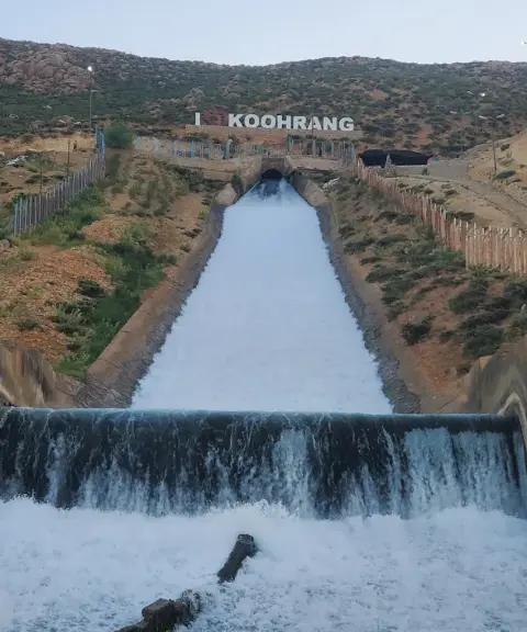

Koohrang Tunnel Waterfall
Province Chaharmahal and Bakhtiari
- Walking
Engineering in the Heart of Zagros Nature
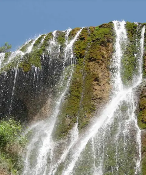
Sheikh Ali Khan Waterfall
Province Chaharmahal and Bakhtiari
- Mountaineering
- Walking
The Miniature Waterfall of Iran
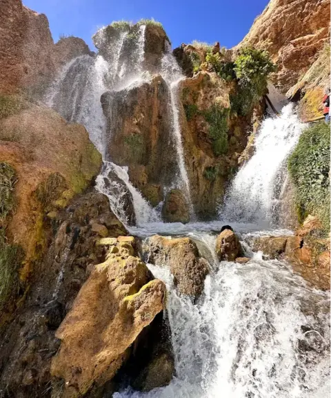
Sheikh Alikhan Waterfall
Province Chaharmahal and Bakhtiari
- Walking
- Swimming
A stunning Bakhtiari waterfall in the Zardkuh Mountains
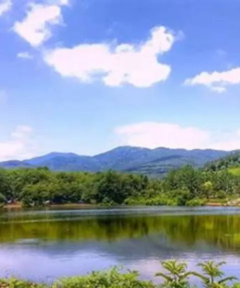

Nazi Lake
Province Chaharmahal and Bakhtiari
- Walking
- Rowing
- Mountaineering
A Hidden Gem in the Heart of Zardkuh-e Bakhtiari
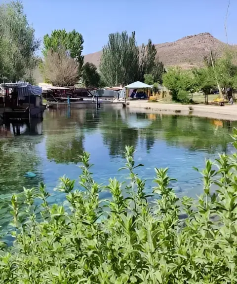

Dimeh Spring
Province Chaharmahal and Bakhtiari
- Walking
The crystal-clear source of the Zagros in the heart of Koohrang
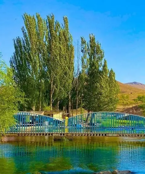

Dimeh Village
Province Chaharmahal and Bakhtiari
- Walking
Unfortunately, no comments have been registered.