
 Mountain
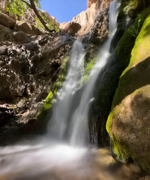

Darreh Shah Waterfall
Province Isfahan
- Walking
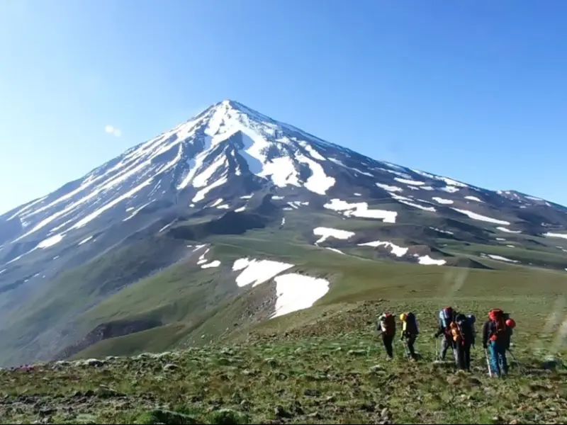
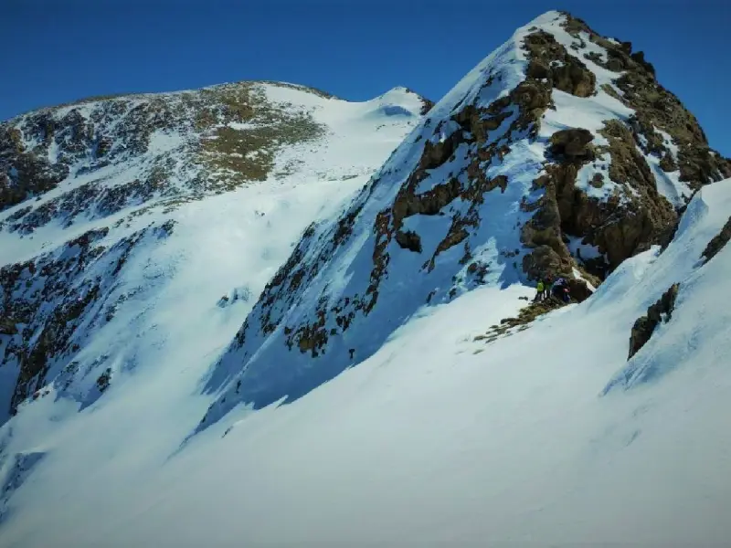
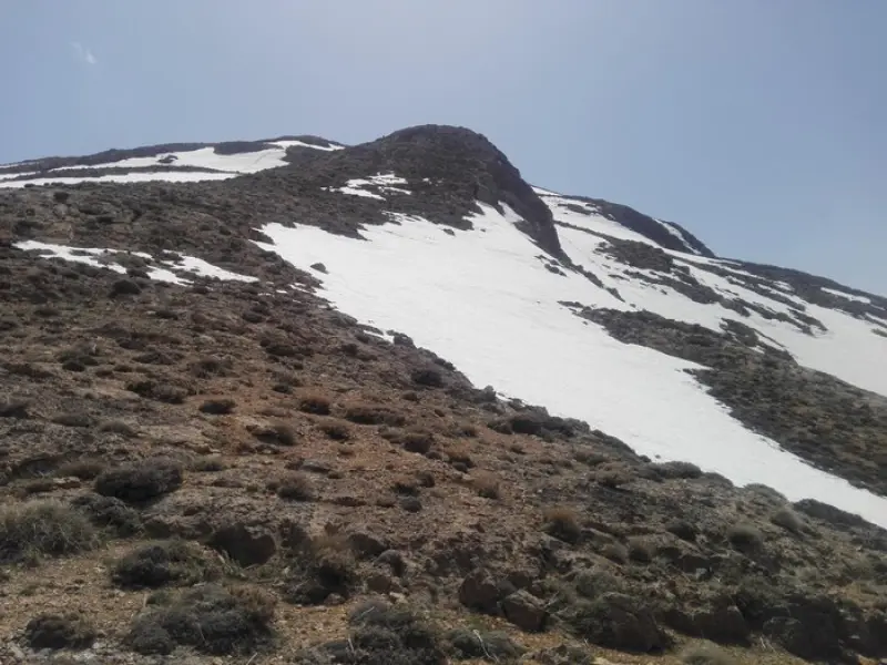
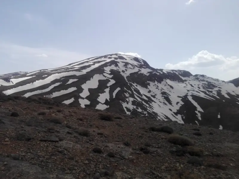
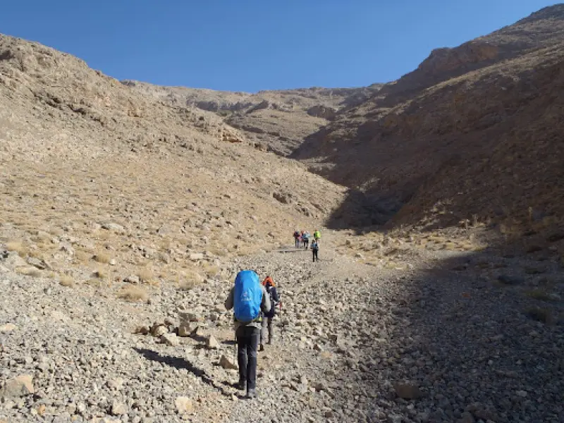
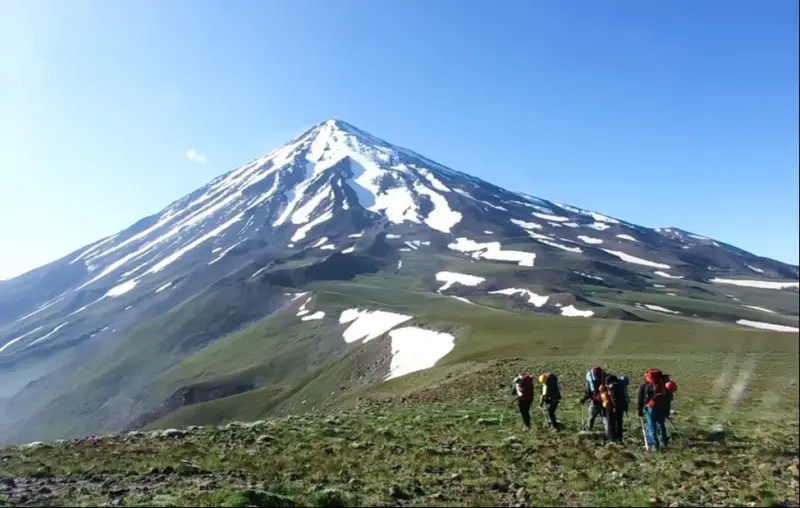
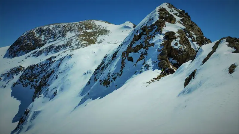
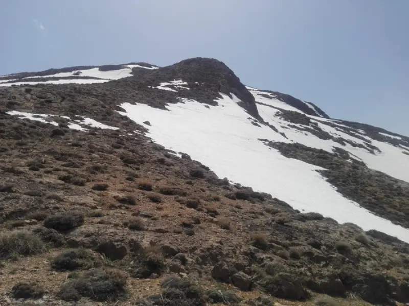
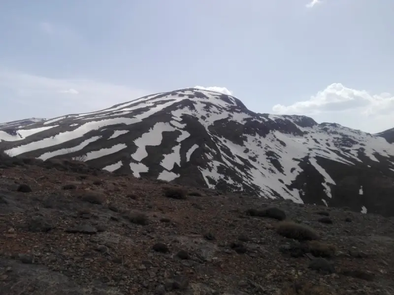
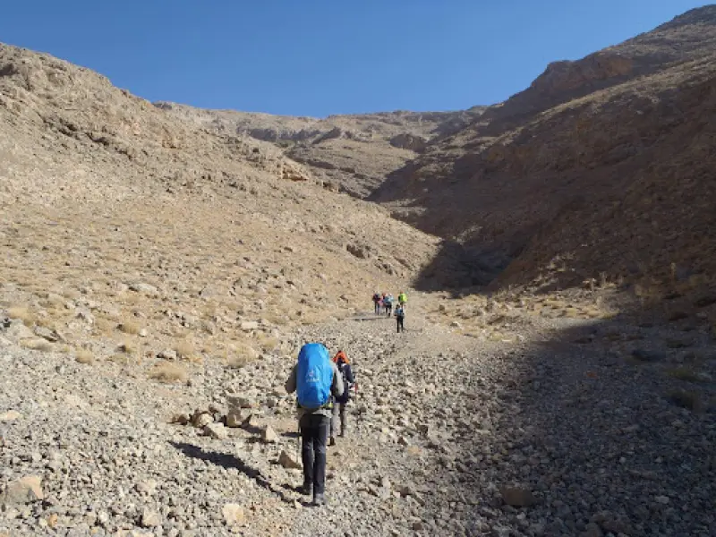
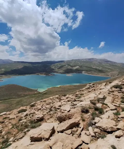
Shanli Peak is located 140 km south of Isfahan and 25 km south of Dehaghan county. It takes its name from its smooth slopes covered in sand and gravel ("shen" means sand in Persian), and among local people it is also known as "Shandon". With its beautiful natural scenery and varied climbing routes, Shanli is an attractive destination for mountaineers and nature lovers. The peak has several ascent routes, the best known of which passes through the village of Varaq (or Pirasfaneh); along the way there are permanent springs such as the Alabolagh spring.
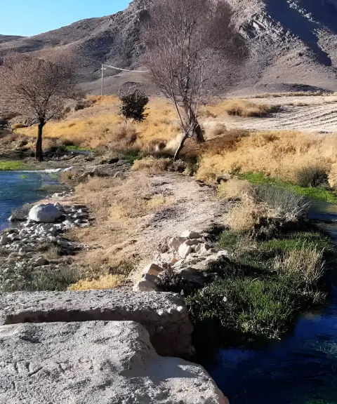
The area is mainly covered by mountain and semi-arid vegetation, including drought-resistant plants such as milkvetch (gon), wormwood (artemisia), various thorny shrubs and, in spring, occasional wildflowers. Animals such as foxes, partridges and hares, as well as birds of prey such as eagles, can be seen in the area. Non-venomous snakes and lizards also live on the slopes of the peak. The best times to visit are spring and autumn, when the weather is mild and the landscape is green and full of flowers.
For climbing Shanli Peak, spring and summer are the best seasons. During these seasons the weather is relatively stable and temperatures are moderate. In spring the landscape is still green and beautiful, and in summer the days are longer and conditions for climbing are better. However, if you plan to climb in the colder seasons, such as autumn or winter, you need special experience and equipment, because weather conditions can be more dangerous.
Written by ستایش عرب Last updated
What you can do here, and what it takes
حتما از کفش کوهنوردی استفاده کنید.
Province Isfahan
Province Isfahan
Province Chaharmahal and Bakhtiari
Province Chaharmahal and Bakhtiari
Province Chaharmahal and Bakhtiari
Province Chaharmahal and Bakhtiari


Unfortunately, no comments have been registered.