
 Seas and Lakes
- Ability level Intermediate
Ability level:
Intermediate
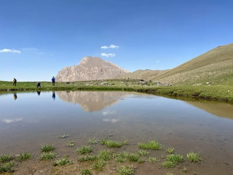
Kamankuh Pond lies in the Alborz mountain range and is accessible via the Karaj–Chalus road. When the snow melts in spring, full lakes and ponds form among the mountains, and part of the water flows on as rivers. As a result, many ponds and seasonal rivers are found in this area, which greatly enhance the beauty of the mountain scenery. If you plan to visit, be sure to bring drinking water and warm clothing.
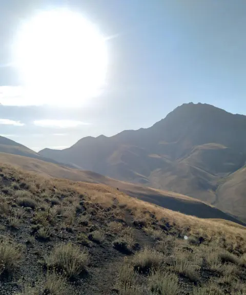
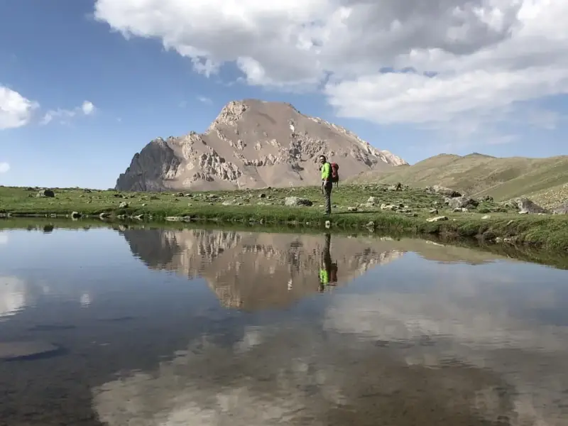
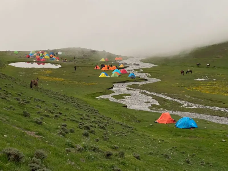
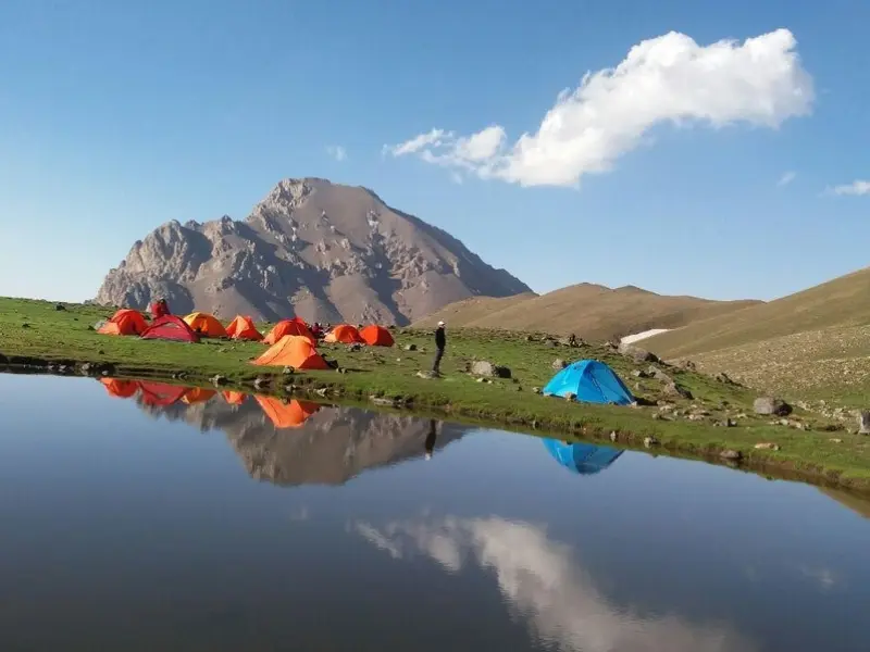
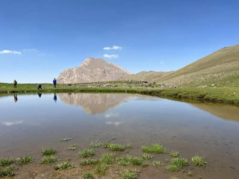
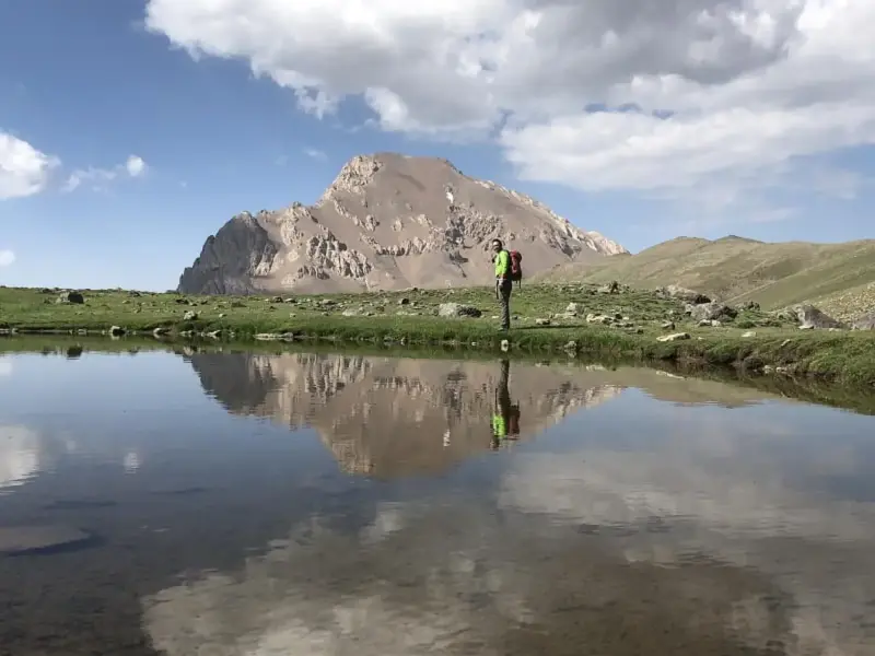
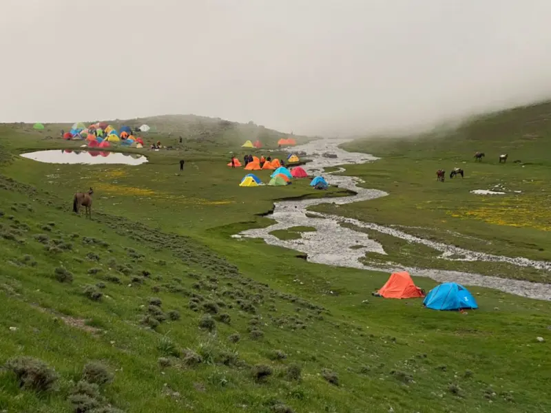
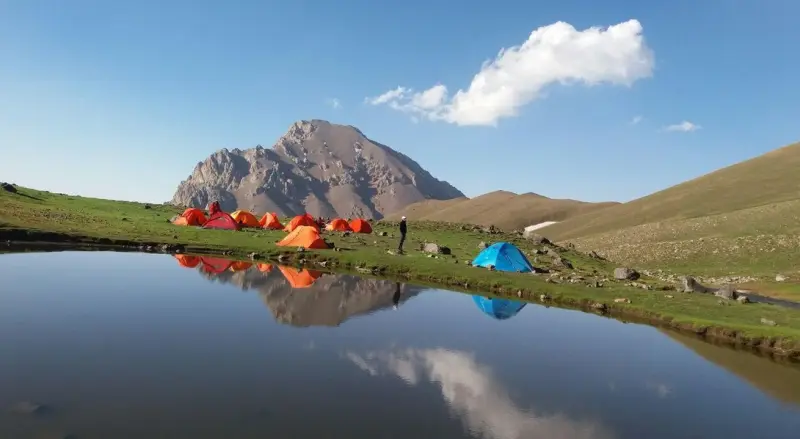
Kamankuh Pond is located north of the Yakhchal, Sarmahu and Kamankuh peaks and of the Vangeh Rud Protected Valley. At the foot of the huge snowfields of these peaks lies a relatively flat area with a hollow in its middle. As the snow of the snowfields melts in spring and summer, a lovely pond of roughly 200 square metres appears. On the northern side of the pond stands another peak, called Azadkuh, whose reflection in the water creates a delightful view. On the southern side are peaks over 4,000 metres high, including Yakhchal, Sarmahu and Kamankuh. Quite often, thick fog drifts from the Nesen, Nahiyeh and Kalak valleys up toward Kamankuh Pond, painting a mesmerizing scene. The surroundings of the lake are covered with lush pastures, wildflowers such as anemones and wild irises, and forest trees such as beech, oak and maple. The area is home to wild animals such as the brown bear, leopard, wild boar, red deer and wild goat, as well as birds such as the partridge, eagle and woodpecker. The best time to visit is spring and summer, because the weather is mild, the vegetation is lush, and conditions are good for mountaineering.
To reach Kamankuh Pond, leave the village of Varangeh Rud to the northeast along the river. After a short walk along the valley trail, you reach a bridge over the river. After this bridge, the trail continues along the northern bank of the river. Past the river bridge, the Varangeh Rud valley has its first branch heading north. After passing the first valley to the north, you reach the second valley. Following the trail north, at the end of the valley turn east to reach the Sutak plain. A park rangers' camp is located on this plain. Then, as you gain height toward the northeast, you will see the Sutak pass. Take the trail on the right and climb Kuchak Sutak peak, then continue east along a gentle slope. After a short walk, you will arrive at the flat area on the northern face of the Sarmahu, Kamankuh and Yakhchal peaks. This is where you will see Kamankuh Pond.
Written by ستایش عرب Last updated
Activities
What you can do here, and what it takes
-
Walking
مسیر دسترسی به دریاچه از طریق پیادهروی و کوهپیمایی امکانپذیر است.
-
Mountaineering
از کفش کوهنوردی استفاده کنید.
-
Fishing
در برخی فصول، ماهیگیری در دریاچه امکانپذیر است.
Specifications
Introduction of the location and specifications of Kamankuh Lake
Location:
Mazandaran, Chalus
Coordinates:
36.13552657, 51.48279193
Open in maps
Height above mean sea:
3908 meter
Land Form:
Mountainous, Mountain
Floras:
Semi-humid mountain climate
Faunas:
Presence of Predatory Animals, Presence of Herbivorous Animals, Presence of Allergenic Insects
Transports:
Private car, Walking, Minibus, Bus
Tourist Attractions in Chalus
Attractions that are nearby

Sekkeno Peak
Province Alborz
- Mountaineering
- Walking
The Jewel of the Harzeh-Kuh Ridge in the Central Alborz
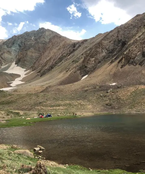
Khalno Lake
Province Tehran
- Walking
- Swimming
- Mountaineering
The Jewel of the Central Alborz Mountains
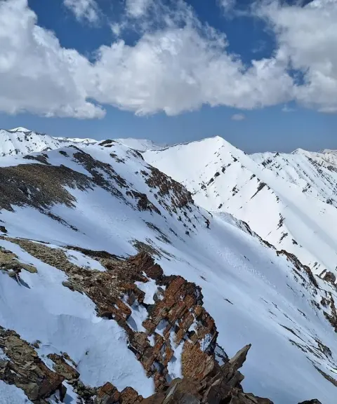
Rostam Chal Peak
Province Mazandaran
- Mountaineering
Climbing the Main Ridge Highway of the Central Alborz
Related tags:
Unfortunately, no comments have been registered.