
 Mountain
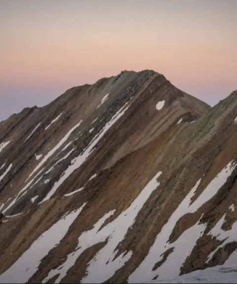
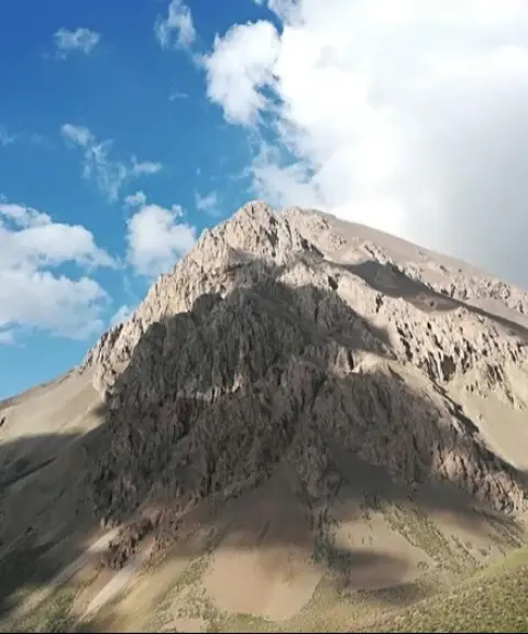
Rostam Chal Peak
Climbing the Main Ridge Highway of the Central Alborz
- Mountain
- Mazandaran, Nur
- Altitude 4,080 m
- Ability level Advanced
- Routes 1 recorded route
Ability level:
Advanced
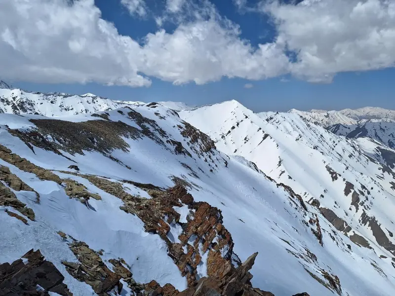
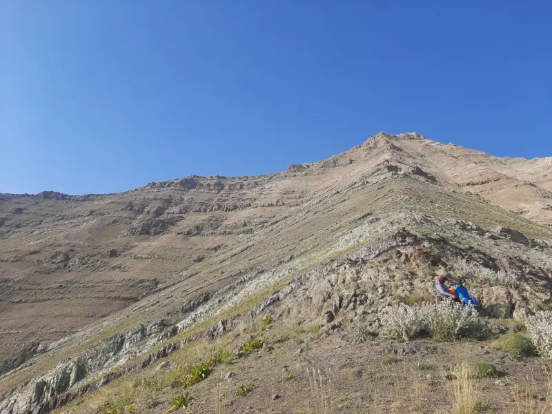
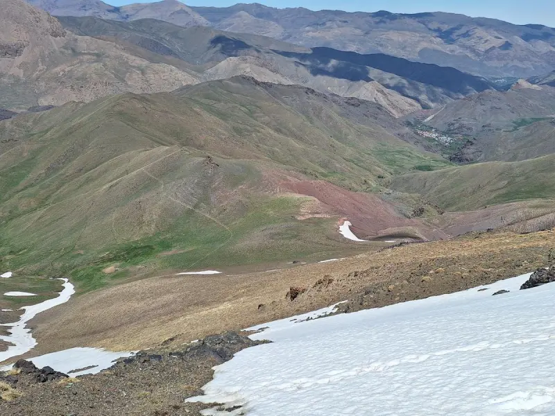
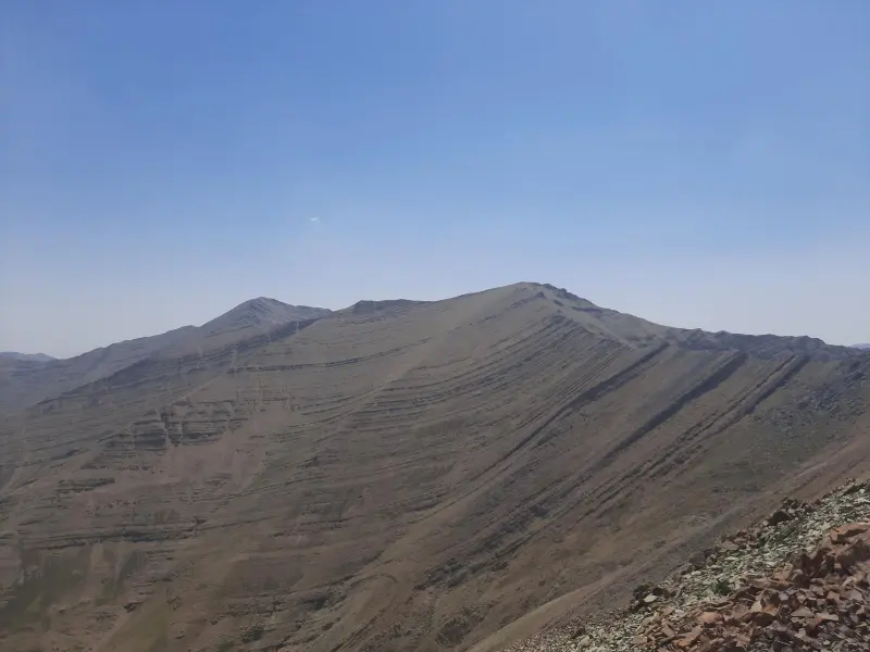
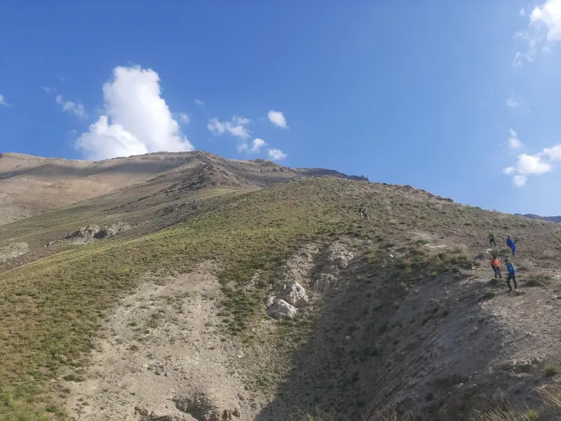
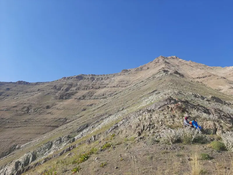
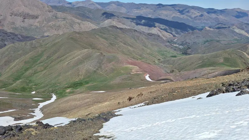
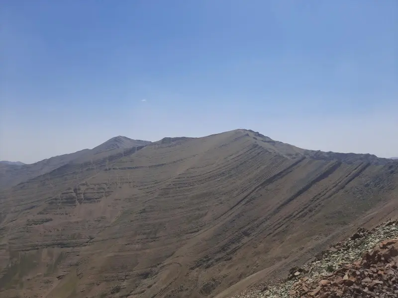
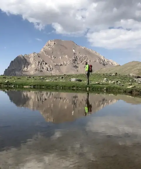
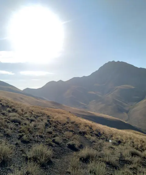
Rostam Chal Peak is one of the most prominent and dramatic summits of the Central Alborz range. It lies in Baladeh District, Nur County, Mazandaran Province, Iran, along the ridgeline that links the region's major peaks. The peak stands near the village of Nahiyeh and is known as the last northern high point of the main ridgeline. Its position on the slopes of the Alborz offers a mountain setting with deep valley views and rugged, hard-to-cross spurs.
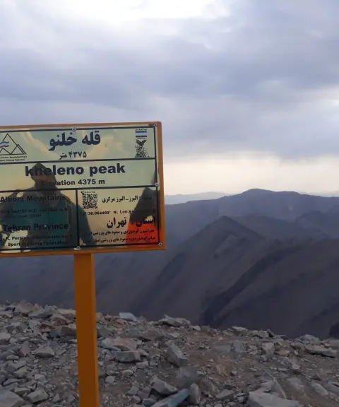
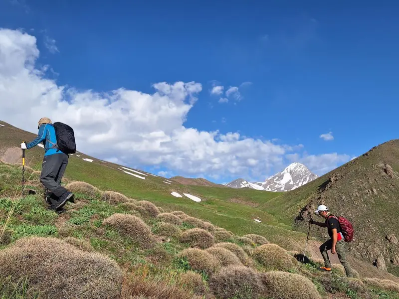
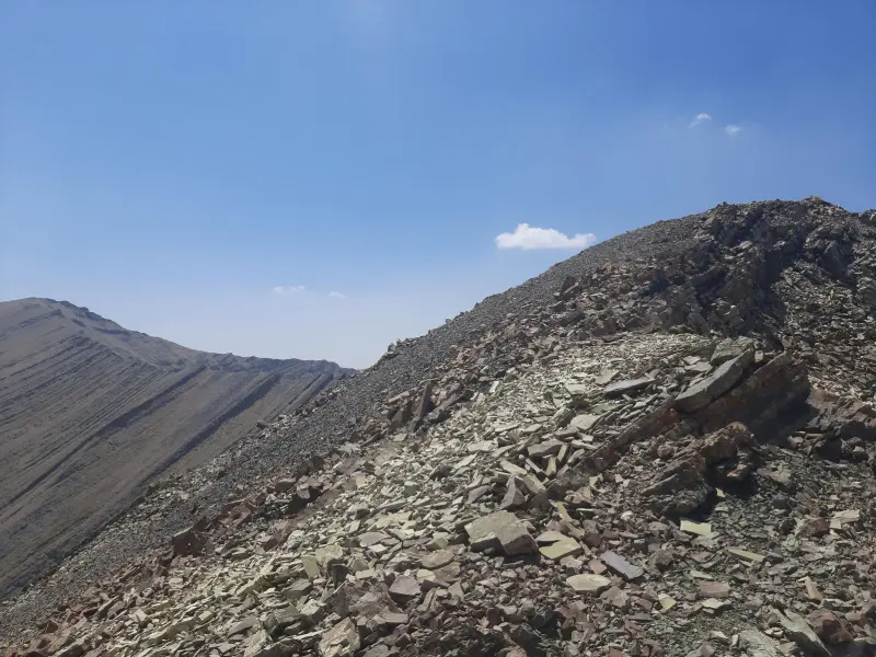
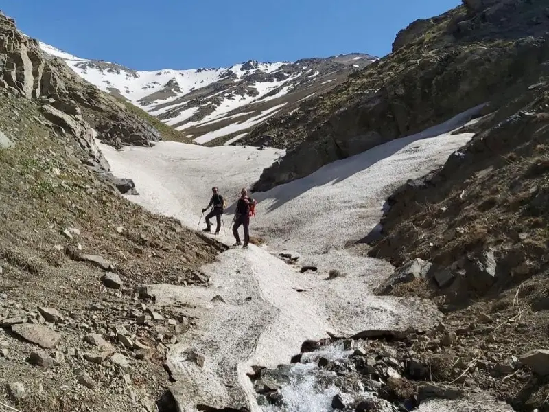
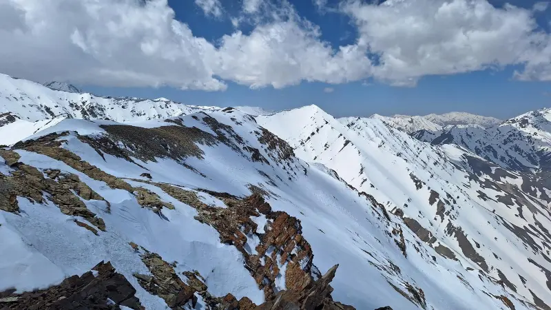
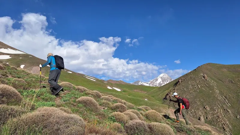
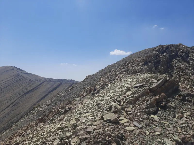
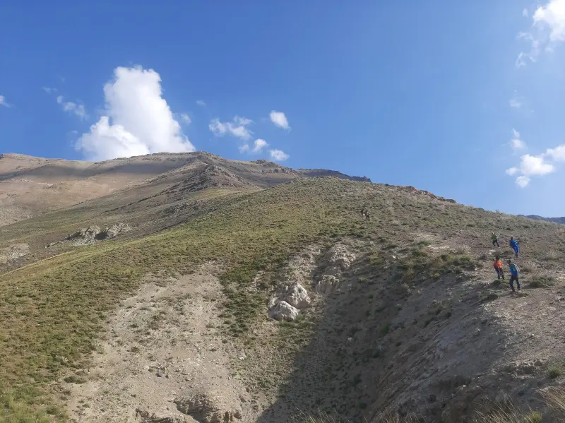
Rostam Chal Peak is part of a popular set of climbing routes in the Alborz and is especially appealing to experienced climbers who prefer longer, more technical ridge climbs. The usual routes begin at Nahiyeh village, and after crossing steep, rocky spurs, climbers reach the summit. Along the way there are wide views of the surrounding peaks, such as Khalano, Palon Gardan, Narges and other parts of the Central Alborz, which together give an immersive experience of the mountain environment.
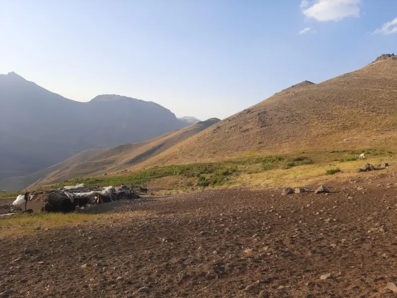
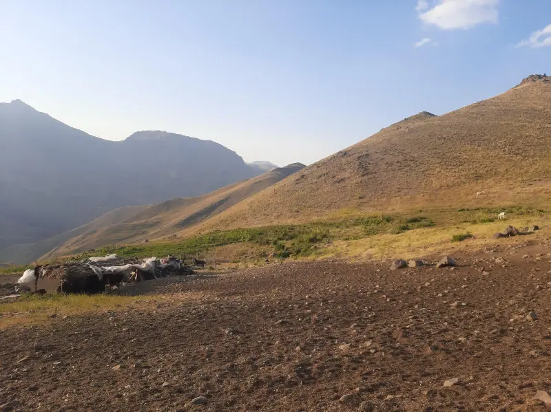
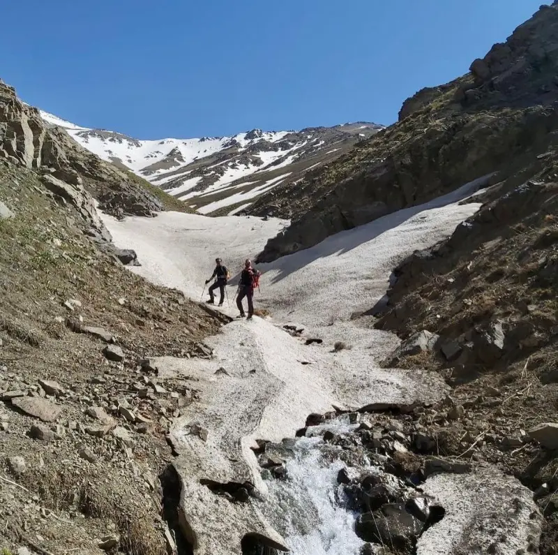
To reach Rostam Chal Peak, travellers usually head from Tehran or other northern parts of the country toward the Chalus road, then turn onto the side road leading to Nahiyeh village. The village serves as the starting base and campsite, and from there a footpath continues toward the main spurs. The best time to climb this peak is summer (Tir to Shahrivar), when the weather is more favourable and the routes are drier. In winter and spring, however, the climb can be much harder and more dangerous, especially because of avalanche-prone conditions on the northern sections of the spurs. Climbers should follow the principles of responsible nature tourism, carry suitable equipment and stay on the designated routes to ensure their safety and protect the mountain environment.
Written by ستایش عرب Last updated
Activities
What you can do here, and what it takes
-
Mountaineering
مسیرهای پاکوب از روستای ناحیه تا قله رستمچال برای کوهنوردان حرفهای مناسب است.
Specifications
Introduction of the location and specifications of Rostam Chal Peak
Location:
Mazandaran, Nur
Coordinates:
36.10849619, 51.58887863
Open in maps
Height above mean sea:
4080 meter
Floras:
Semi-humid mountain climate
Faunas:
Presence of Predatory Animals, Presence of Herbivorous Animals
Transports:
Private car, Walking, Minibus, Bus
Tourist Attractions in Nur
Attractions that are nearby
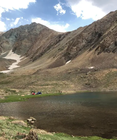

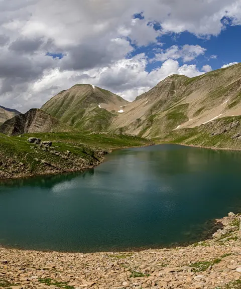
Khalno Lake
Province Tehran
- Walking
- Swimming
- Mountaineering
The Jewel of the Central Alborz Mountains
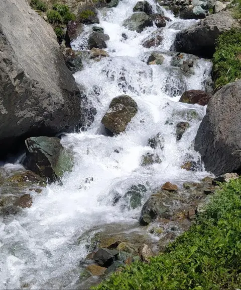

Lalan Waterfall
Province Tehran
- Walking
A pristine mountain attraction in the heart of Tehran's nature
Unfortunately, no comments have been registered.