
 Mountain
- Ability level Intermediate
- Routes 1 recorded route
Ability level:
Intermediate
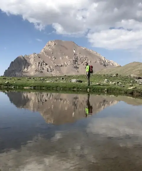
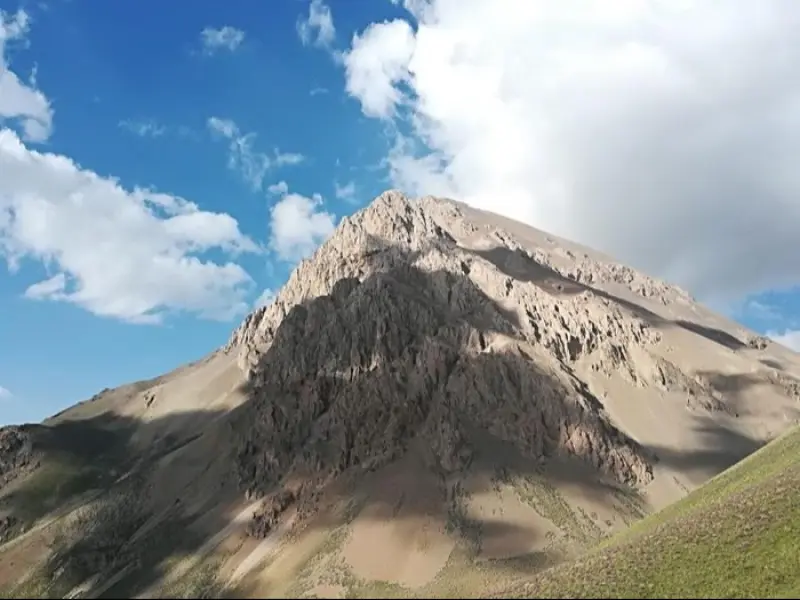
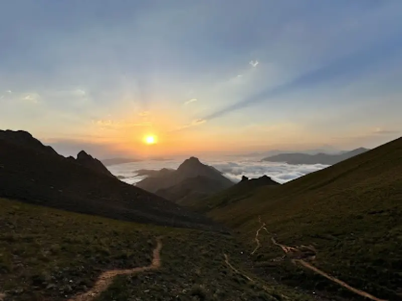
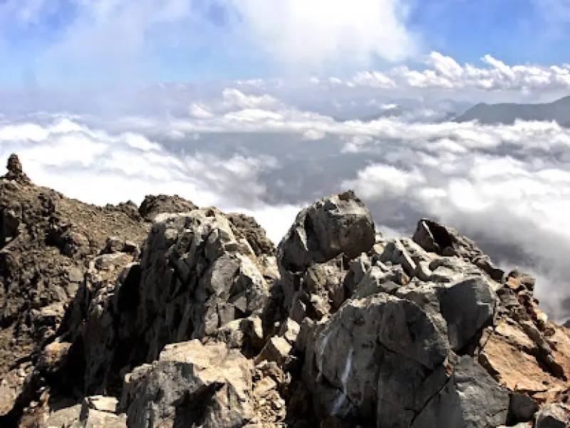
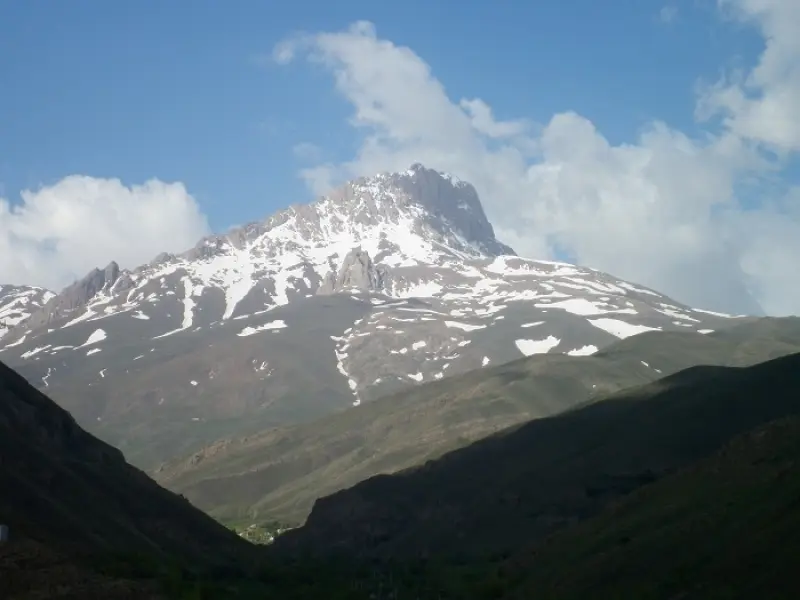
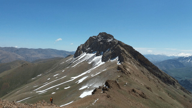
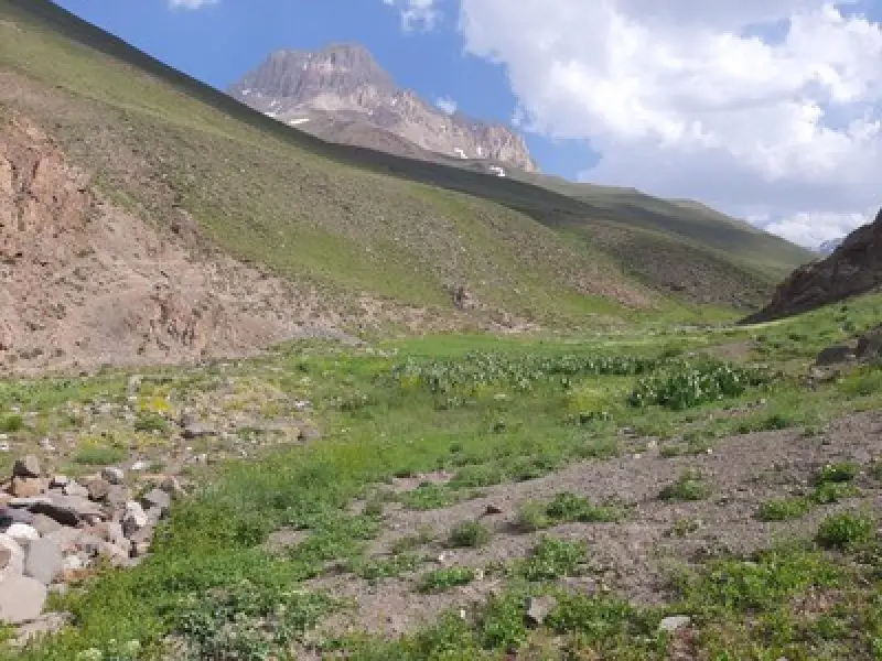
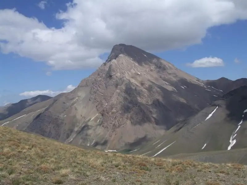
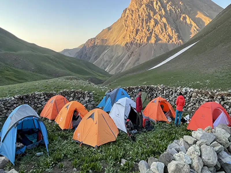
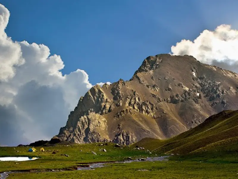
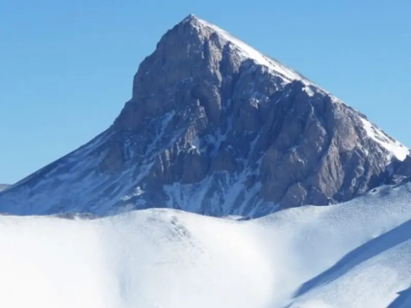
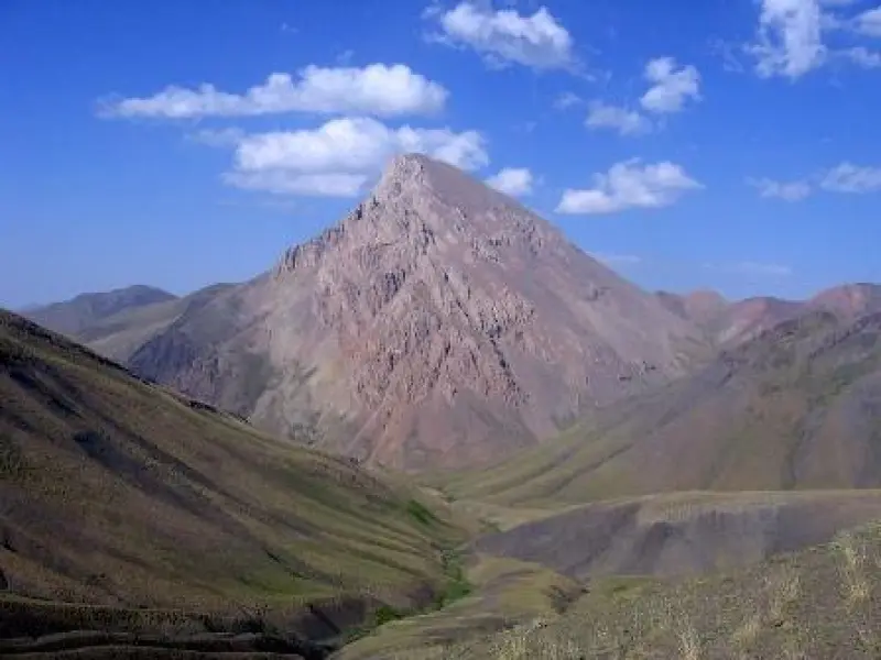
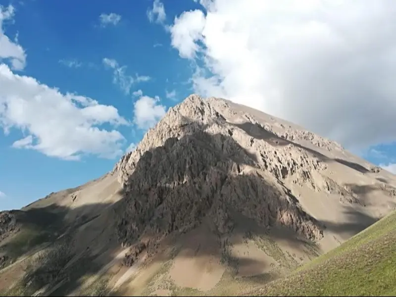
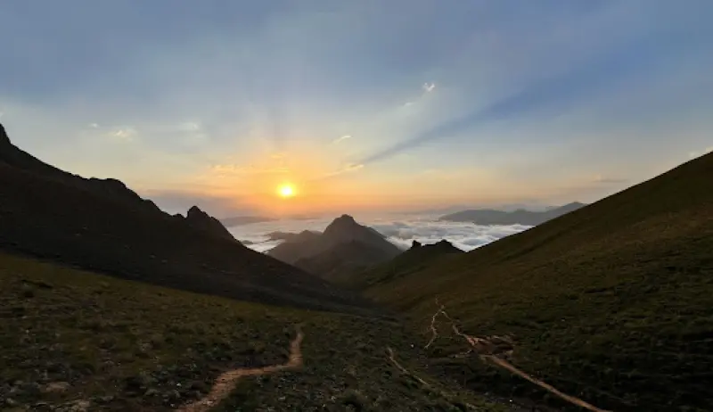
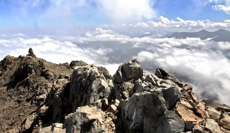
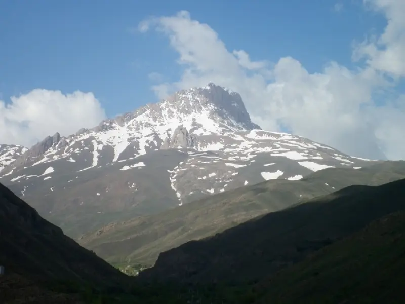
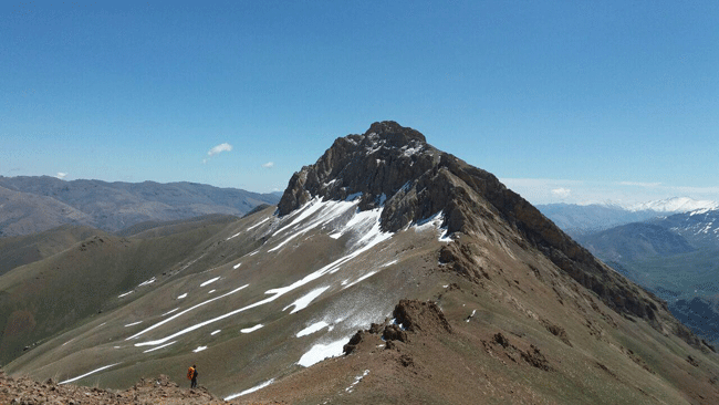
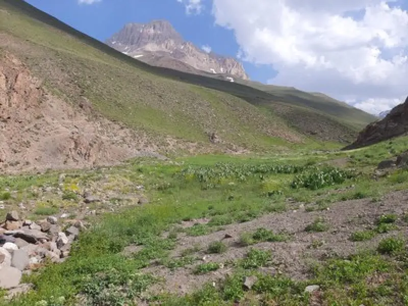
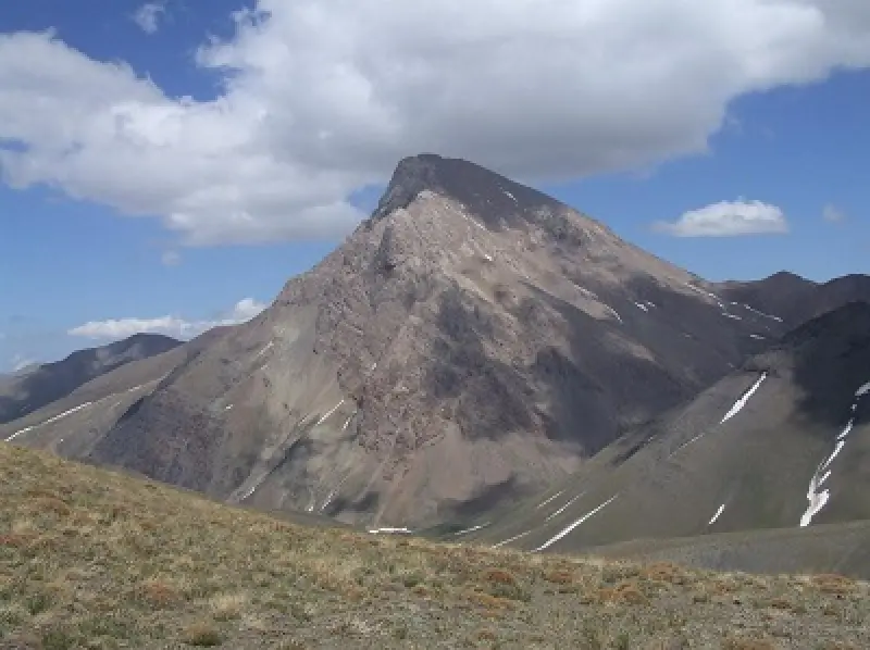
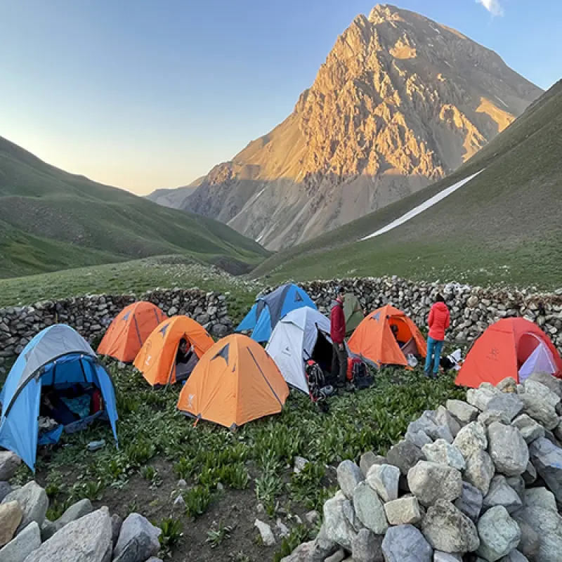
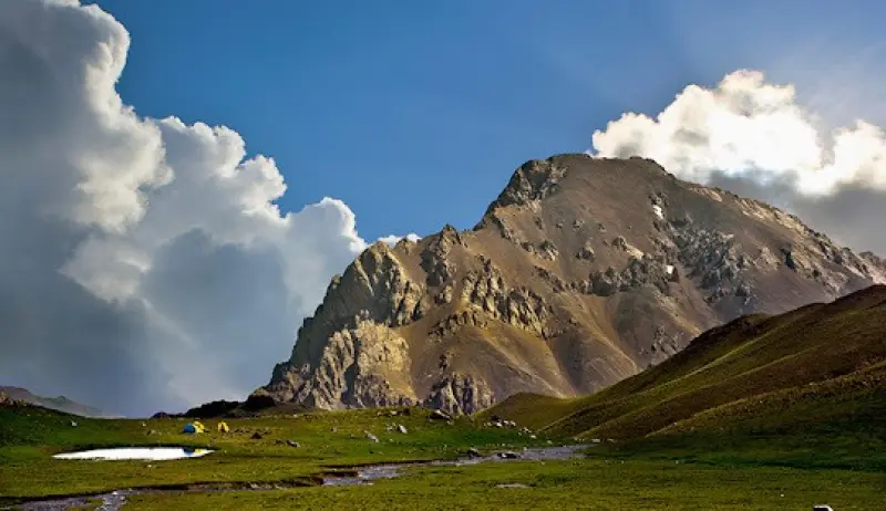
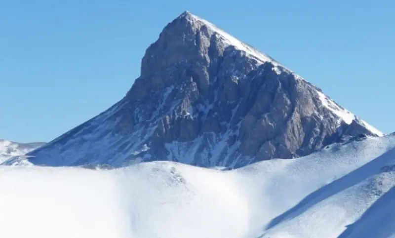
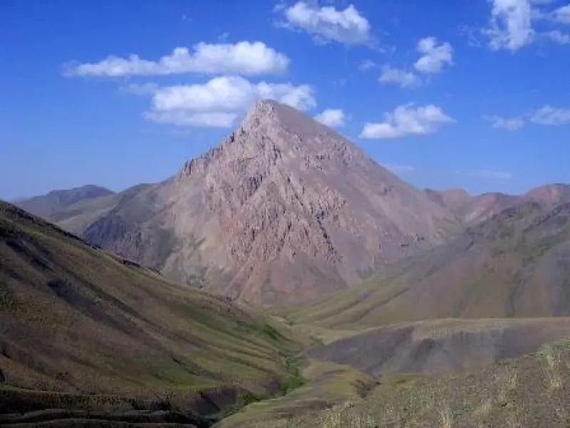
Azadkuh is one of the highest peaks in the Central Alborz range and in Mazandaran Province. The peak stands alone, not connected to other heights, and leans toward the north with a distinctive curve. For this reason, local people have nicknamed it the "Crooked-Neck Prince", a reference to its appearance. Thanks to its unique beauty and unspoiled nature, including natural glaciers, scenic landscapes, mountain lakes and diverse vegetation, Azadkuh holds a special place among climbers and nature lovers. Some climbers have also given this mountain the nickname "the Man of Alborz".
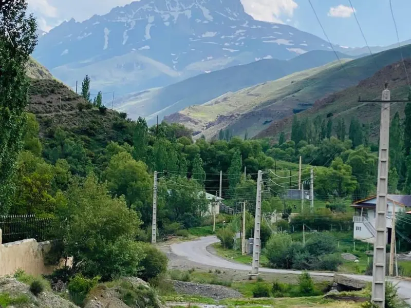
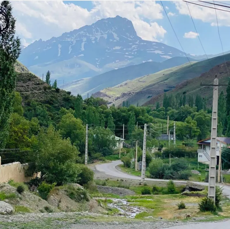
There are four different routes to the summit, and the closest one starts from the village of Kalak-e Bala. The summit of Azadkuh is connected to the other peaks of the area only by its southern ridge. The usual climbing routes up Azadkuh are not technically challenging, and in terms of difficulty the peak can generally be compared to Tochal. Because most routes involve no technical difficulty, the peak is suitable for climbers of all experience levels.
Because of its great height and geographical location, Azadkuh has a mountain climate with sharp temperature swings and changeable weather. In summer, temperatures in the area may rise above 30 degrees Celsius, while in winter they fall below zero, and snow and frost are common. Although Azadkuh is not technically difficult, its height and particular setting make it a popular destination for climbers and nature enthusiasts.
Written by زهرا لنگری Last updated
Activities
What you can do here, and what it takes
-
Walking
کفشهای مقاوم، ضد آب و با زیره مناسب برای مسیرهای سنگلاخی و برفی ضروری هستند.
-
Mountaineering
تجهیزات لازم کوهنوردی را به همراه داشته باشید.
Specifications
Introduction of the location and specifications of Azadkuh
Location:
Mazandaran, Chalus
Coordinates:
36.16913040, 51.50287628
Open in maps
Height above mean sea:
4355 meter
Land Form:
Mountainous, Mountain
Faunas:
Presence of Predatory Animals, Presence of Allergenic Insects, Presence of Herbivorous Animals
Transports:
Private car, Walking, Only with technical climbing equipment
Tourist Attractions in Mazandaran
Attractions that are nearby

Rostam Chal Peak
Province Mazandaran
- Mountaineering
Climbing the Main Ridge Highway of the Central Alborz
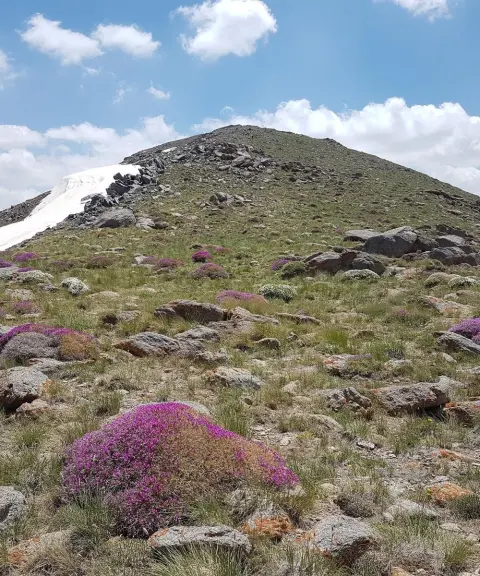
Sekkeno Peak
Province Alborz
- Mountaineering
- Walking
The Jewel of the Harzeh-Kuh Ridge in the Central Alborz
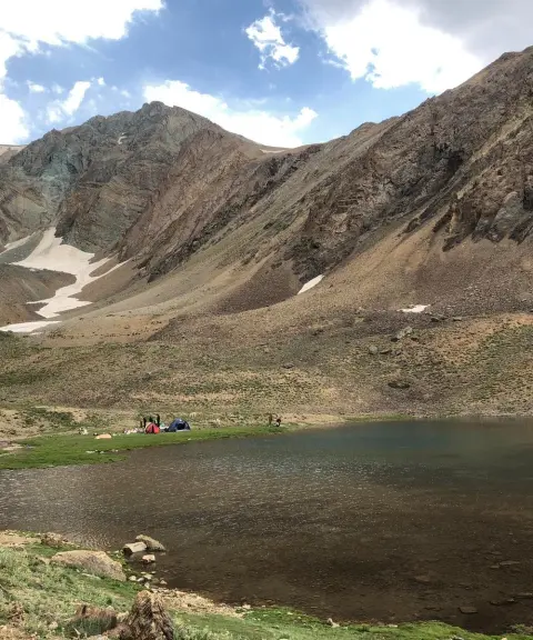
Khalno Lake
Province Tehran
- Walking
- Swimming
- Mountaineering
The Jewel of the Central Alborz Mountains
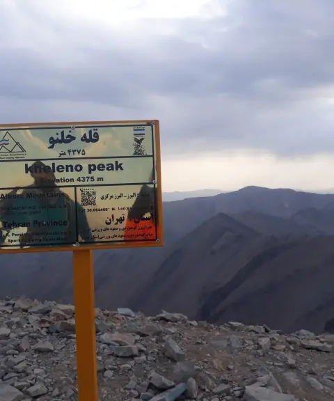
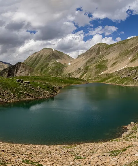
Related tags:
Unfortunately, no comments have been registered.