
 Mountain
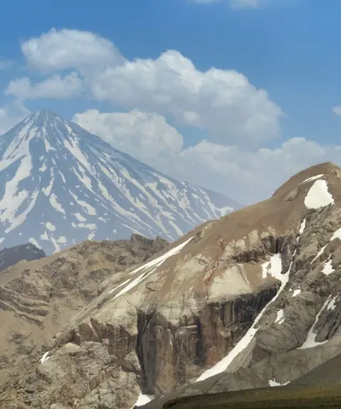
Do Khaharan Peak
Province Mazandaran
- Mountaineering
- Walking
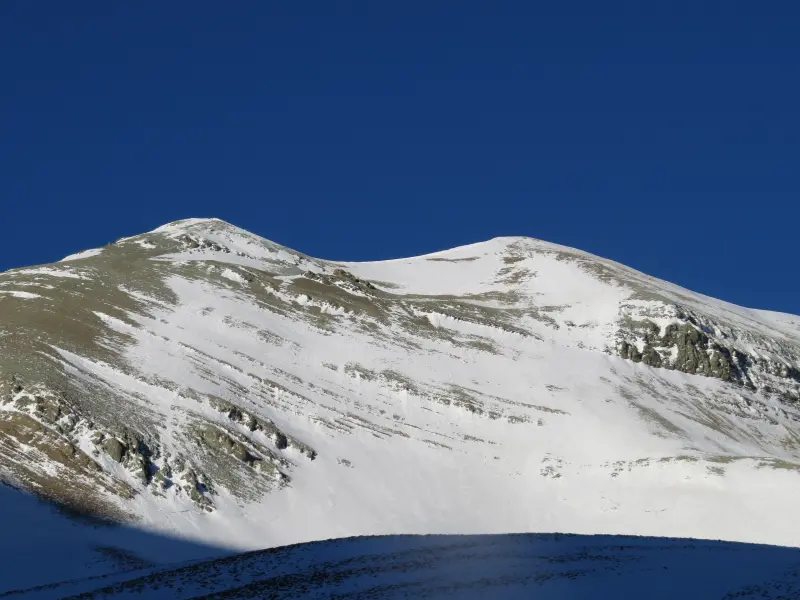
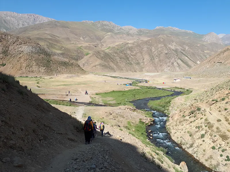
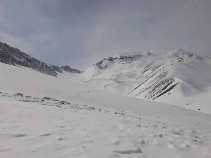
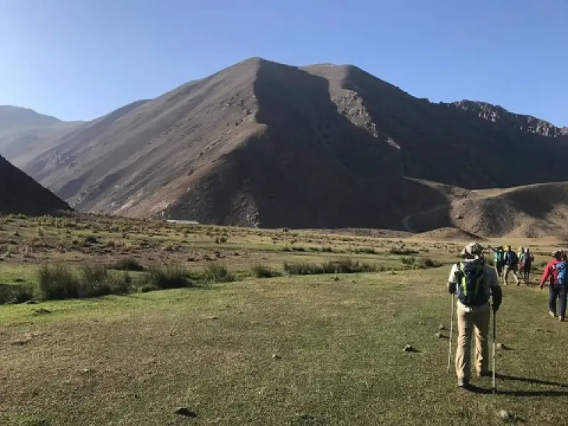
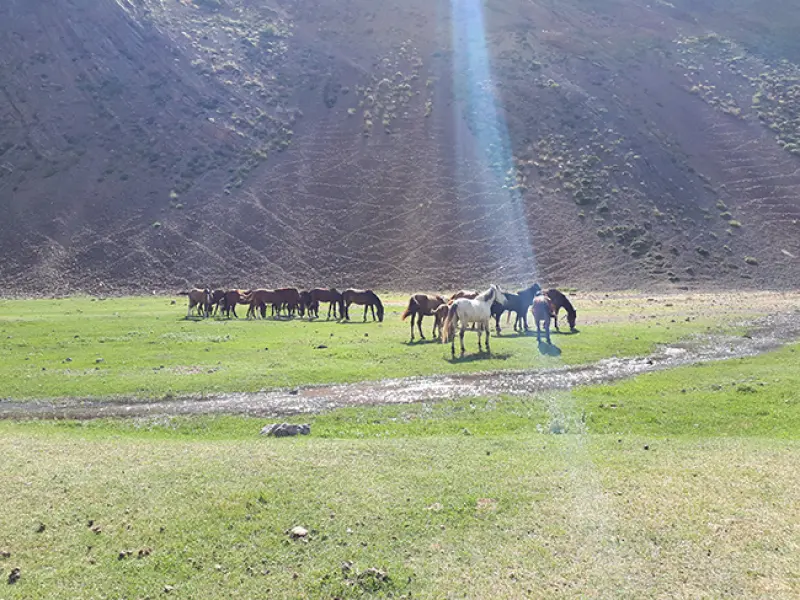
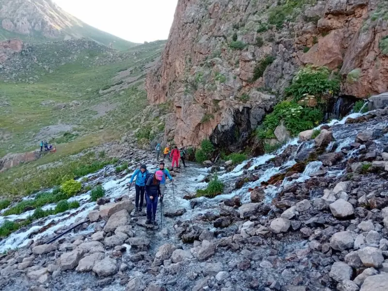
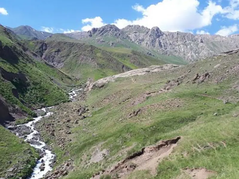
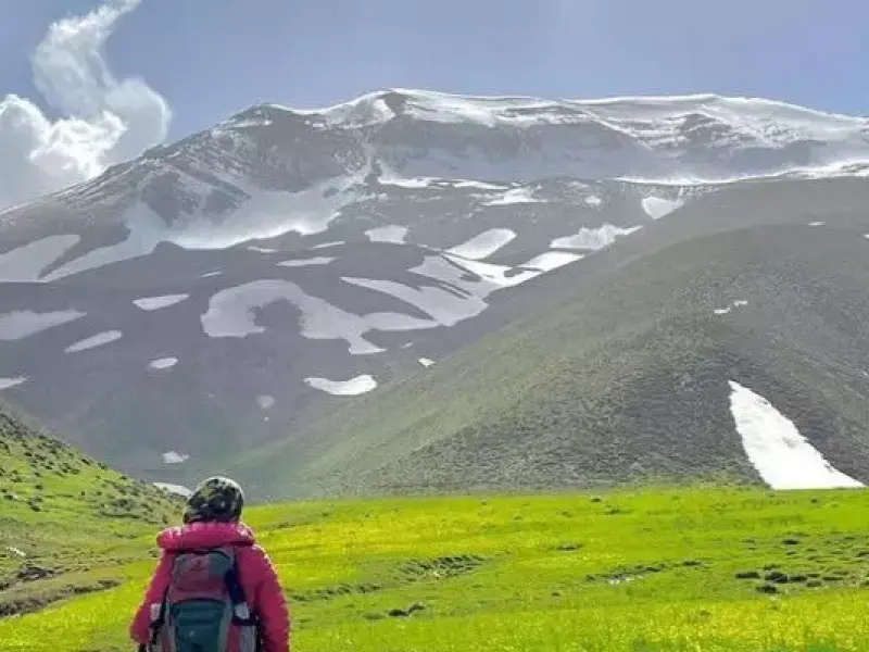
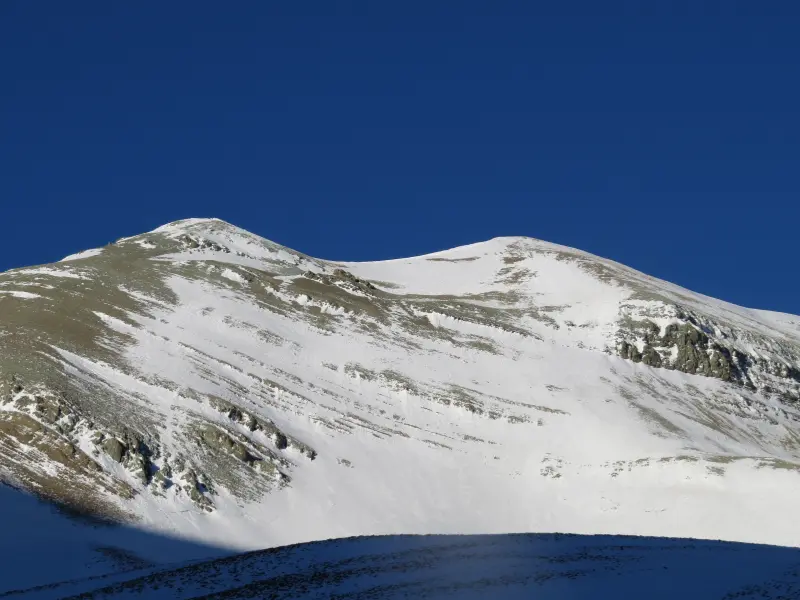
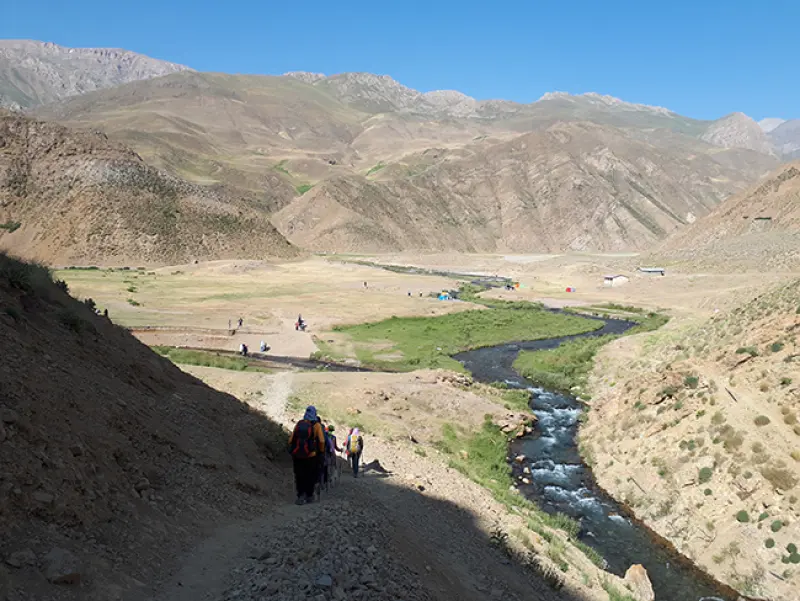
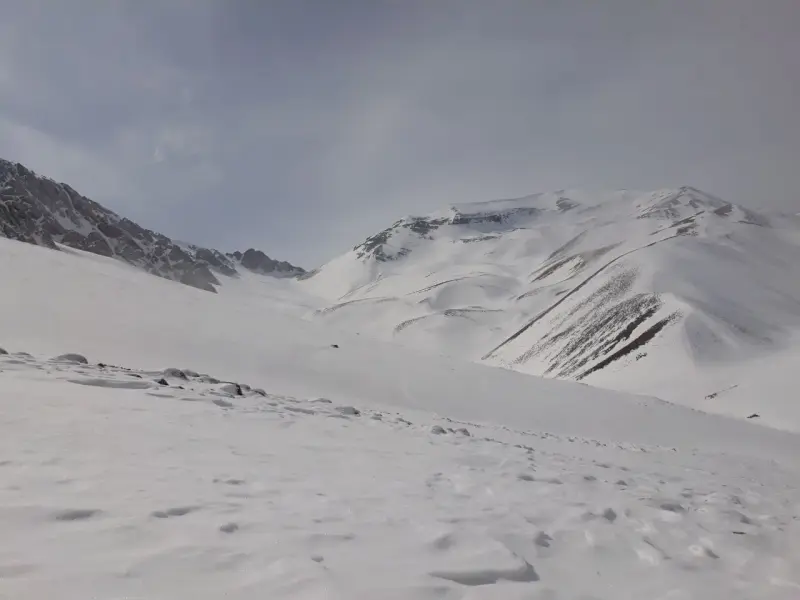
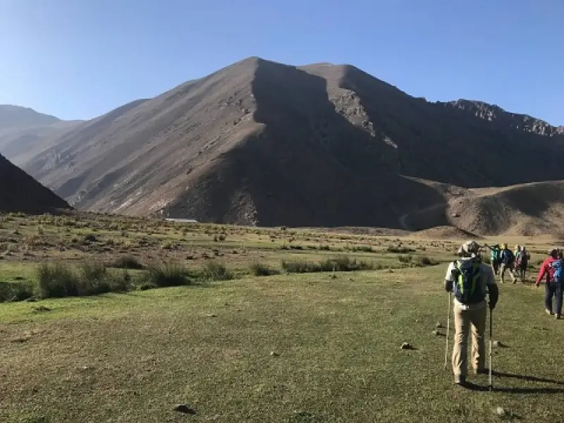
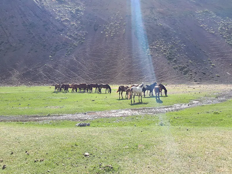
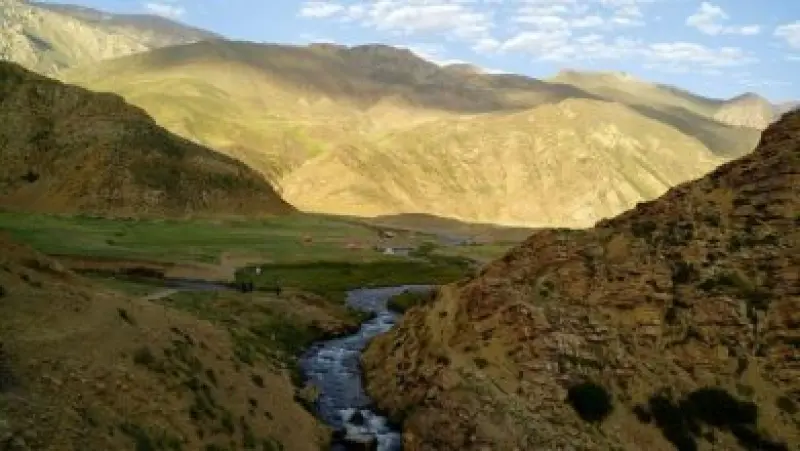
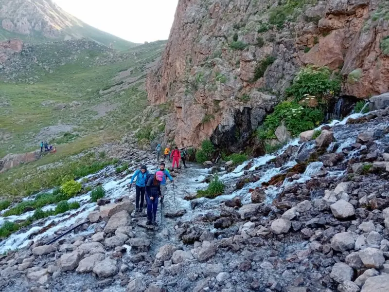
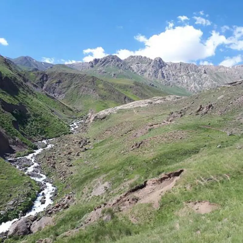
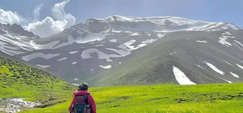
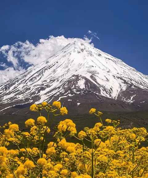
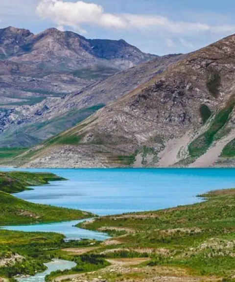
Kahoon Peak, also known as Ka'on or Kahun, is one of the beautiful peaks of the Alborz mountain range. Although the peak has a great deal to offer, it is climbed less often than other peaks in the area because of its proximity to Damavand. To reach the area, take the Haraz Road toward Amol and drive about 40 kilometers from Amol to the Belde turnaround. Then, a few kilometers further on, turn right at the exit toward Namarestaq and Namar village.
The name of the peak comes from the rocks at its top, and it is explained in two ways. The first refers to the black rocks at the top of the peak, which are called "kahu" in the Mazandarani dialect. The second refers to the amber-colored rocks visible on the peak's walls. After about an hour's walk, you will reach Namar village. In the village, ask the locals how to get to Daryuk Plain. They will usually point you to a mule track that leads to Daryuk Plain after half an hour of walking.
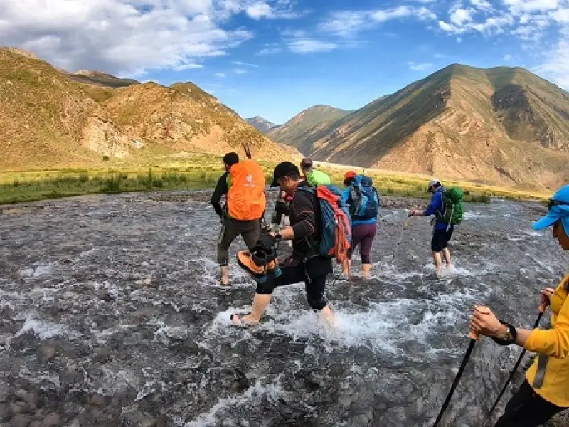
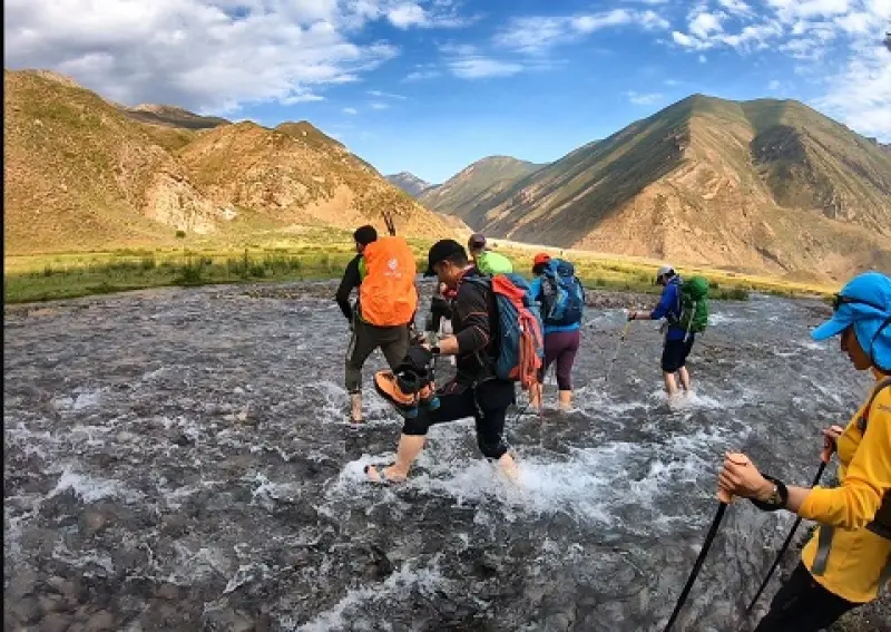
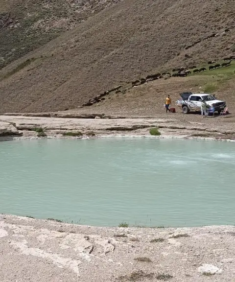
At Daryuk Plain, to reach Lara Plain you must cross a river with cold water, and unfortunately there is no bridge across it. You will therefore need to take off your shoes and cross the river carefully. From there it is about an hour and a half's walk to Lara Plain. At Lara Plain you will reach the Astaneh Kur spring, whose water is very cold and light and can be considered drinkable. From Lara Plain to the summit of Kahoon you need about four hours, and the return to Lara Plain will take about two and a half hours.
Written by زهرا لنگری Last updated
What you can do here, and what it takes
تجهیزات کوهنوردی همراه داشته باشید.
کفش مناسب پیادهروی و کوهنوردی از وسایل ضروری است.
Province Mazandaran
Province Mazandaran
Province Mazandaran
Province Mazandaran
Province Mazandaran


Unfortunately, no comments have been registered.