
 Mountain
- Ability level Advanced
- Routes 4 recorded routes
Rate:
Ability level:
Advanced
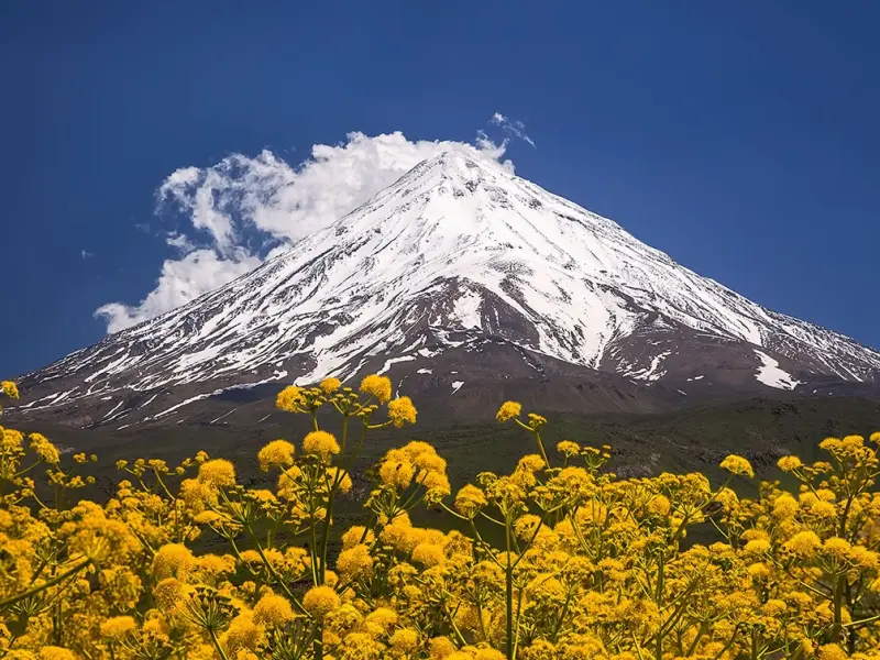
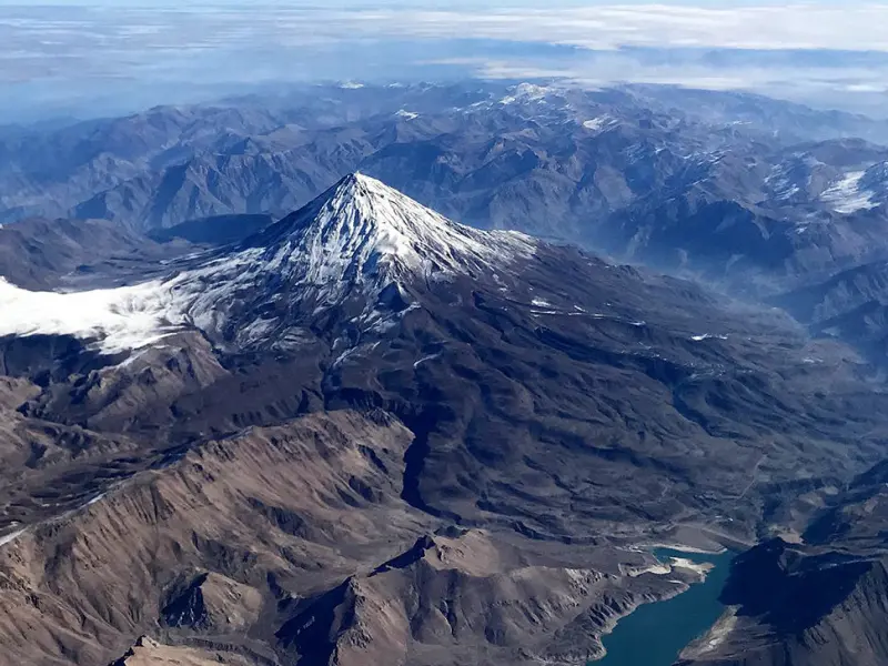
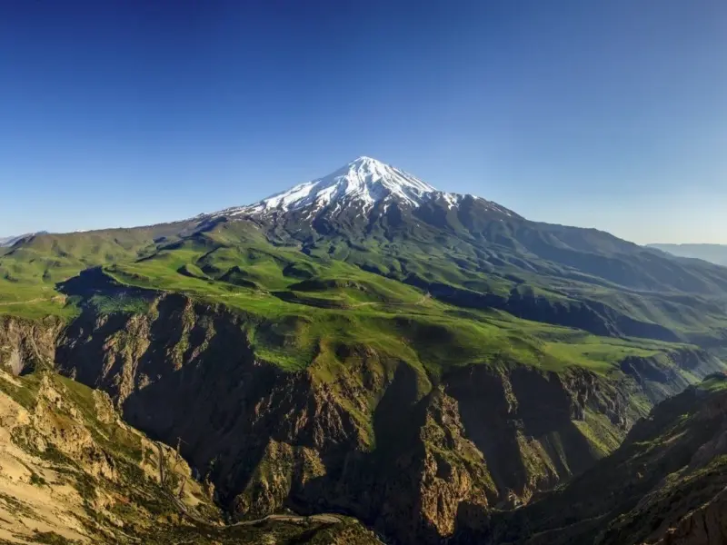
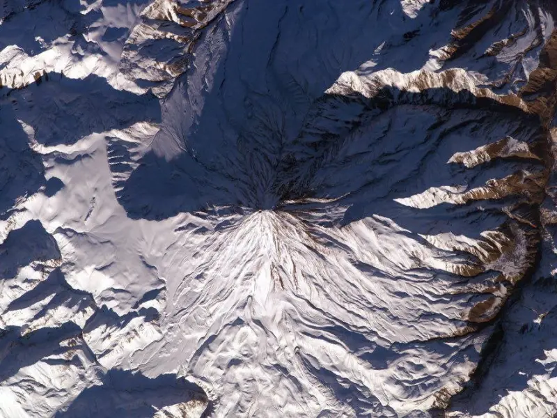
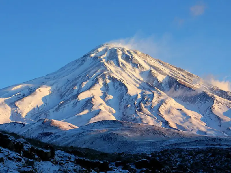
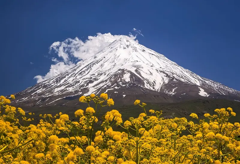
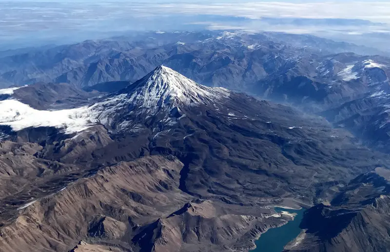
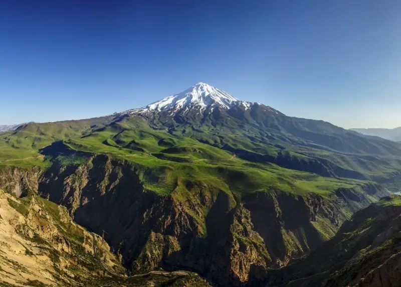
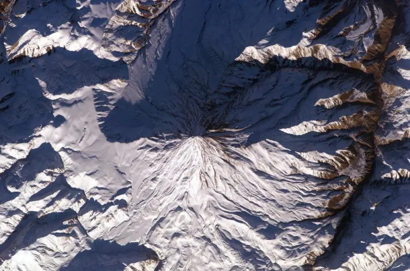
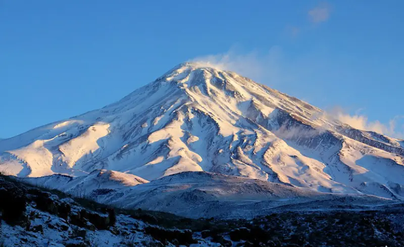
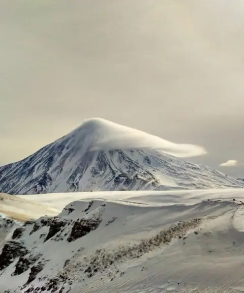
Mount Damavand, the highest mountain in Iran and in Western Asia, and also the highest volcano in Asia and the Middle East, is located in northern Iran, in Mazandaran Province. It rises in the Alborz mountain range, south of the Caspian Sea. Damavand is known as the third-highest volcano in the Eastern Hemisphere (after Mount Kilimanjaro and Mount Elbrus). The name Damavand is derived from two parts: "dam" (meaning steam or smoke) and "avand" (meaning having), that is, having steam and smoke, a reference to its volcanic nature.
Mount Damavand lies in the Larijan district of Amol County in Mazandaran Province. On 13 Tir 1387 (3 July 2008) it was registered as the first natural monument of Iran on the National Heritage list. Since 1381 (2002) it has also been listed as a national natural monument among the four categories of protected environmental areas. Damavand is not only a symbol of Iran's grandeur in the country's literature and history, but also holds a special place in Persian legends and stories.
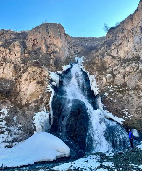
On the summit of Damavand there is a wide area where the strong smell of sulfurous gases is unpleasant to breathe. In the middle of the summit there is a crater, around which climbers usually walk. The sulfur rocks in this area have a distinctive smell, and it is best to avoid touching them. On the southern face of Damavand there is a frozen waterfall that never melts naturally; even in summer, because of daily temperature changes, this frozen waterfall forms. There are several routes to the summit of Damavand, of which the southern face is the easiest and the northern face is considered the hardest. These routes usually include a section that is travelled by pickup truck (Nissan), and mules can be used to carry loads.
Written by زهرا لنگری Last updated
Activities
What you can do here, and what it takes
-
Mountaineering
با توجه به توان بدنی حدود ۱۶ ساعت کوهنوردی در دو روز است.
Specifications
Introduction of the location and specifications of Damavand Peak
Oldness:
38,500 years
Location:
Mazandaran, Amol, Larijan
Coordinates:
35.95433921, 52.11033763
Open in maps
Height above ground:
4667 meter
Height above mean sea:
5610 meter
Land Form:
Volcanic, Volcanic Crater
Faunas:
Presence of Predatory Animals, Presence of Allergenic Insects, Presence of Herbivorous Animals
Transports:
Private car, Walking, Only with technical climbing equipment
Tourist Attractions in Mazandaran
Attractions that are nearby

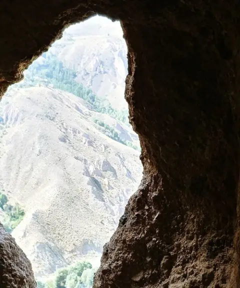

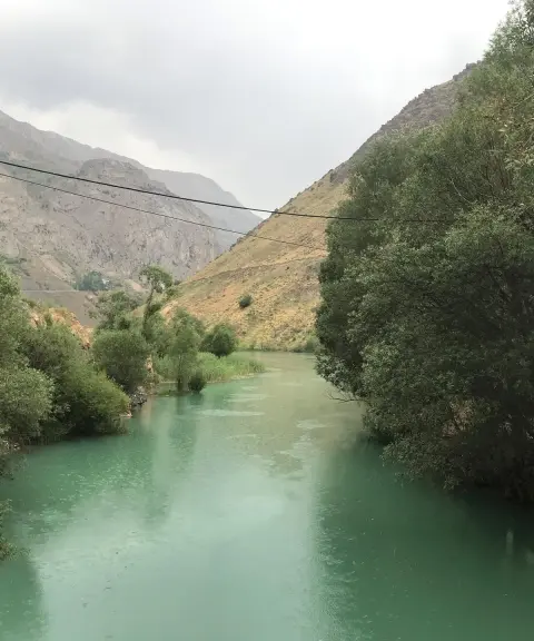

Imamzadeh Ali Lake
Province Mazandaran
- Walking
- Fishing
A tranquil expanse in the heart of the Larijan highlands
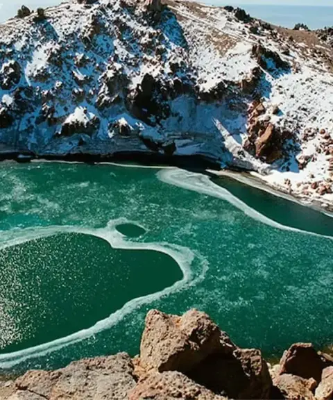
Zagh Cheshmeh
Province Mazandaran
- Walking
A natural mineral spring in the highlands along the Haraz Road
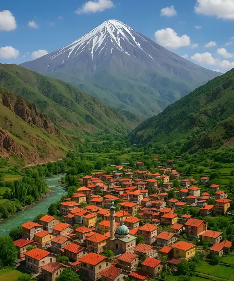

Ab Esk Village
Province Mazandaran
- Walking
- Swimming
- Mountaineering
Healing springs and mountain scenery in the heart of the Central Alborz
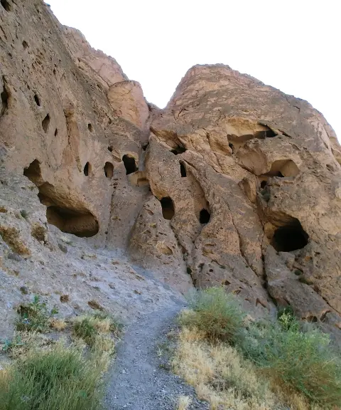
Amol Hand-Carved Caves
Province Mazandaran
- Walking
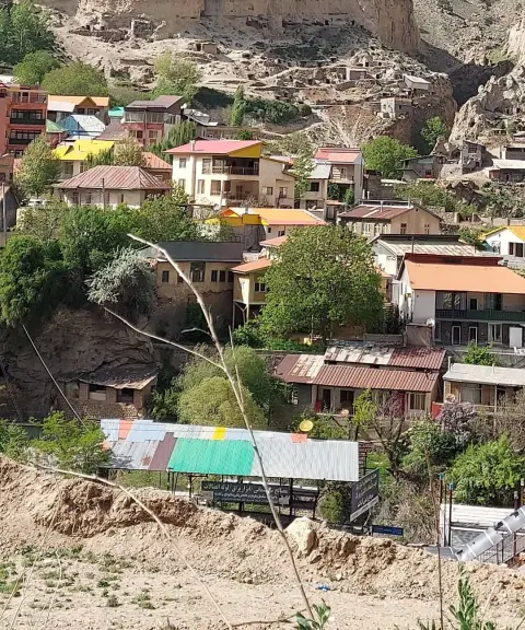
A Remarkable Heritage in the Heart of the Alborz Mountains
Taj Kuh Peak
Province Mazandaran
- Mountaineering
- Walking
A lesser-known gem of the Central Alborz range
Ira Village
Province Mazandaran
- Walking
- Mountaineering
A cool highland summer pasture on the slopes of the Central Alborz
Related tags:
User Comments
Comments of our users and fellow travelers :)

حسن قنبری
Saturday - 2025/01/25مطالب بسیار کاربردی و مفید بود. ممنون از شما
Saturday - 2025/01/25