
 Attractions
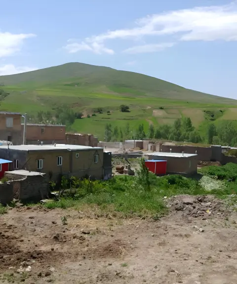
Zenab Village
Province Ardabil
- Walking
A Historic Bridge over the Qezel Ozan River
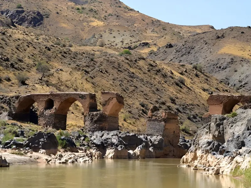
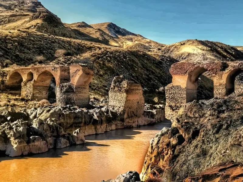
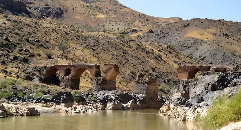
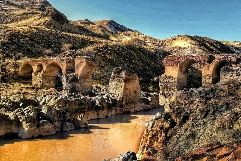
Pordelis Bridge is one of the most valuable historical monuments in northwestern Iran. It spans the Qezel Ozan River on the border between Mianeh County and Ardabil Province. Built near the village of Kahbanan, on the route linking Mianeh to Ardabil, the bridge has played an important role since ancient times in the passage of caravans, merchants and travellers. Pordelis Bridge was built on a rocky bed at the most important and narrowest section of the Qezel Ozan River, and thanks to its sturdy architecture and strategic location it was regarded as one of the most important links between the north and south of the country. Its exact age is unknown, but many researchers date it to the 3rd and 4th centuries AH. During the Safavid period the monument was also repaired or rebuilt on the orders of Shah Tahmasp I, and today it is recognised as one of Iran's national monuments.
Pordelis Bridge once had 9 spans, of which only five remain today; parts of the middle arches have collapsed over time. At roughly 94 metres long, the bridge was once the only route connecting Mianeh to Ardabil, and many travellers, political envoys and trade caravans moving between Iran, the Caucasus and Russia had no choice but to cross it. The historical importance of the structure is such that it is mentioned in several historical books, including Istakhri's "Masalik wa Mamalik". The German traveller Adam Olearius also drew an image of the bridge in the 17th century AD, showing a caravan crossing it. At one point in history, to prevent attacks by raiders, part of the bridge was demolished on the orders of Sotvat al-Mamalek, which caused serious damage to its structure. Despite this destruction, the bridge's impressive architecture and the strength of what remains still attract those interested in historical monuments.
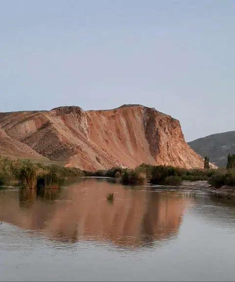
To reach Pordelis Bridge, take the Mianeh–Ardabil road, and after arriving near the village of Afshar and the Kaghazkonan area, continue along the side road leading to the bridge. Besides its historical appeal, this area has mountain scenery and beautiful views of the Qezel Ozan River, which make a visit to the bridge even more enjoyable. The best time to visit is spring and early summer, when the nature around the river is lush and the weather is more pleasant. When visiting this historic site, visitors should avoid climbing on the damaged parts of the bridge, leaving litter, or damaging the stones and historical remains, so that this valuable heritage can be preserved for future generations.
Written by زهرا لنگری Last updated
What you can do here, and what it takes
مسیرهای اطراف پل و حاشیه رودخانه برای پیادهروی سبک و تماشای مناظر طبیعی مناسب هستند.
Province Ardabil
Province Ardabil
Province Ardabil
Province Ardabil

Province East Azerbaijan


Unfortunately, no comments have been registered.