
 Seas and Lakes
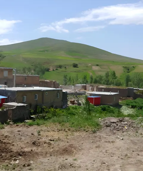

Zenab Village
Province Ardabil
- Walking
A natural attraction in the heart of the Ardabil mountains
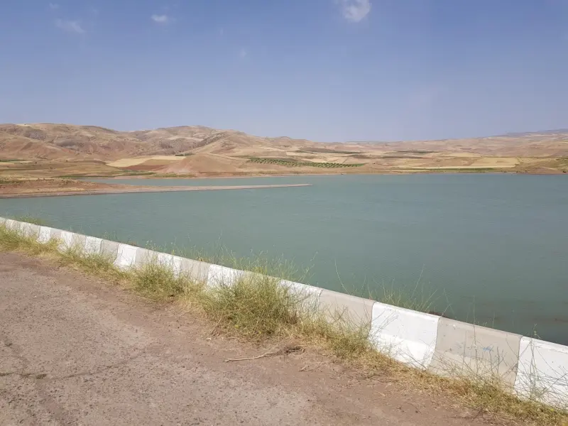
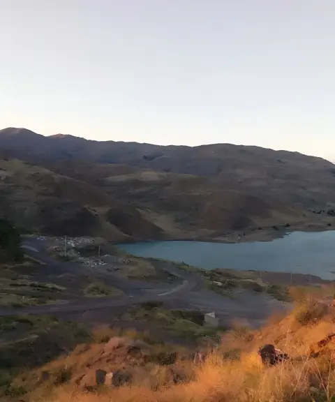
Likovan Dam Lake, also known as Band-e Likovan, lies about 25 km southeast of Kowsar County in Ardabil Province. With a storage capacity of more than 3.8 million cubic metres of water, it plays an important role in supplying agricultural water to the region. This earth-fill and rock-fill embankment dam went into operation in the 2000s (the 1380s in the Solar Hijri calendar). Although it was originally built to supply irrigation water, it has now become a popular destination for sport fishing.
The vegetation around the lake consists mainly of plants adapted to semi-arid conditions; species such as tamarisk, saxaul and clusters of milkvetch (gavan) bushes grow here. In addition, the popularity of fishing, including catches of carp, grass carp, perch and other species, points to the area's limited but important biodiversity. With its shoreline scenery and surrounding natural attractions, the area has become an appealing destination for travellers and anglers alike.
To reach Likovan Dam, drive from the town of Kowsar towards Firuz District; after about 25 km you will arrive at the dam. The best time to visit is spring and summer, when the weather is mild and the reservoir is at its highest level. Sport fishing activities, such as specialised carp and spinning tours, are also organised under the supervision of local clubs. Besides enjoying the scenery, visitors can have a memorable experience at Likovan Lake with recreational activities such as fishing and camping.
Written by ستایش عرب Last updated
What you can do here, and what it takes
مسیرهای اطراف دریاچه برای پیادهروی و گشتوگذار مناسباند.
در آب این دریاچه میتوانید آبتنی کنید.
با مجوزهای لازم، امکان ماهیگیری در دریاچه وجود دارد.
Province Ardabil

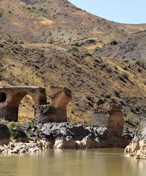
Province Ardabil
Province Ardabil


Unfortunately, no comments have been registered.