
 Mountain
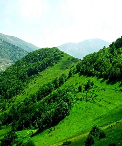

Kantal National Park
Province East Azerbaijan
- Mountaineering
- Cycling
- Walking
A mountain panorama on the border between Iran and Armenia
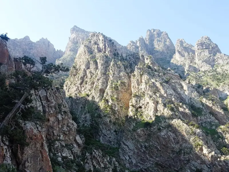
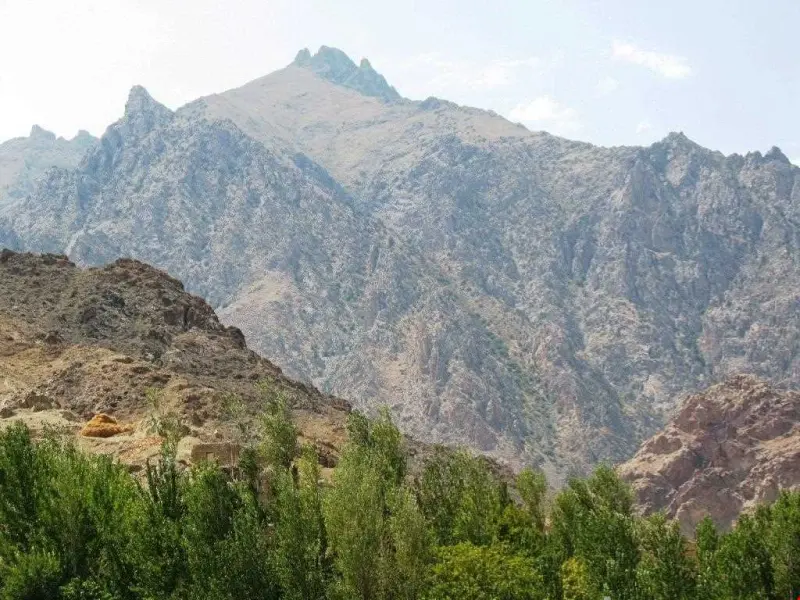
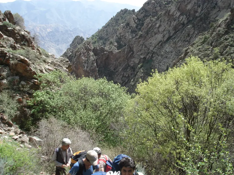
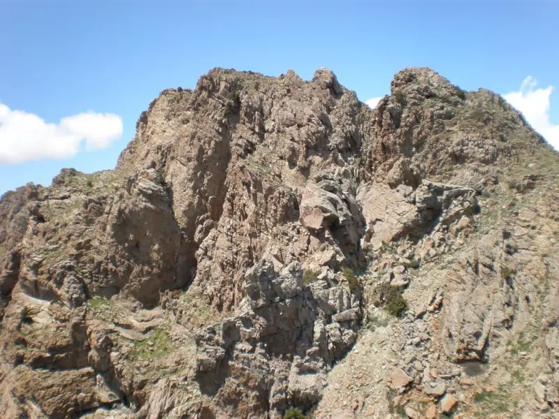
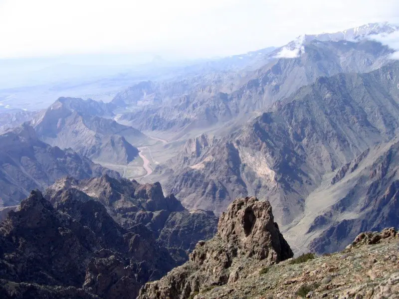
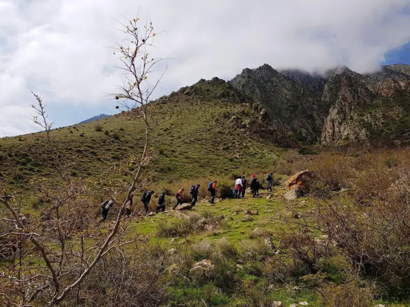
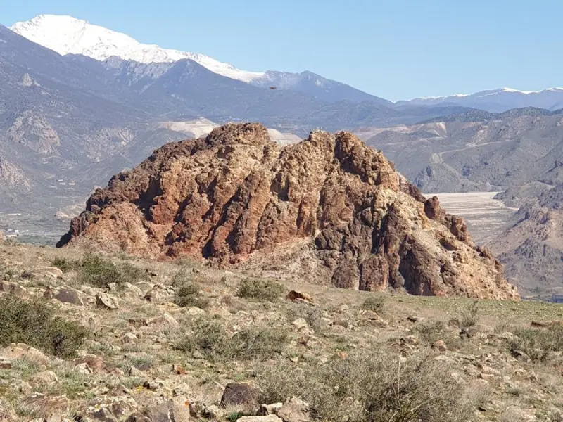
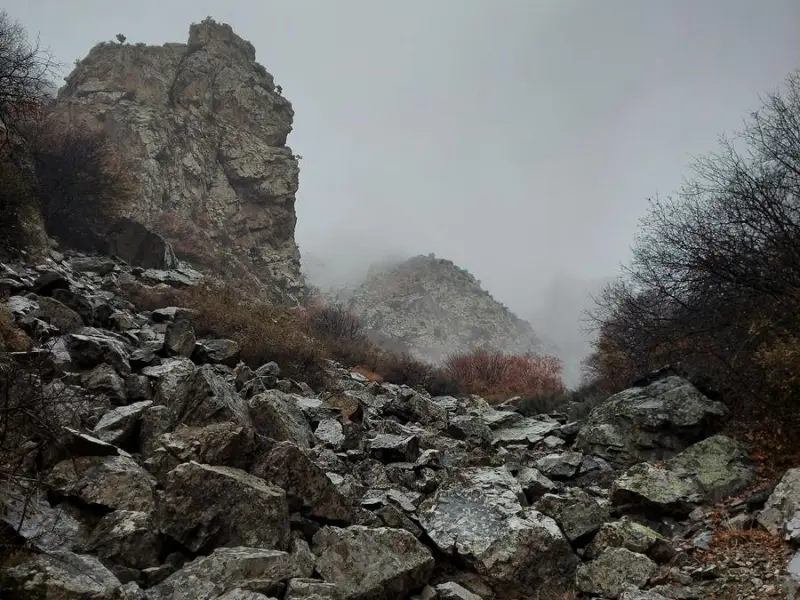
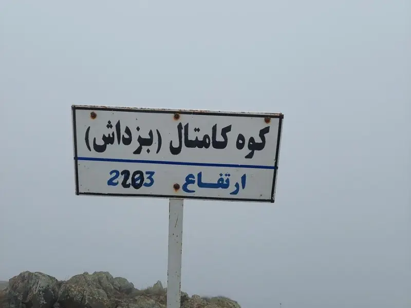
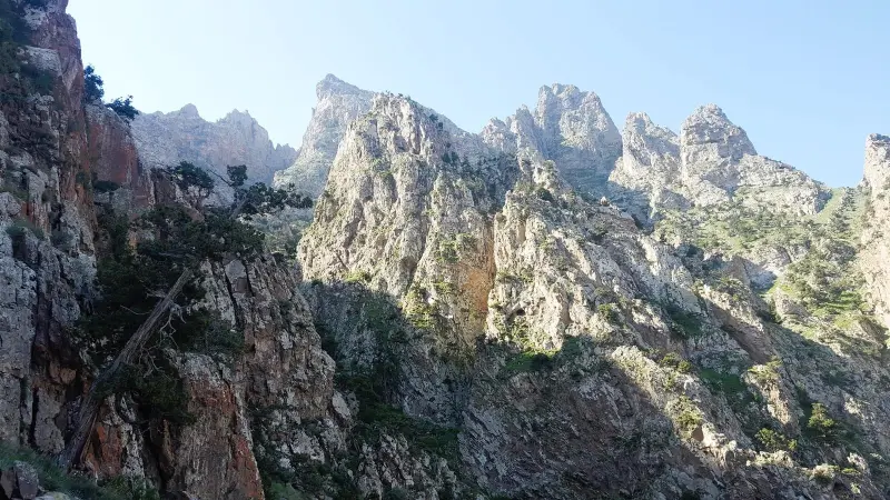
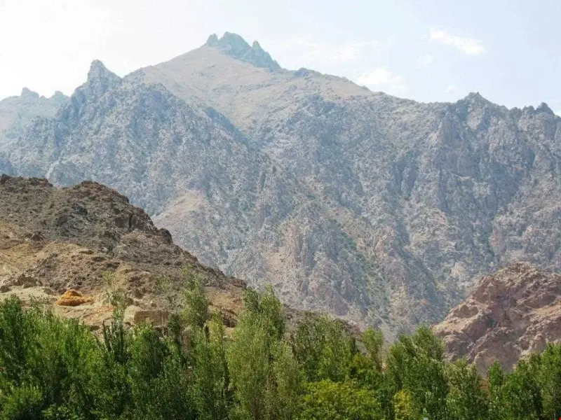
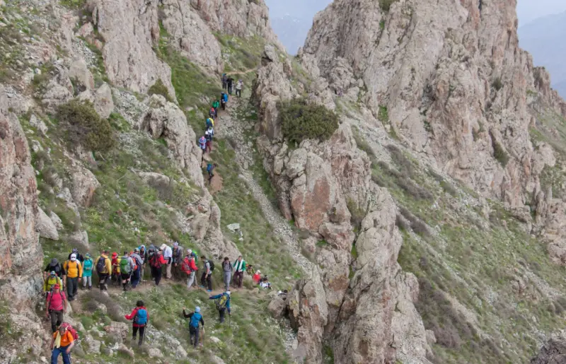
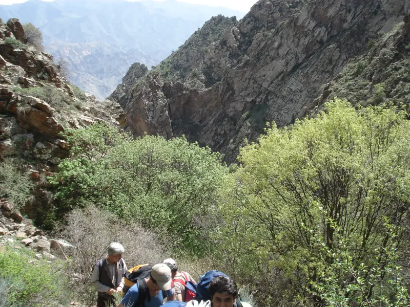
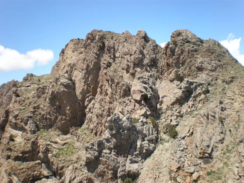
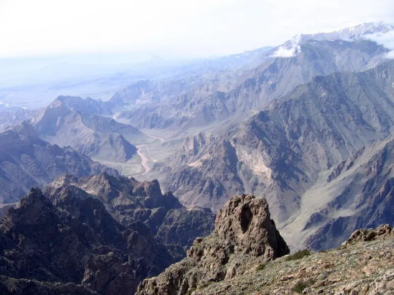
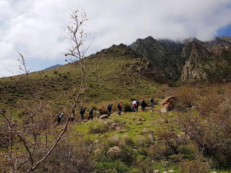
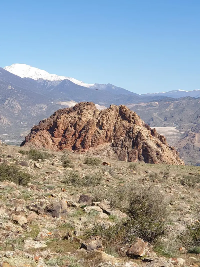
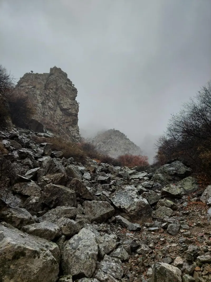
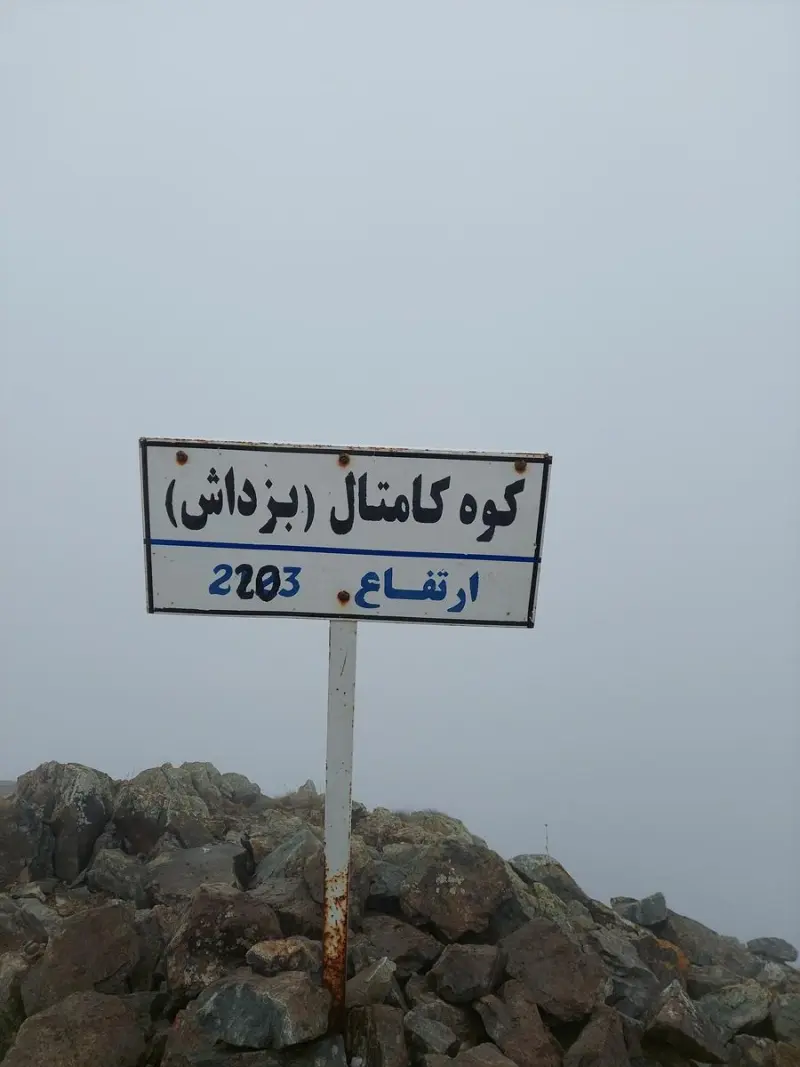
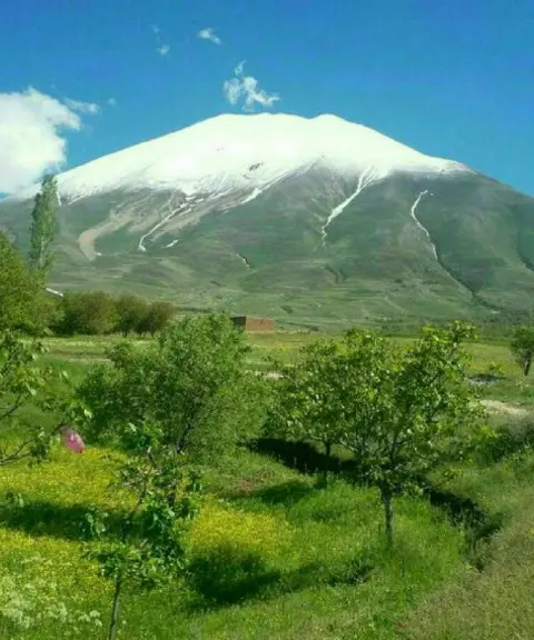
Kamtal Peak (sometimes also known as Kantal or Boz Dash) is one of the most distinctive natural mountains in East Azerbaijan Province, in Jolfa County, Norduz district. It lies along the Aras River border strip, close to the Iran–Armenia border. The peak is part of the Arasbaran highlands and offers visitors broad natural views. Its location within the Kiamaki Protected Area has meant that its vegetation and wildlife have been preserved to a considerable degree.
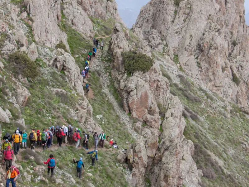
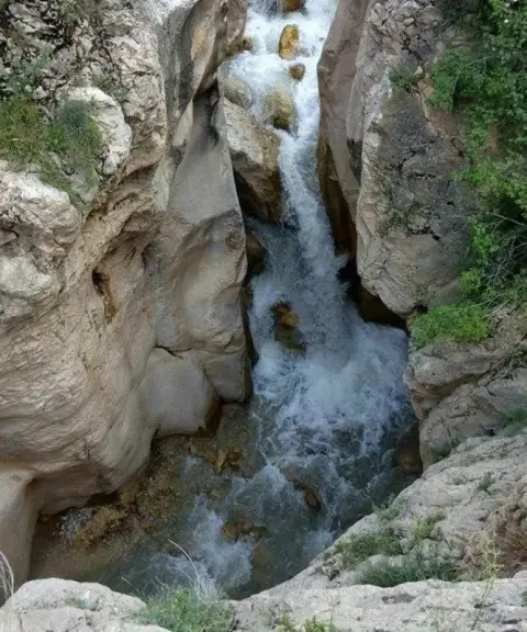
Climbing Kamtal Peak is regarded by mountaineers and nature lovers as one of the most exciting experiences in northwest Iran. Several routes can be followed up through different valleys (eastern and western), and each offers its own special scenery. Flowing springs, diverse vegetation and sweeping views from the summit have made this mountain a notable destination for those who enjoy mountaineering and nature tourism.
To reach the starting point of the climbing routes, you usually travel from the city of Jolfa towards Norduz; you then drive as far as you can towards the start of the route in the highlands and continue the rest of the way on foot. The best time to visit and climb the peak is spring (Ordibehesht, roughly late April to May), as the weather is milder and the routes are more accessible. In the hot or dry seasons of the year, environmental authorities may impose entry restrictions to protect the ecosystem. While climbing, please avoid wasting water, lighting fires, or damaging vegetation and wildlife, so that the natural sustainability of this area is preserved.
Written by ستایش عرب Last updated
What you can do here, and what it takes
مسیرهای پاکوب مشخص از درههای شرقی و غربی برای پیمایش کوهنوردی فراهم است.
Province East Azerbaijan
Province East Azerbaijan
Province East Azerbaijan
Province East Azerbaijan
Province East Azerbaijan
Province East Azerbaijan
Province East Azerbaijan


Unfortunately, no comments have been registered.