
 Seas and Lakes

Joushin Castle
Province East Azerbaijan
- Walking
- Mountaineering
Where engineering meets the mountain landscapes of Varzaqan
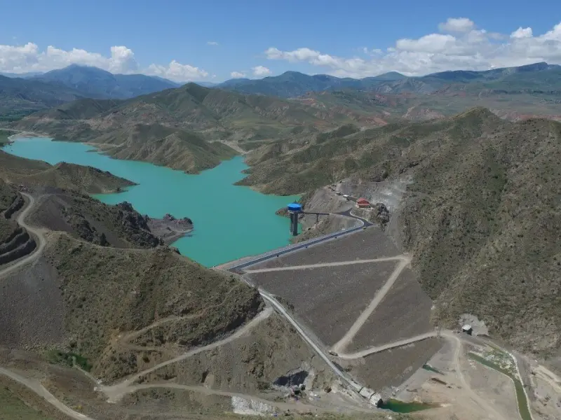
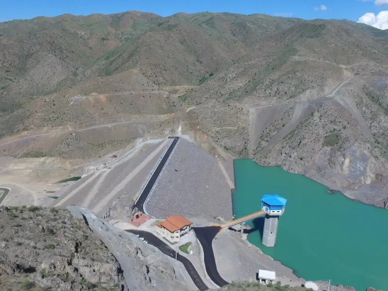
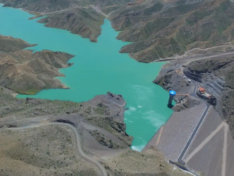
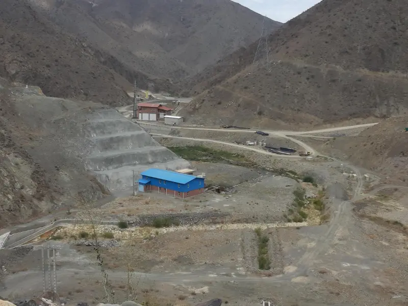
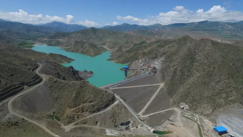
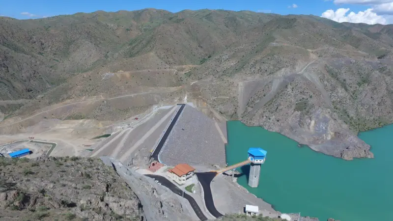
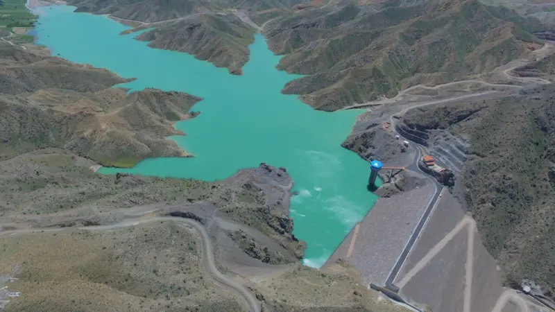
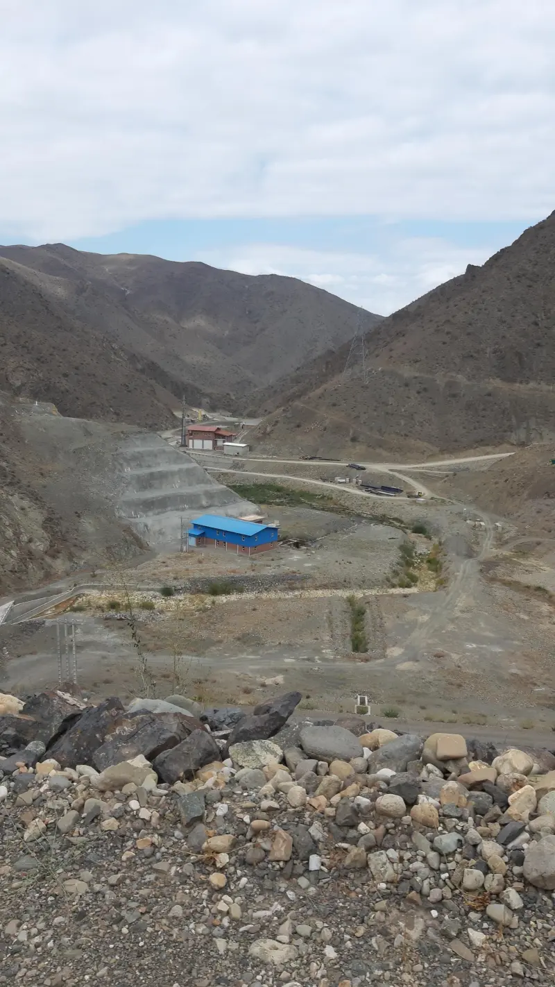
Hajilar Dam (also known as Hajilarchay Dam) is one of the important water structures in East Azerbaijan Province, in Varzaqan County. It was built on the Hajilarchay River (one of the headwater tributaries of the great Aras River) and was designed and constructed to manage the region's water resources. This clay-core earthfill dam was inaugurated in 1398 (Solar Hijri) in the presence of national officials, and it has a considerable storage capacity for regulated water, which plays a key role in the development of the region.
Hajilar Dam was built to supply drinking, industrial and agricultural water for Varzaqan County and the surrounding areas. The reservoir volume is estimated at about 489 million cubic metres. The dam can control floods, supply water to farmland, strengthen local employment and even create opportunities for tourism. It also supplies part of the water for the surrounding villages, and watershed management projects are planned on the land upstream to strengthen the sustainability of water and soil resources in the catchment basin.
To reach Hajilar Dam, you first need to travel to the town of Varzaqan. The dam is about 50 kilometres northwest of Varzaqan and 135 kilometres north of Tabriz, and local roads and paved access roads run close to the reservoir. The best time to visit the area is from spring to early autumn, when the reservoir holds a substantial amount of water and the surrounding scenery is at its most attractive, with vegetation and natural views. While visiting, it is very important to follow responsible nature-tourism practices, such as collecting your litter, avoiding open fires, and protecting the surrounding vegetation and wildlife.
Written by زهرا لنگری Last updated
What you can do here, and what it takes
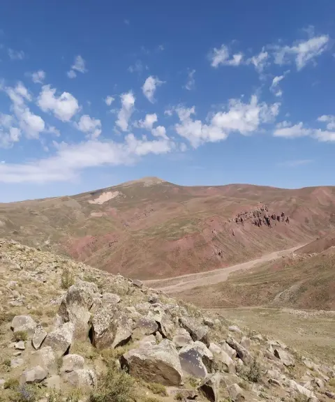
مسیرهای اطراف مخزن سد برای پیادهروی و تماشای مناظر آب و کوهستان مناسب هستند.
Province East Azerbaijan
Province East Azerbaijan
Province East Azerbaijan
Province East Azerbaijan
Province East Azerbaijan
Province East Azerbaijan
Province East Azerbaijan
Province East Azerbaijan


Unfortunately, no comments have been registered.