
 Desert (Kavir)
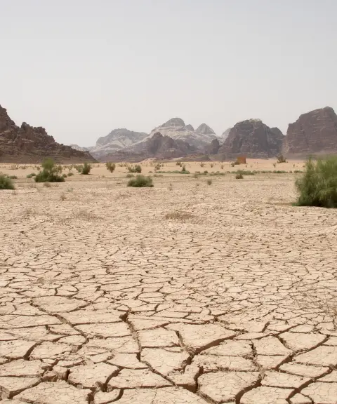
Dagh-e Patergan
Province South Khorasan
- Walking
The Pristine Desert of South Khorasan
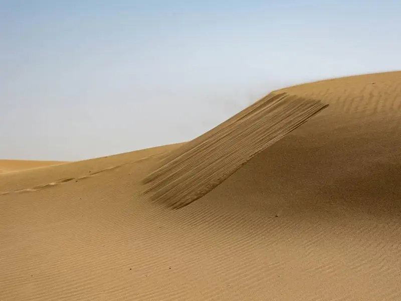
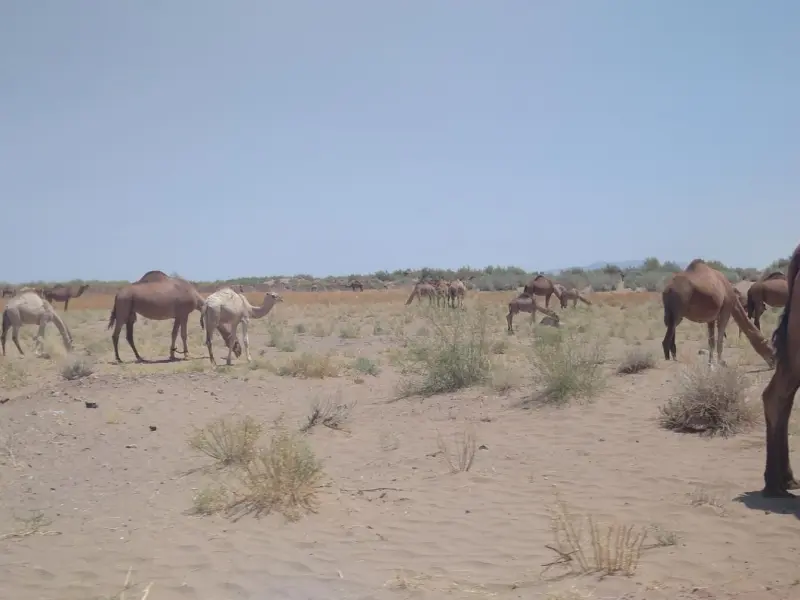
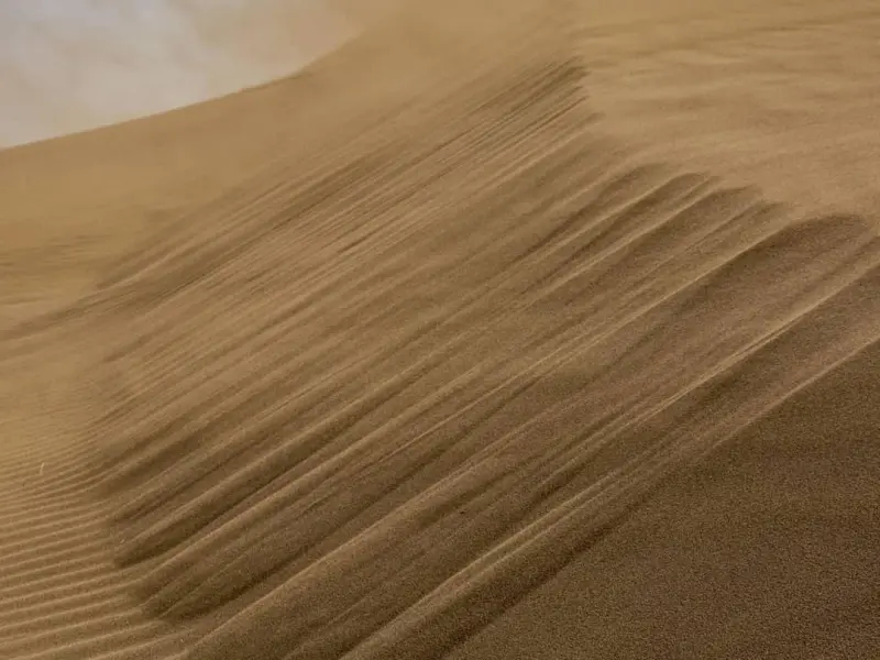
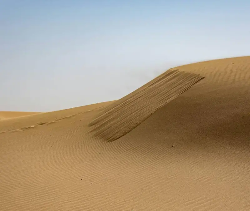
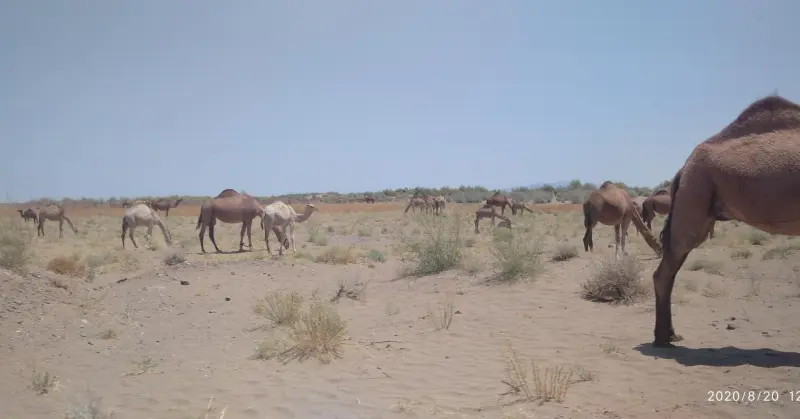
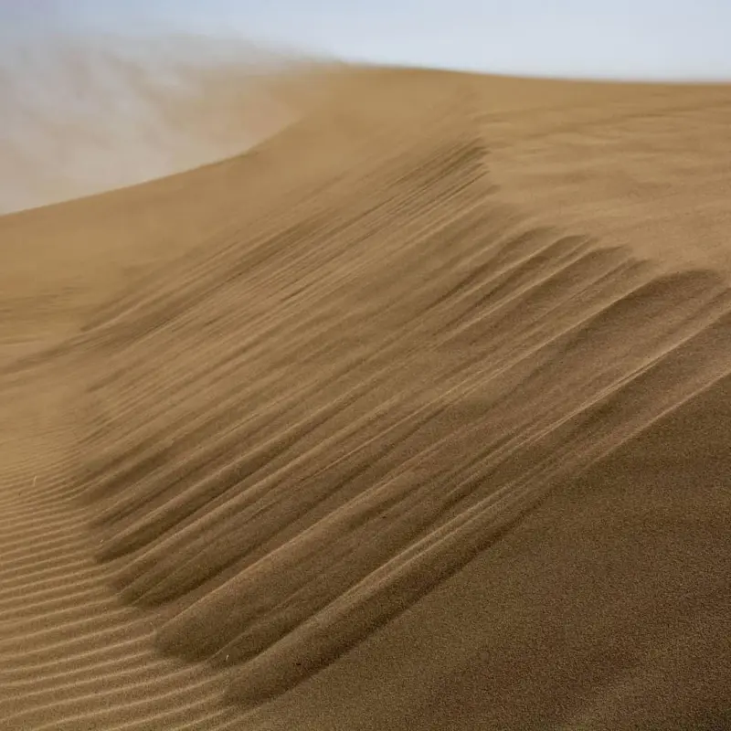
Rig-e Hematabad, also known as Rig-e Ahangaran and Petergan, is one of the sand dune fields and natural desert areas in Zirkuh District, South Khorasan Province, Iran. It lies next to the village of Hematabad and is regarded as a unique desert attraction. The area is about 65 kilometres from Zirkuh County and close to the Afghanistan border. Thanks to its vast sand fields and its diverse plant and animal life, it is considered one of the country's living desert ecosystems. The dune field is named after the village of Hematabad to its south and forms part of the broad Shahrokht plain of Qaenat. It is bounded on the north by the Shahrokht and Bamrud mountains, on the east by the Sakhar and Karizak mountains in Afghanistan, on the south by Mount Hezar Sangan, and on the west by the Gazik, Gazkhat, Ahangaran and Se Pestan highlands. The basin covers more than 4,400 square kilometres, most of it plain and the rest highlands, and has a hot, dry climate with limited rainfall.
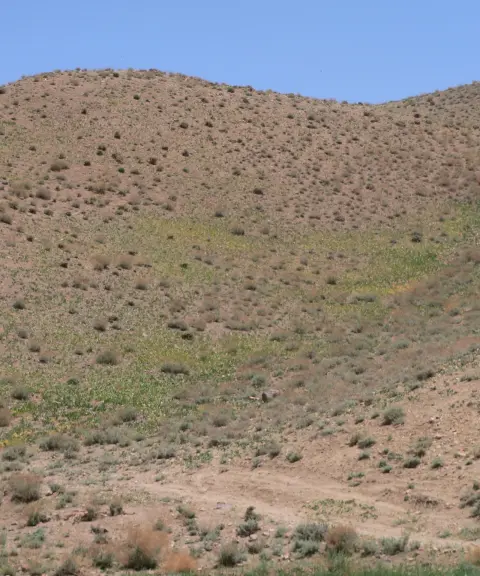
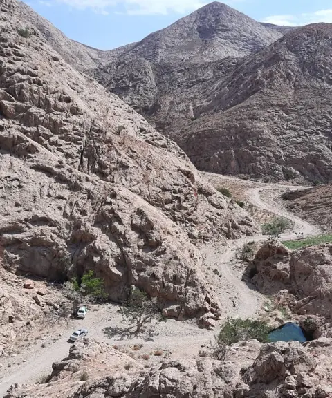
Rig-e Hematabad includes large areas of shifting sand and sandy desert terrain, offering unique landscapes for desert trekking, desert photography, 4×4 safaris and the experience of living in the heart of the desert. Vegetation in the area is richer than in many other pristine deserts of Iran, and endemic, drought-resistant species can be found here. As for wildlife, species such as the sand cat live in this habitat. The Tajnud River flows through the middle of the dune field. It rises in the Ahangaran mountains, has a permanent flow in its headwaters, and carries water of very good quality. After passing the village of Tajnud, the river enters the dune field, and its excess floodwater drains into the Petergan playa (dagh). When the riverbed is dry, it can be reached by two-wheel-drive vehicles.
To reach Rig-e Hematabad, you can set out from the city of Qaen or from Zirkuh County, and after arriving at the village of Hematabad, continue on dirt and desert tracks that lead into the dune landscapes. The best time to visit, especially for the full experience of desert trekking, safari and hiking, is spring (mid-Esfand to early Ordibehesht), when the desert air is milder and the natural scenery is at its most beautiful. When visiting the dunes, it is important to follow the principles of responsible nature tourism: carry enough water, respect the desert ecosystem, do not leave litter, and stay on the established tracks.
Written by زهرا لنگری Last updated
What you can do here, and what it takes
مسیرهای شنزار اطراف همتآباد مناسب برای پیادهروی سبک تا حرفهای در بافت متفاوت بیابانی هستند.
Province South Khorasan
Province South Khorasan
Province South Khorasan
Province South Khorasan
Province South Khorasan
Province South Khorasan




Unfortunately, no comments have been registered.