
 Mountain
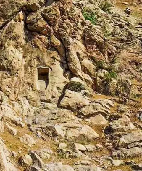

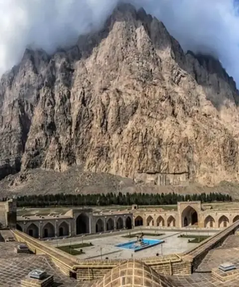
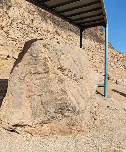
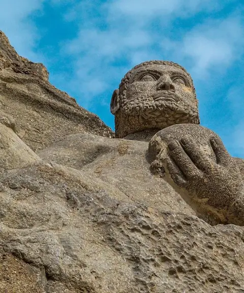
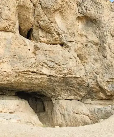
Bernaj Rock-Cut Tomb
Province Kermanshah
- Walking
- Mountaineering
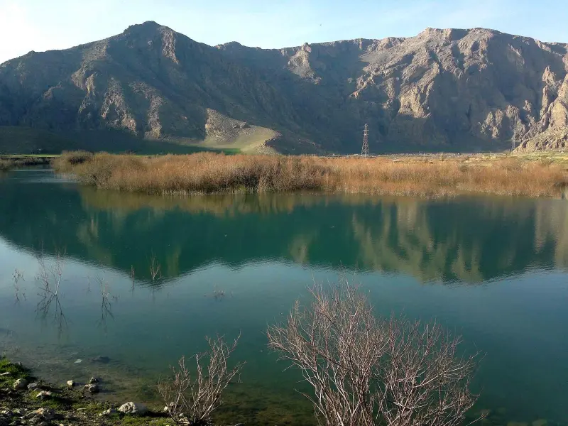
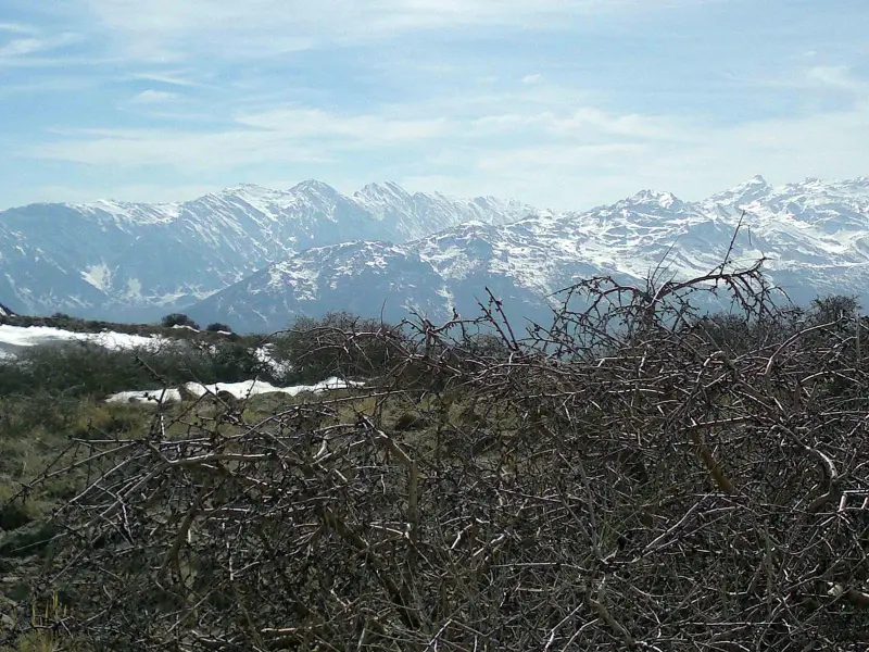
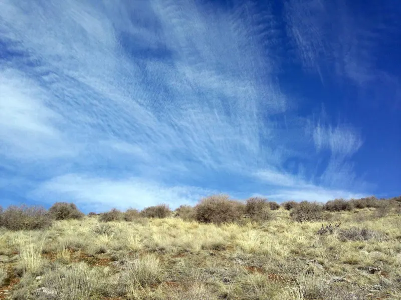
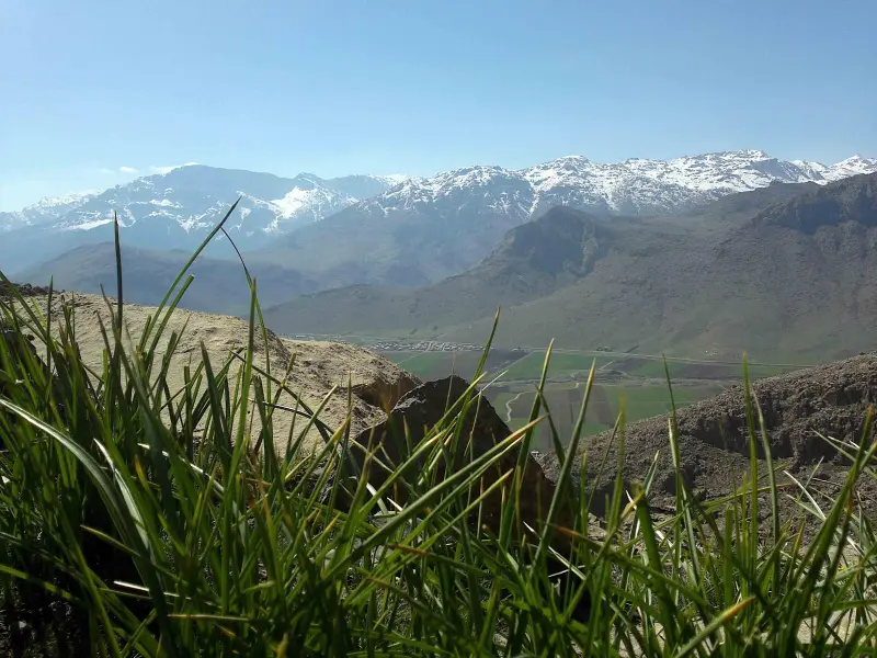
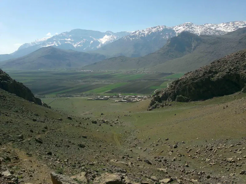
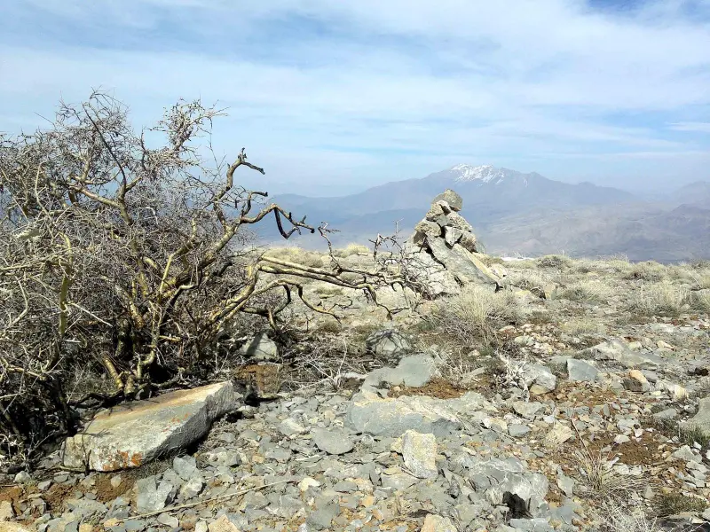
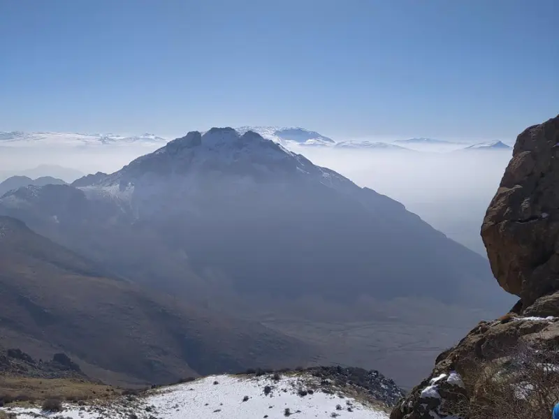
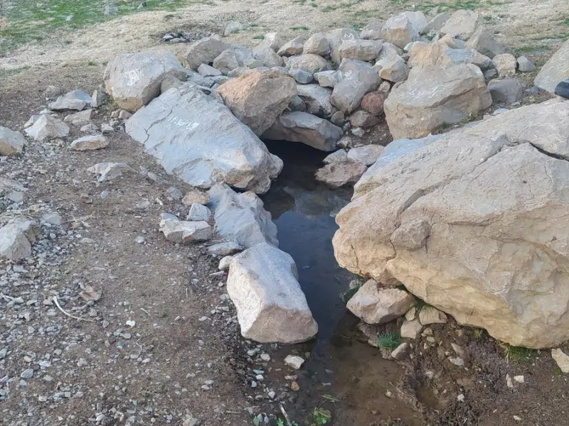
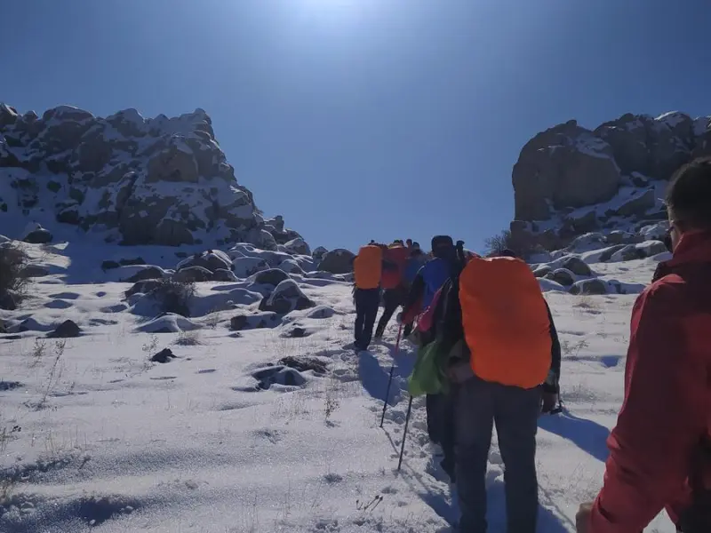
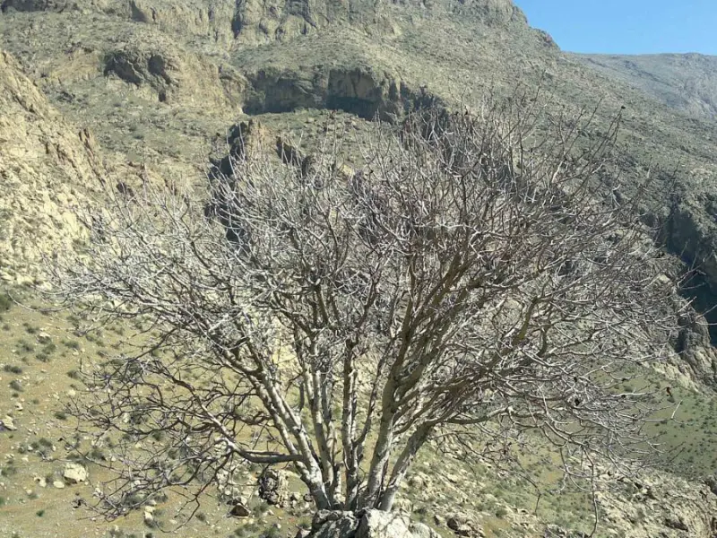
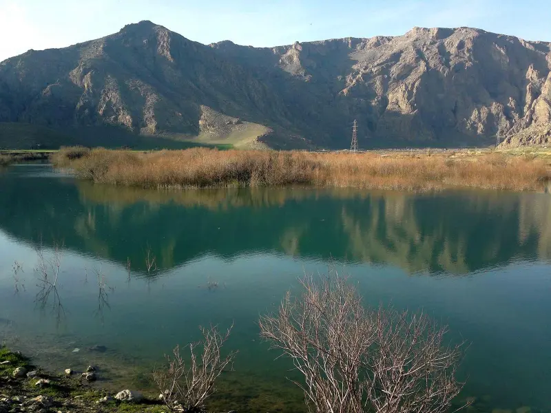
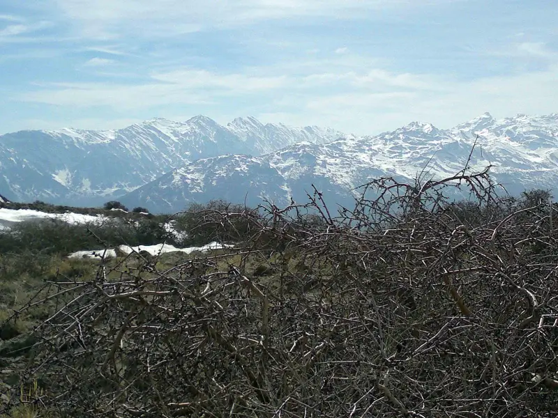
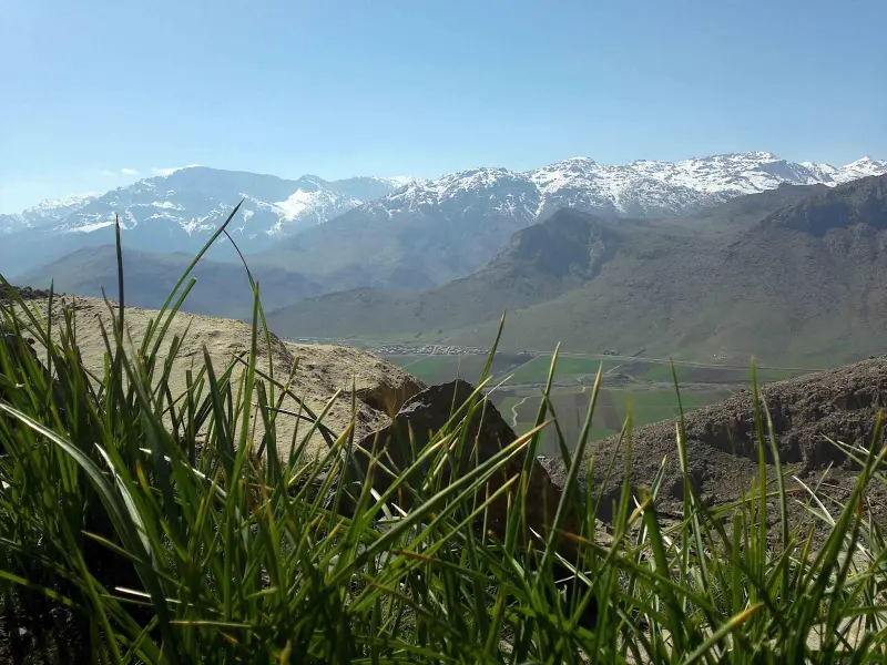
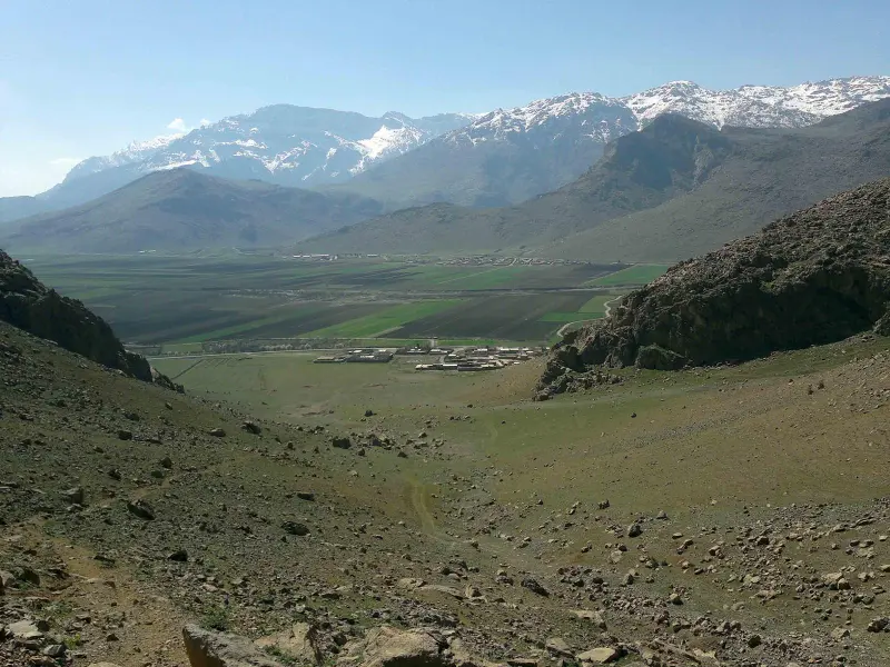
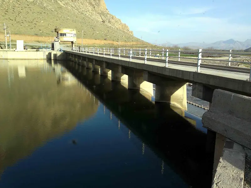
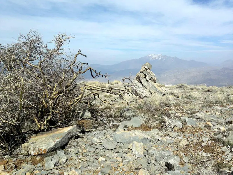
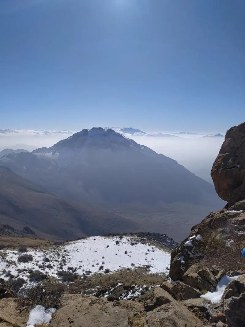
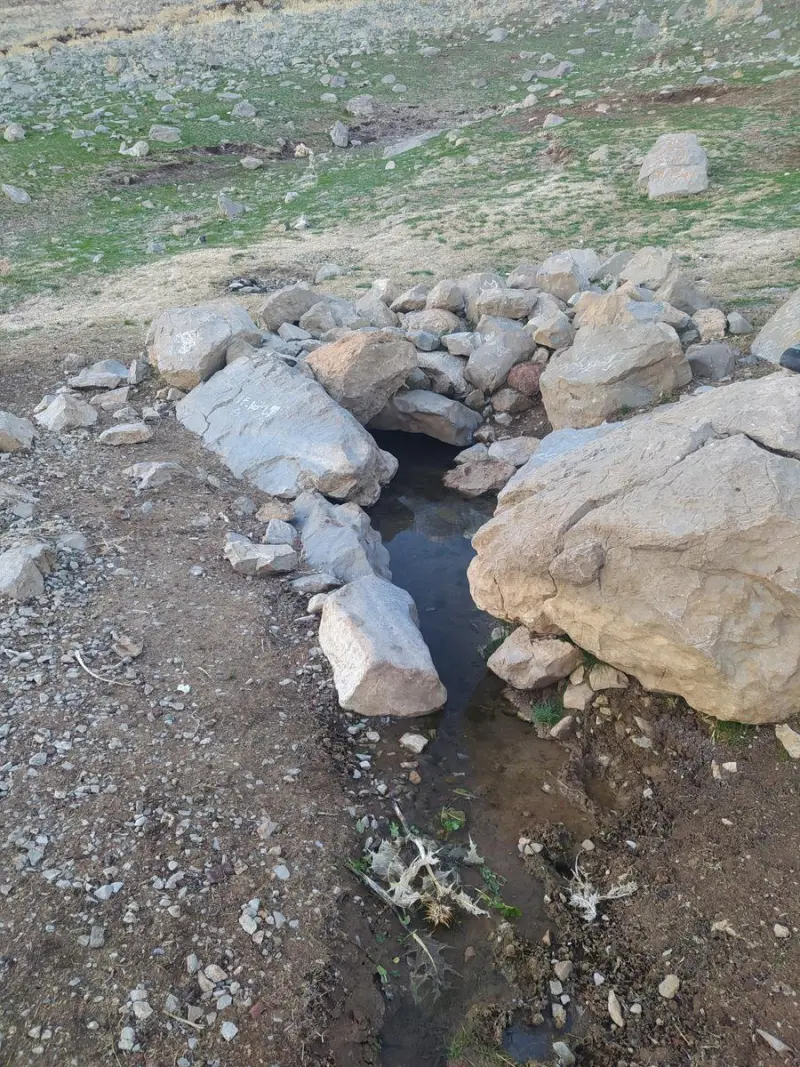
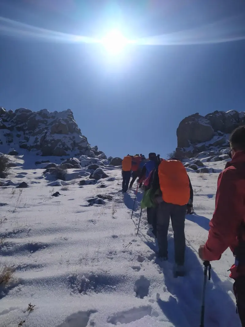
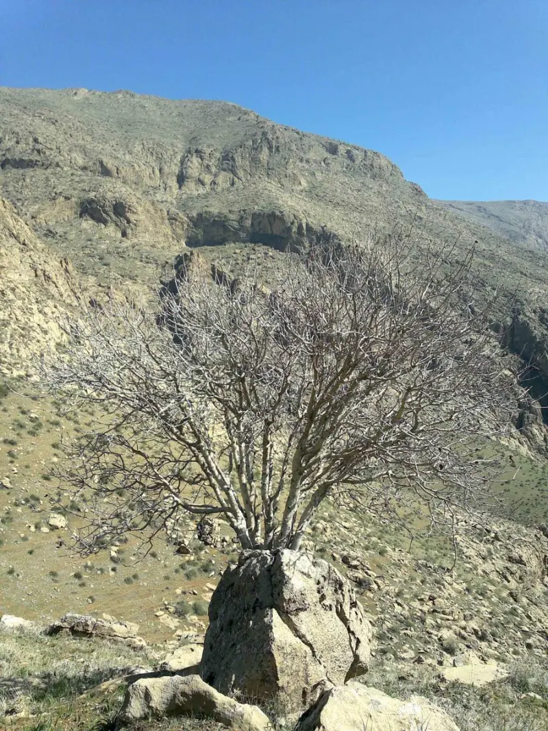
Hojar Peak (pronounced locally as "Hajar") is one of the high summits of Kermanshah Province in western Iran. It lies in Sahneh County, along the Zagros mountain range. The mountain is part of the Parav highlands in the eastern Zagros, and is known for its sweeping views, unspoiled nature and hiking routes that are popular with locals and mountaineers alike. In many trekking reports the name of the peak is recorded as "Hojar" or "Hajar", which probably comes from the local dialect and derives from the original name "Hajar".
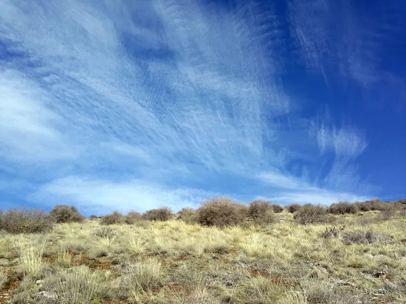
For nature lovers and climbers, Hojar Peak, at about 2,565 meters above sea level, is a good destination for a day climb and for taking in the Zagros scenery. The slopes and ridges of the mountain, which reveal themselves along the hiking routes, are covered with soft soil and local shrubs, including wild almond (arzhan), and offer a different landscape in each season. Climbing routes usually start from the surrounding villages such as Azan-Ouzan, Qeshlaq-Heydar and Sefidchaqa, each of which offers its own distinctive natural scenery along the way.
To reach Hojar Peak, first travel to the city of Sonqor in Kermanshah Province, then take side roads to one of the villages where the climbing routes begin. From the village of Azan-Ouzan, the hiking route to the summit is about 7 kilometers, and the round trip can be completed in a single day. The best time to climb the peak is from spring to early autumn, when the weather is milder and conditions on the route are safer. In winter, with the snowfall and cold of the Zagros, careful planning and suitable equipment are essential. Nature travellers and climbers should put mountain safety, appropriate gear and respect for the environment first, so that they can have a rewarding climb while protecting this valuable ecosystem.
Written by ستایش عرب Last updated
What you can do here, and what it takes
مسیرهای مشخص از روستاهای اطراف تا قله این مکان را برای کوهنوردی و پیادهروی کوهستانی مناسب میسازد.
Province Kermanshah
Province Kermanshah
Province Kermanshah
Province Kermanshah
Province Kermanshah


Unfortunately, no comments have been registered.