
 Desert (Kavir)
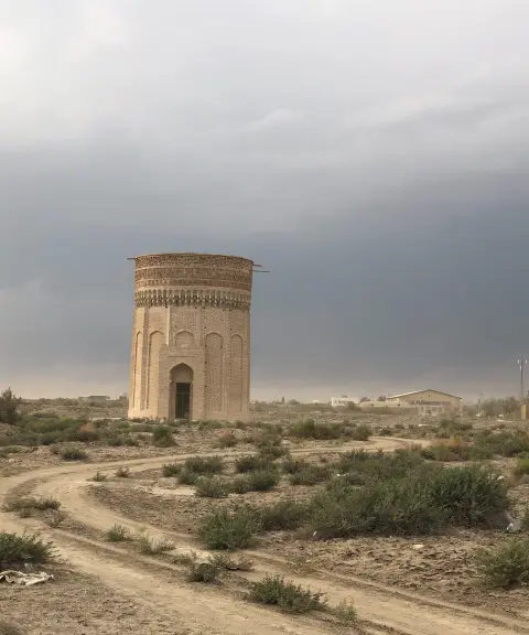

Mehmandoust Tower
Province Semnan
- Walking
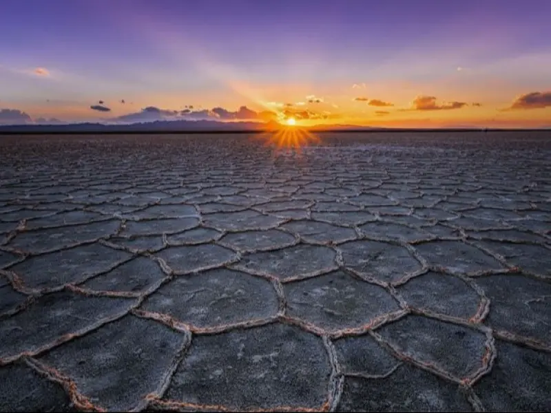
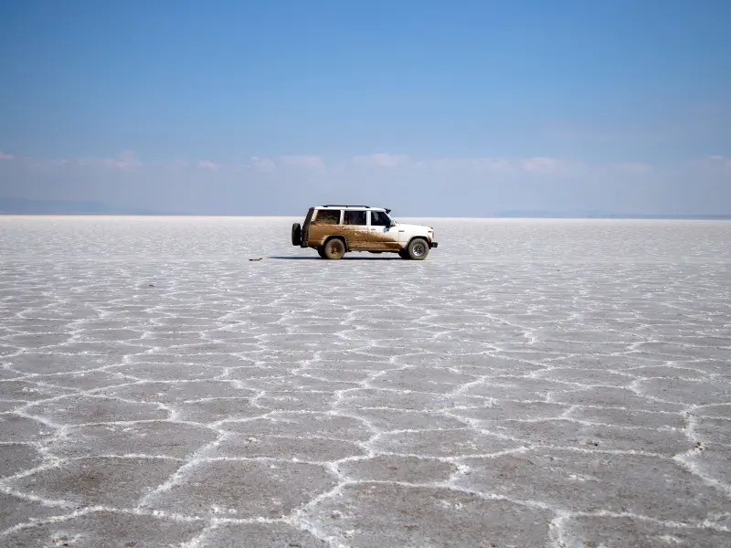
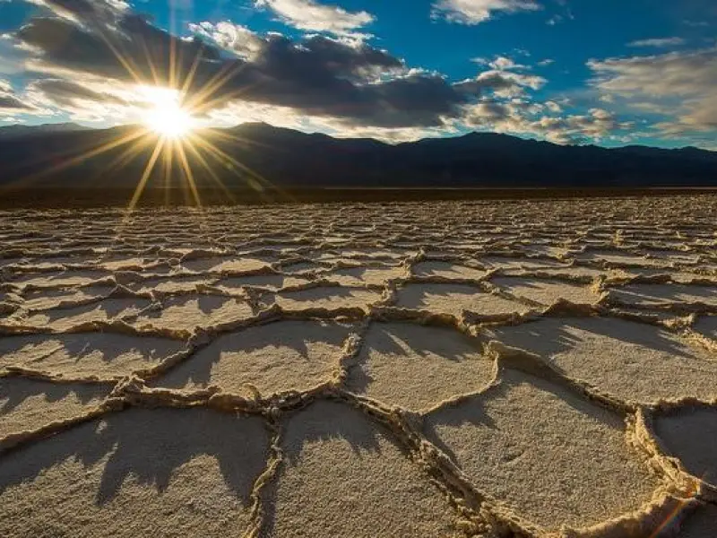
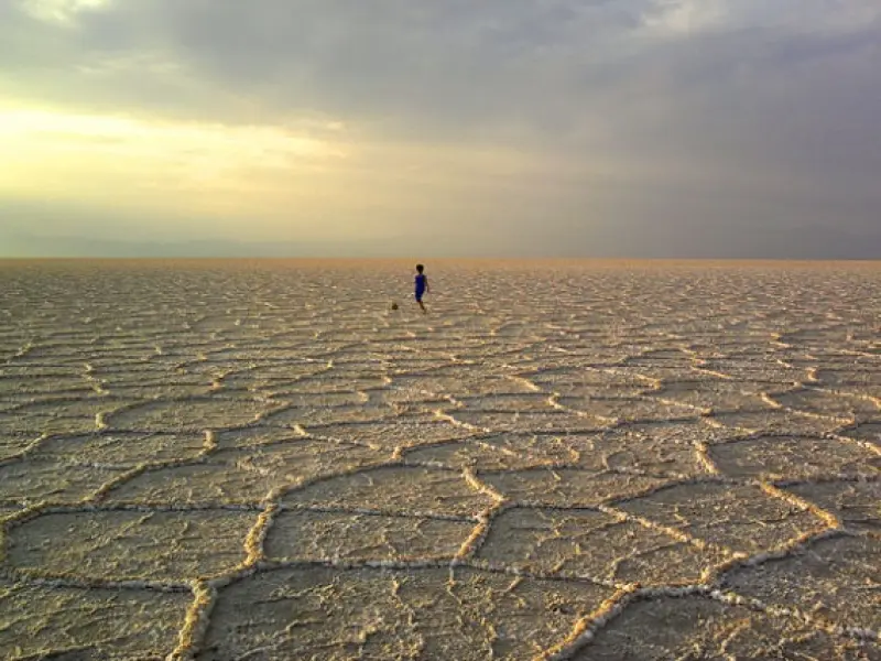
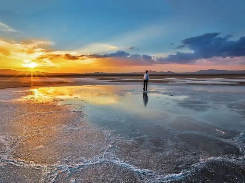
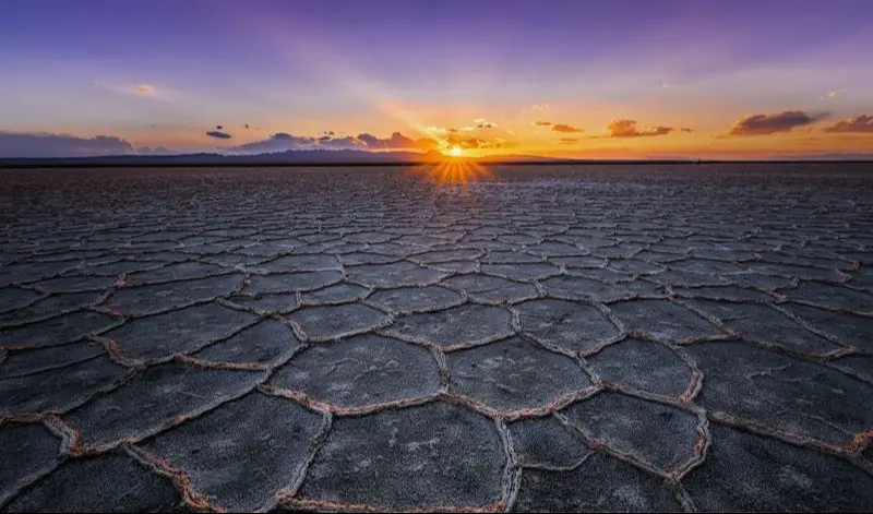
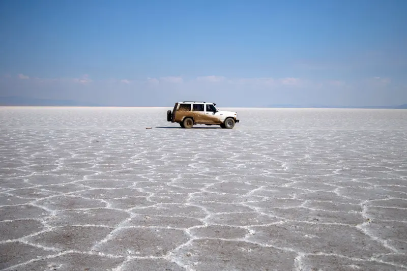
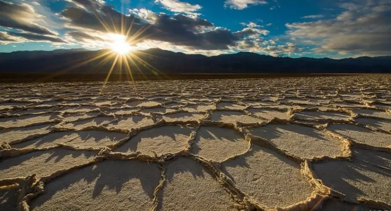
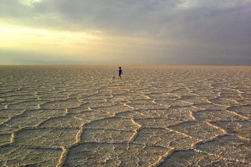
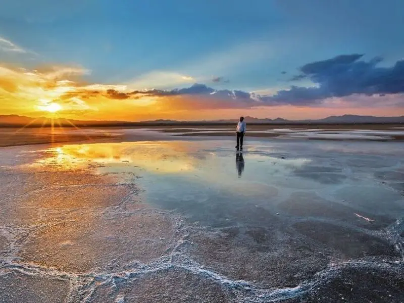
The Haj Aligholi salt desert lies southeast of Damghan, 43 kilometers from the city and close to the village of Khorzan in Semnan Province. Haj Aligholi is not a particularly vast desert, and its area is only 6,541 kilometers. The desert's elevation is about 1,100 above sea level, and it is surrounded by several mountains, such as Doulat Yar, Khers, Torkaman Gedar, Ahvand, Panj and Sorkh.
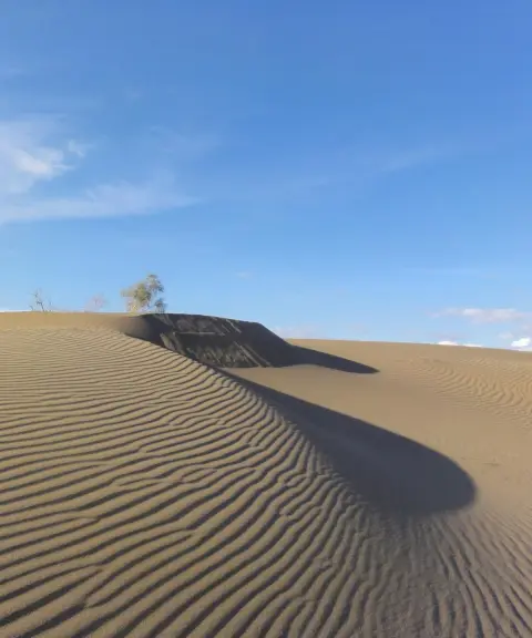
As we mentioned, the Haj Aligholi Desert in Semnan is a salt desert, and the plants and trees that grow in this region are salt-loving (halophyte) plants. For this reason, saxaul trees and various other salt-loving plants can be seen here. Two rivers, the Damghan River and the Hasanabad River, flow down from the Alborz Mountains toward the Haj Aligholi Desert. Other rivers also flow into the desert, but these days they are seasonal and dry up or run low in summer. In total, five rivers pass through the Haj Aligholi Desert: the Damghan, Hasanabad, Kar, Kalshur and Cheshmeh Ali rivers.
The origin of the name of this part of the desert is a story passed down orally from earlier generations. Haj Ali Gholi Herati Sharifabadi was a merchant in the time of Naser al-Din Shah, working on the route of Damghan, Jandaq, Ardakan and Yazd. Because of the salt lake and the marshy ground, the route for trade caravans was very difficult, and they had to go around the lake, which made the journey long. Haj Ali Gholi then decided to find a shorter route across the salt lake or around it. In the end he managed to find a shortcut across the lake toward the villages of Hasanabad and Sharifabad, though two of the camels accompanying him sank into the marsh along the way. Because it was shorter, this route was welcomed by merchants and caravan travelers, and from then on the area became known as the Haj Ali Gholi Desert, so much so that this part of the central desert is recorded under the name Haj Ali Gholi Desert in geographical atlases and national maps.
Like many other deserts, the Haj Aligholi Desert has a hot climate and a very large difference between day and night temperatures. Therefore, travel to this desert is not recommended in spring and summer, especially since the sun shines directly in these two seasons, and the rivers and lakes of the desert dry up, so half of the desert's beauty is lost. In autumn and winter, by contrast, the desert has a moderate climate. Although the sky is sometimes cloudy in these two seasons, the sunlight is mild and gentle, which makes for a better desert-trekking experience. Another reason we recommend traveling to the desert in these seasons is the mirror effect on the ground, which occurs because of the rainfall in these two seasons. In conclusion, mid-autumn to late Khordad is the best time and the most suitable season to visit the Haj Aligholi Desert.
Written by کیانا دهبندی Last updated
What you can do here, and what it takes
مسیر هموار و مناسب برای پیادهروی میباشد.
Province Semnan
Province Semnan
Province Semnan
Province Semnan

Unfortunately, no comments have been registered.