
 Mountain
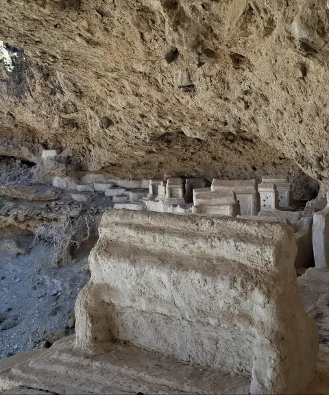

Haftad Mulla Cemetery
Province Sistan and Baluchestan
- Walking
- Mountaineering
Iran's most important semi-active volcano
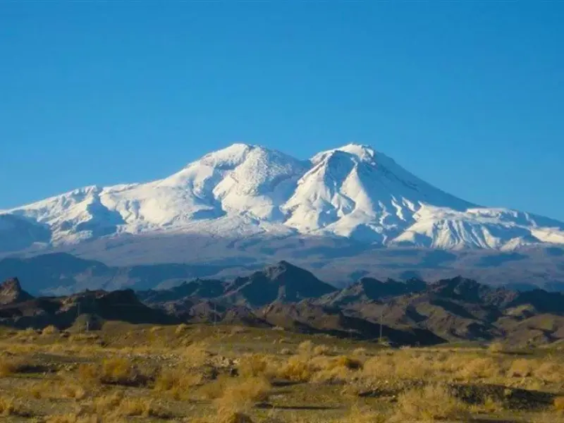
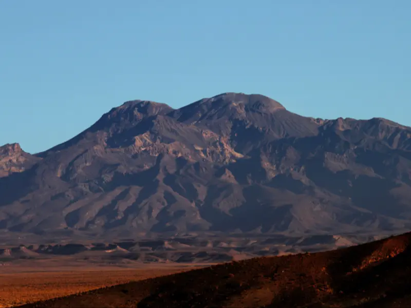
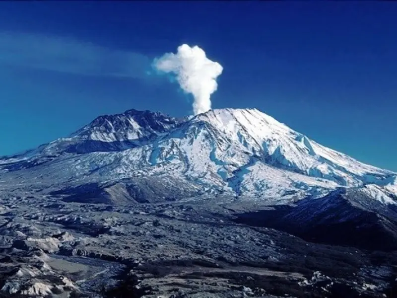
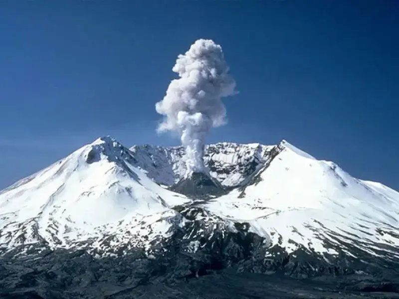
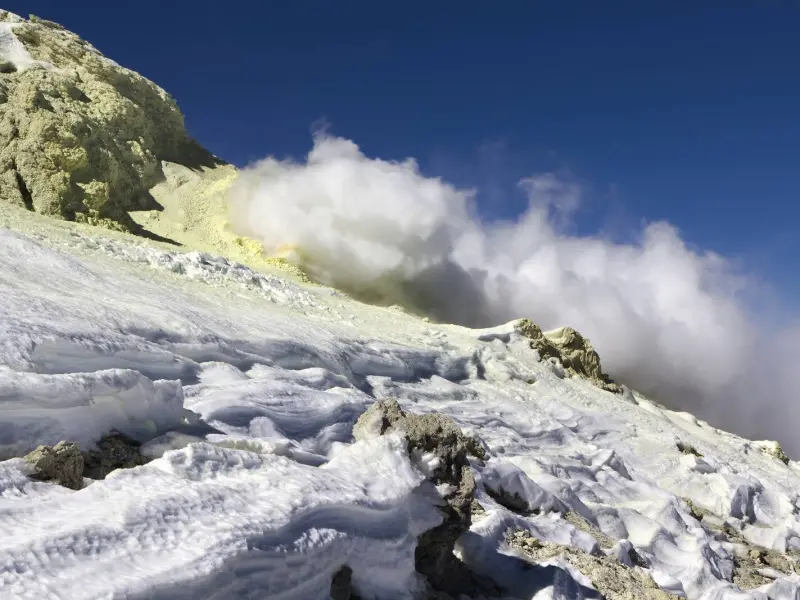
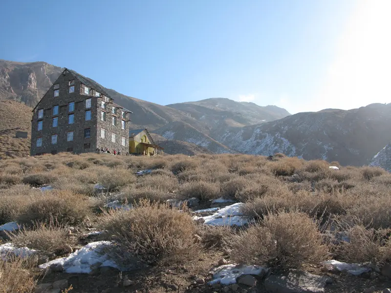
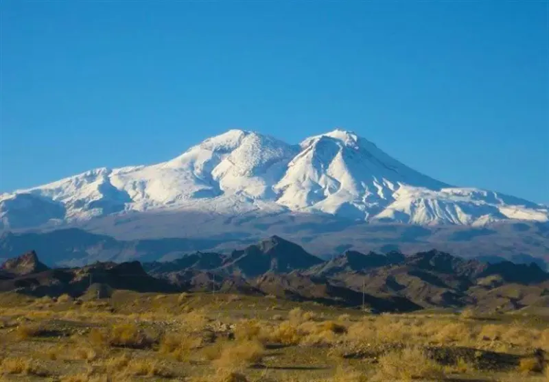
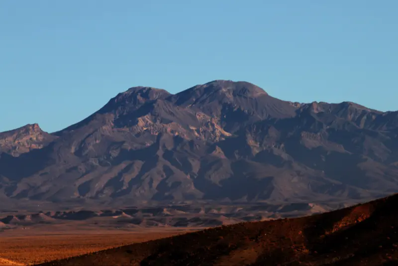
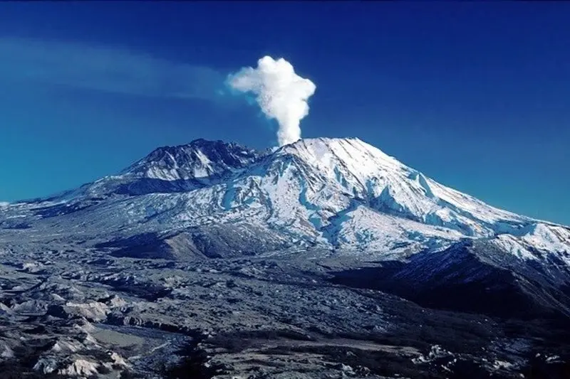
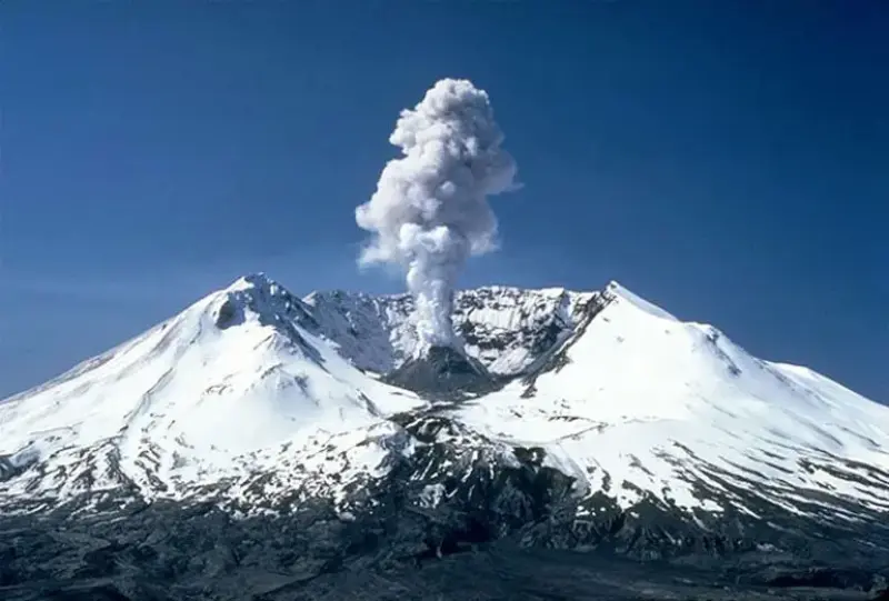
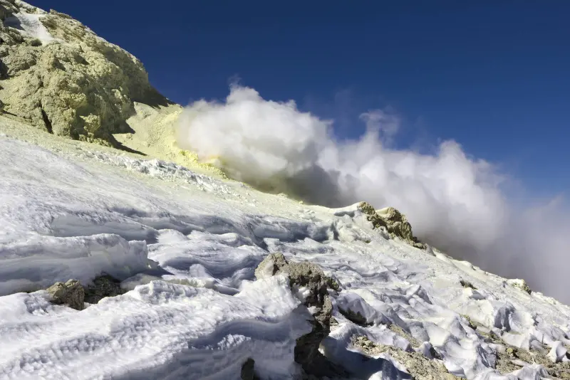
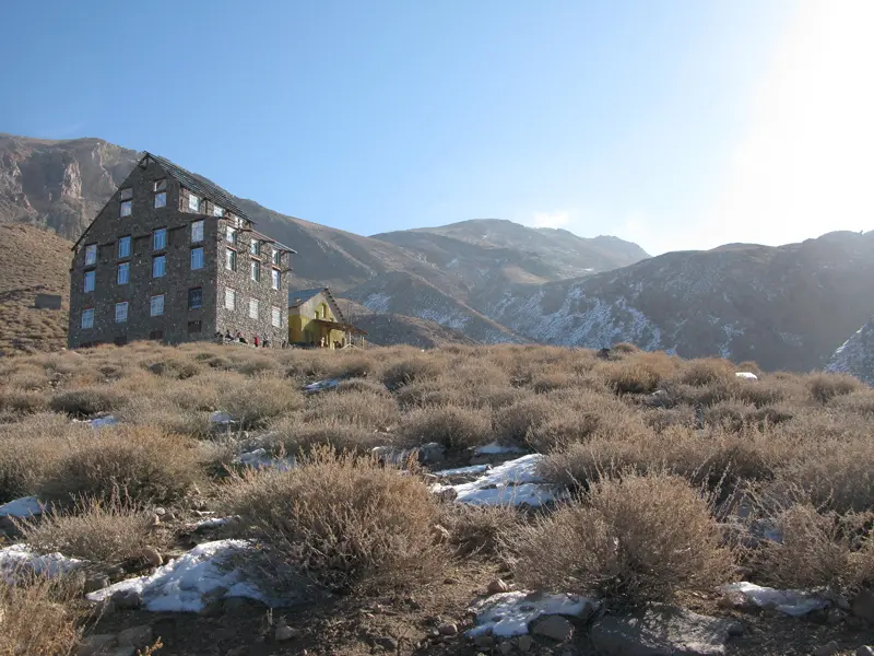
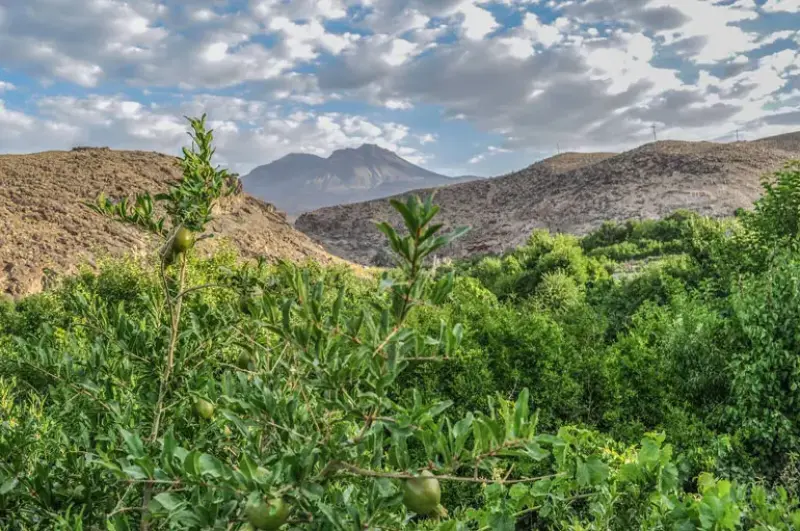
Taftan is Iran's most important semi-active volcano and the highest peak in the southeast of the country. The sulfur gas erupting from Taftan's volcanic craters is a fascinating sight for climbers. The peak has a shelter and suitable facilities along its ascent route, and as the highest peak in Sistan and Baluchestan Province, it is also on the Simorgh Project list. The volcano last erupted 6,900 years ago, and since then the mountain has continued to emit smoke and sulfur gas. The name "Taftan" comes from the local word "Tapt", meaning heat.
The main summit of the Taftan massif is called "Madarkuh" (Mother Mountain), known for its proximity to the volcanic craters and sulfur gases. Madarkuh is about 3,920 meters high, and two other peaks, Sobh Peak and Ziyarat Peak (Chehel Tan), lie around it, with no great difference in height from Madarkuh. However, Ziyarat Peak, at about 3,930 to 3,940 meters, is considered the highest summit of Mount Taftan. Taftan has two branches, and Narkuh Peak, located on the northwestern branch, is another peak in the area that is climbed less often.
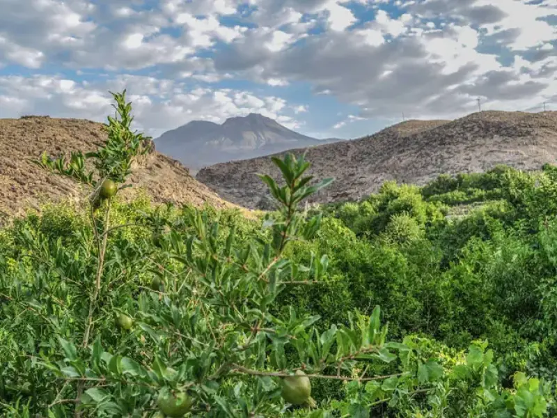
The vegetation on the slopes of Mount Taftan includes mountain shrubs, wild almond (arzhan), mountain almond, tamarisk, and black wood (siyah-chub), as well as plants such as thyme, chicory, rhubarb, and mint. Wolves and jackals are among the animals of the area. The best time to climb Taftan is the first half of spring, when the weather and temperatures are moderate and suitable for climbing. Near the summit of Taftan are three lakes called Daryasar; the two northern lakes are shallow with fresh water, while the third lake is salty and deeper.
Written by زهرا لنگری Last updated
What you can do here, and what it takes
مسیر صعود طولانی و گاهی همراه با بادهای سهمگین است.
Province Sistan and Baluchestan
Province Sistan and Baluchestan
Province Sistan and Baluchestan
Province Sistan and Baluchestan
Province Sistan and Baluchestan
Province Sistan and Baluchestan
Province Sistan and Baluchestan
Province Sistan and Baluchestan




Unfortunately, no comments have been registered.