
 Mountain
- Ability level Advanced
- Routes 1 recorded route
Ability level:
Advanced
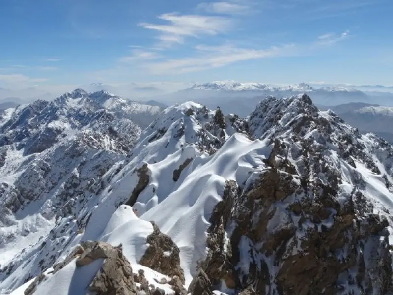
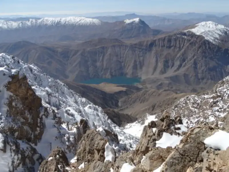
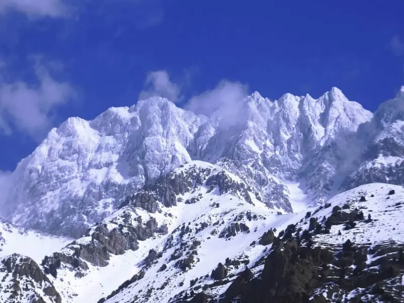
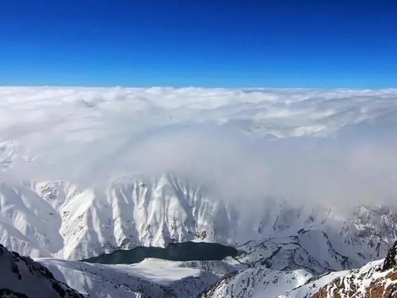
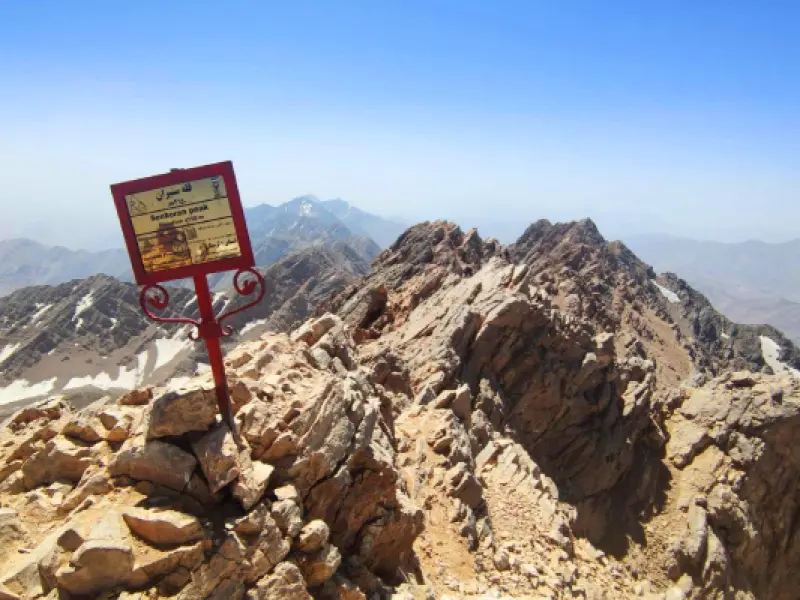
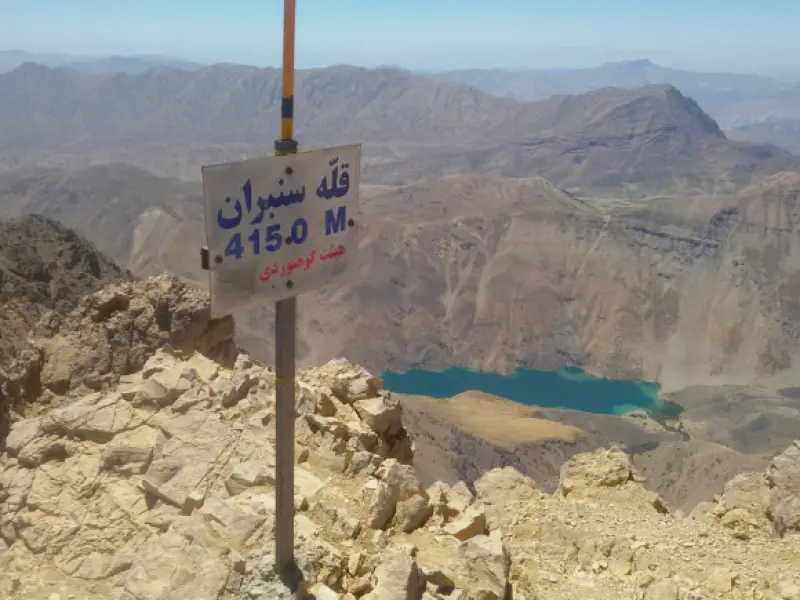
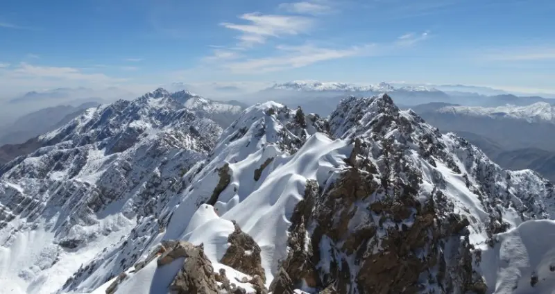
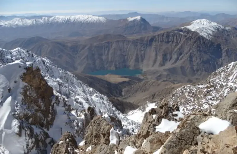
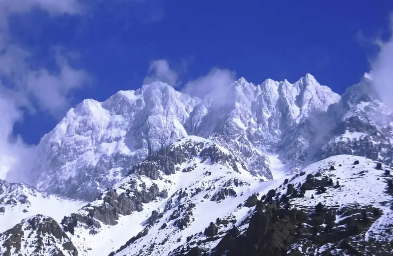
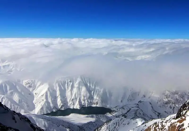
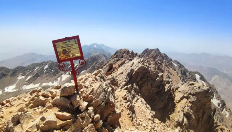
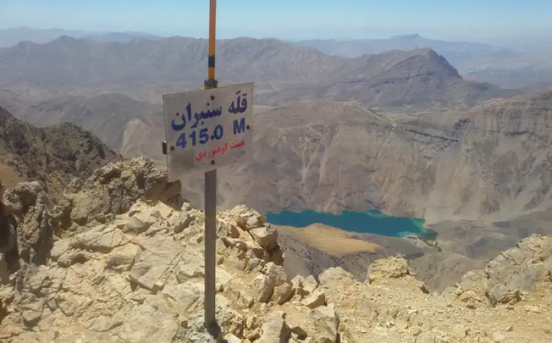
The highest peak of the Oshtorankuh range, located in Azna County, Lorestan Province, is called Sanboran. After Dena and Zardkuh, it is the third-highest peak in the Zagros and one of the most important summits of the Bakhtiari Mountains. The main summit is 4,150 metres above sea level, and the climbing route to it passes through Azna County in Lorestan Province. As the highest peak in Lorestan Province, it is one of the peaks of the Simorgh Plan of the Iran Mountaineering Federation. In the local dialect, Sanboran means hard, sharp and cutting stone, because the rocks on the summit have a character that earned it this name.
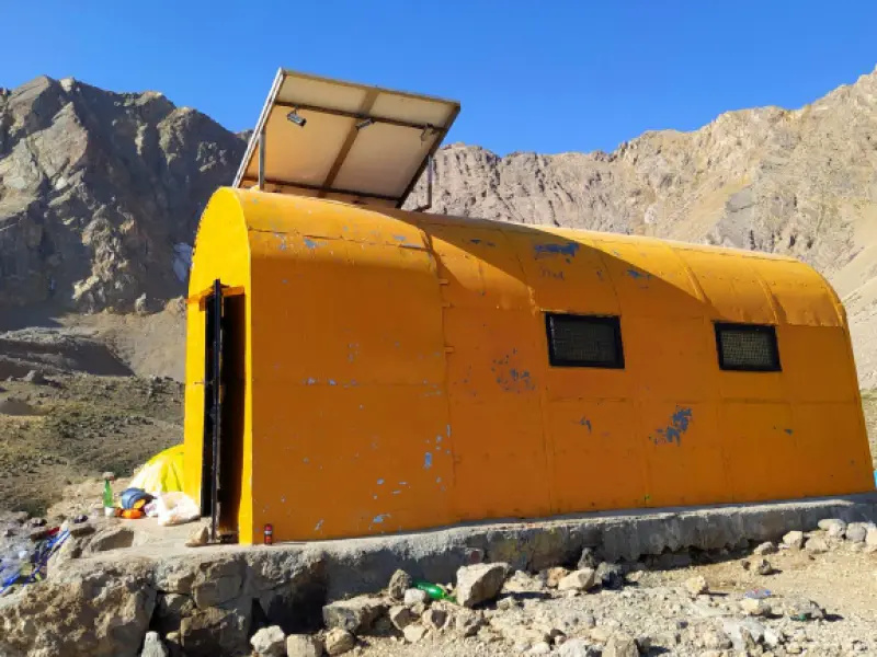
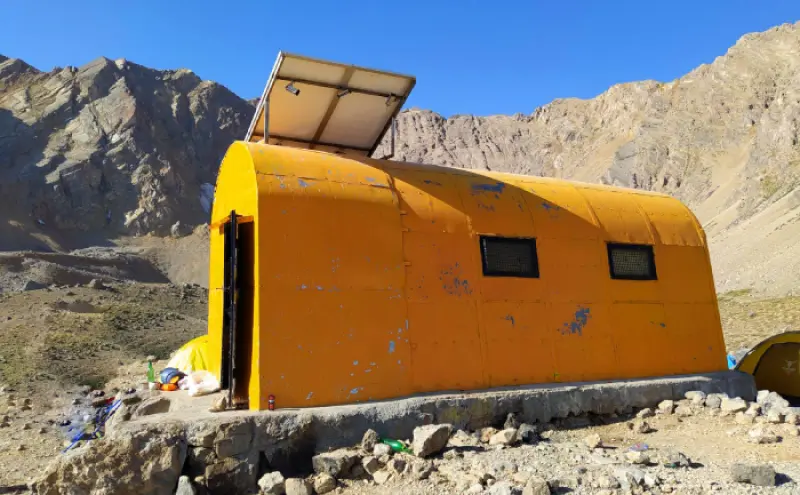
The best and most common route to Sanboran Peak is the northern route. To climb the peak, climbers must first travel to the city of Azna in Lorestan Province and then to the village of Tiyan. On the northern route to the summit there are two mountain shelters: Gol Gol at an altitude of about 2,700 metres and Chal-e Kabud at an altitude of about 3,650 metres. These shelters help climbers rest and take cover along the way. The peak can be climbed in every season, but in autumn and winter, because of the cold, precipitation and strong winds, the climb is very hard and gruelling and requires great strength and high-level mountaineering equipment.
Climbing Sanboran Peak is of high difficulty. Along the route there are many steep slopes, and some sections require scrambling with hands on the rock. Therefore, in terms of difficulty, Sanboran Peak is considered a hard climb. The time needed depends on the weather conditions, the chosen route and the climber's skill level, but in general the ascent takes one to two days. If a climber takes the normal route and has average physical fitness, the climb may take between 8 and 12 hours.
Written by زهرا لنگری Last updated
Activities
What you can do here, and what it takes
-
Mountaineering
صعود به سنبران یک صعود فنی و نیمه سنگین محسوب میشود و به همین جهت به کوهنوردان مبتدی و کم تجربه توصیه نمیگردد.
Specifications
Introduction of the location and specifications of Sanboran Peak
Oldness:
About 30 million years
Location:
Lorestan, Azna, Darband village, Tiyan village
Coordinates:
33.34024479, 49.30247784
Open in maps
Height above mean sea:
4150 meter
Land Form:
Mountainous, Mountain
Faunas:
Presence of Predatory Animals
Transports:
Private car, Only with technical climbing equipment, Minibus
Native Languages:
Luri
Tourist Attractions in Lorestan
Attractions that are nearby

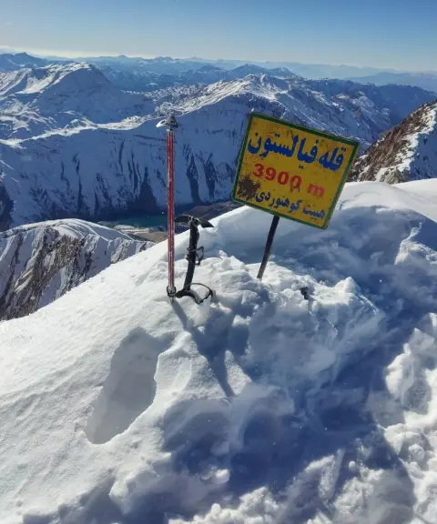
Filestoun Peak
Province Lorestan
- Mountaineering
- Walking
A mountain summit on the Oshtorankuh ridgeline
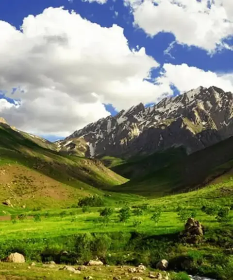

Oshtorankuh Protected Area
Province Lorestan
- Cycling
- Walking
- Mountaineering
A pristine paradise in the heart of the Zagros, with astonishing diversity of nature and wildlife
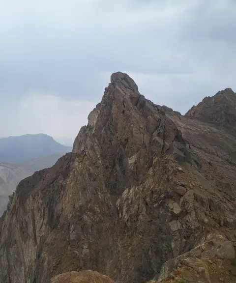
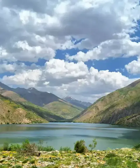
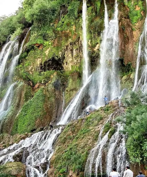

Oshtorankuh Waterfalls
Province Lorestan
- Walking
- Swimming
Blue Jewels in the Heart of the Iranian Alps
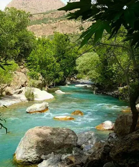

Neygah Valley
Province Lorestan
- Walking
- Canyoning
A forested, rocky passage on the route to Lake Gahar
Related tags:
Unfortunately, no comments have been registered.