
 Mountain
Filestoun Peak
A mountain summit on the Oshtorankuh ridgeline
- Mountain
- Lorestan, Khorramabad
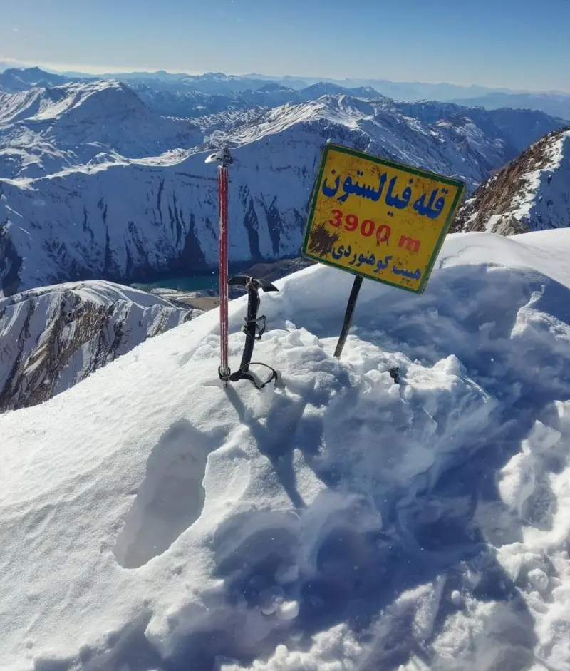
- Altitude 3,900 m
- Ability level Intermediate
- Routes 1 recorded route
Ability level:
Intermediate
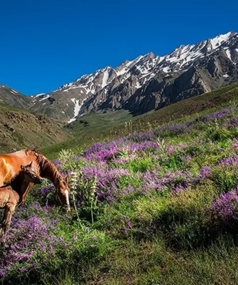
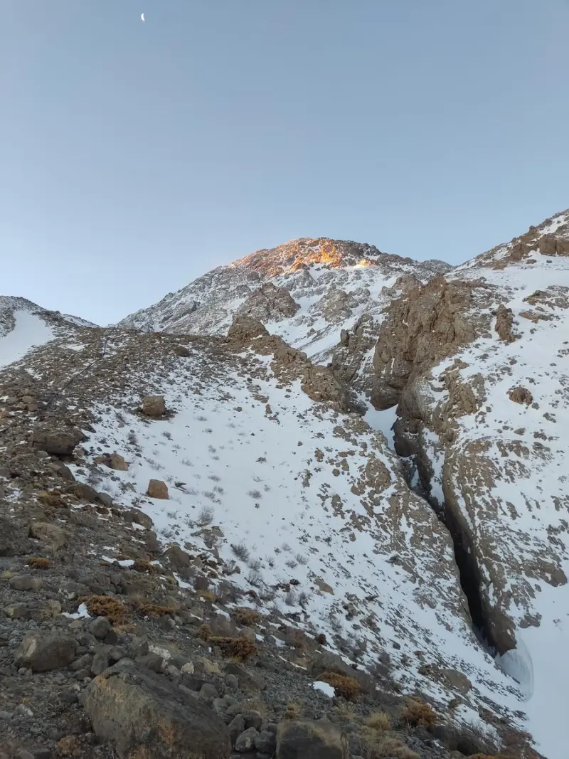
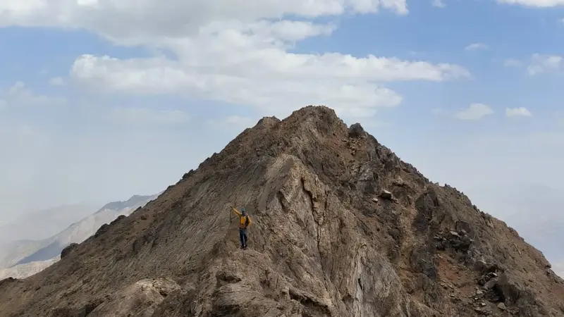
Filestoun Peak is one of the best-known and most scenic summits of the Oshtorankuh range in Lorestan Province, standing among the high points along the range's main ridgeline. Known as the "Alps of Iran", this range is one of the most remarkable mountain areas of the Zagros. Set among the chain of Oshtorankuh summits, Filestoun Peak offers a stunning view of natural landscapes, deep valleys and high-altitude meadows.
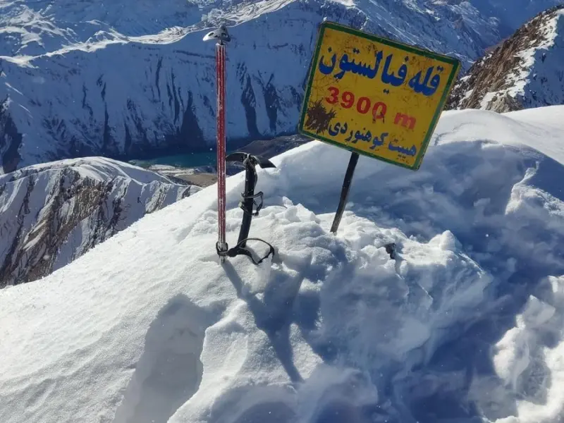
Climbing route data and elevation maps indicate that Filestoun Peak is about 3,900 meters above sea level, making it a notable point among the peaks of Oshtorankuh. Along the ridgeline it stands alongside other summits such as Sanboran, Gol Gol, Gol Gohar, Kuleh Layu and Mirzaei, and it offers visitors extensive views of other Zagros heights.
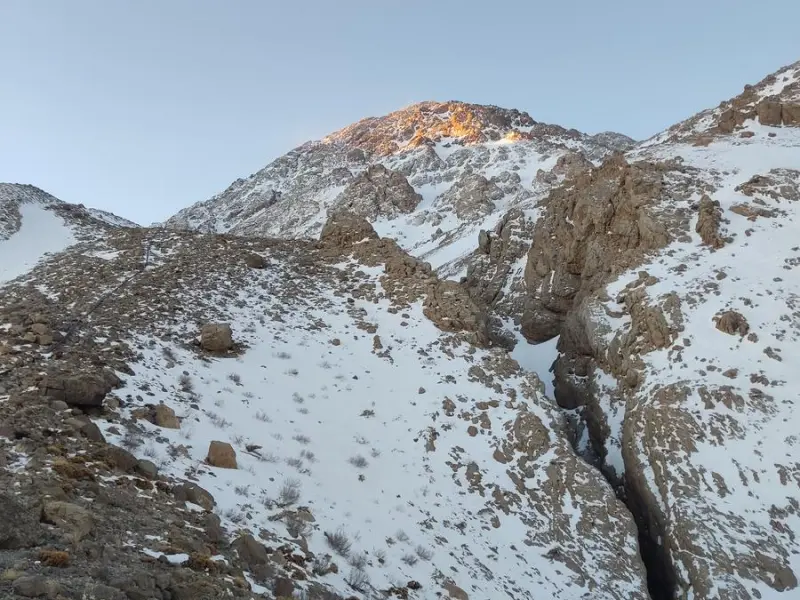
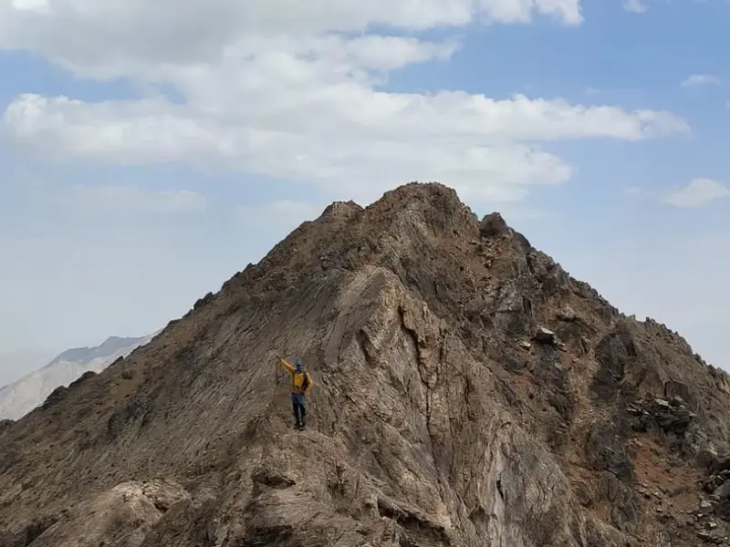
Filestoun Peak is usually reached from the villages and foothill trails of Oshtorankuh. Climbers and nature lovers set out from starting points near the southern and northern slopes of the range to reach the trodden ridges, and from there continue to the summit. The best time to climb is from spring to early autumn, when the routes are clearer of snow and the weather is better suited to mountain trekking. Following mountaineering safety principles and practicing responsible nature tourism are essential, including carrying standard equipment, suitable footwear and enough water for a safe trek.
Written by ستایش عرب Last updated
Activities
What you can do here, and what it takes
-
Mountaineering
مسیرهای پاکوب از دامنههای اشترانکوه تا قله فیالستون مناسب کوهنوردان متوسط تا حرفهای است.
-
Walking
بخشهای پایین مسیر برای پیادهروی تفریحی و طبیعتگردی مناسب هستند.
Specifications
Introduction of the location and specifications of Filestoun Peak
Location:
Lorestan, Khorramabad
Coordinates:
33.33264464, 49.31524519
Open in maps
Height above mean sea:
3900 meter
Floras:
Semi-arid mountainous
Faunas:
Presence of Predatory Animals, Presence of Herbivorous Animals
Transports:
Private car, Walking, Minibus, Bus
Tourist Attractions in Khorramabad
Attractions that are nearby
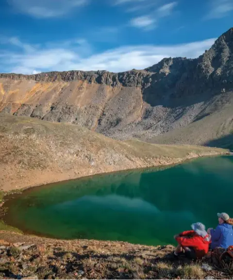

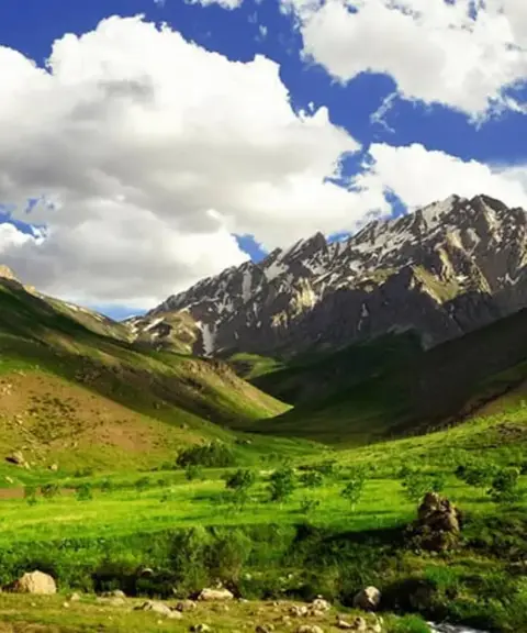

Oshtorankuh Protected Area
Province Lorestan
- Cycling
- Walking
- Mountaineering
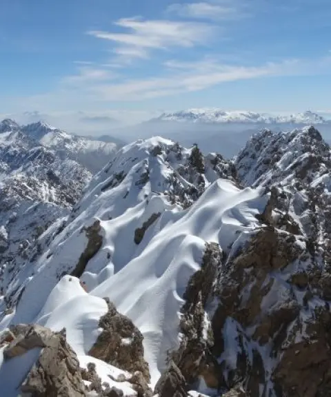
A pristine paradise in the heart of the Zagros, with astonishing diversity of nature and wildlife
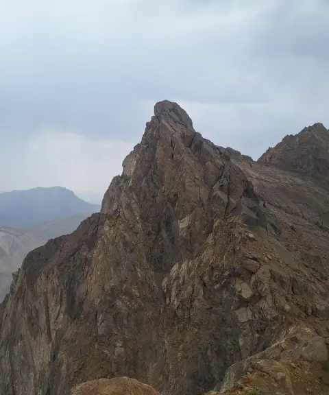
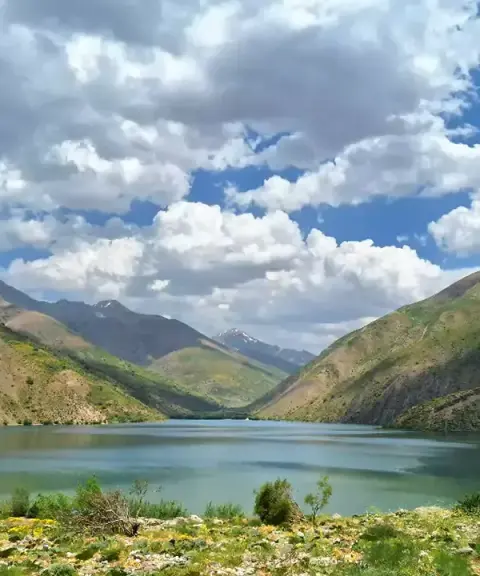
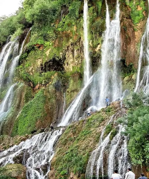

Oshtorankuh Waterfalls
Province Lorestan
- Walking
- Swimming
Blue Jewels in the Heart of the Iranian Alps
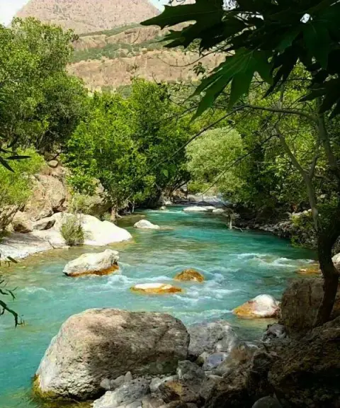

Neygah Valley
Province Lorestan
- Walking
- Canyoning
Unfortunately, no comments have been registered.