
 Attractions
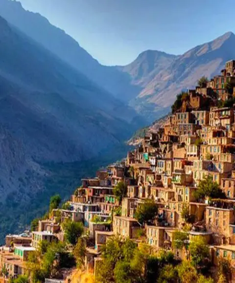
Uramanat
A Piece of Paradise on the Slopes of the Zagros Mountains
- Attractions
- Kurdistan, Uraman Takht
- Altitude 1,453 m
- Ability level Family
Ability level:
Family
Uraman, or Hawraman, is the name of a mountainous region in Kurdistan whose inhabitants are Kurds who speak Hawrami, one of the dialects of the Kurdish language. Human settlement in this region goes back to prehistoric times, and the discovery of the Uraman deeds has confirmed the rule of the Assyrians, Medes, Achaemenids and Greeks over the area. The oldest traces of human habitation were found in archaeological surveys and excavations around the village of Hajij and date to the Paleolithic era; according to archaeologists' reports, they are between about 40,000 and 12,000 years old.
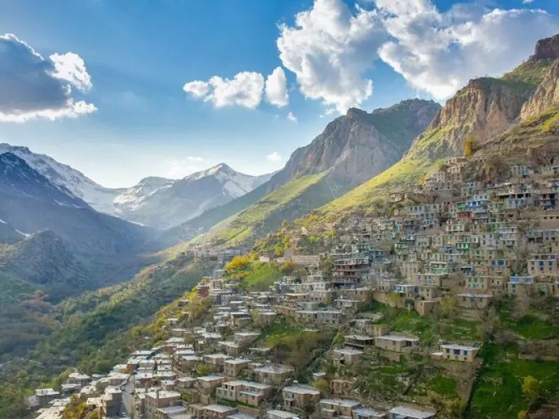
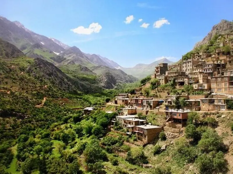
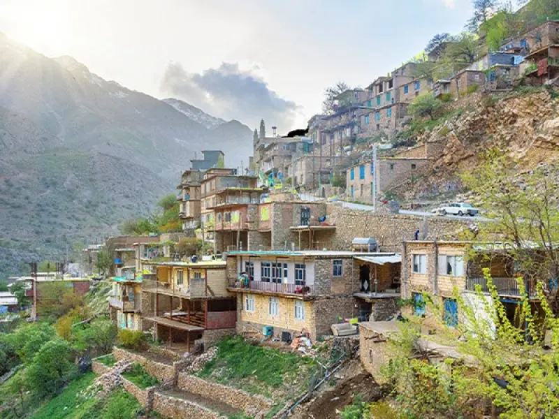
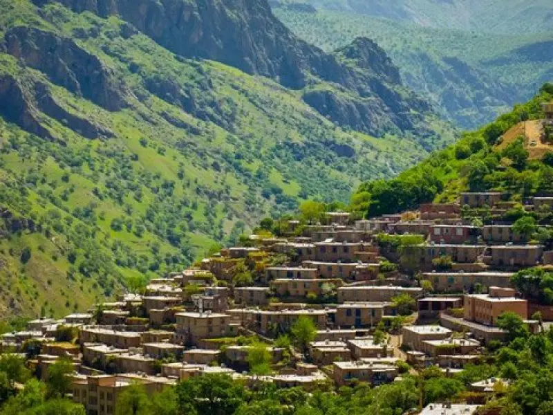
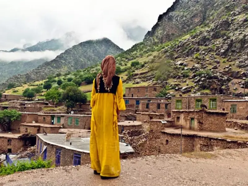
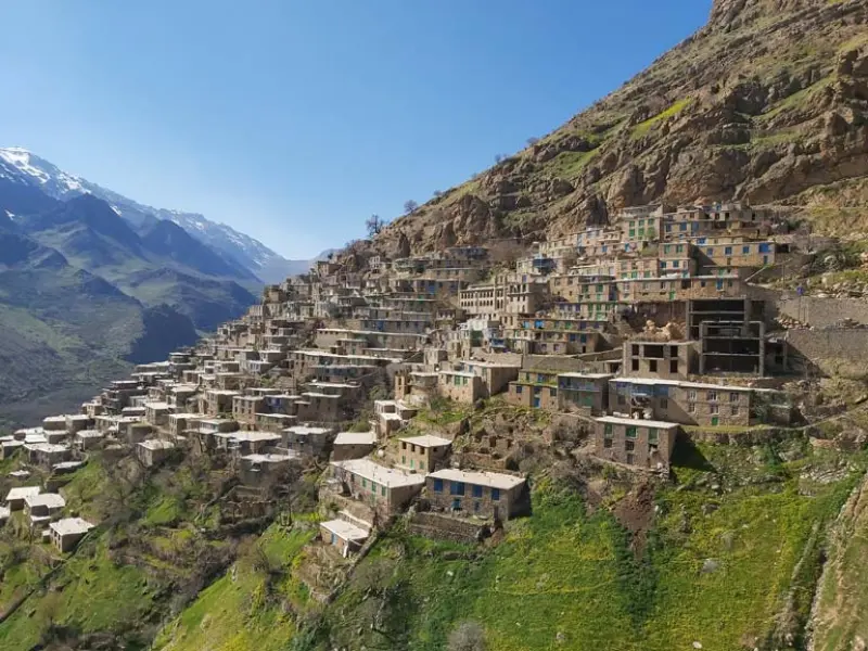
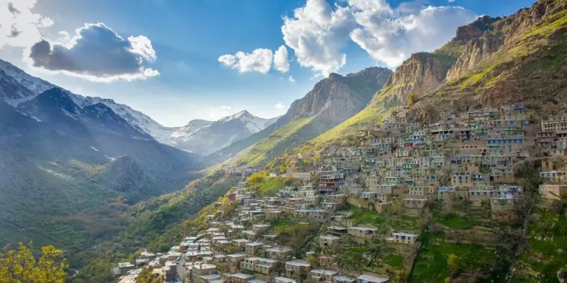
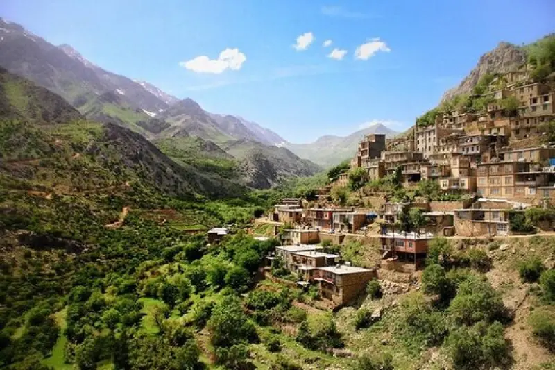
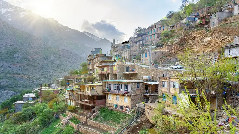
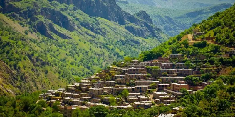
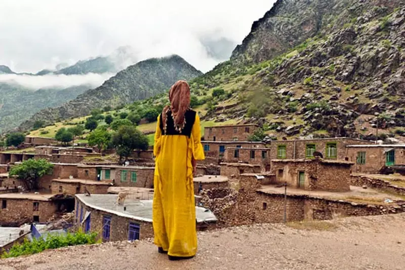
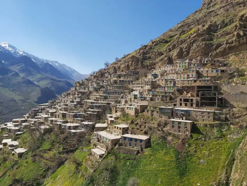
The terraced architecture of Uraman Takht and its striking houses gives the village a pyramid-like shape, with an ancient fortress at the top of the pyramid. The Uramanat region is a cultural area in western Iran, lying between the two provinces of Kurdistan and Kermanshah, with mountains and roaring rivers. These natural features have shaped valleys in which the people of Uramanat have lived for thousands of years in interaction with nature. This interaction can be seen in the terraced gardens, the terraced architecture of the havar (temporary seasonal camp) way of life, authentic festivals and rituals, the region's unique handicrafts, and more. The area includes more than 700 villages, towns and counties, among them Sarvabad, part of Sanandaj and Kamyaran in Kurdistan Province, and Paveh County in Kermanshah Province, while part of it lies in Sulaymaniyah Province in Iraq. Uramanat is Iran's 26th property inscribed on the UNESCO World Heritage List.
The climate of Uraman is mountainous. The region, regarded as one of the attractions near Marivan, has many springs and pastures. There are beautiful orchards on the slopes of the Uraman mountains, so that livestock herding, alongside orchard farming, is the main occupation of the people. Many different animal and plant species can be seen here. Oak, wild pistachio, walnut and fig are among the trees of the region, while rhubarb, artichoke, sorrel and other plants make up its vegetation. Besides being mountainous, this beautiful land has large, lush forests, where trees such as oak, hawthorn and wild pear stand tall and double the beauty of the area. The mountain climate and distinctive nature of the region make it pleasant to see Uraman's beauty in any season of the year. But it is natural to set Ordibehesht apart from the rest, because the dreamlike beauty of Uraman is doubled in Ordibehesht, and the sight of spring in this month in Uraman is incredible and enchanting.
Written by زهرا لنگری Last updated
Activities
What you can do here, and what it takes
-
Walking
کفش پیادهروی به همراه داشته باشید..
Specifications
Introduction of the location and specifications of Uramanat
Location:
Kurdistan, Uraman Takht
Coordinates:
35.25259990, 46.26239999
Open in maps
Height above mean sea:
1453 meter
Land Form:
Mountainous,
Floras:
Temperate Broadleaf and Mixed Forests
Faunas:
Presence of Predatory Animals, Presence of Allergenic Insects, Presence of Herbivorous Animals
Transports:
Private car, Walking
Native Languages:
Kurdish
Tourist Attractions in Kurdistan
Attractions that are nearby
Salin Village
Province Kurdistan
- Walking
- Rowing
- Fishing
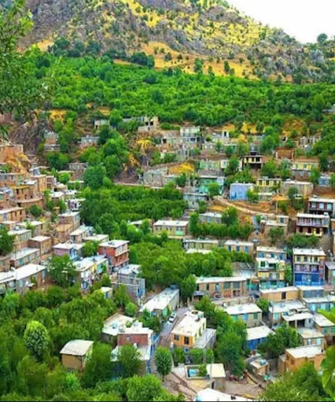
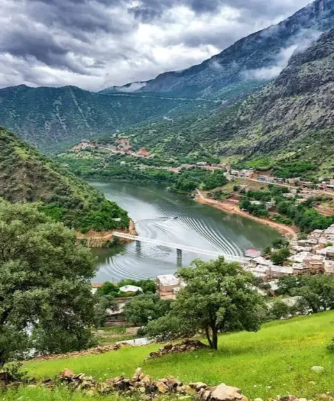
The Green Beauty of Hawraman Along the Sirvan River

Salur Waterfall
Province Kurdistan
- Walking
- Mountaineering
- Rock Climbing
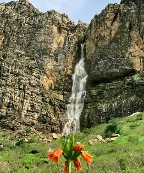
A magnificent waterfall in the heart of the Oramanat mountains
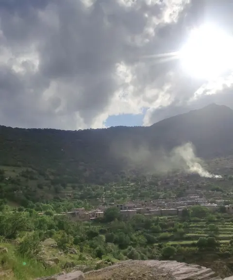
Kolji Village
Province Kurdistan
- Walking
- Mountaineering
A beautiful summer pasture village in the heart of Oramanat
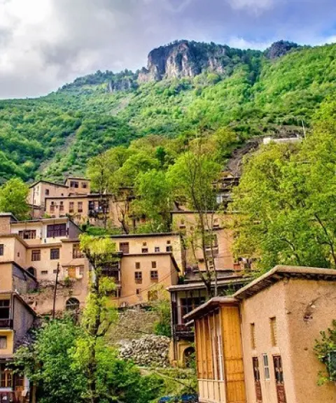
Hajij Village
Province Kermanshah
- Walking
- Mountaineering
A terraced village in the heart of the mountains
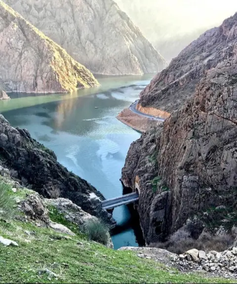

Darian Dam
Province Kermanshah
- Walking
- Rowing
- Rafting
Pristine nature meets modern engineering in the heart of the Zagros
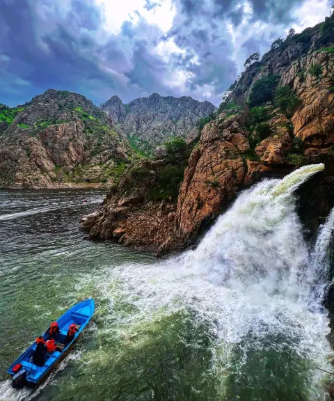
Bel Waterfall
Province Kurdistan
- Walking
- Rowing
Crystal-clear water gushing from the rocks of the Zagros
Related tags:
Unfortunately, no comments have been registered.