
 Mountain
- Ability level Advanced
- Routes 1 recorded route
Ability level:
Advanced
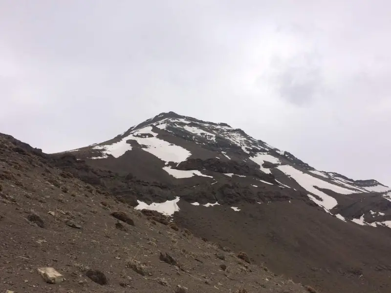
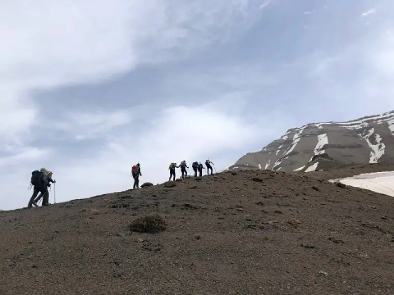
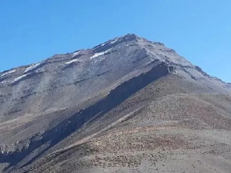
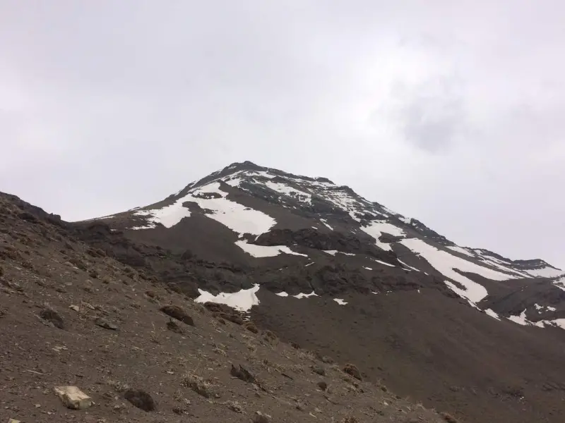
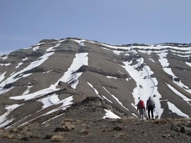
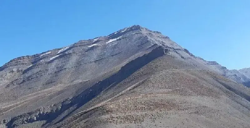
Lavarak Peak lies in the highlands north of Tehran, in the Tochal mountain range. It is one of the sources of the Kan River, and the views from the top are beautiful. If you stand on the ridgeline, Tochal Peak can be seen in the distance to the east, while to your west lies the famous Lat Pass. In the past, this pass was an important route between the Shahrestanak and Soleqan areas, and it is said that rice from the north was also carried to Tehran this way.
The names of the peaks and well-known points along Tochal's western ridge, which starts at Tochal Peak (3,950 m) and runs for more than 30 kilometres to the Chalus Road (Pol-e Khab), are as follows: Tochal Peak, Shahneshin Peak, Bazarak Peak, Lavarak Peak, the famous Lat Pass, Sehsang Peak, Manar Peak and the village of Morud. This ridge has a great deal of beauty and is considered an excellent place for climbers and nature lovers.
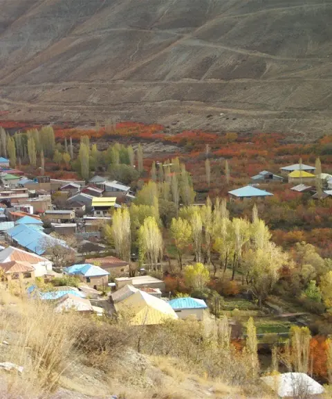
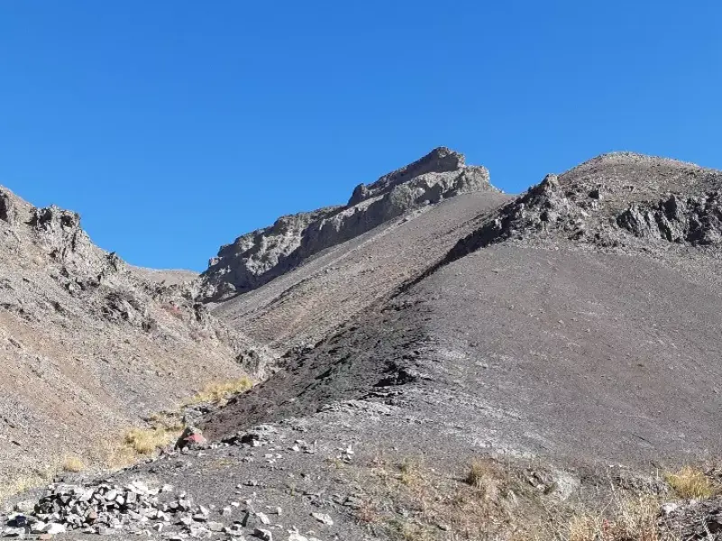
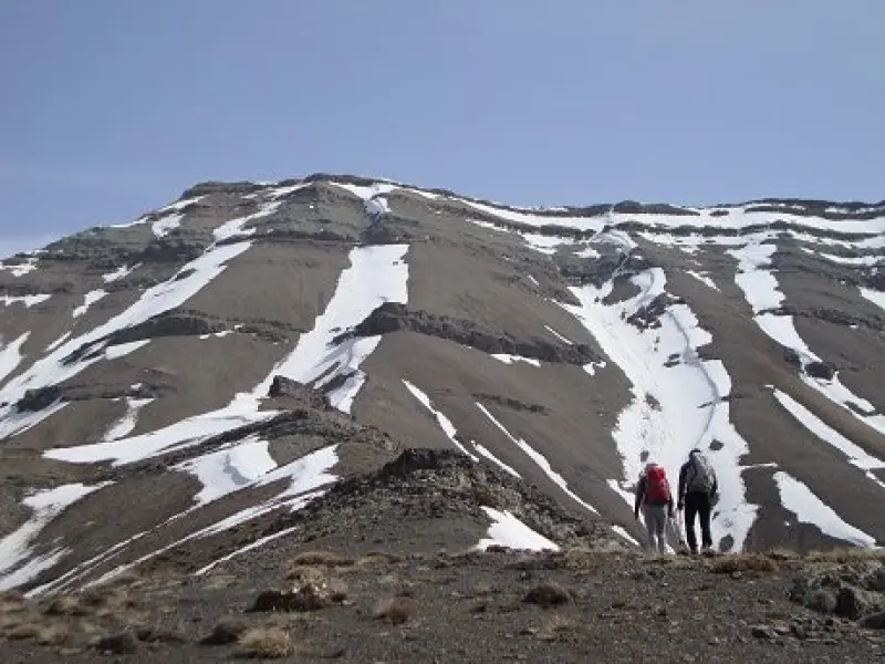
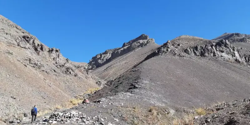
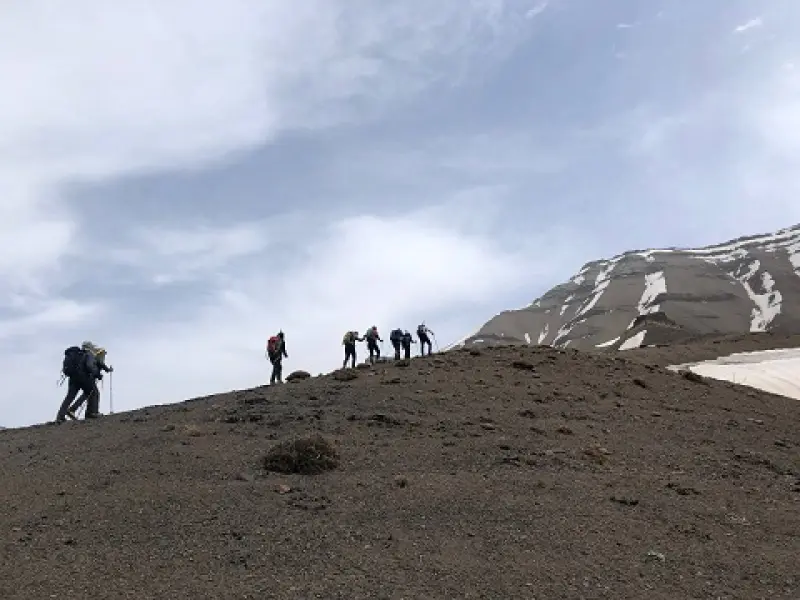
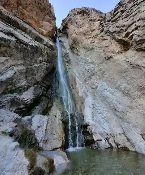
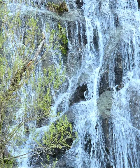
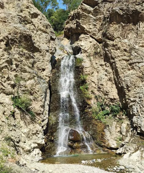
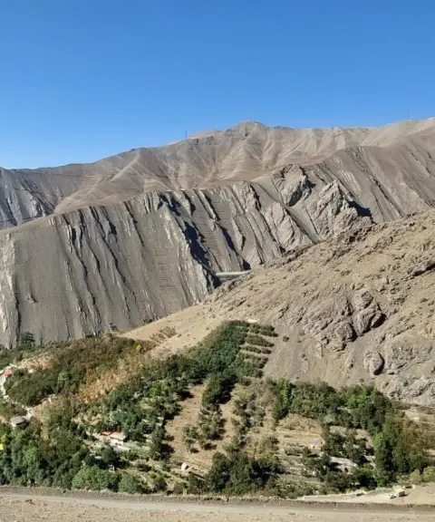
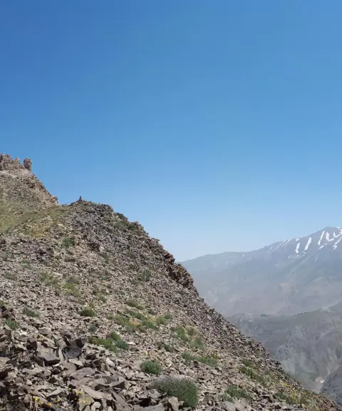
Randan is one of the mountain villages in the northwest of Tehran. To reach the peak, the road is asphalted as far as Randan village, and the distance covered on foot from the village to the summit is more than 10 kilometres. The Randan Waterfall is roughly 45 minutes from the start of the village, and a river flows on your right along the way. Before the Randan Waterfall there is a wooden staircase and a fork; the left branch leads to Lavarak Peak. Along the route you will see many meadows, where rhubarb grows in summer, and in some seasons the gol-par plant, wild sour cherry shrubs and mountain almond shrubs can be found. There is also a straight, long ridge up to the peak, steep and rocky in places, and climbing equipment is needed to ascend it.
Written by زهرا لنگری Last updated
Activities
What you can do here, and what it takes
-
Mountaineering
تجهیزات کوهنوردی همراه داشته باشید.
-
Walking
پیمایش کل مسیر 22 کیلومتر است.
Specifications
Introduction of the location and specifications of Lavarak Peak
Location:
Tehran, Tehran
Coordinates:
35.93308891, 51.33307099
Open in maps
Height above mean sea:
3560 meter
Land Form:
Mountainous, Mountain
Floras:
Temperate Grasslands
Faunas:
Presence of Predatory Animals, Presence of Allergenic Insects, Presence of Herbivorous Animals
Transports:
Private car, Walking, Only with technical climbing equipment
Tourist Attractions in Tehran
Attractions that are nearby


Randan Waterfall
Province Tehran
- Walking
- Mountaineering
The second-highest waterfall near Tehran, set in the lush valleys of Kan and Soleqan
Shahneshin Peak
Province Tehran
- Mountaineering
- Walking
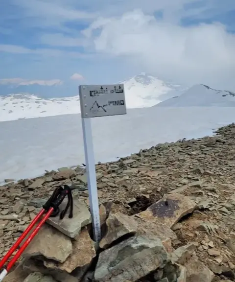
A magnificent climb along the northern Alborz ridgeline
Randan Village
Province Tehran
- Walking
- Mountaineering
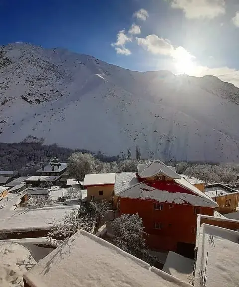
A cool mountain village on the slopes of the Alborz and the unspoiled nature of Soleqan
Talun Village
Province Tehran
- Walking
- Mountaineering
A mountain village in the heights of the Alborz
Related tags:
Unfortunately, no comments have been registered.