
 Mountain
Ghaleh Dokhtar Peak
A Historic Summit of the Central Alborz
- Mountain
- Tehran, Fasham
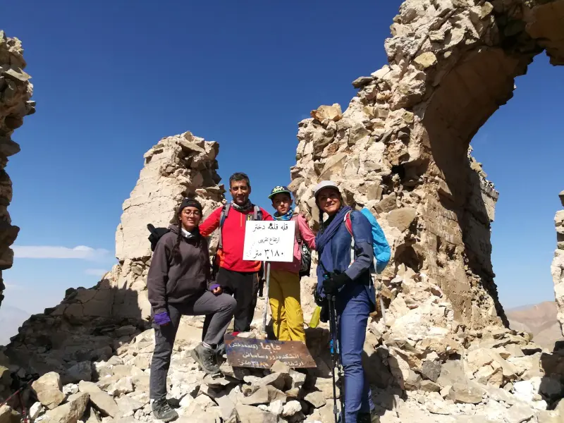
- Altitude 3,180 m
- Ability level Intermediate
- Routes 1 recorded route
Ability level:
Intermediate
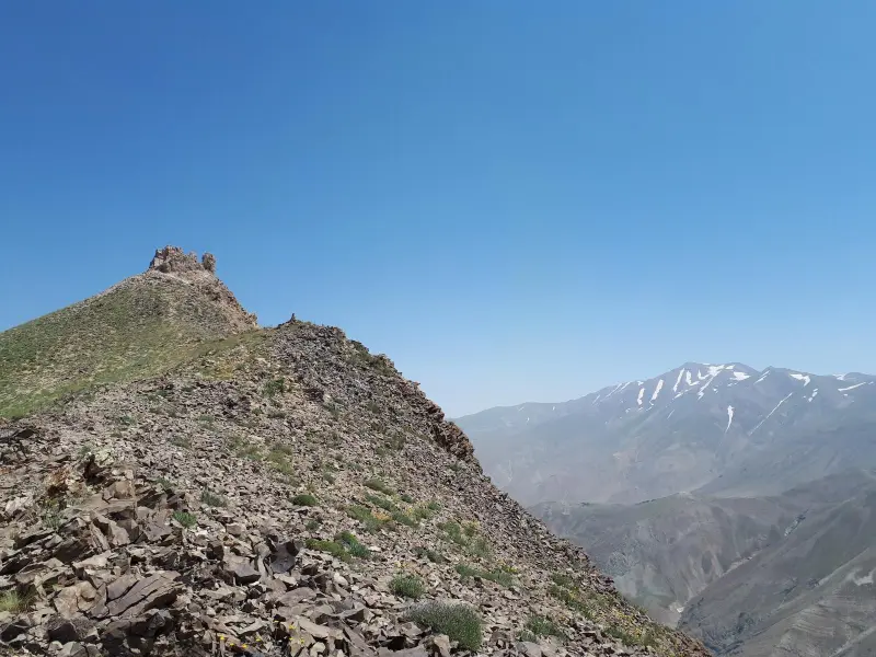
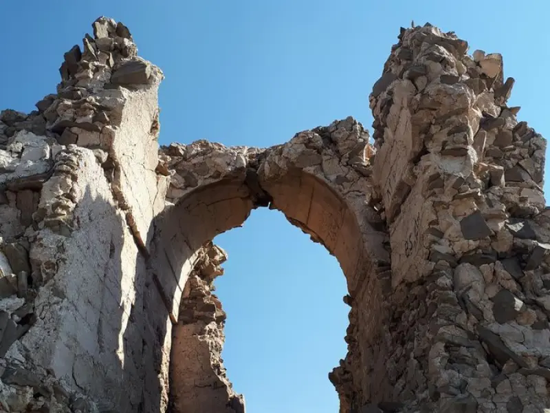
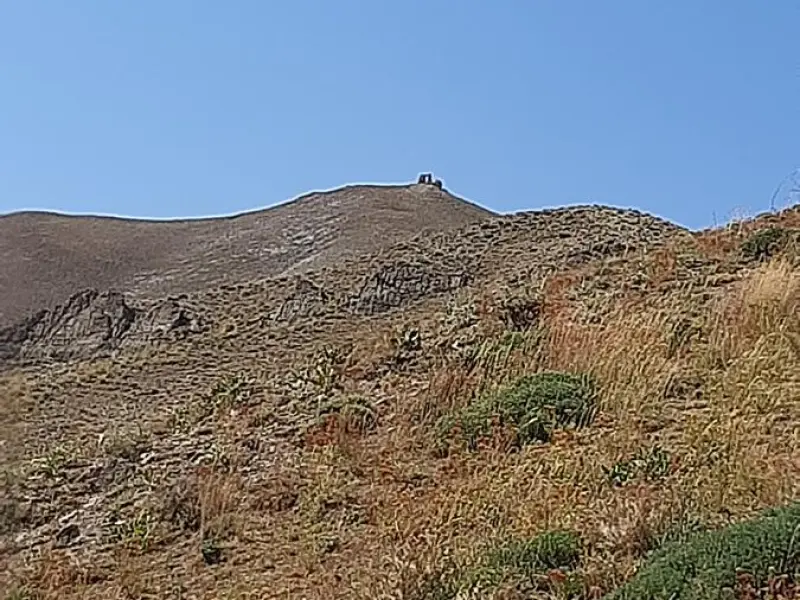
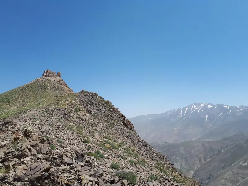
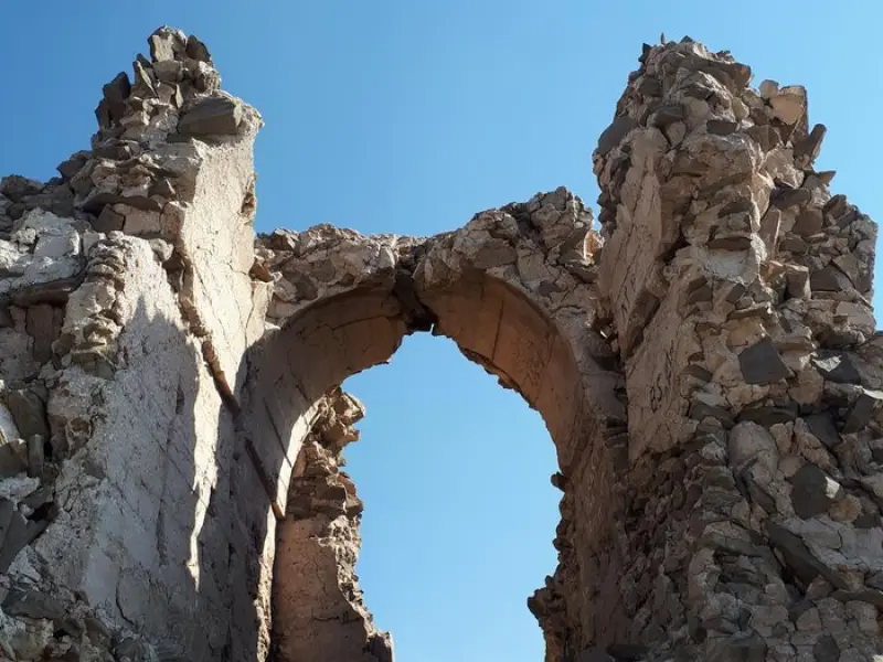
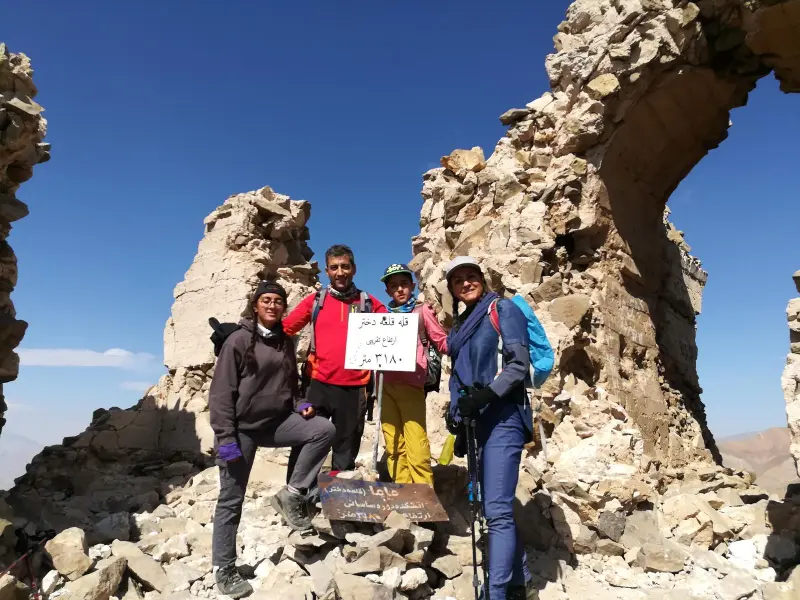
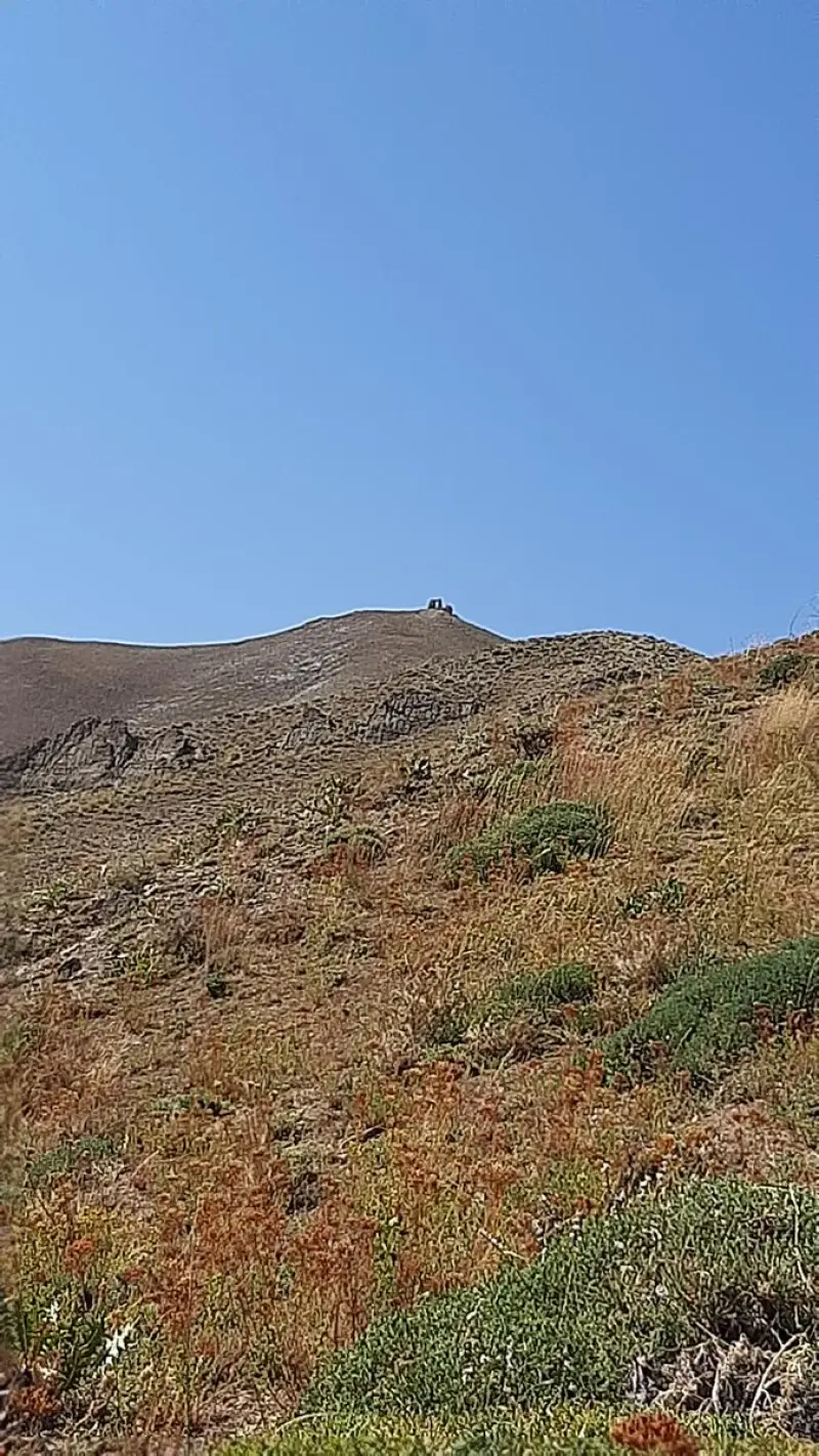
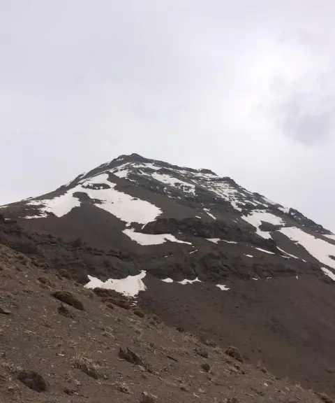
Ghaleh Dokhtar Peak is a well-known summit in Shemiranat County, Tehran Province, in the Central Alborz range. It stands on the border between Shemiranat and Karaj County. The peak lies in the Rudbar-e Qasran district and is regarded as part of the ridgeline of the mountains around the villages of Shahrestanak and Ahar. Its approximate elevation is reported as between 3,145 and 3,180 meters above sea level, depending on the source, which places it among the region's notable heights. The name "Ghaleh Dokhtar" (Maiden's Castle) comes from the remains of a historic lookout structure or fortress on top of the peak, which reflects the importance of watch and guard posts in the region's past.
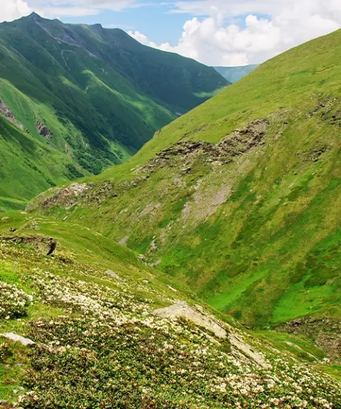
Climbing Ghaleh Dokhtar Peak is a popular light mountaineering and nature outing for people from Tehran and Karaj. The usual routes start from the village of Shahrestanak or Ahar. Along the way, climbers pass slopes covered in pasture plants and beautiful valleys, and enjoy wide views over the Central Alborz. The climb is usually done as a one-day trip and suits climbers with moderate experience.
To reach Ghaleh Dokhtar Peak, drive from Tehran toward the Chalus Road and take the Shahrestanak exit, then follow a mountain footpath that leads to the ridgeline and the summit. The best time to visit is from spring to early autumn, when the weather is milder and the trails are better suited to hiking. Following mountaineering safety principles and practicing responsible nature tourism are essential to preserve the area's natural beauty. This means carrying suitable equipment and enough water, respecting the vegetation, and not leaving any litter behind.
Written by ستایش عرب Last updated
Activities
What you can do here, and what it takes
-
Mountaineering
پیمایش پاکوبهای منتهی به خطالرأس قلعه دختر برای کوهنوردان با تجربه متوسط ایدهآل است.
-
Walking
دامنههای اطراف مسیر تا گردنههای میانی برای پیادهروی طبیعتگردی مناسب هستند.
Specifications
Introduction of the location and specifications of Ghaleh Dokhtar Peak
Location:
Tehran, Fasham, Ahar Village
Coordinates:
35.96176874, 51.40521704
Open in maps
Height above mean sea:
3180 meter
Floras:
Semi-arid mountainous
Faunas:
Presence of Predatory Animals, Presence of Herbivorous Animals
Transports:
Private car, Walking, Minibus, Bus
Tourist Attractions in Fasham
Attractions that are nearby

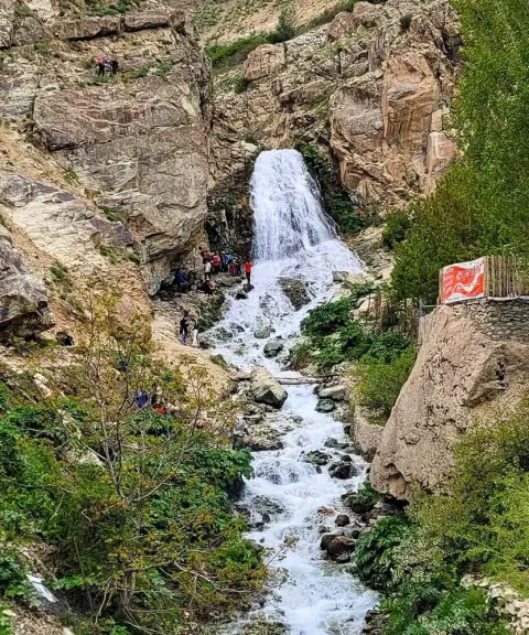
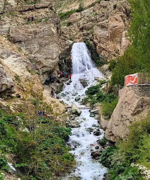
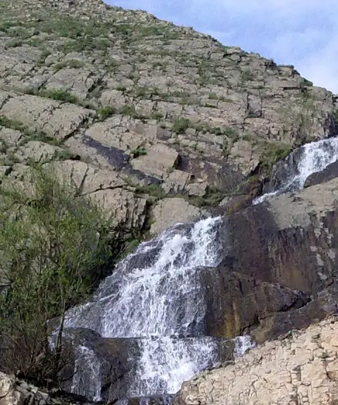
Ahar Waterfall
Province Tehran
- Walking
- Swimming
Cool, lush nature in the heart of the Alborz Mountains
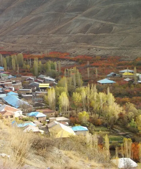


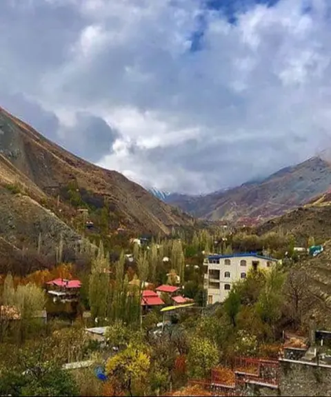
Ahar Village
Province Tehran
- Walking
- Mountaineering
- Cycling
A Paradise in the Heart of the Central Alborz
Unfortunately, no comments have been registered.