
 Waterfalls
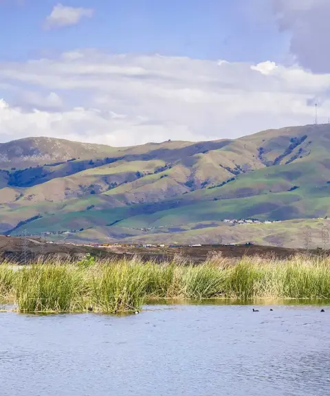

Gerd Zarrin Wetland
Province West Azerbaijan
- Walking
The Highest Waterfall in Urmia
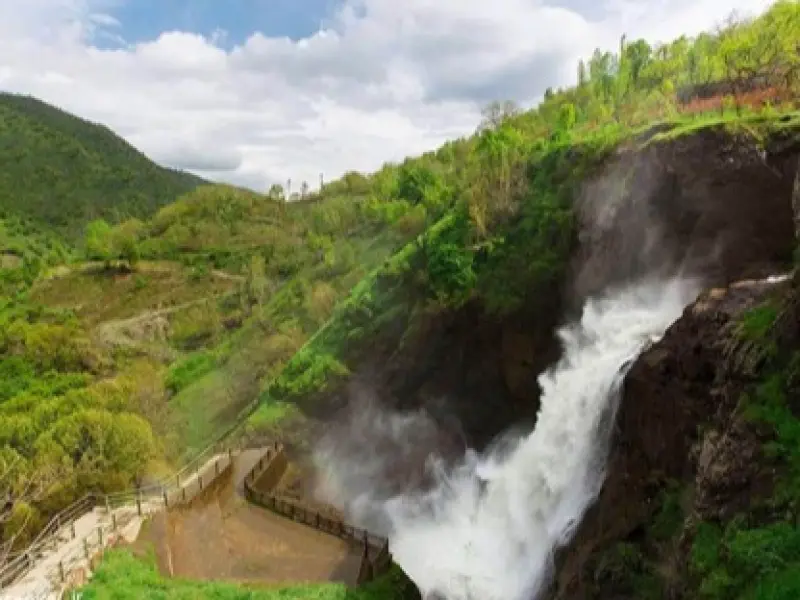
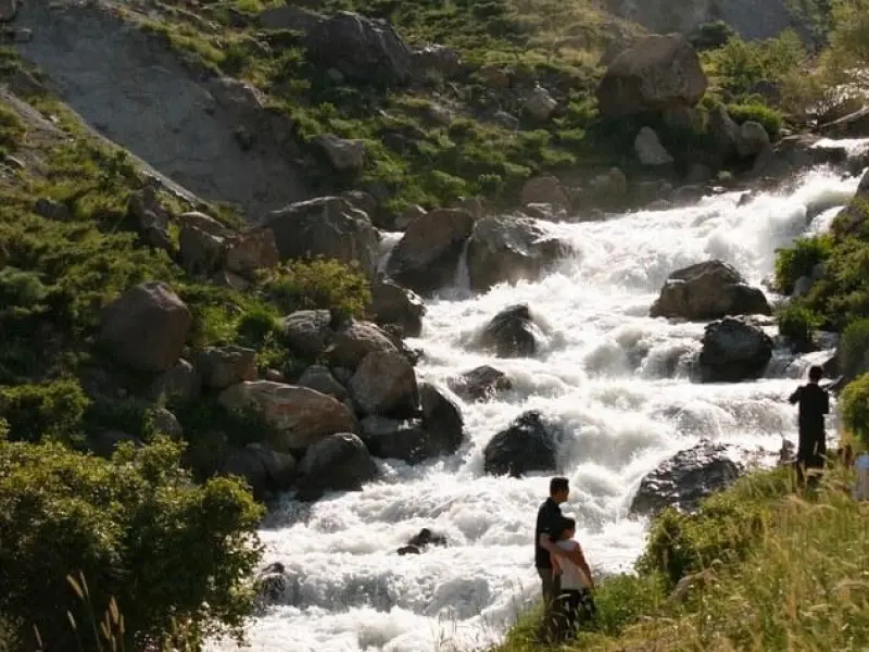
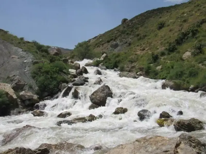
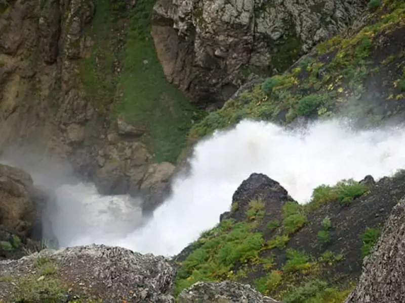
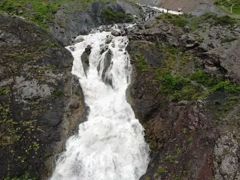
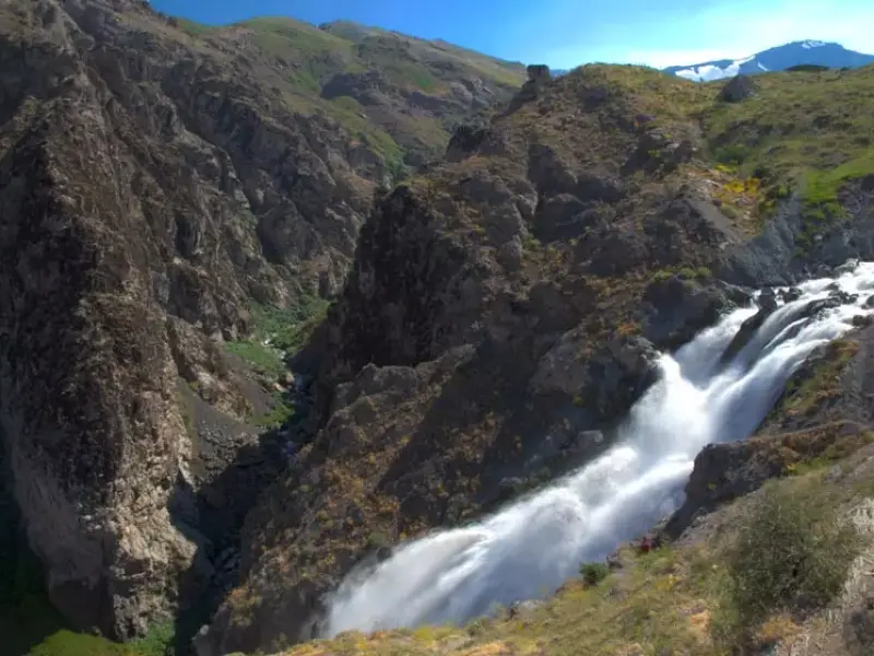
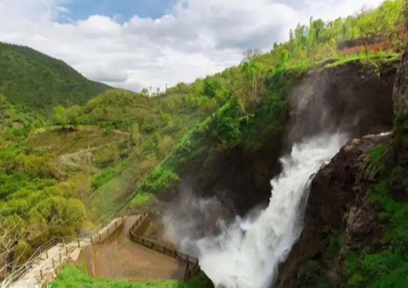
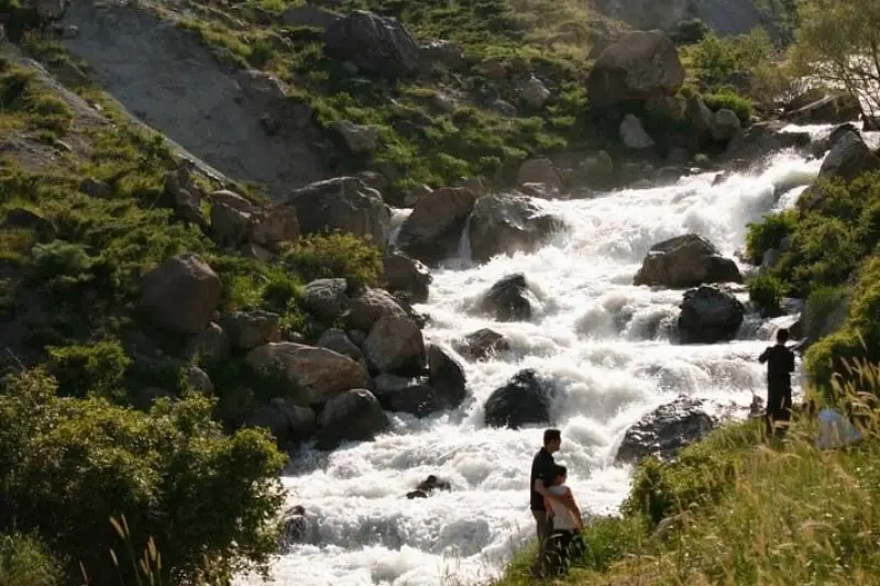
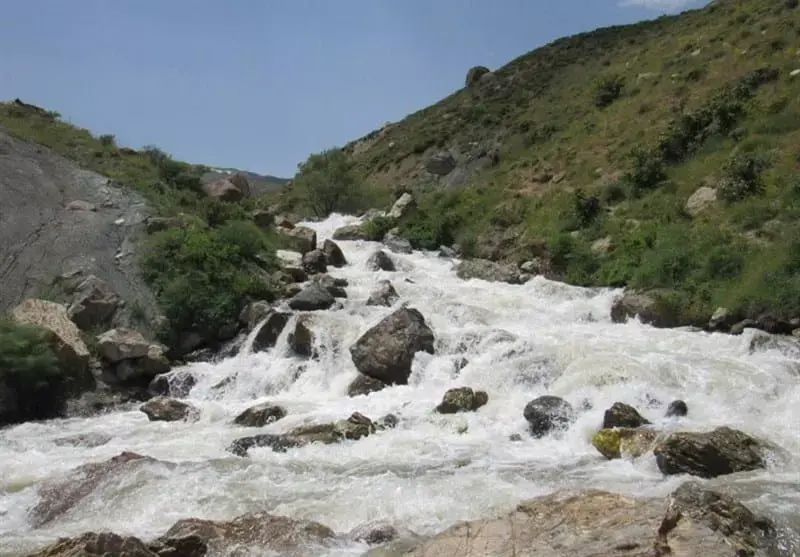
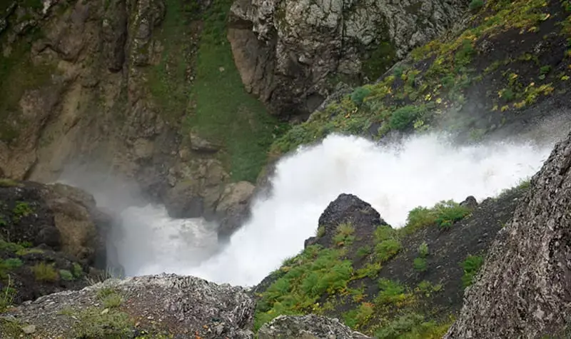
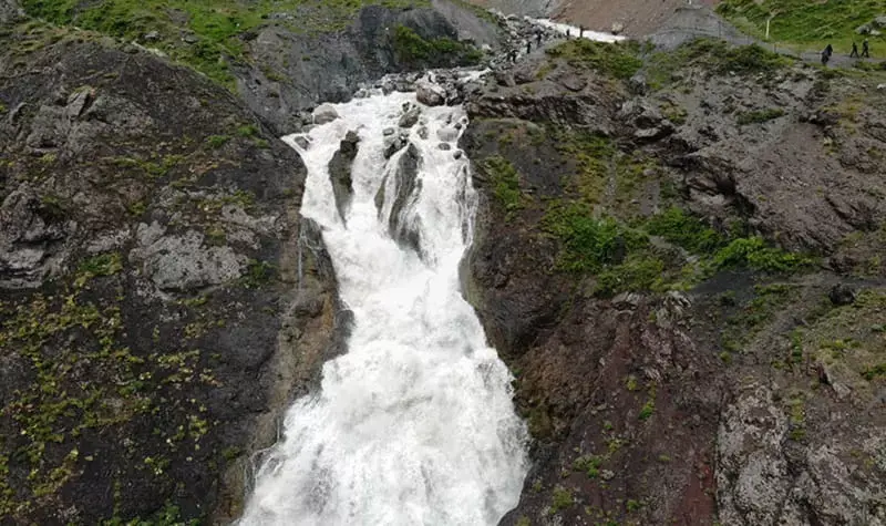
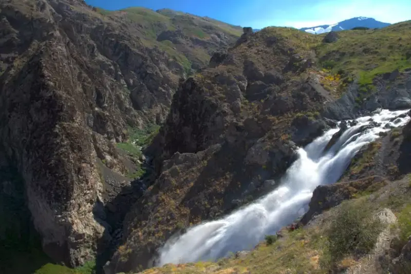
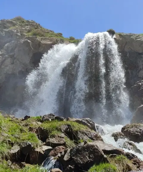
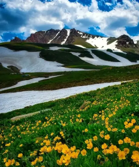
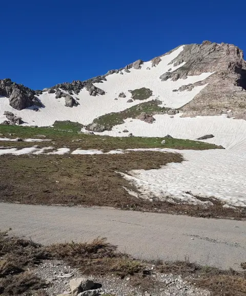
Suleh Dokul Waterfall, also spelled Suleh Dogol, is one of the most beautiful natural attractions of Urmia County and of northwestern Iran, and is counted among the headwaters of the Baranduz Chay River. It is one of the most unique and most abundant waterfalls in Iran. It is very tall, and its water pours down from a distance of 3487 metres. The meltwater of snow on the surrounding mountains is among the sources that feed the waterfall. Suleh Dokul Waterfall lies near Suleh Dokul village, the last village in Iran in the Iran–Turkey border region, in a rugged, hard-to-access valley below the snow-capped Mount Dalamper, whose name means "the place where eagles fly". The mountain is more than 3,000 metres high and stands close to Iran's border with Iraq and Turkey. It is considered one of the most pristine areas of Iran.
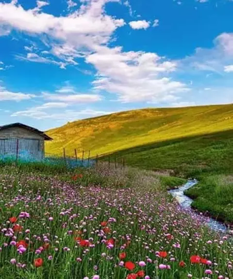
The region is very rich in flora and fauna. Around the lake there are many different kinds of plants and trees, including oak, willow, plane, ash, barberry, blackberry, mushrooms and wildflowers. Astragalus (gavan), wild almond and wild sour cherry make up the vegetation of the area. The waterfall is a habitat for many kinds of animals, including eagles, wolves, the Kurdistan newt, foxes, wild goats, various kinds of hares, various kinds of snakes and other rodents.
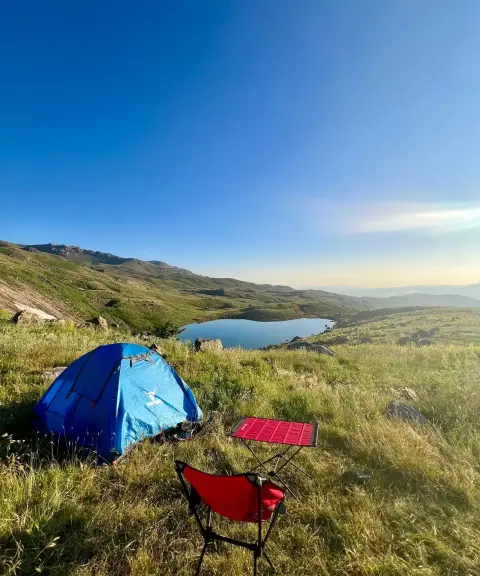
The best season to visit the beautiful Suleh Dokul Waterfall is spring, when the winter snow is melting and the waterfall carries its greatest volume of water. In some months of the year you can see nomads near the pastures around Suleh Dokul Waterfall. The access route to the waterfall becomes very rough and difficult in the colder months, in autumn and winter. Because Suleh Dokul Waterfall is close to the zero-point border zone and sits in unspoiled nature, there is no hotel or lodging nearby. Keep in mind that, because of the rocks and boulders, there is also no suitable place to camp or sit right next to the waterfall. We suggest bringing camping equipment such as a travel tent, sleeping bag and ground mat, so that you can pitch your tent a little below the waterfall, in the surrounding nature and meadows, and spend a night outdoors. Alternatively, you can use the guesthouses in the surrounding villages.
Written by ستایش عرب Last updated
What you can do here, and what it takes
کفش مناسب پیادهروی به همراه داشته باشید.
Province West Azerbaijan
Province West Azerbaijan
Province West Azerbaijan
Province West Azerbaijan
Province West Azerbaijan
Province West Azerbaijan


Unfortunately, no comments have been registered.