
 Mountain
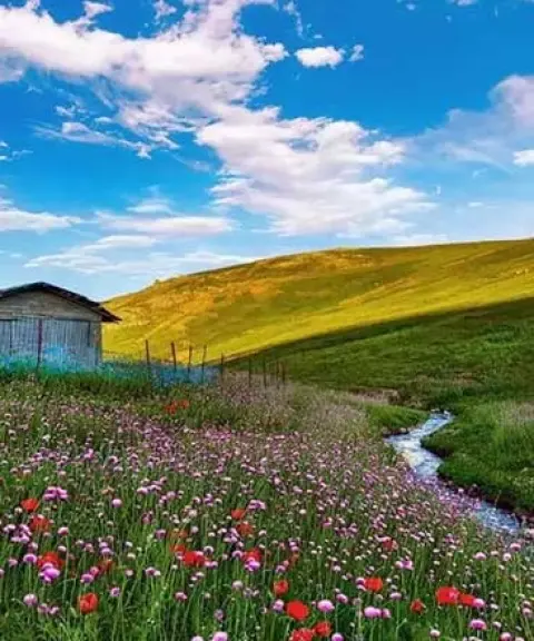

Dalamper Summer Pasture
Province West Azerbaijan
- Walking
- Mountaineering
A Tri-Border Summit in West Azerbaijan
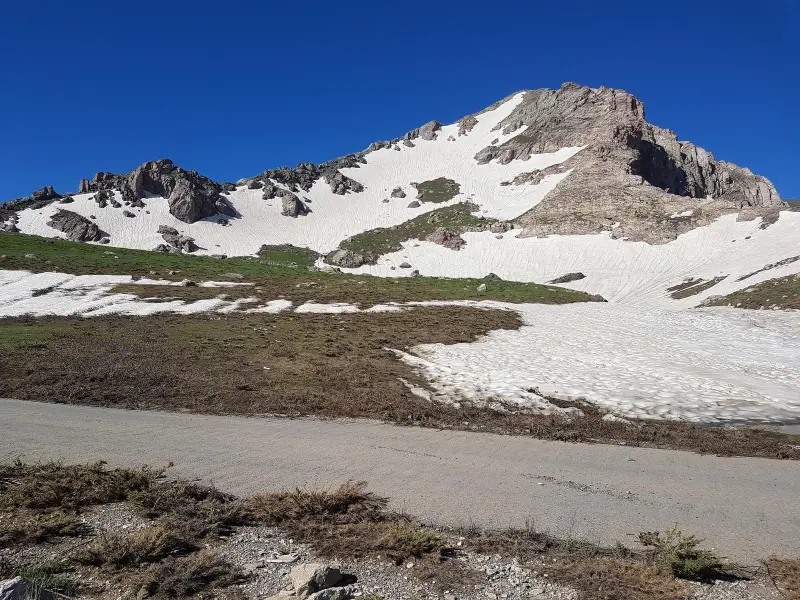
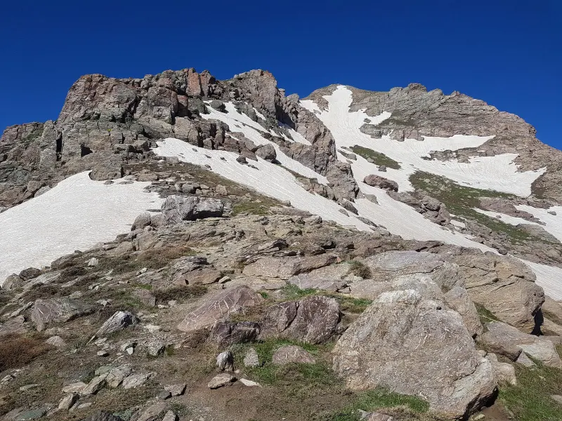
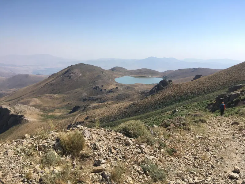
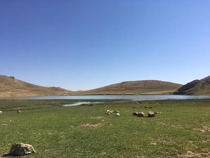
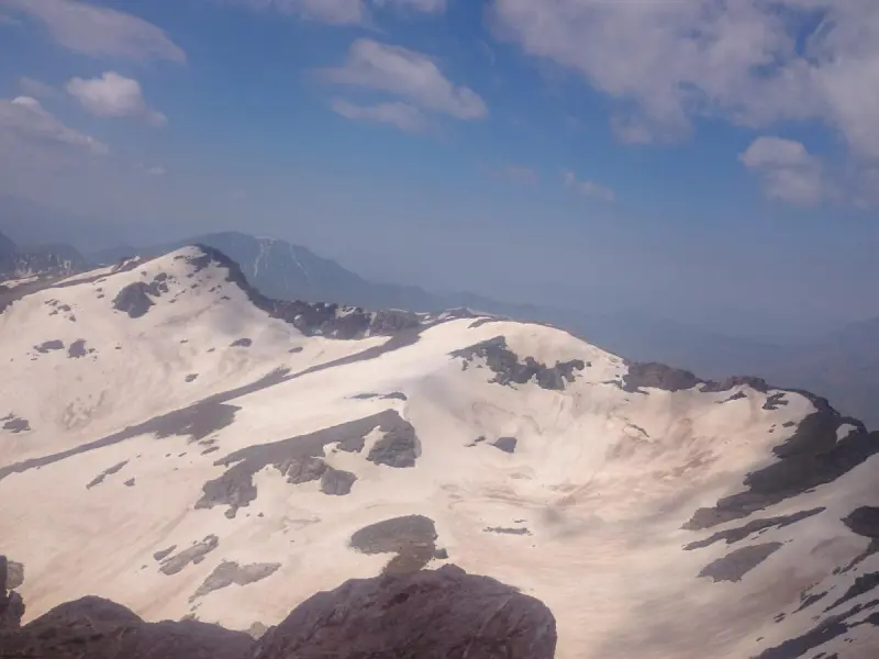
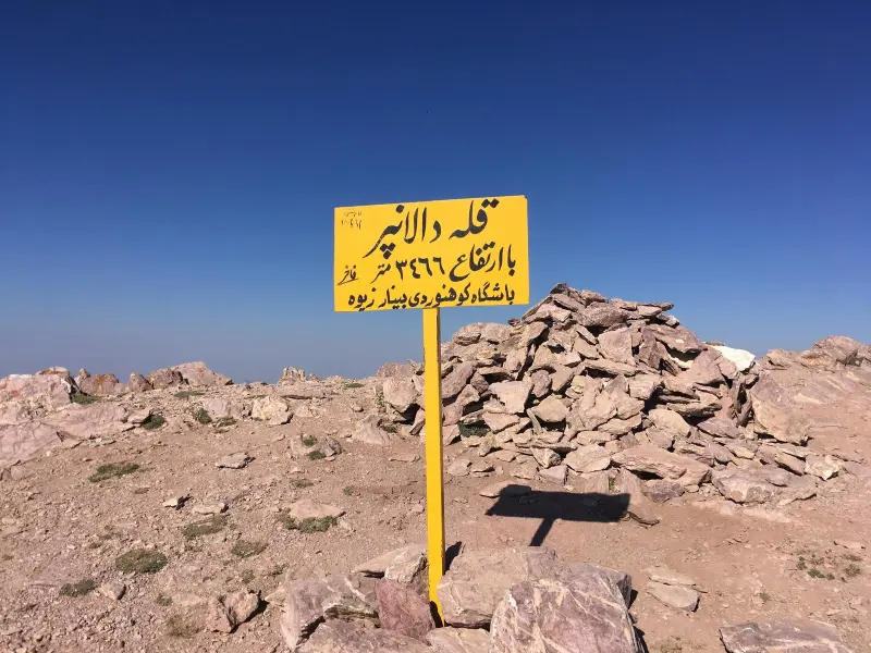
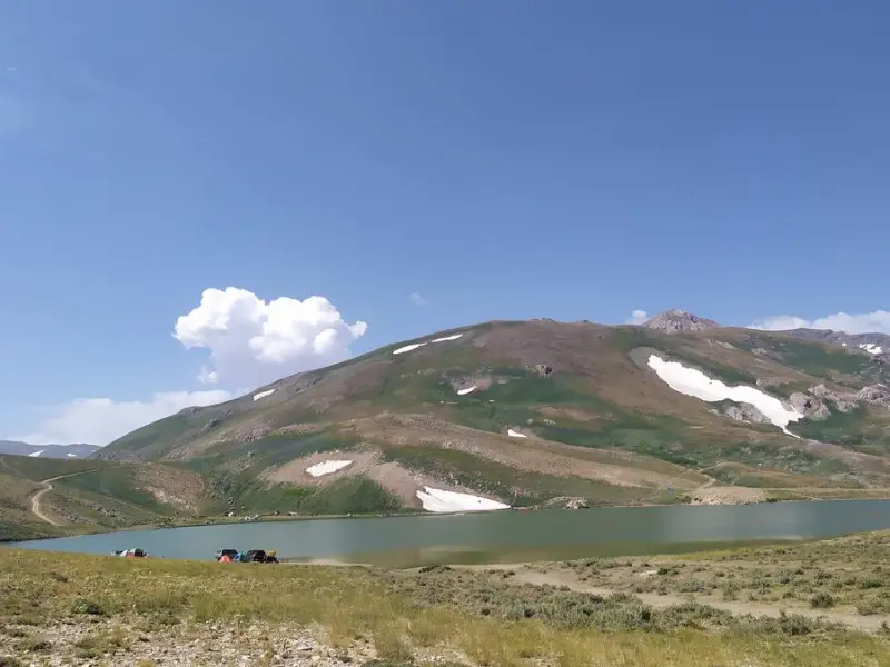
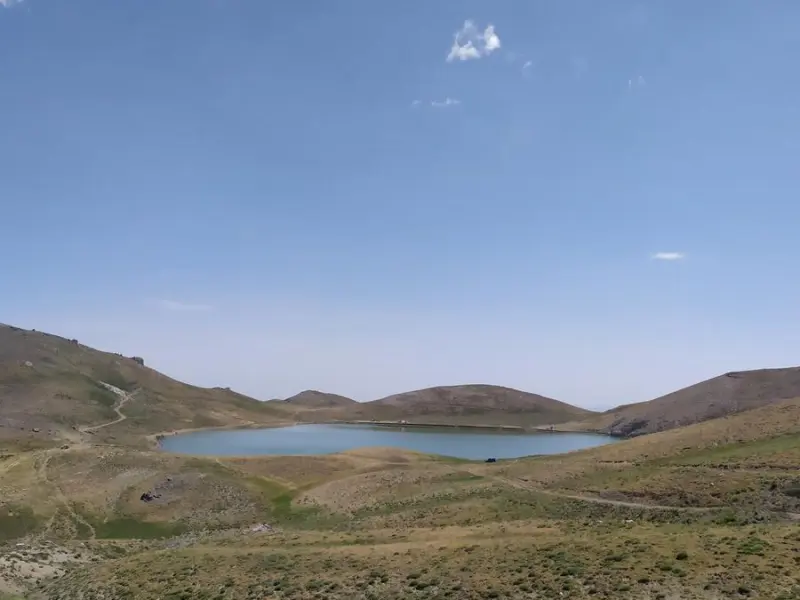
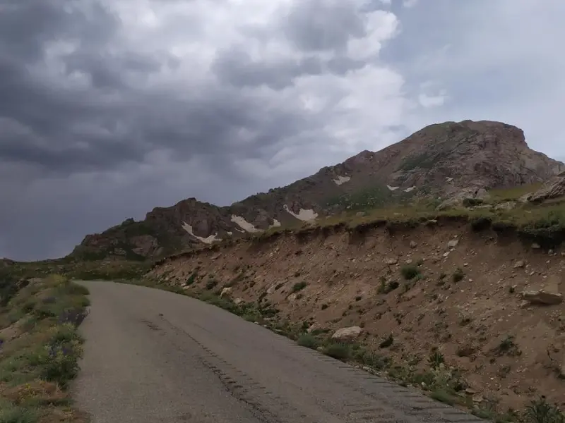
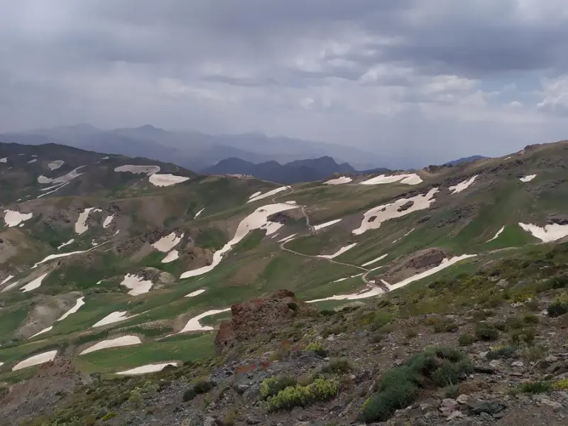
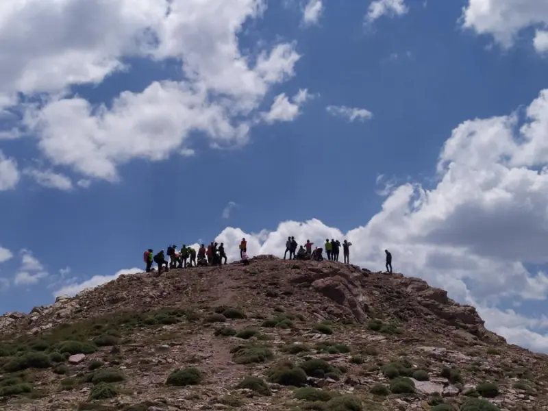
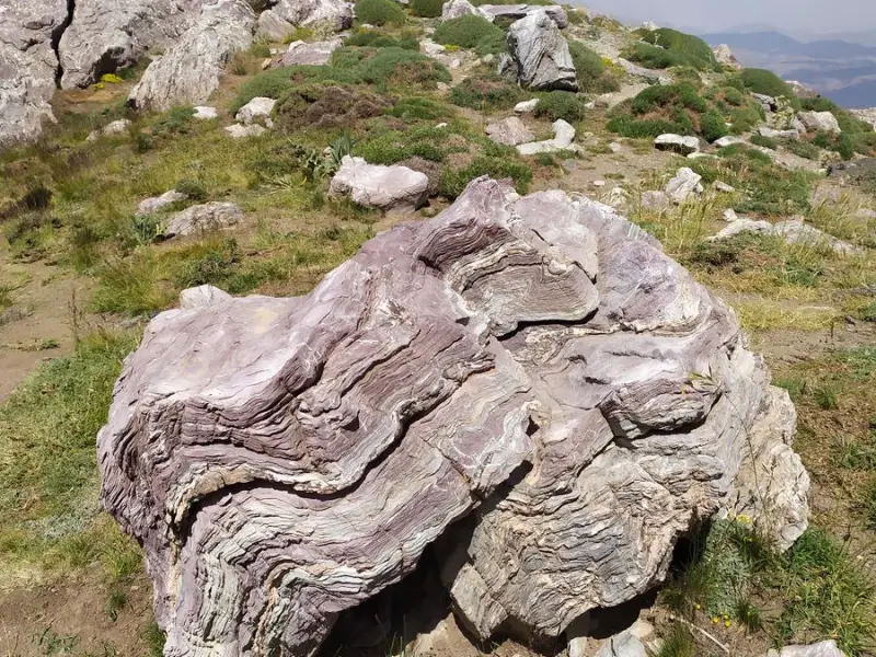
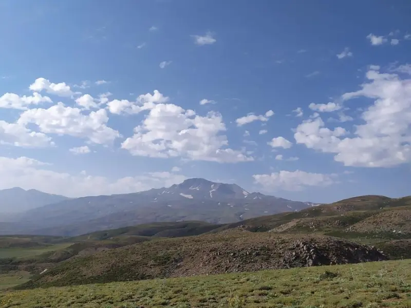
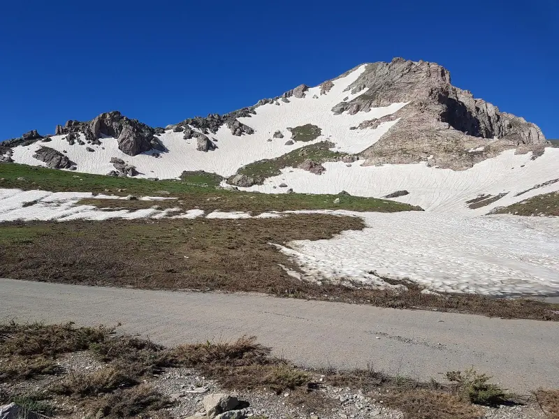
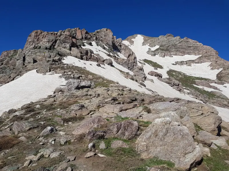
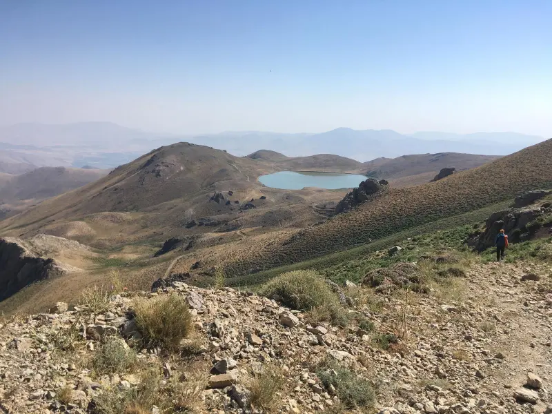
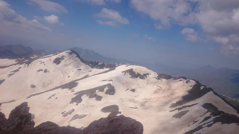
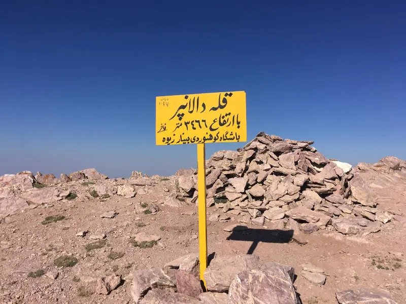
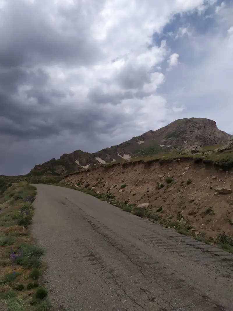
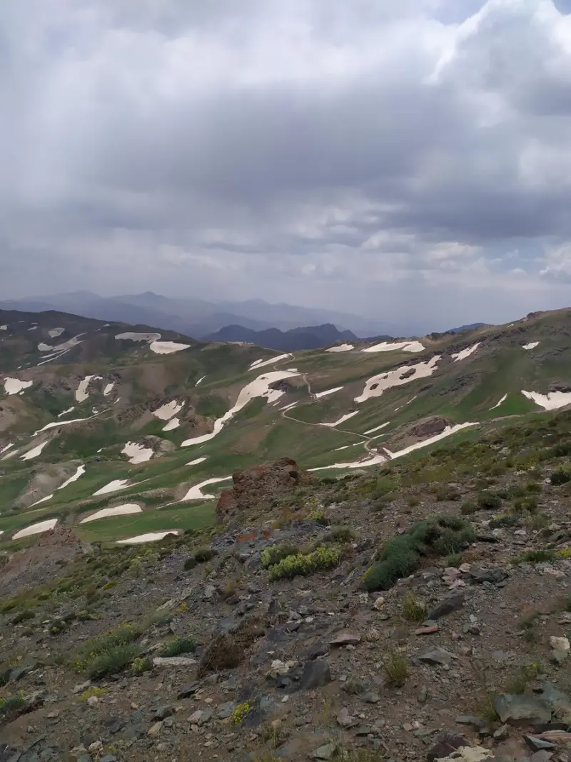
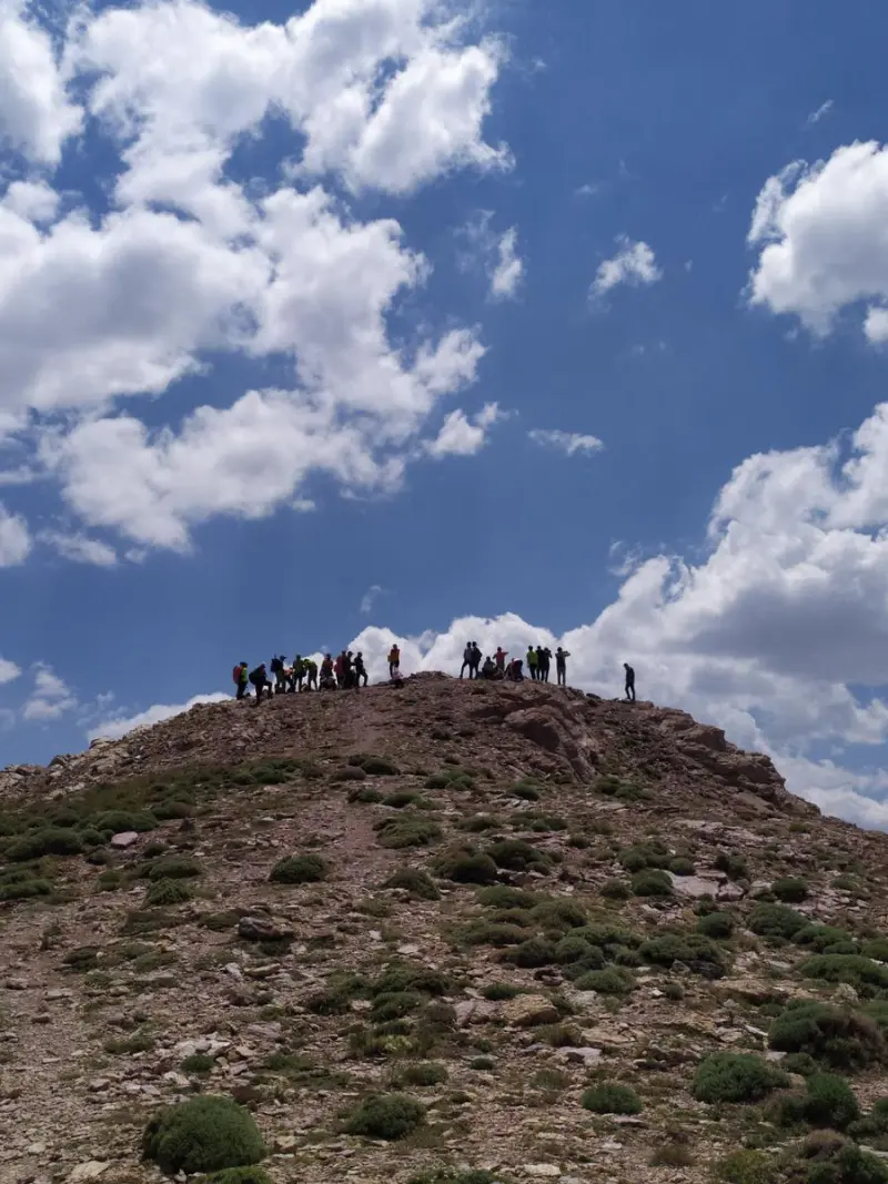
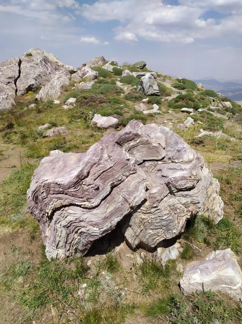
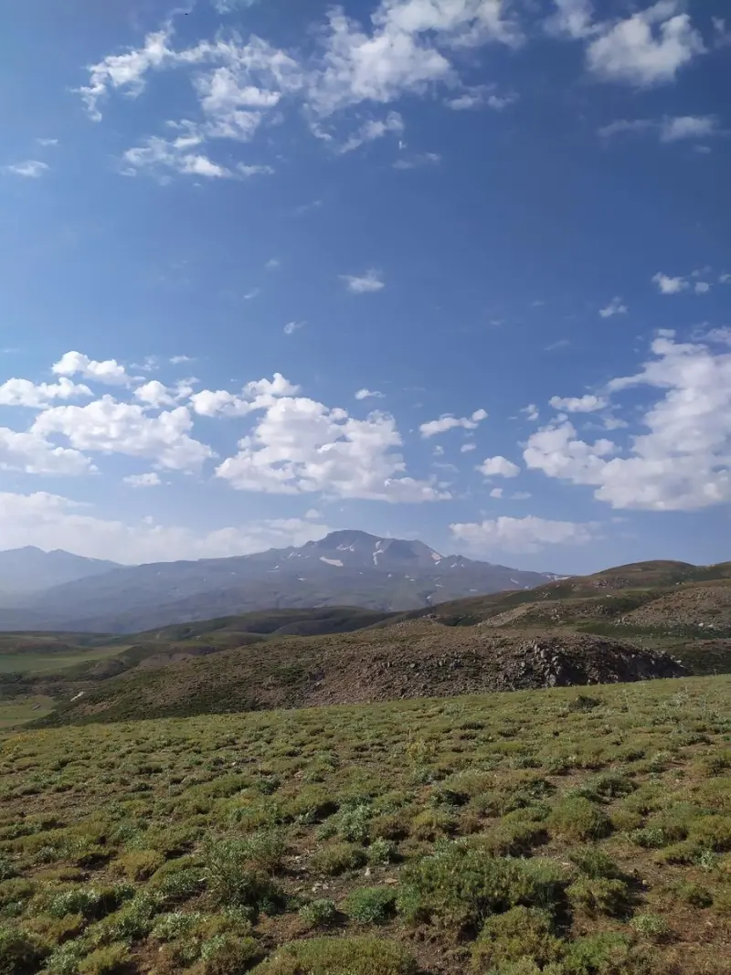
Dalamper Peak (sometimes spelled "Dalanpar") is one of the most prominent and highest peaks in West Azerbaijan Province, in Oshnavieh County. It lies in the Silvana mountain region, on the shared border of Iran, Iraq and Turkey. The peak is counted among the best-known summits of northwestern Iran, and from its top you can see the land of all three countries in a single frame, a feature that makes the area geographically and strategically special. The peak's elevation is estimated at about 3,450–3,466 meters above sea level.
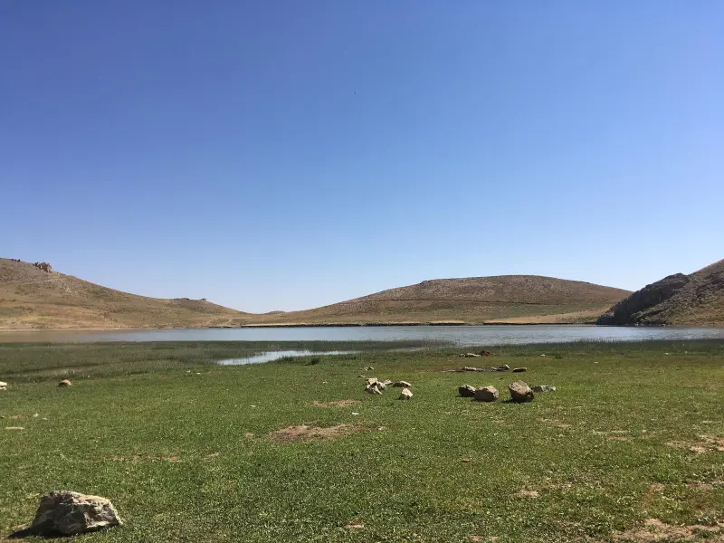
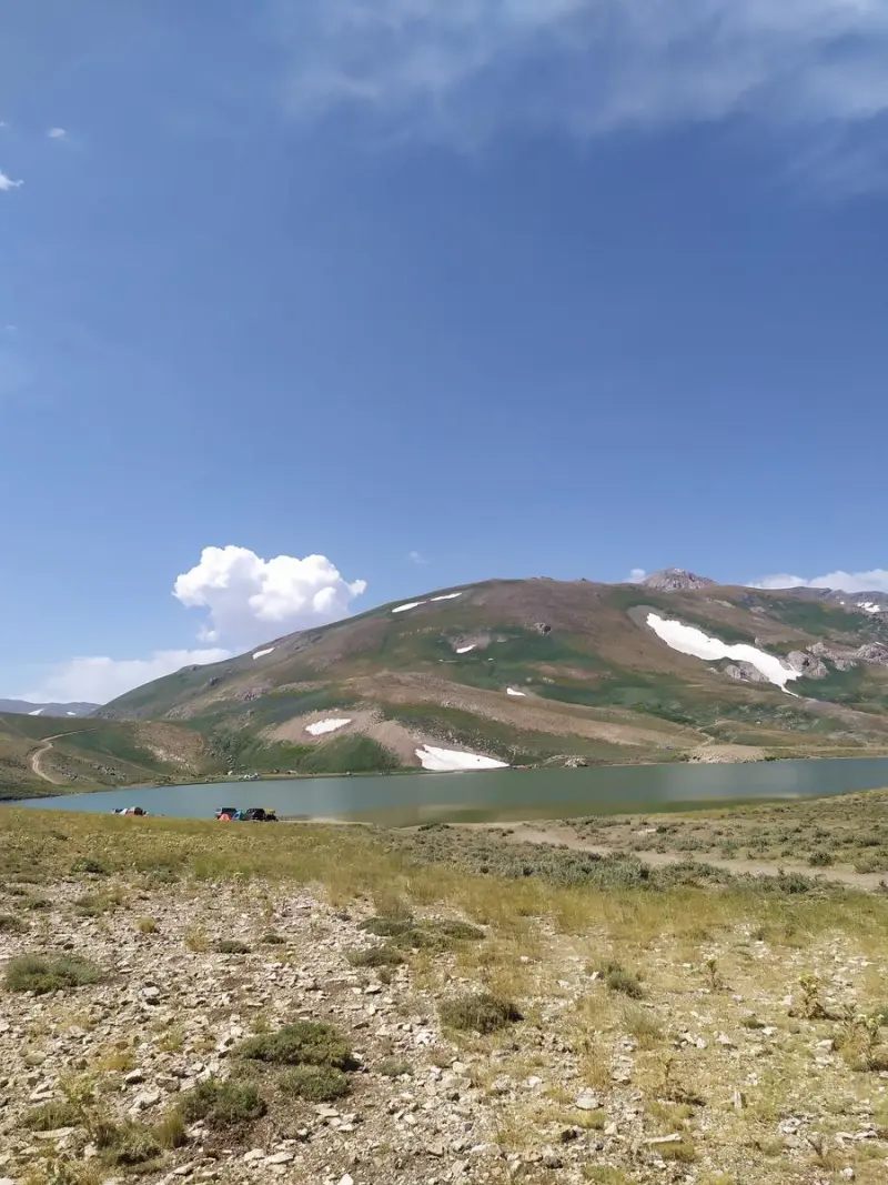
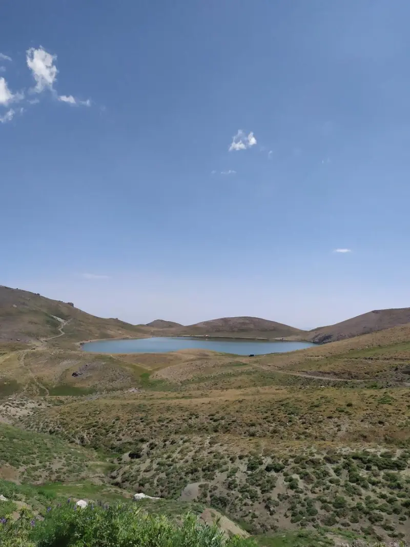
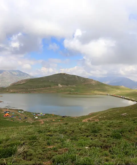
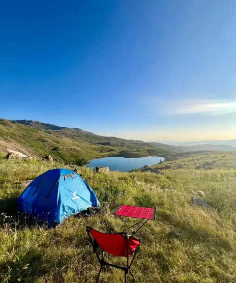
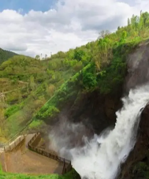
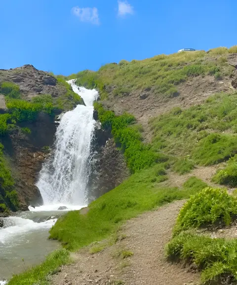
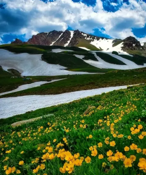
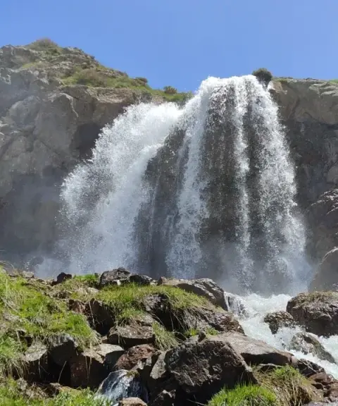
With its varied natural scenery, including mountain lakes, springs, ancient glaciers, rivers and snow-covered heights, as well as its diverse wildlife, the Dalamper area is one of the nature tourism and mountaineering destinations of western Iran. The highlands of this area are also known as the "Alps of Iran" and attract visitors in summer with their cool climate.
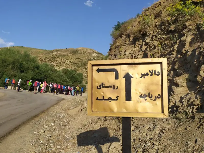
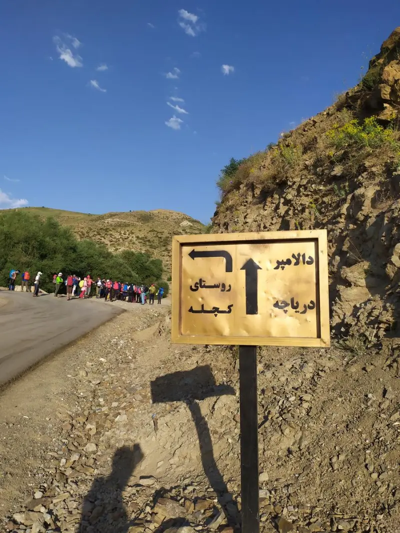
To reach Dalamper Peak, you usually set out from the city of Oshnavieh or Urmia. After arriving at the village of Kachaleh or Soleh Dokol (Dalamper Camp), the hiking route begins. These routes generally include sections of mountain footpath, a passage past Dalamper Lake and the surrounding springs, and finally the ascent to the summit. The best time for climbing is from spring to early autumn, as the weather is more favorable and the routes are more accessible. Throughout your visit, it is essential to follow responsible nature tourism principles, including protecting vegetation, collecting your litter and respecting the ecosystem.
Written by ستایش عرب Last updated
What you can do here, and what it takes
مسیرهای پاکوب از روستای کچله و اطراف دریاچه دالامپر برای صعود تا قله فراهم است.
بخشهای پاییندست مسیر و اطراف دریاچه برای پیمایش سبک و لذت از طبیعت مناسبند.
Province West Azerbaijan
Province West Azerbaijan
Province West Azerbaijan
Province West Azerbaijan
Province West Azerbaijan


Unfortunately, no comments have been registered.