
 Attractions
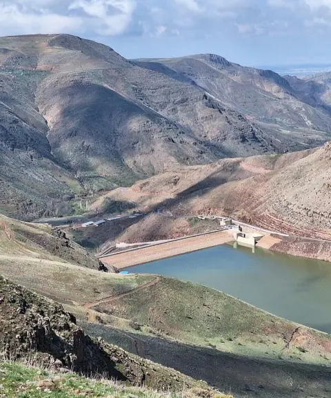

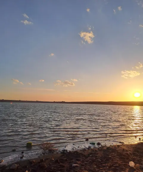
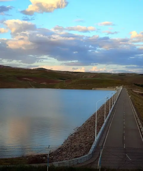
Qaleh Chai Dam
Province East Azerbaijan
- Walking
- Fishing
A red-hued terraced village on the slopes of the Bonab mountains
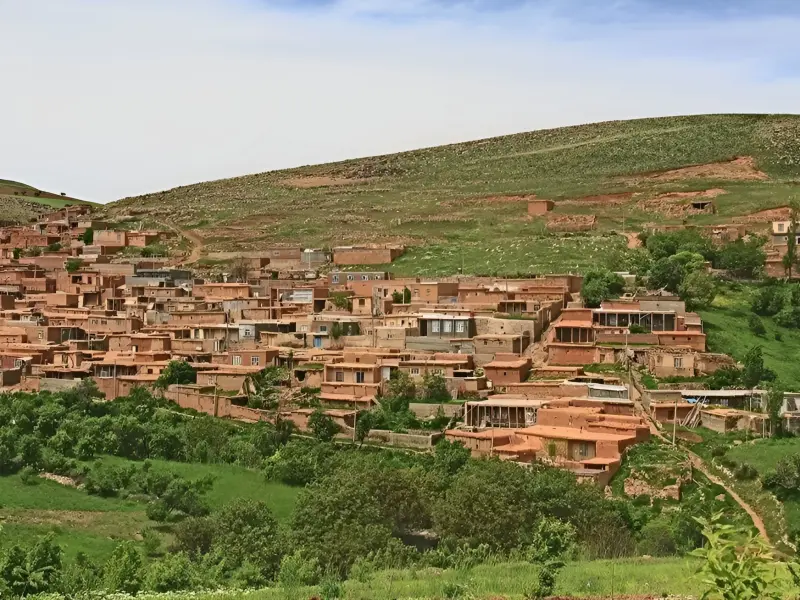
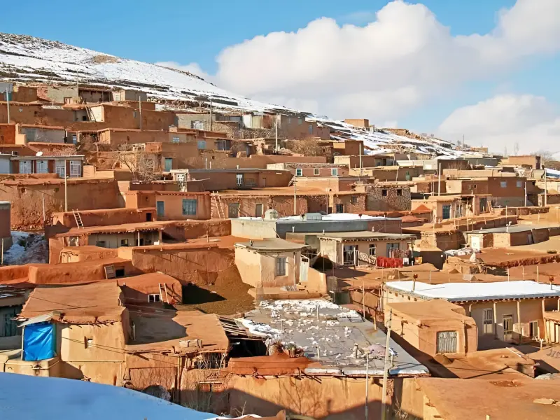
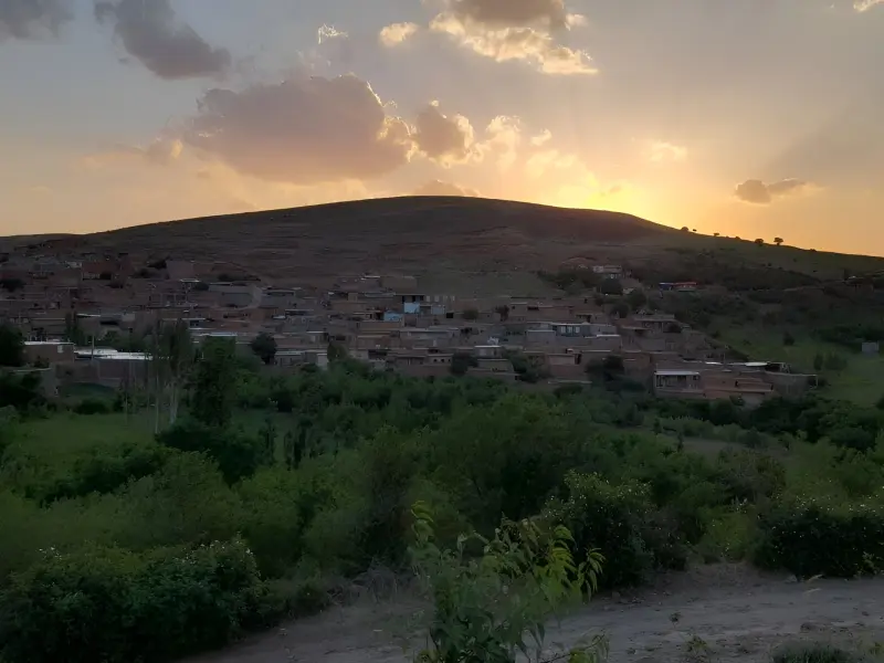
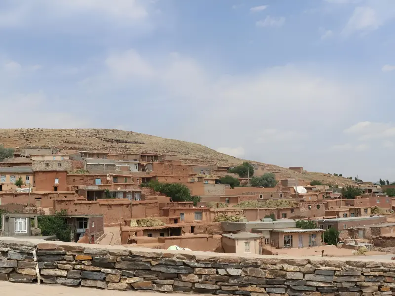
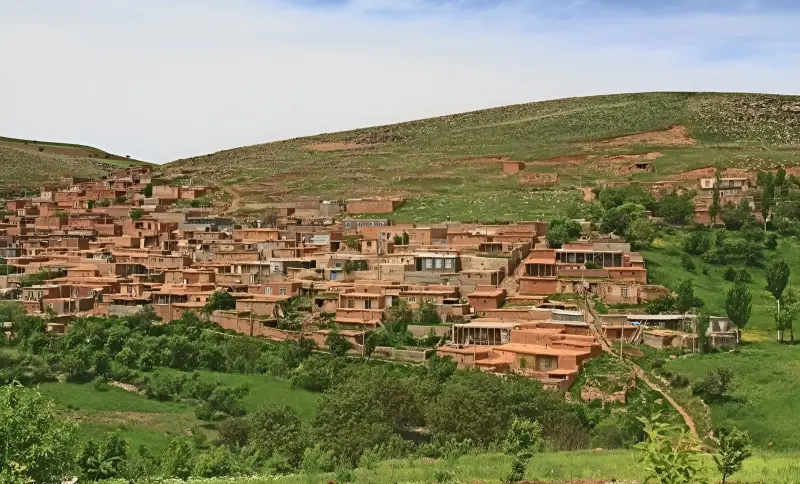
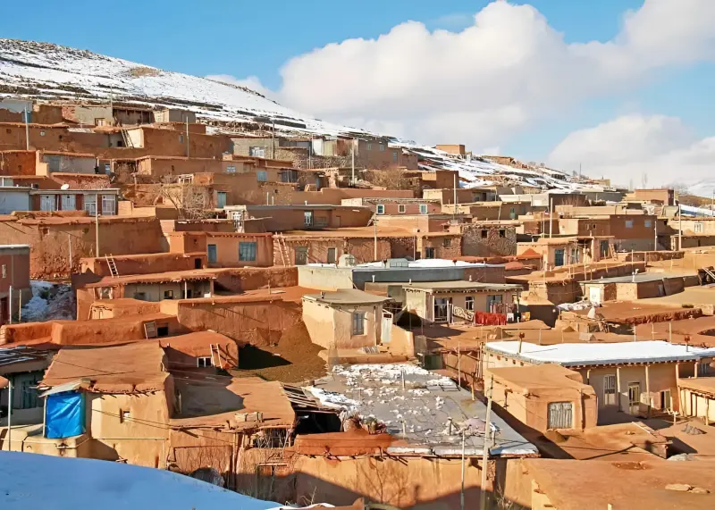
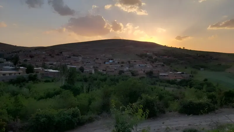
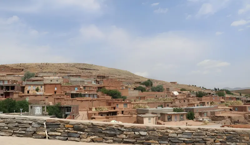
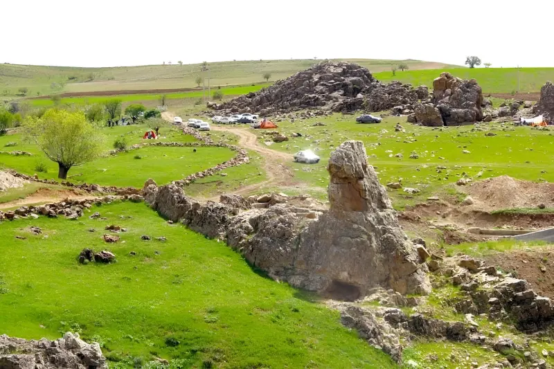
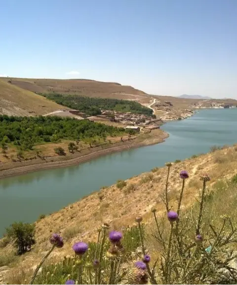
Totakhaneh (also written Toteh-Khaneh) is a village in the Central District of Bonab County, East Azerbaijan Province, located in Banajuy-ye Shomali Rural District. The village has grown up on the slopes of the surrounding mountains, and its houses are built in terraces along the natural incline of the mountainside. This layout gives the village a unique look and has made it one of the region's standout destinations for village tourism. Totakhaneh lies roughly 15 to 23 kilometres from Bonab and about 137 to 145 kilometres from Tabriz. Because of its mountainous setting, it has a mild mountain climate.
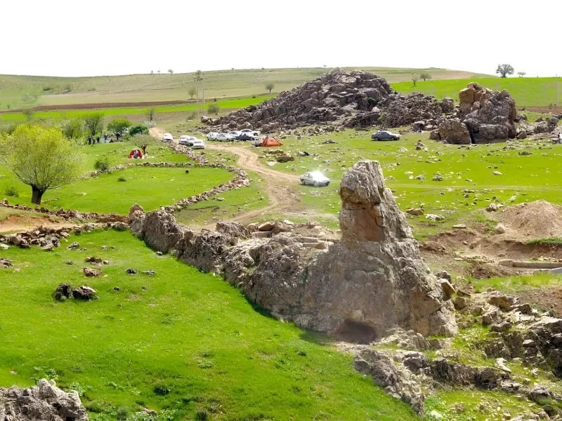
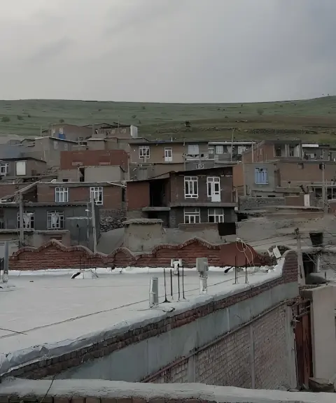
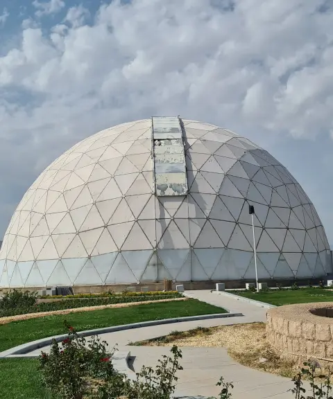
Totakhaneh's most important feature is its terraced architecture, which follows the natural slope of the mountain. The houses are built along the hillside, and the village fabric is closely tied to the surrounding nature. To cope with the region's cold, many houses have small doors and windows. Another notable feature of the village is the use of mica soil on the exterior of buildings, which gives parts of the houses a red colour. Around Totakhaneh you will see mountain landscapes and lush pastures, and farming and animal husbandry play a part in the villagers' lives. Well-known local products include dried fruits and nuts, pulses and carpets, and local dishes such as qurut-qeyleh ash and doymaj are popular among the residents. Nearby attractions include the Sur Rock Cave, Takht-e Shaytan, the Maragheh Observatory Crypt, Alavian Dam and the Panj-Cheshmeh Bridge. The Sur Rock Cave lies about five kilometres from Totakhaneh and has stone walls and pits that were once used to store water.
Totakhaneh can be reached via the city of Bonab. The village has a mild mountain climate, while its winters are cold and snowy, so spring and summer are the best times to visit. In these seasons the surrounding landscape is greener and the weather is more favourable for walking and exploring the village. When visiting, travellers should avoid entering farmland without permission, damaging vegetation, leaving litter and disturbing the residents.
Written by زهرا لنگری Last updated
What you can do here, and what it takes
مسیرهای داخل بافت پلکانی روستا و دامنههای اطراف برای پیادهروی و گشتوگذار در طبیعت مناسب هستند.
مسیرهای جادهای و کوهستانی اطراف توتاخانه برای دوچرخهسواری مناسب هستند.
دامنههای کوهستانی اطراف روستا برای پیمایشهای سبک و کوتاهمدت مناسب هستند، مشروط بر آنکه از مسیرهای ایمن و شناختهشده استفاده شود.
Province East Azerbaijan
Province East Azerbaijan
Province East Azerbaijan
Province East Azerbaijan
Province East Azerbaijan
Province East Azerbaijan
Province East Azerbaijan

Unfortunately, no comments have been registered.