
 Mountain
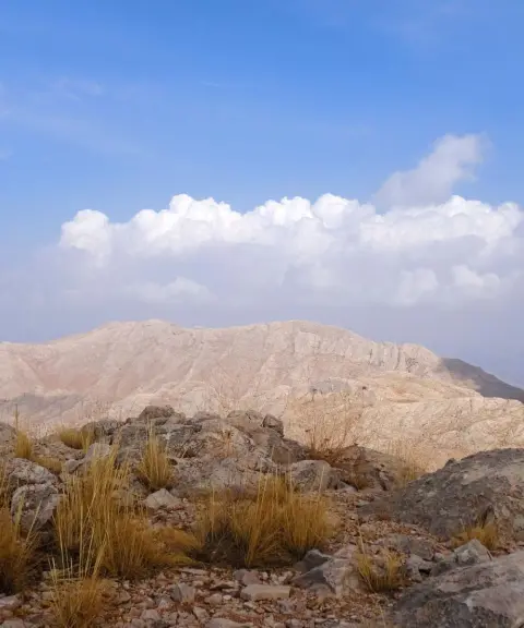
Yafteh Peak
Province Kermanshah
- Mountaineering
- Walking
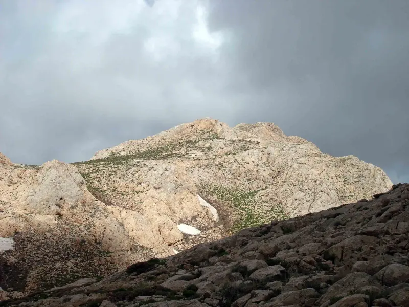
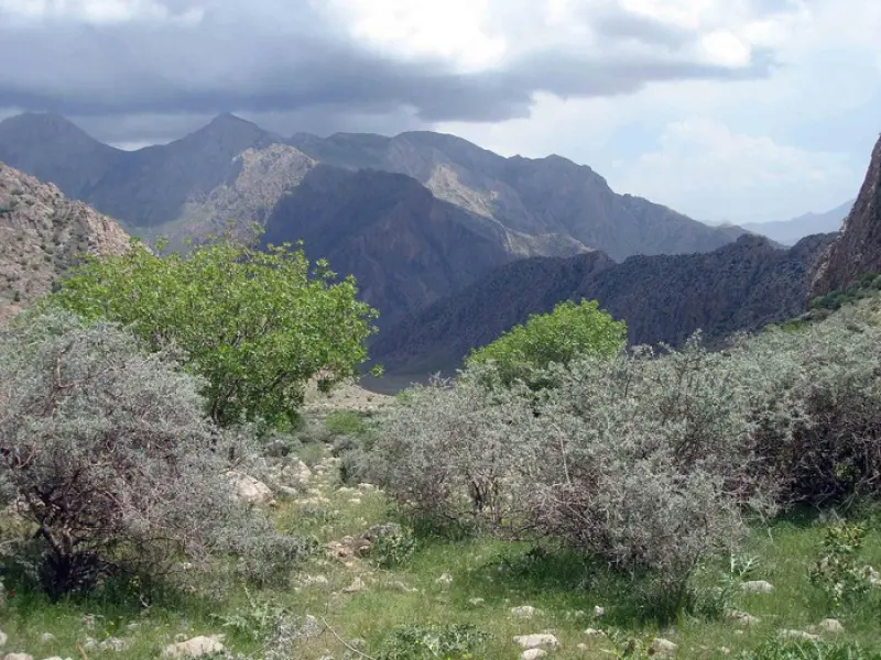
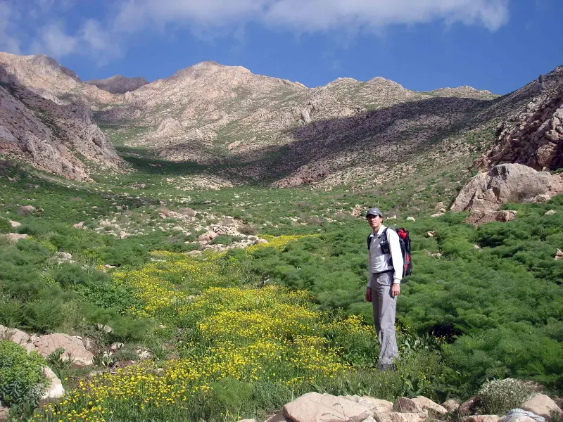
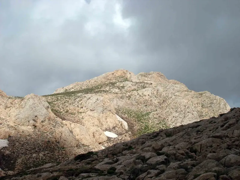
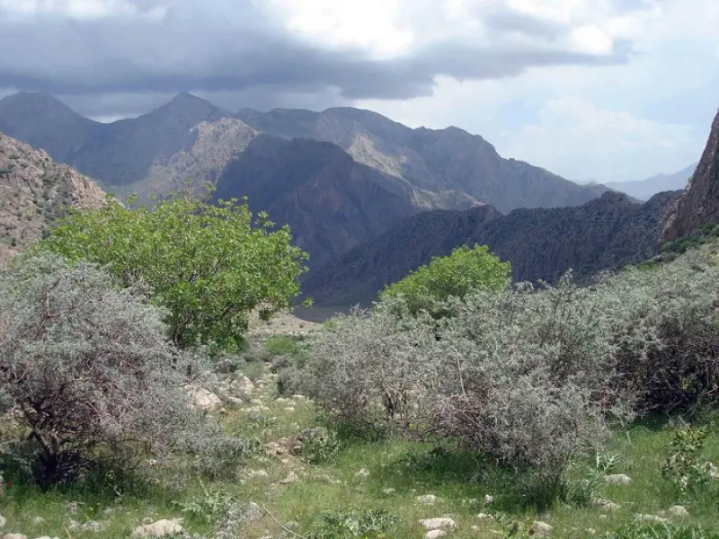
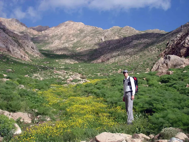
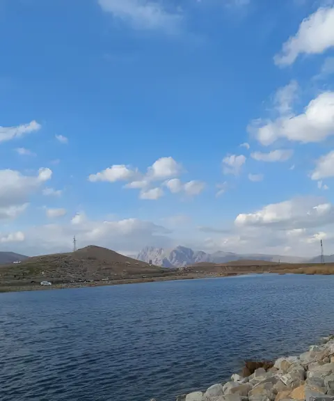
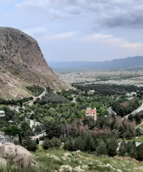
Alivar Peak is one of the mountains of the Varmanjeh area in Sarabaleh District, in the west of Kermanshah Province, and is considered one of the valuable mountain landscapes of the western Zagros. The peak stands at the heart of the Varmanjeh mountains and is surrounded by other peaks and heights such as Naraman, Hezareh, Darbid and Mirzaei, which offer visitors unspoiled natural scenery and pristine rock faces.
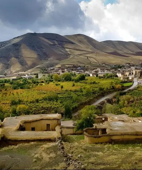
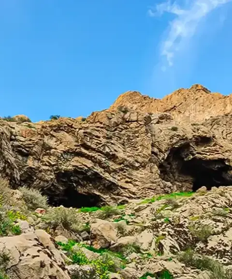
Thanks to its location in the western Zagros, Alivar is a favorite destination for climbers and nature lovers. The height of Alivar Peak is estimated at around 2,966 meters above sea level, and the ascent route begins from Khalag village, near the city of Kermanshah. In many sections the route is rocky and semi-technical to technical, and it requires experience and good physical fitness, especially in the sections that pass through the Seh-Pol Valley and cross rugged rocky terrain.
To reach Alivar Peak, first get to the city of Kermanshah or the village of Khalag, and begin the mountain trail from there. The usual route runs through the Seh-Pol Valley and the Zilou Plain, and the round trip is usually about 12 to 15 kilometers, with varying gradients, some sections of which require moving over rock faces and mountain ridges. The best time to climb this peak is spring (Ordibehesht to late Khordad) and early autumn, when the weather is more favorable and the route is drier; in these seasons you can enjoy the wildflowers and the area's unique vegetation.
Written by ستایش عرب Last updated
What you can do here, and what it takes
مسیرهای پاکوب و صخرهای از روستای خلگ تا قله عالیور مناسب کوهنوردی پیشرفته و صعود نقطهبهنقطه با راهنمای محلی است.
Province Kermanshah
Province Kermanshah
Province Kermanshah
Province Kermanshah


Unfortunately, no comments have been registered.