
 Mountain
- Ability level Intermediate
- Routes 1 recorded route
Ability level:
Intermediate
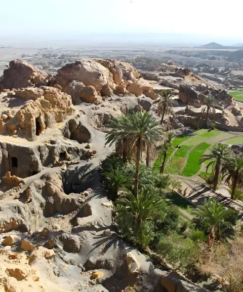
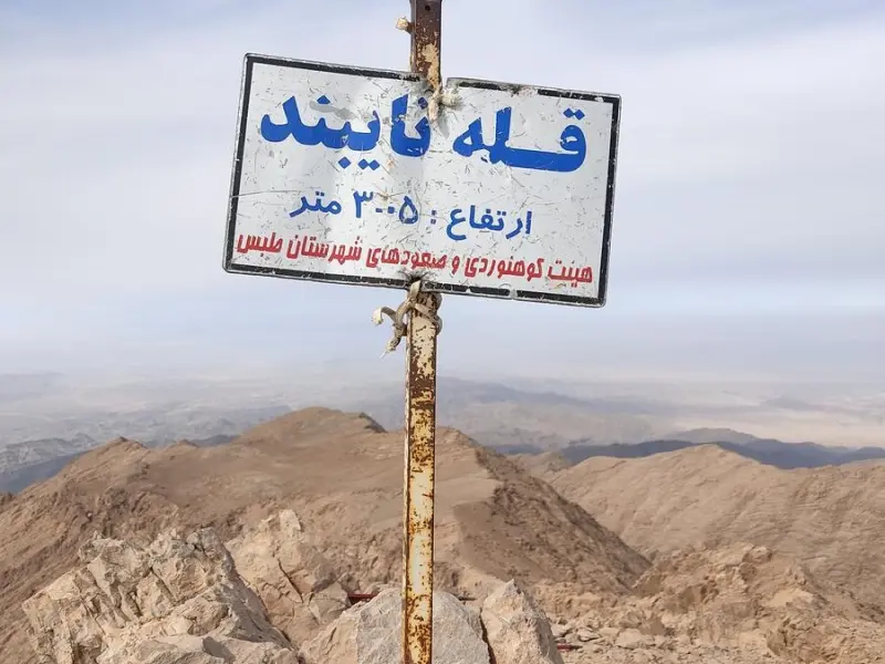
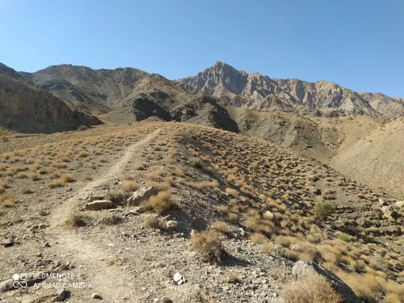
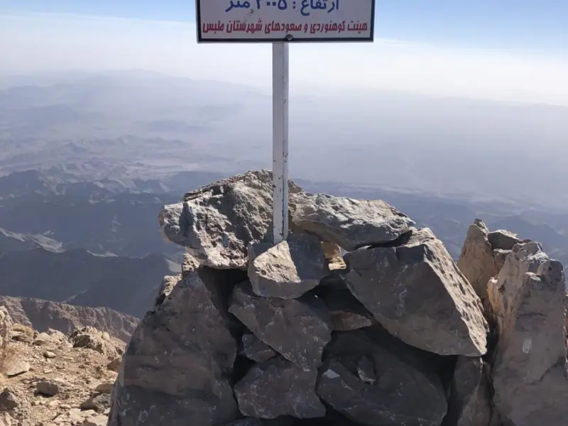
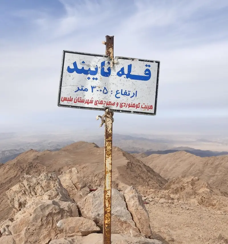
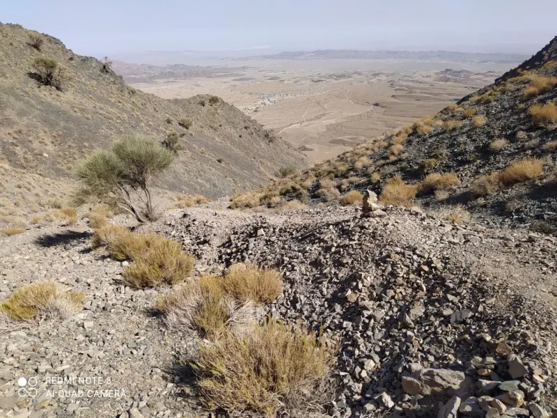
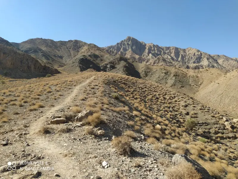
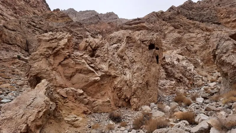
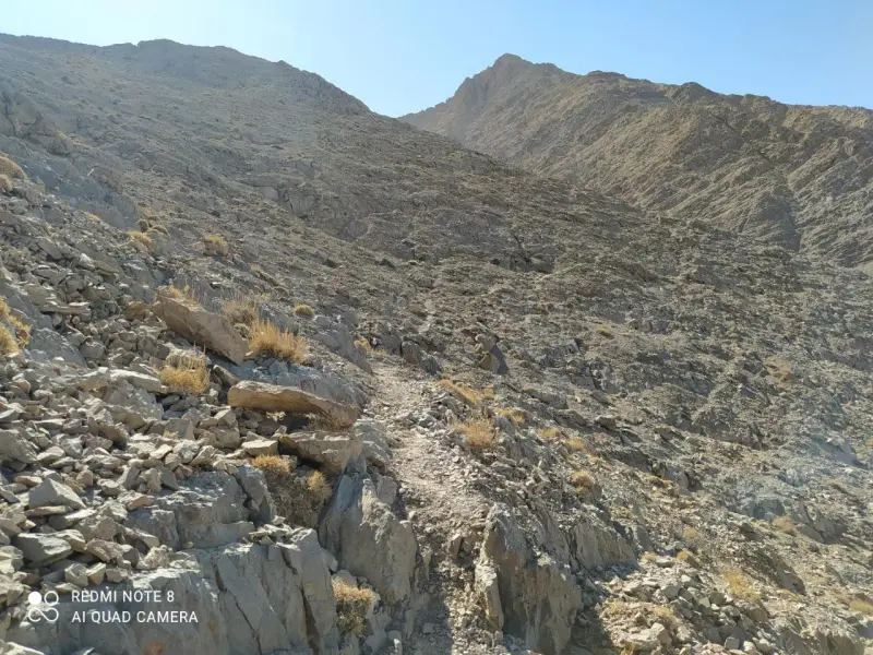
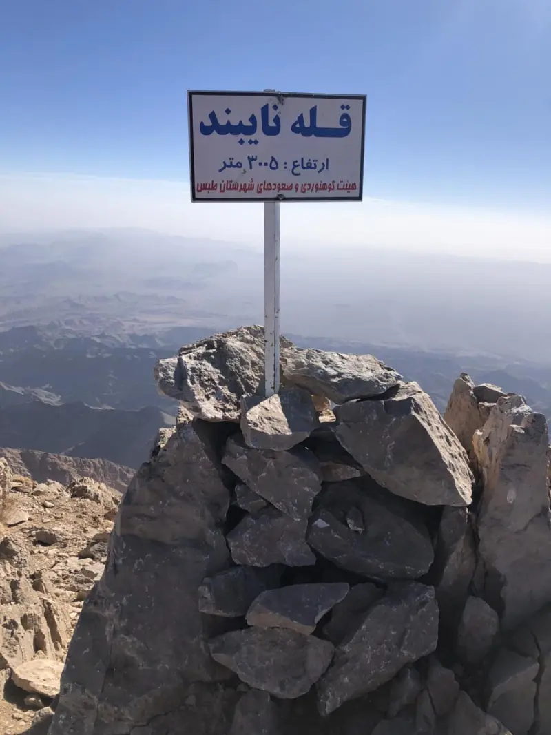
Nayband Peak is one of the highest summits in South Khorasan Province and the highest point of the Nayband Mountains, located in southeastern Iran in Tabas County. At about 3,005 metres above sea level, it is recognised as the highest peak in the province and is part of Iran's national Simorgh Mountaineering Plan, which was designed to promote the culture of climbing the country's high peaks. Set in the desert and semi-desert region of South Khorasan, the peak offers a distinctive combination of mountain scenery and the surrounding plains. The usual starting point for the climb is the village of Nayband, and sometimes the village of Aliabad, from where the mountain trails toward the summit begin.
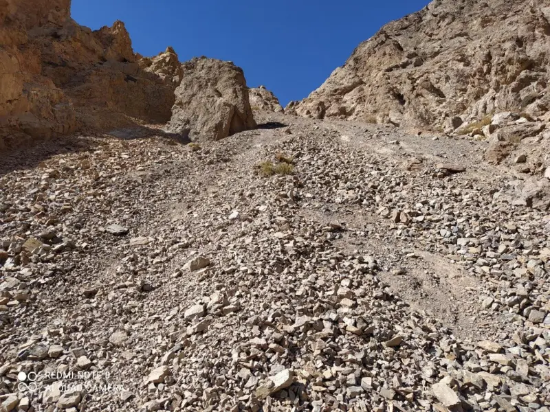
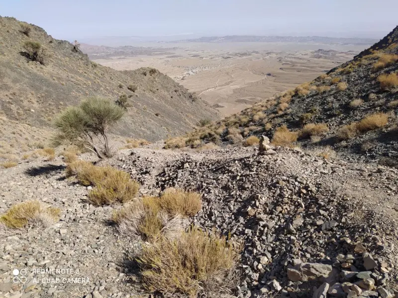
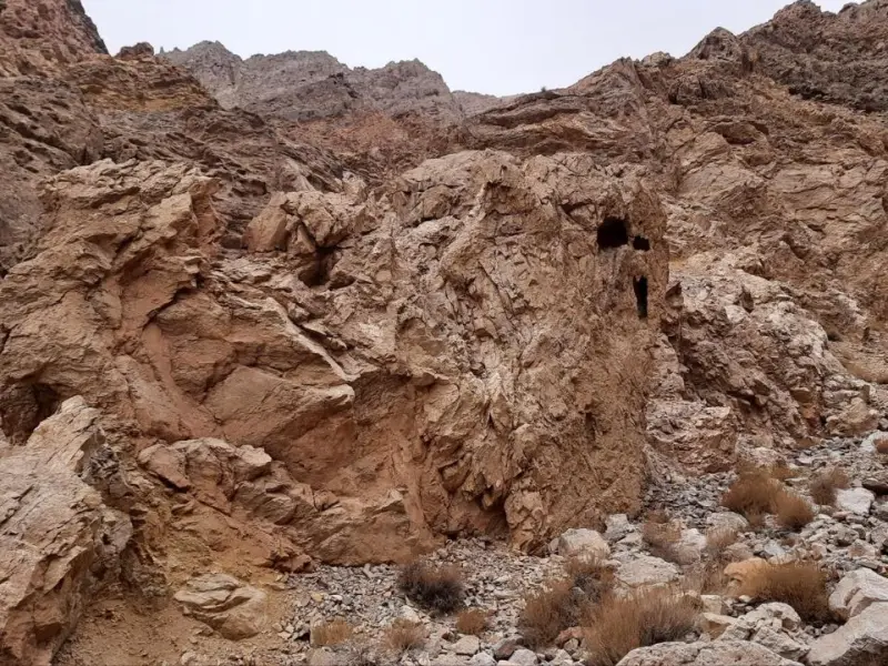
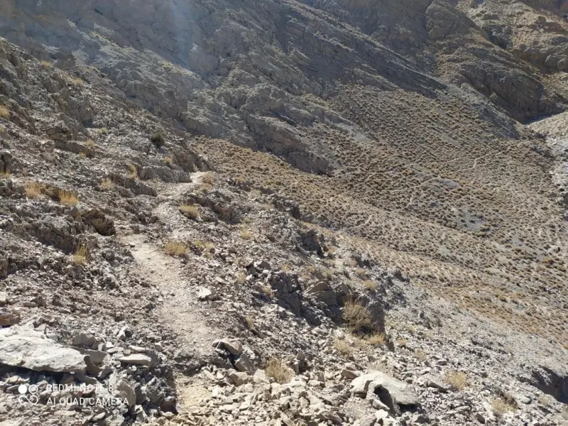
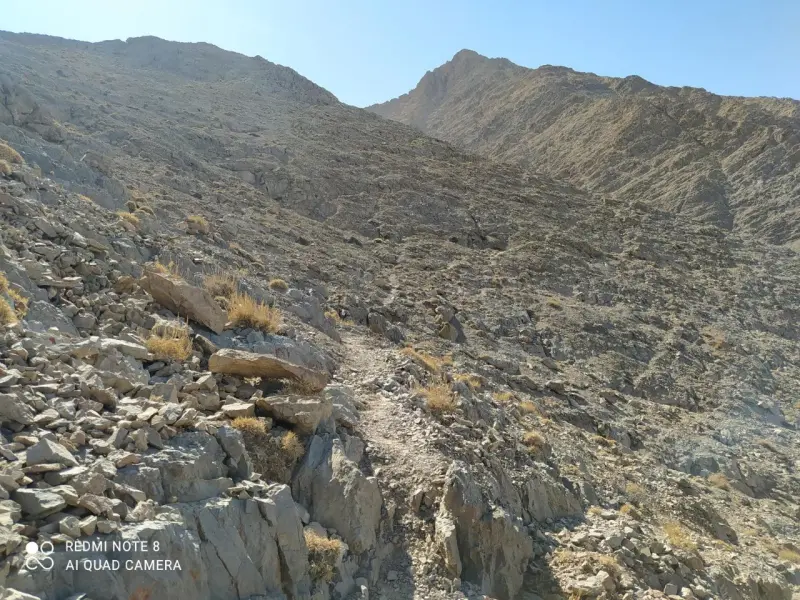
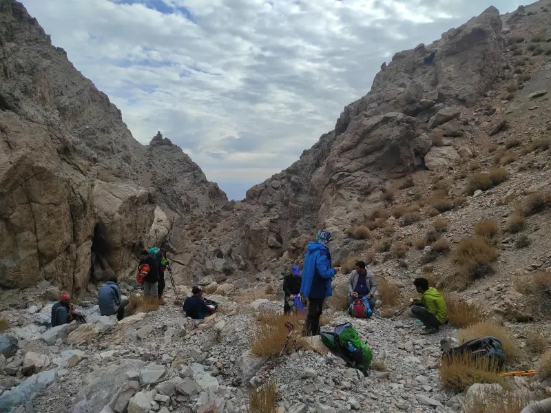
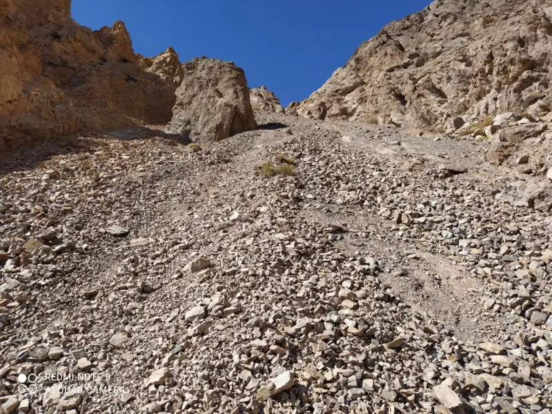
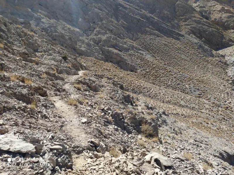
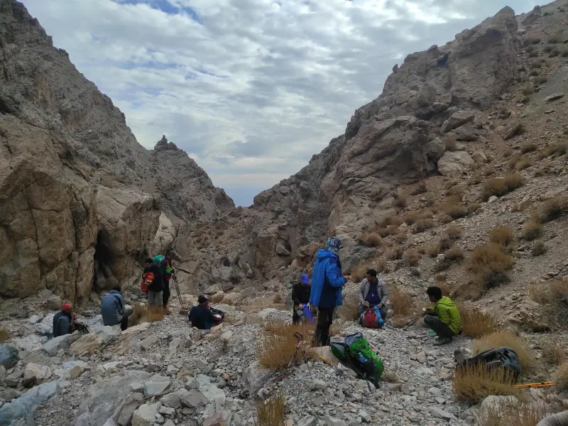
Climbing Nayband Peak can be a technical and appealing challenge for experienced mountaineers. The routes follow well-trodden ridges and dirt tracks on the slopes up to the crest of the ridge, and the round trip in a single day is usually about 12 to 15 kilometres. There are no water sources along the route, so climbers must carry their own water and supplies. Some sections are also steep and rocky, so basic mountaineering equipment, suitable footwear and a moderate to high level of physical fitness are required.
To reach Nayband Peak, first travel to the city of Tabas (South Khorasan Province), then continue to the village of Nayband or Aliabad to reach the starting point of the climb. The dirt road from Nayband village is passable by car up to a point near the foot of the climb, after which the hike begins on foot. The best time to climb this peak is generally spring and autumn, when the weather is relatively mild. In summer, because of the region's desert setting, temperatures can be very high, while in winter severe cold can make the climb difficult. Responsible mountaineering practices, such as careful planning, respect for the region's wildlife and carrying safety equipment, are essential on this route.
Written by ستایش عرب Last updated
Activities
What you can do here, and what it takes
-
Mountaineering
مسیرهای پاکوب به سوی قله نایبند مناسب کوهنوردی فنی و پیمایشی برای ورزشکاران با تجربه است.
Specifications
Introduction of the location and specifications of Nayband Peak
Location:
South Khorasan, Tabas
Coordinates:
32.44046643, 57.36880302
Open in maps
Height above mean sea:
3005 meter
Faunas:
Presence of Predatory Animals, Presence of Herbivorous Animals
Transports:
Private car, Walking, Minibus, Bus
Tourist Attractions in Tabas
Attractions that are nearby





Deyg-e Rostam Hot Spring
Province South Khorasan
- Walking
- Swimming
A boiling, healing spring in the heart of the Tabas desert
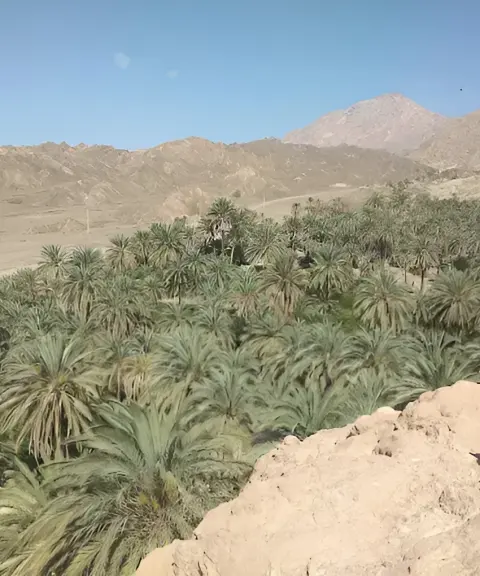
Nayband Wildlife Refuge
Province South Khorasan
- Walking
The Vast, Pristine Wildlife Habitat in the Heart of Iran's Desert
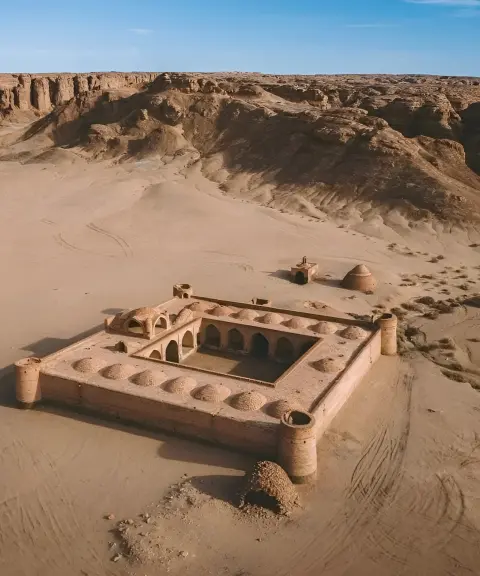
Chehel Paye Caravanserai
Province South Khorasan
- Walking
A Historic Relic in the Heart of the Lut Desert
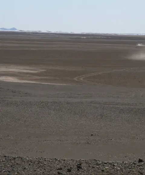
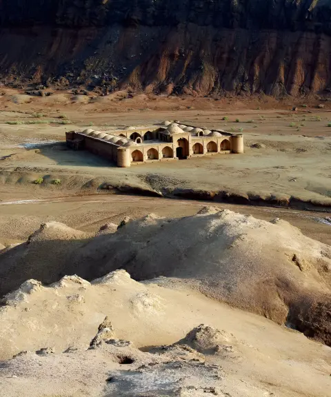
Chah Kuran Caravanserai
Province Kerman
- Walking
A historic relic of the ancient Khorasan route in Ravar
Related tags:
Unfortunately, no comments have been registered.