
 Mountain
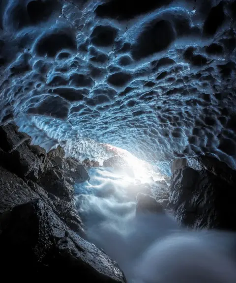
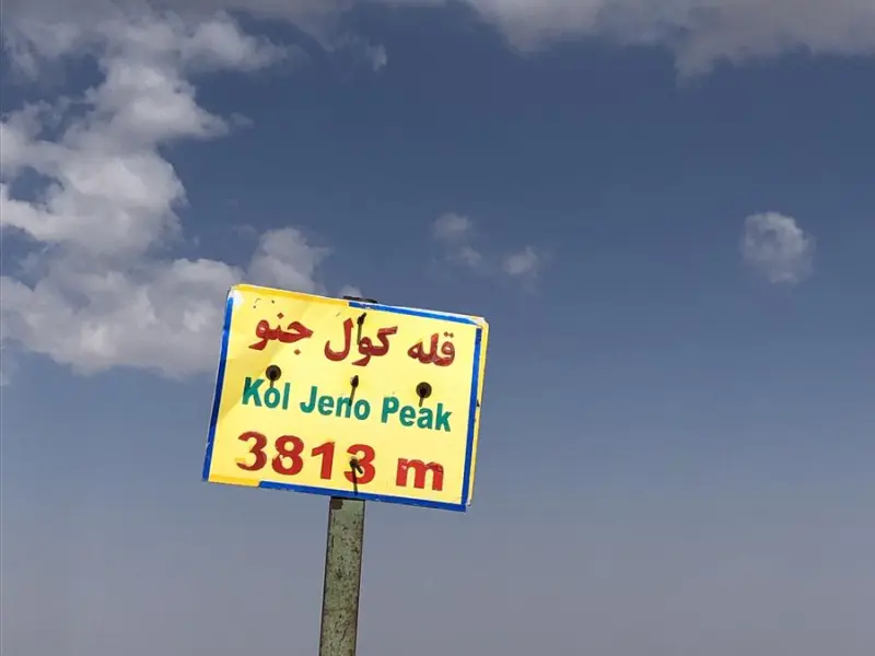
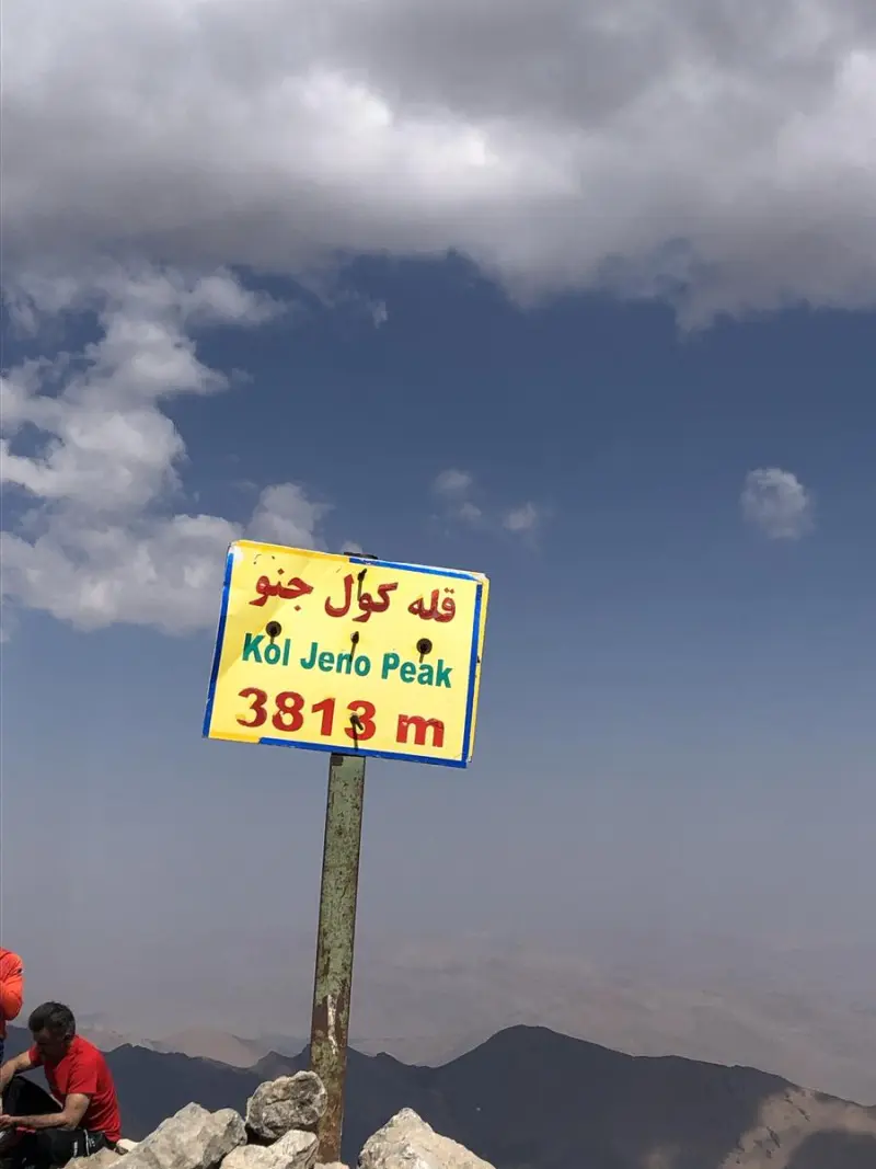
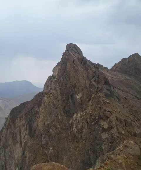
Kul-e Jenu Peak
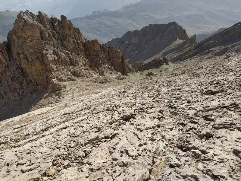
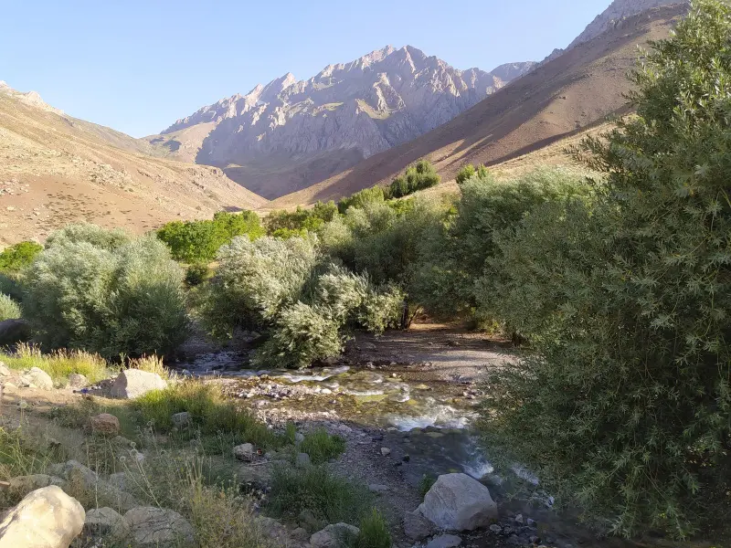
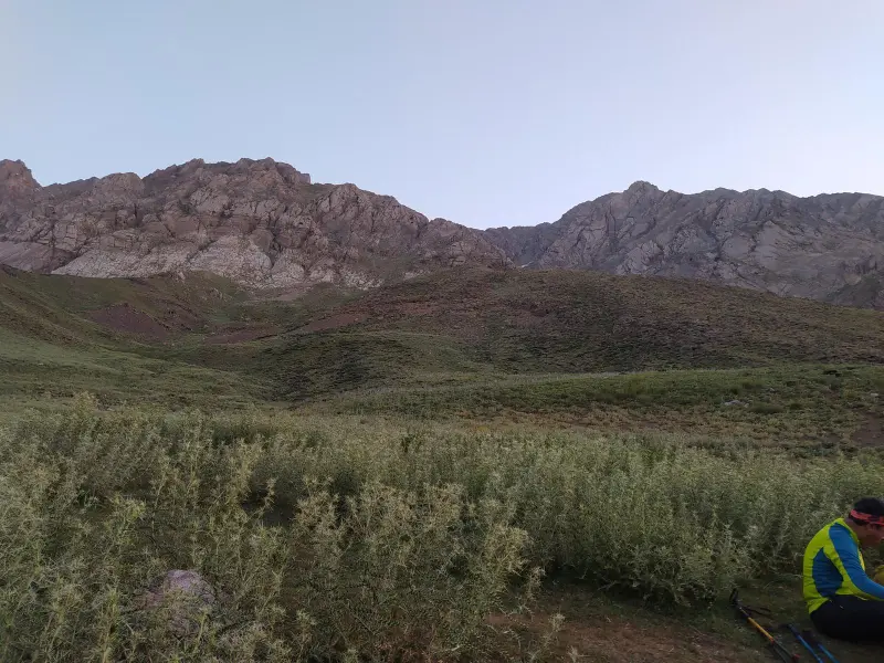
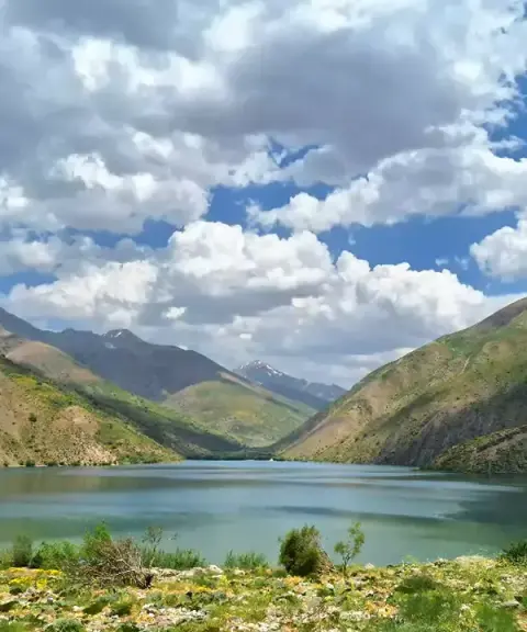
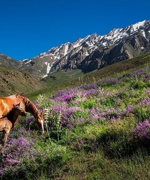
The rugged, striking ridge of Oshtorankuh in Lorestan
- Mountain
- Lorestan, Azna
- Altitude 3,813 m
- Ability level Advanced
- Routes 1 recorded route
Ability level:
Advanced
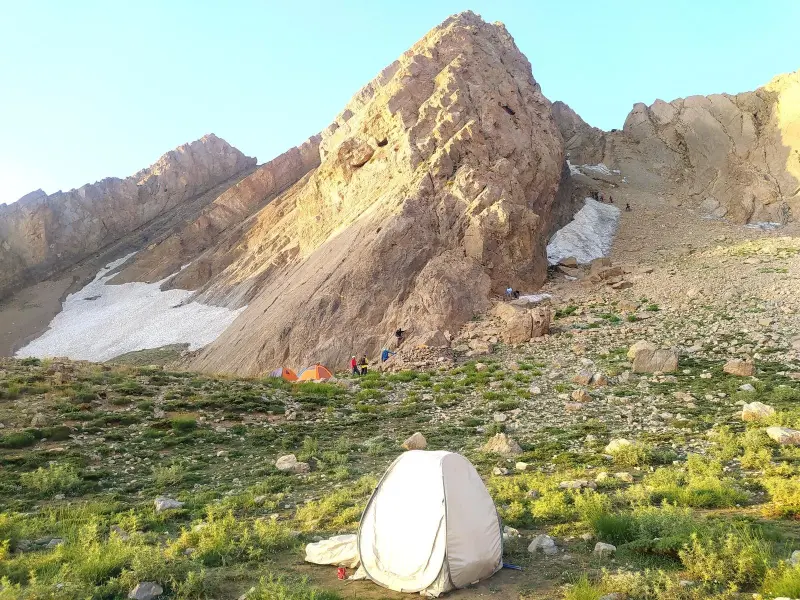
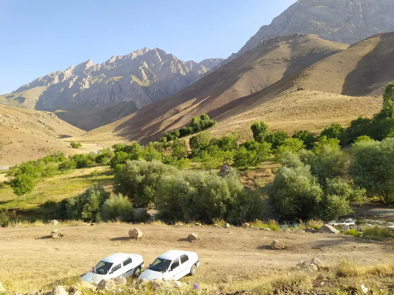
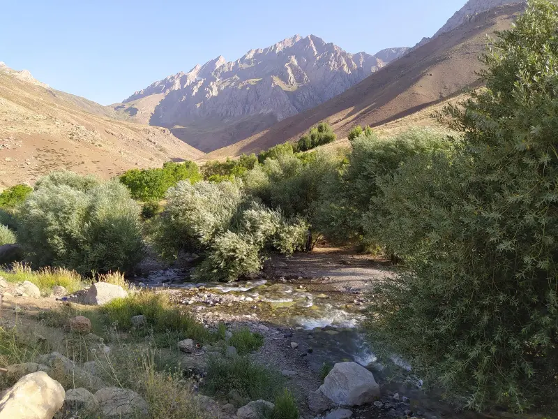
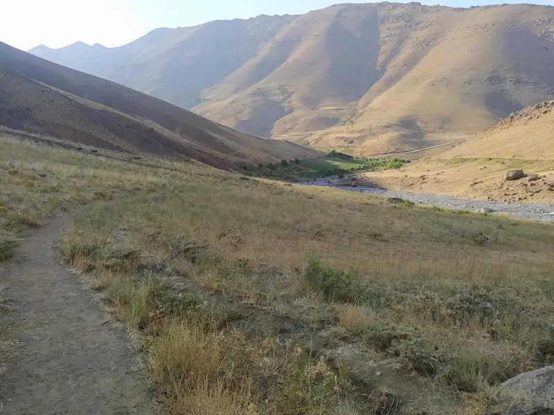
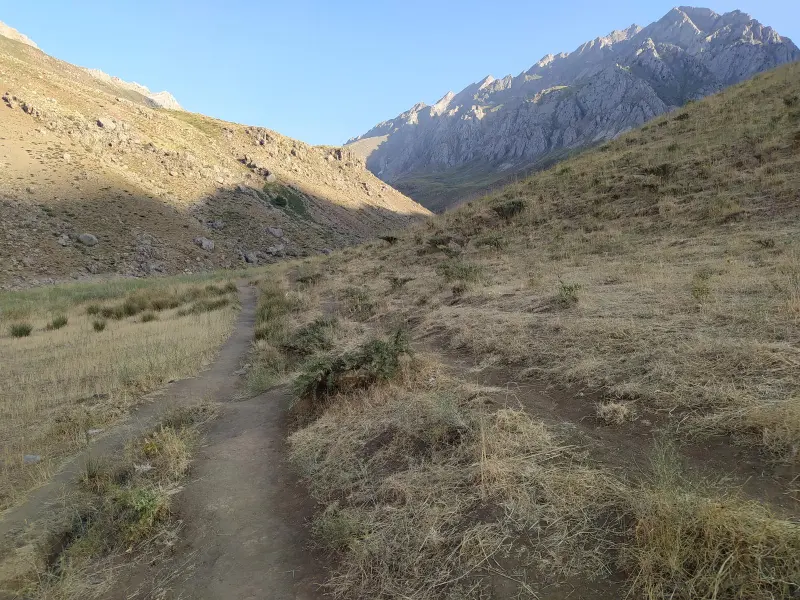
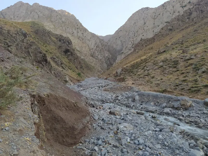
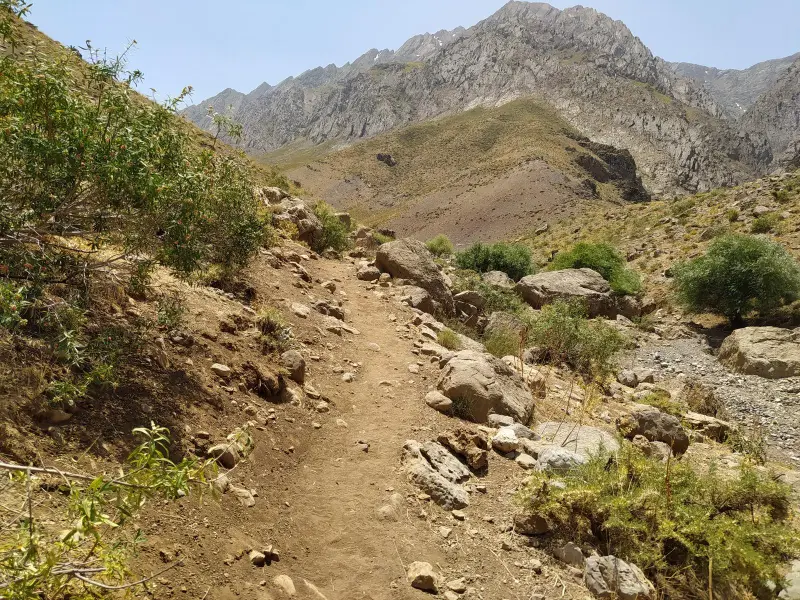
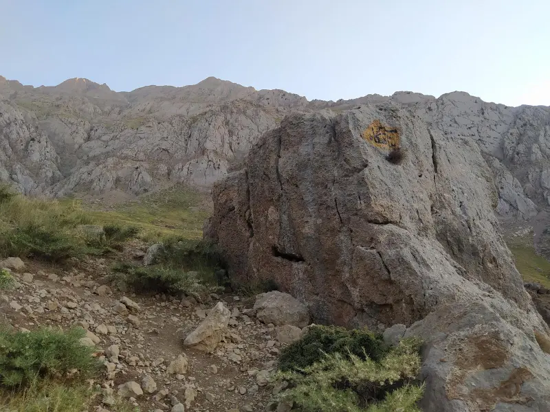
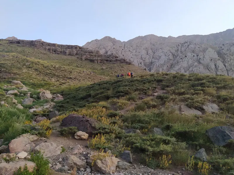
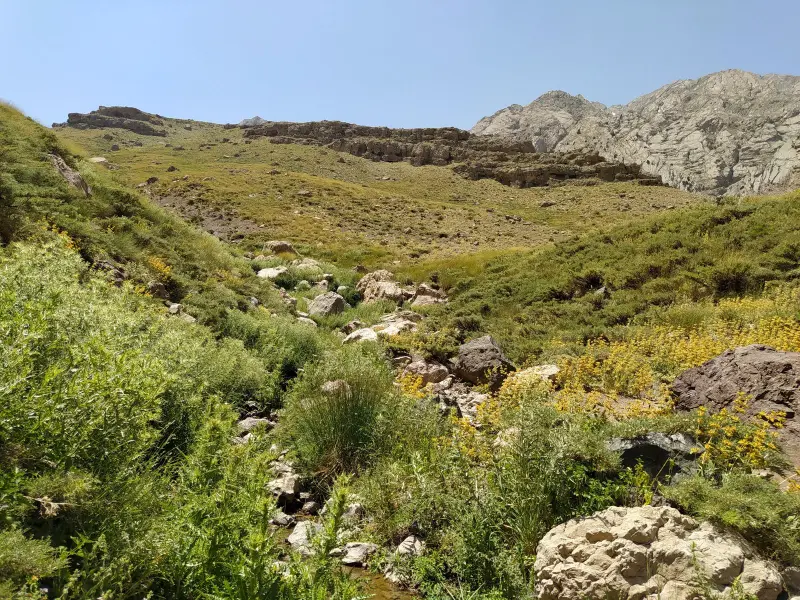
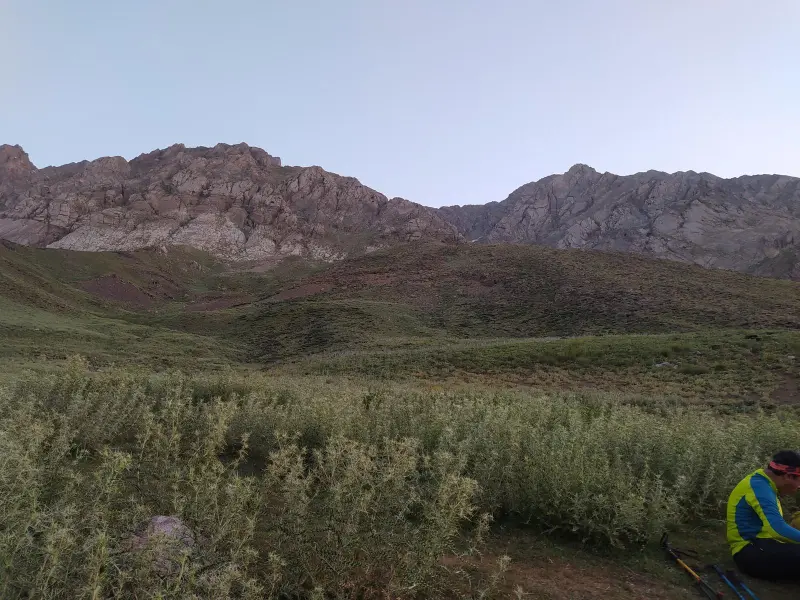
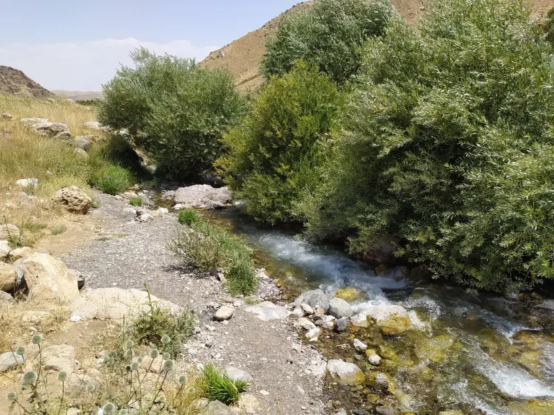
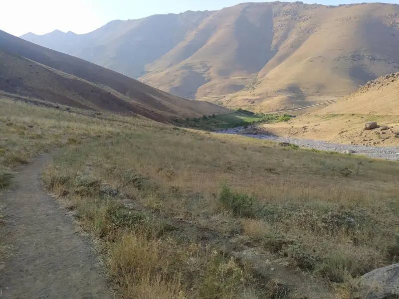
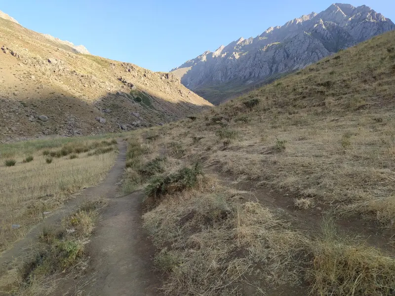
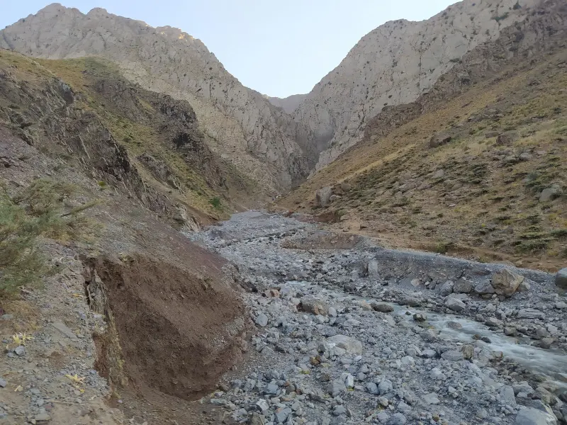
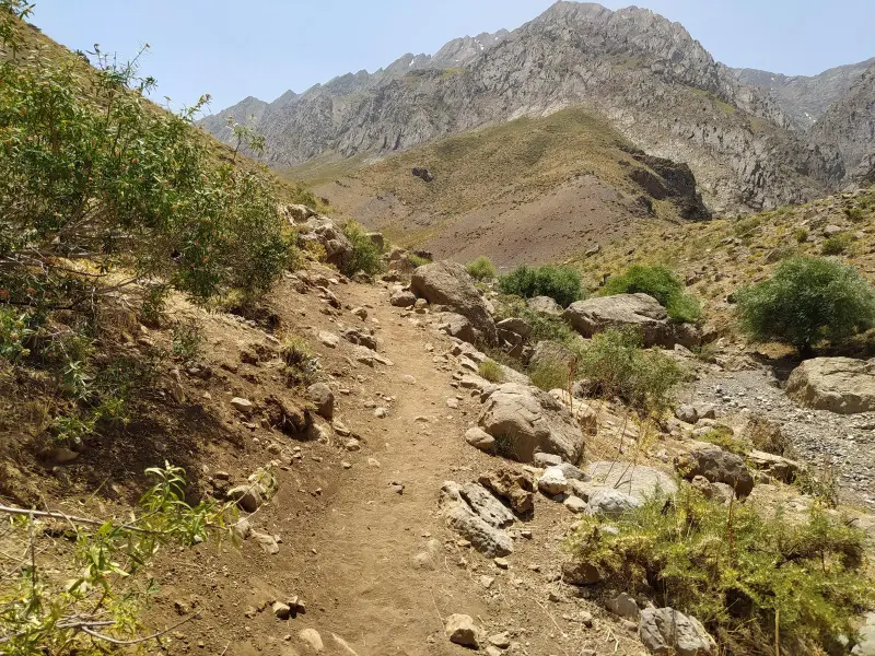
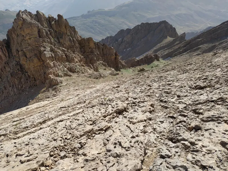
Kul-e Jenu Peak is one of the highest and most technical summits of the Oshtorankuh range in Lorestan Province, with a reported elevation of about 3,813 meters above sea level. The peak lies in the area of Azna County and is counted among the high, challenging peaks of the Zagros, known among climbers for its rocky ridges and steep slopes. Oshtorankuh as a whole is part of the central Zagros, with numerous valleys and peaks, and Kul-e Jenu is one of the most prominent summits of this massif.
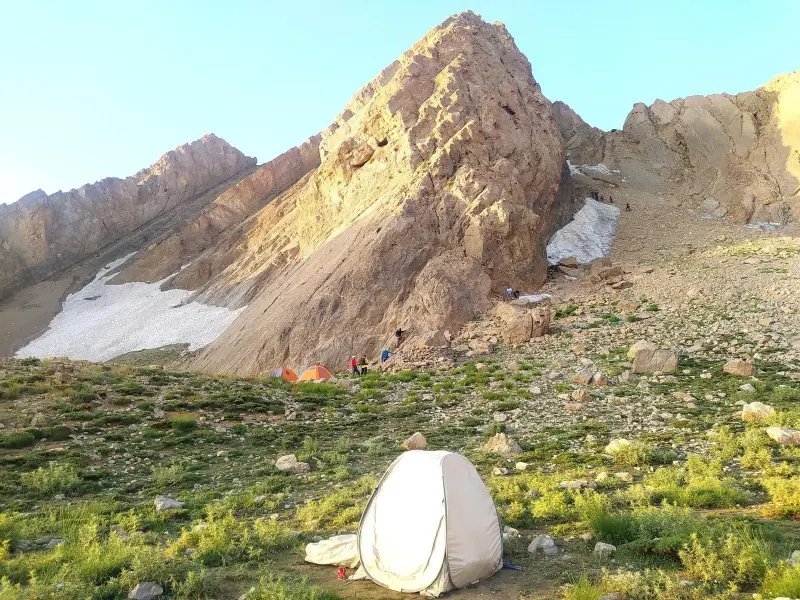
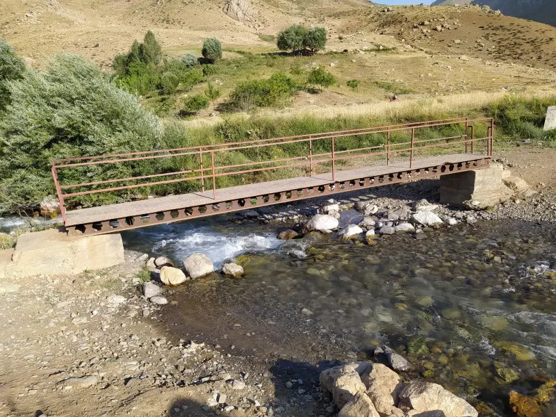
The usual route to Kul-e Jenu Peak normally starts from the village of Komandan in Azna County, and the approach goes through the Dayi Valley or the Kul-e Jenu mountain hut. The climb is a professional one and in some sections requires advanced mountaineering skills, ice and snow technique, and the ability to cross technical ridge slopes. It is therefore better suited to climbers experienced in classic mountaineering and technical rock climbing.
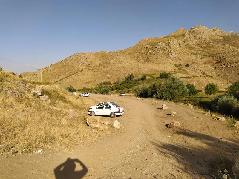
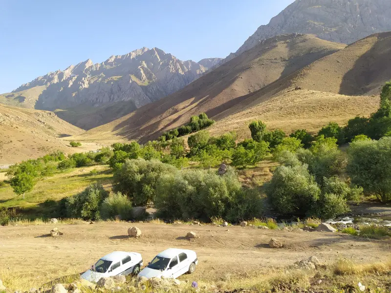
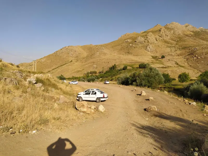
To reach the starting point of the climb, you normally travel from the town of Azna to the village of Komandan, and secondary dirt roads can be driven to near the start of the route. The best time to attempt Kul-e Jenu Peak is summer and early autumn, because snowfall is lighter in these seasons and heavy frosts ease. Even so, parts of the route may still have ice and snow even in summer. Full attention to safety, standard mountaineering equipment and careful planning are essential for such a technical climb.
Written by ستایش عرب Last updated
Activities
What you can do here, and what it takes
-
Mountaineering
مسیرهای یال و تیغه برای کوهنوردان حرفهای مناسب است و نیاز به تکنیکهای سنگنوردی و برفنوردی دارد.
Specifications
Introduction of the location and specifications of Kul-e Jenu Peak
Location:
Lorestan, Azna
Coordinates:
33.25117780, 49.42937851
Open in maps
Height above mean sea:
3813 meter
Floras:
Semi-humid mountain climate
Faunas:
Presence of Predatory Animals, Presence of Herbivorous Animals
Transports:
Private car, Walking
Tourist Attractions in Azna
Attractions that are nearby

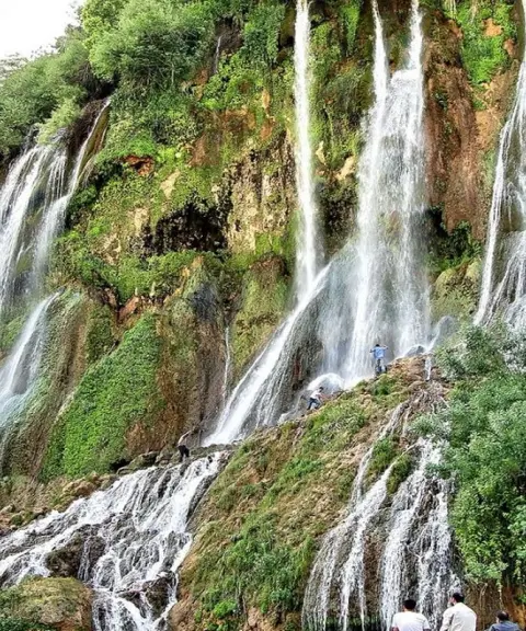

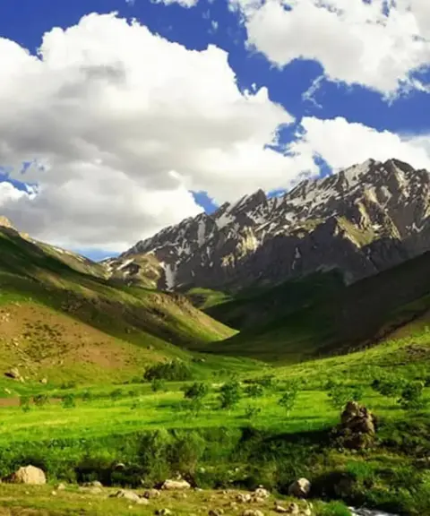
Oshtorankuh Waterfalls
Province Lorestan
- Walking
- Swimming
Blue Jewels in the Heart of the Iranian Alps

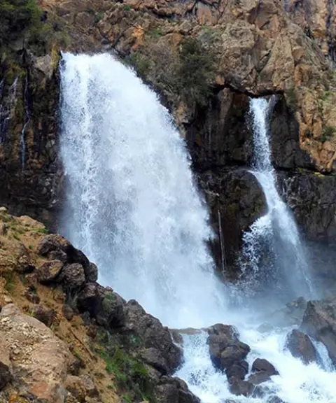
Oshtorankuh Protected Area
Province Lorestan
- Cycling
- Walking
- Mountaineering
A pristine paradise in the heart of the Zagros, with astonishing diversity of nature and wildlife
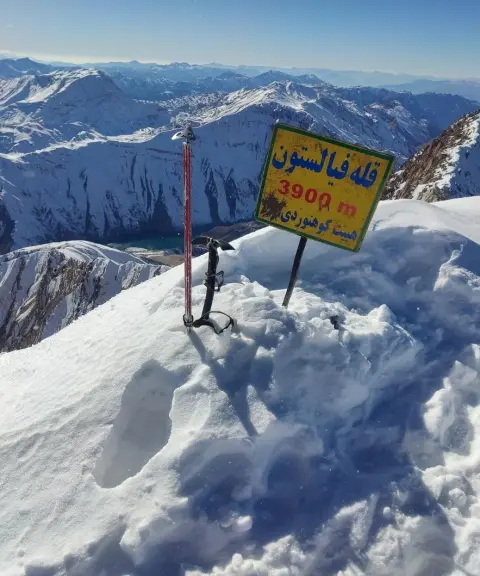
Filestoun Peak
Province Lorestan
- Mountaineering
- Walking
A mountain summit on the Oshtorankuh ridgeline

Unfortunately, no comments have been registered.