
 Mountain
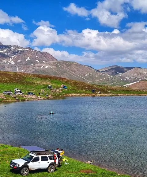

Samad Goli Lake
Province Ardabil
- Walking
- Swimming
- Cycling
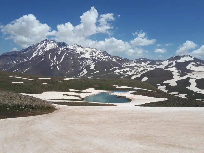
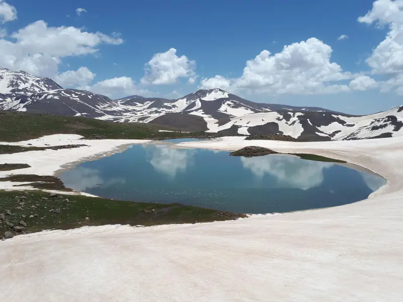
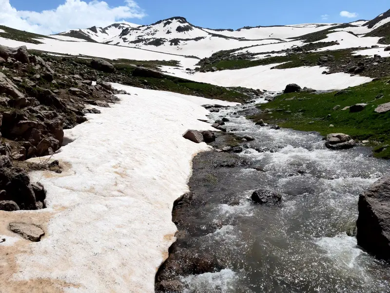
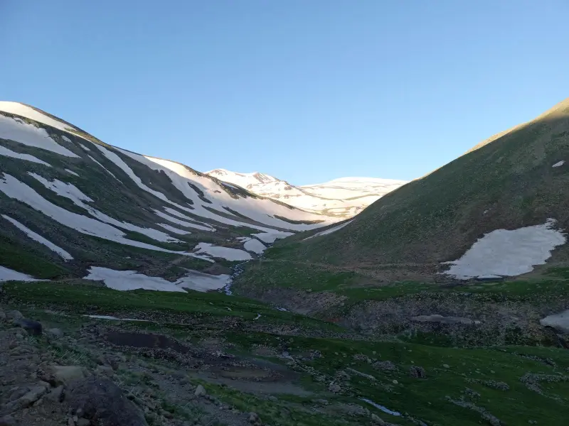
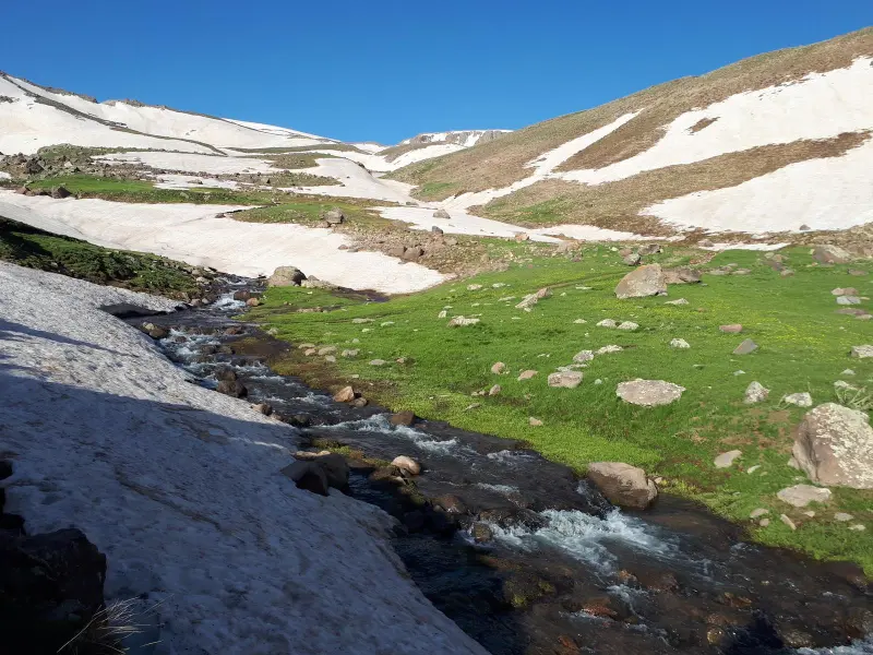
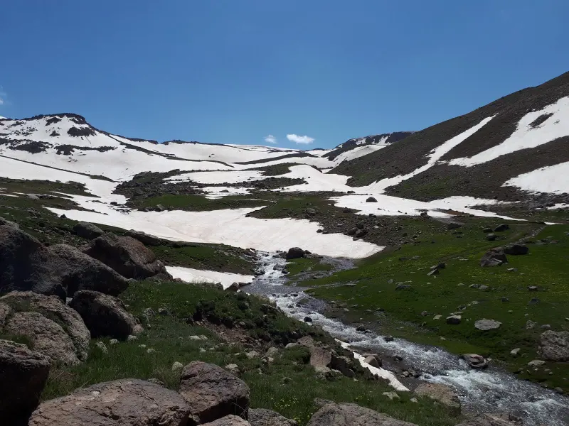
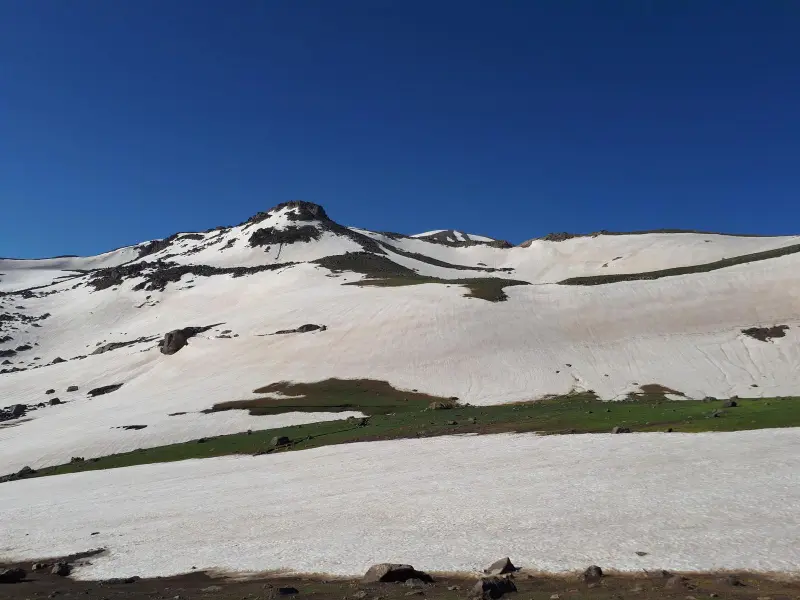
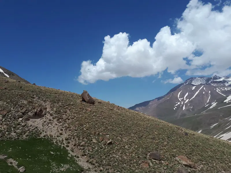
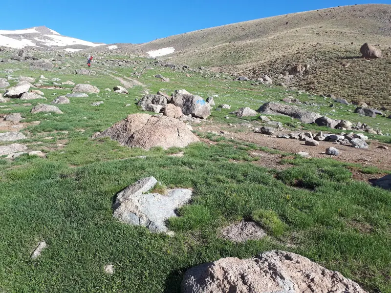
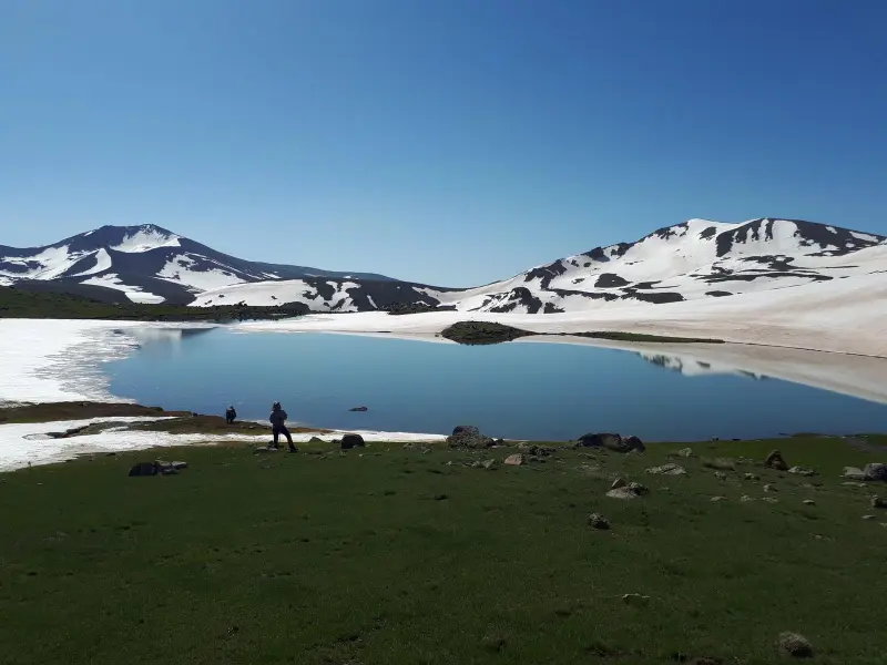
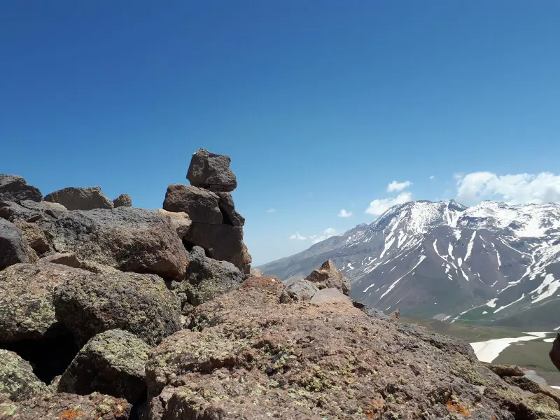
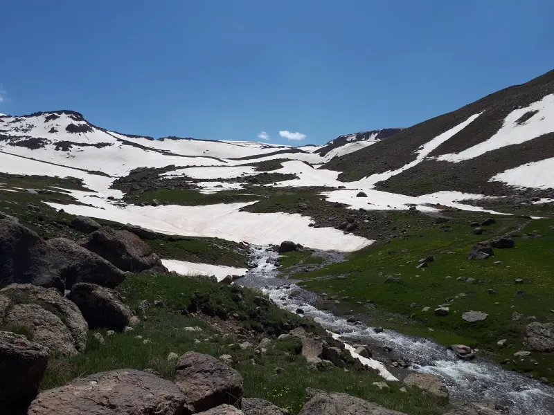
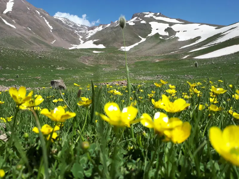
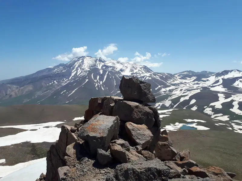
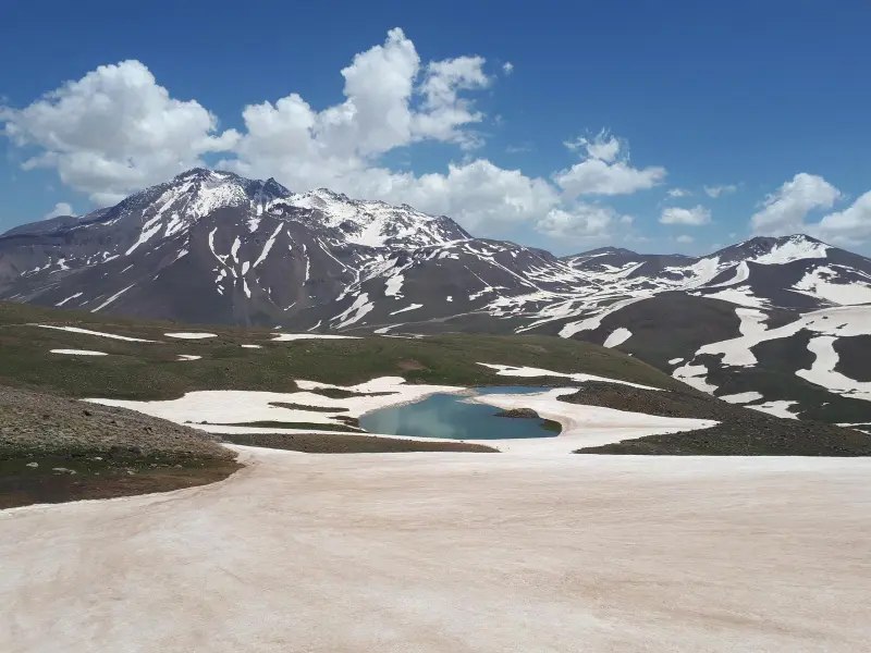
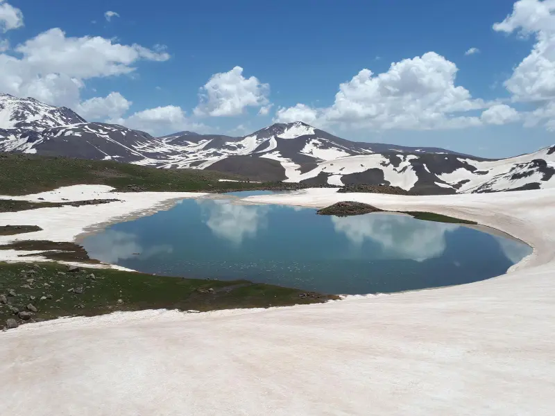
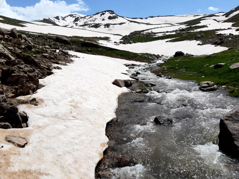
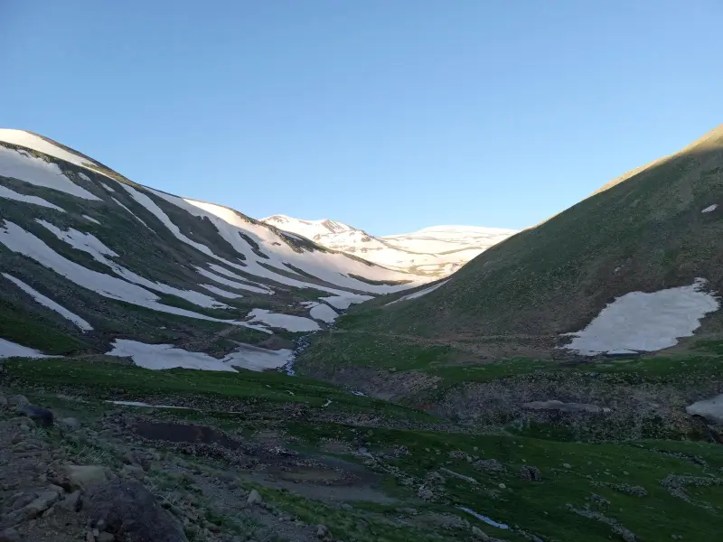
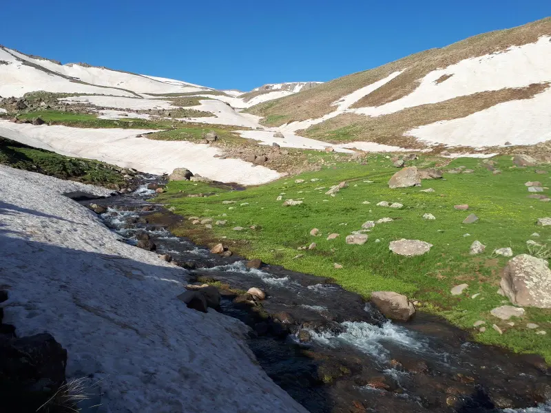
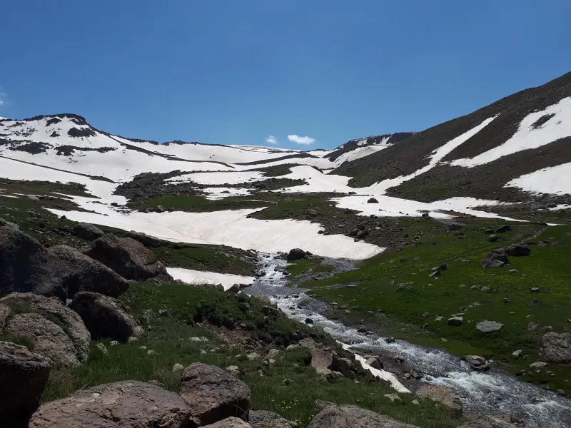
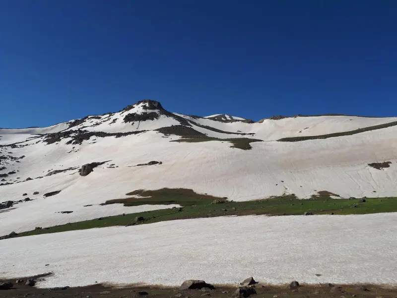
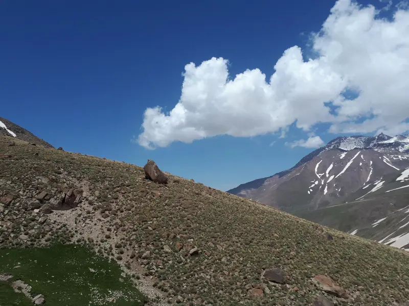
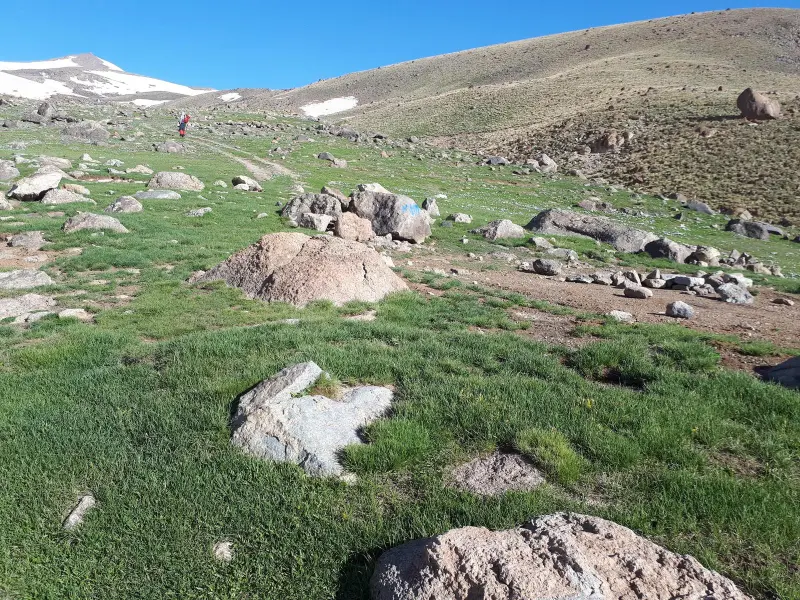
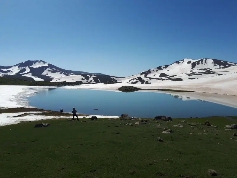
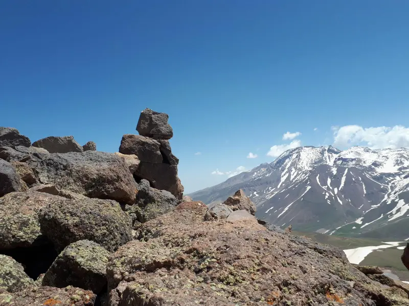
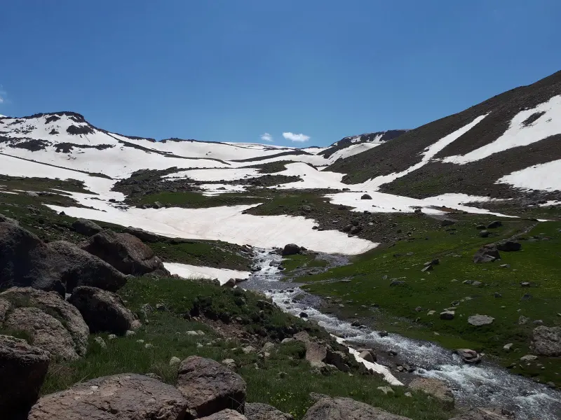
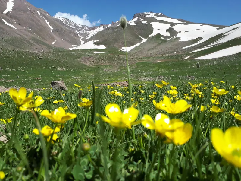
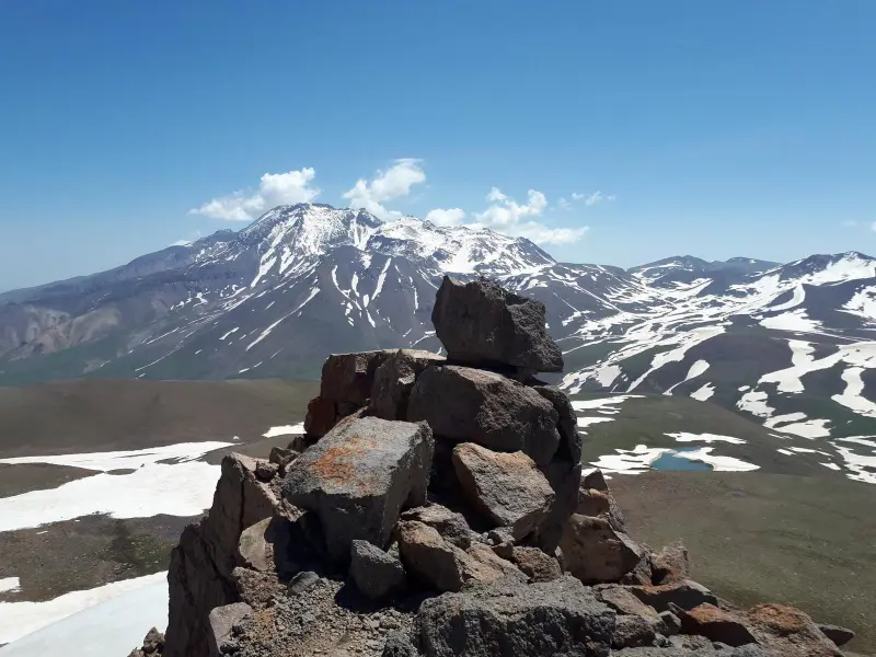
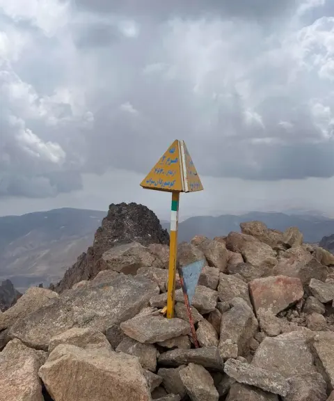
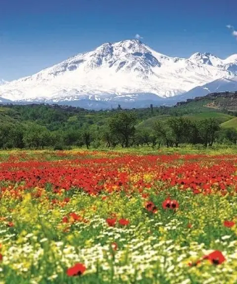
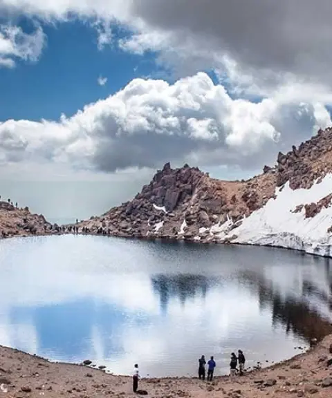
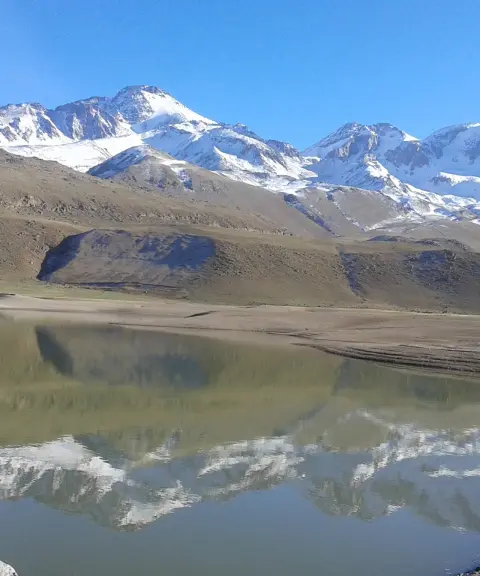
Kokili Dagh Peak, also known as Aygar, is one of the most beautiful summits around Sultan Savalan. It lies in the southwest of the range and rises to about 3,750 meters above sea level. With its stunning natural scenery, attractive ridges and mountain routes, it is a popular destination for climbers and nature lovers. At the heart of the peak lies the unique Kokili Dagh Lake (Kokili Gölü). Fed by streams from melting snow in the highlands, and set in a pristine, peaceful environment, it gives the area an indescribable beauty, and it is also ecologically important and a water source for the region's nomads.
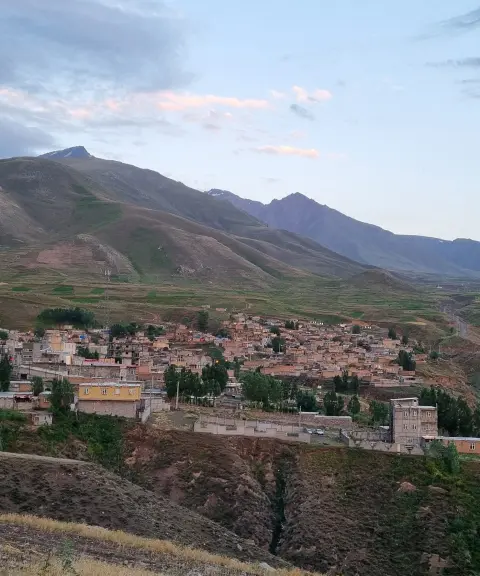
The routes to the summit usually start from the village of Moil. First, a dirt road leads to Station 3 of the geothermal site. From there, an 8-kilometer hike with an elevation gain of about 900 meters brings climbers to the Tandirli summer pasture. After another kilometer you will reach Kokili Gölü Lake, and the final stretch to the summit is 2 kilometers with an elevation gain of 350 meters. Along the way, leftover winter snow and the peak's small permanent glaciers add a special beauty and appeal, and skiing on the snow is even possible on some ridges. The name Kokili Dagh probably derives from two elements, bear ("ay" in Turkic) and snow ("gar" in Turkic), reflecting the historical presence of bears and permanent snow in the area. However, in recent years the number of bears has declined because of the development of routes and the influx of tourists. After the three summits of Sabalan, this is the only peak with permanent natural glaciers, and even in summer part of the snow remains.
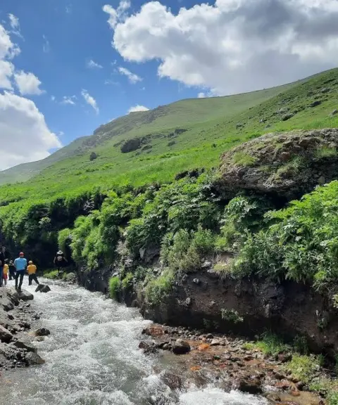
Access to Kokili Dagh Peak is usually from the Tandirli summer pasture or the village of Moil. The routes total about 14–16 kilometers round trip and pass springs, footpaths along the lower slopes and natural inclines. The full hike usually takes 5 to 10 hours and suits intermediate to experienced climbers. The best time to climb is from spring to early autumn. For a safe and enjoyable experience, it is essential to follow mountaineering safety principles and practice responsible nature tourism: carry standard equipment, wear suitable footwear, bring enough water, have a map or GPS track of the route, and keep the environment clean.
Written by ستایش عرب Last updated
What you can do here, and what it takes
مسیرهای پاکوب از روستای موئیل تا قله ککیلی داغی مناسب کوهنوردان متوسط تا حرفهای هستند.
دامنههای پایینتر مسیر برای پیادهروی تفریحی و طبیعتگردی مناسب است.
برخی یالهای مسیر بهویژه در بخشهای باقیمانده برف زمستانی، امکان سر خوردن و اسکی روی برف را فراهم میکند.
Province Ardabil
Province Ardabil
Province Ardabil


Unfortunately, no comments have been registered.