
 Mountain
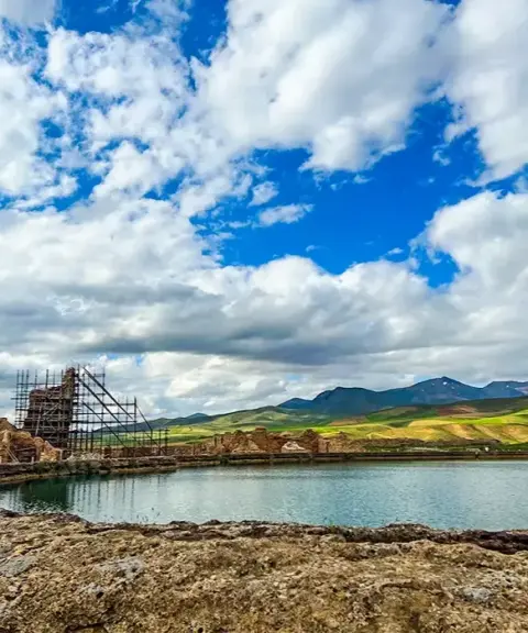

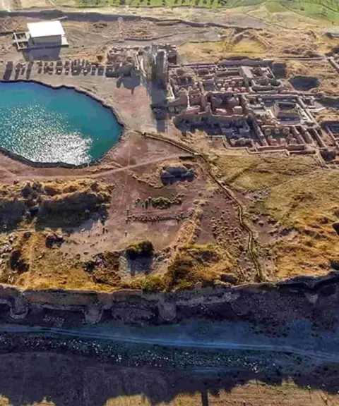
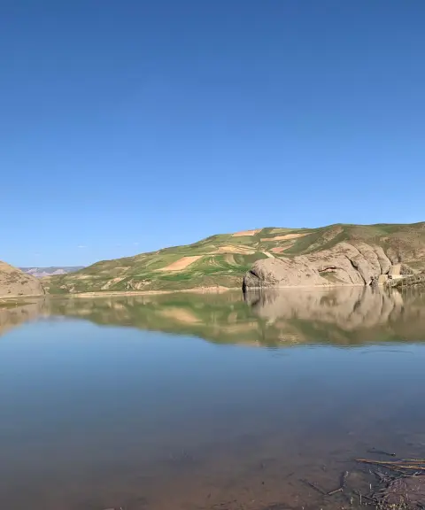
Takht-e Soleyman Lake
Province West Azerbaijan
- Walking
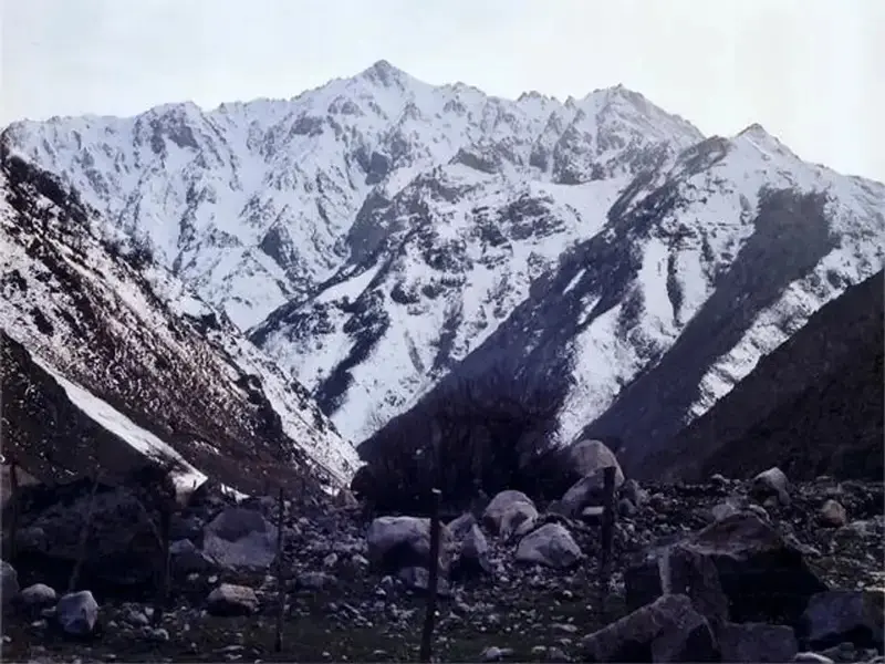
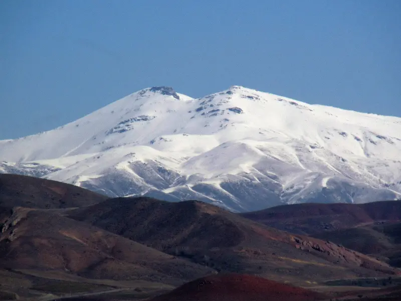
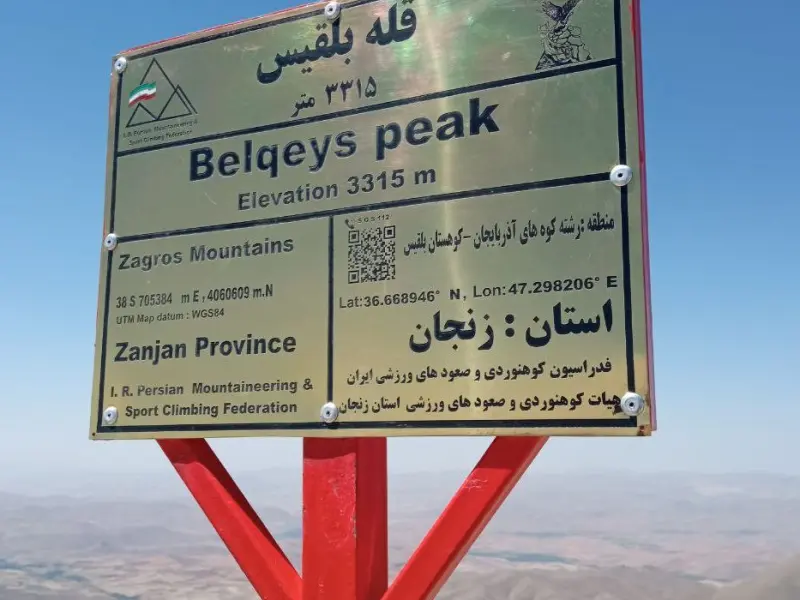
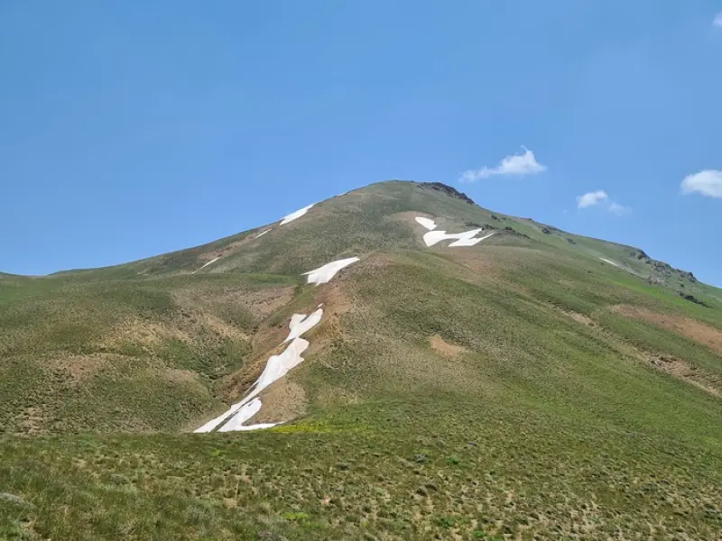
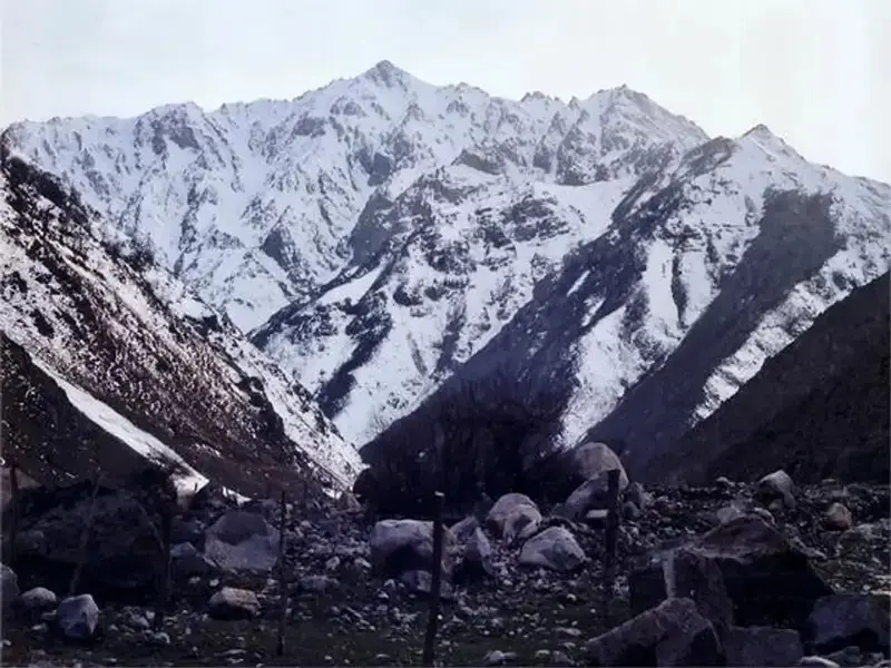
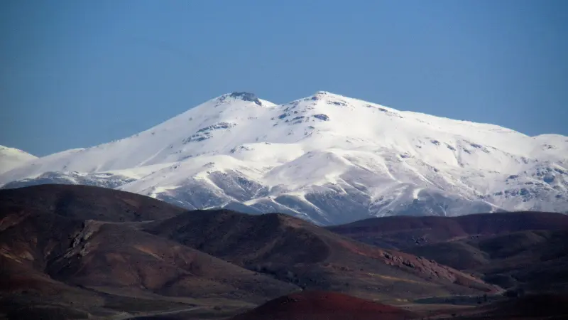
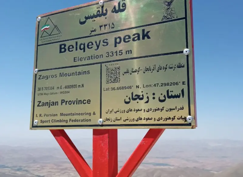
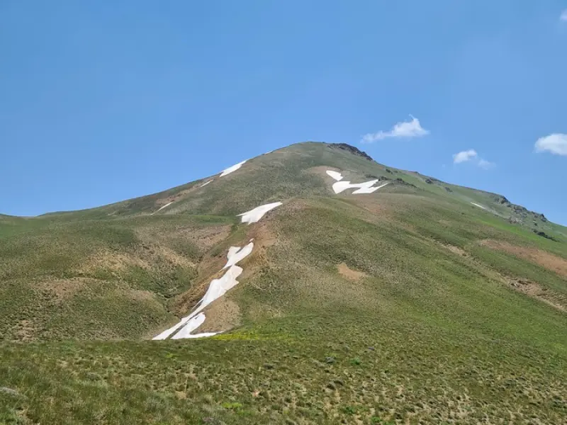
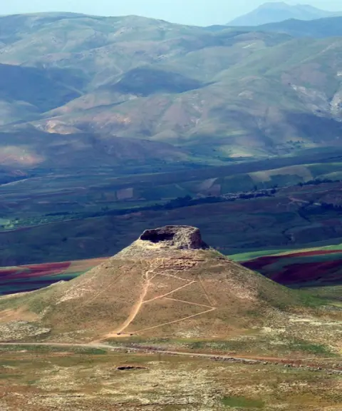
Bolghais Peak is located in Zanjan Province, Mahneshan County, Angouran District, close to the Takht-e Bolghais Castle. The mountain has two high summits, at 3,320 m and 3,332 m, and is considered the highest and most beautiful peak in Zanjan Province. It lies roughly on the shared border of Zanjan and West Azerbaijan provinces, on the border between Mahneshan and Takab counties, and between Angouran District and Takht-e Soleyman District, 113 km west of Zanjan. On the southern summit stand the fortifications and the castle of Takht-e Bolghais. The castle is completely circular and built of stone, so it is reasonable to assume it was used as a watchtower. Between the two summits there is a very beautiful lake, formed by melting snow, which can be seen for most months of the year, although in recent years, because of low rainfall, the lake dries up in summer.
The name Bolghais comes from "Balghiz", which means "honey of the girl". The ascent route is about 8 km long; the ascent takes about 5 hours and the descent about 4 hours. The climate of the peak is mountainous, with very cold, snowy winters and pleasant summers, so summer is the best season for trekking and climbing. The route has no particular challenges or technical difficulties.
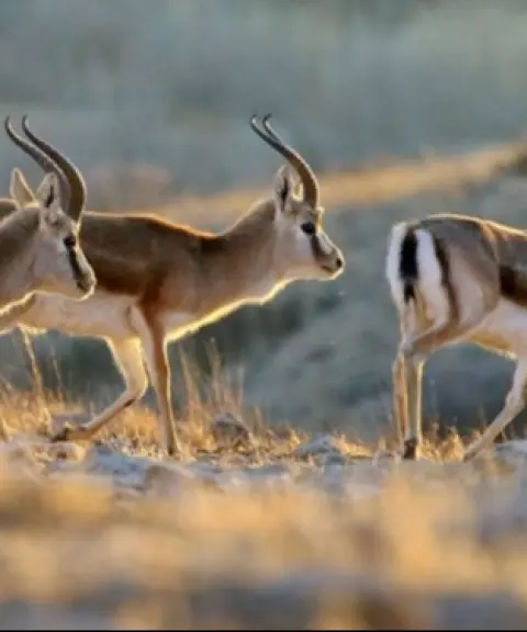
The vegetation of the area includes rhubarb, nettle, thyme, lavender, kishmish (wild raisin plants), savory, sorrel, bulagh otu, licorice and marjoram. The wildlife includes bears, jackals, wild boars, wolves, foxes and hares. More importantly, a dangerous venomous snake known as the "Bolghais viper", about twenty to fifty centimetres long, brown and dark green in colour and blending in with the rocks of the area, has been seen around this mountain.
Written by کیانا دهبندی Last updated
What you can do here, and what it takes
مسیر صعود فاقد چالش و نکات فنی است بنابراین مناسب برای افراد مبتدی میباشد.
Province West Azerbaijan
Province West Azerbaijan
Province West Azerbaijan


Unfortunately, no comments have been registered.