
 Mountain
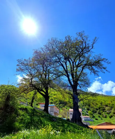
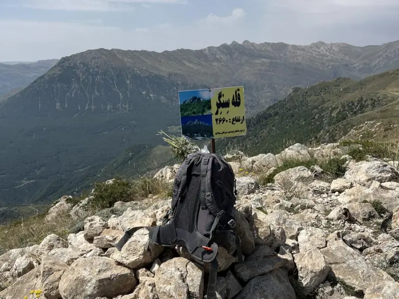
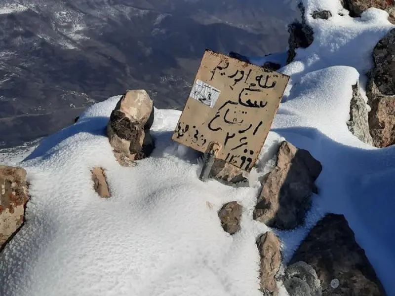
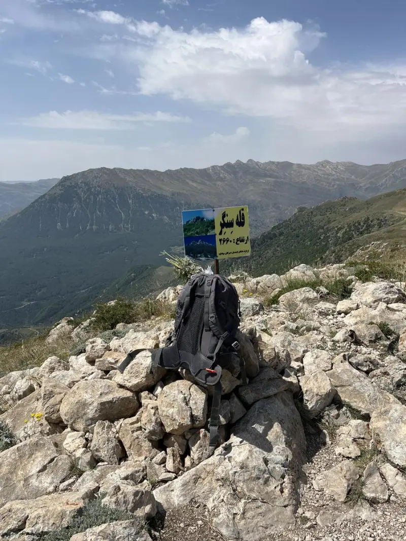
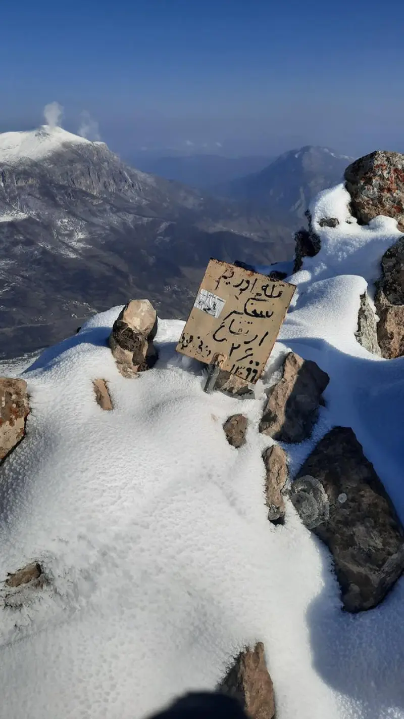
Sangar Peak
A lush peak in the Savadkuh highlands of the Alborz
- Mountain
- Mazandaran, Pol Sefid
- Altitude 2,600 m
- Ability level Intermediate
- Routes 1 recorded route
Ability level:
Intermediate
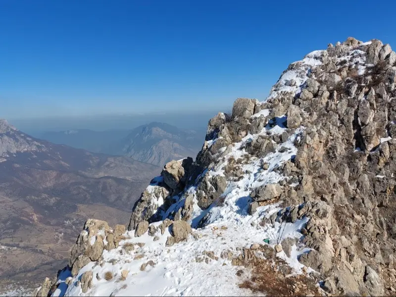
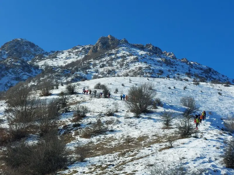
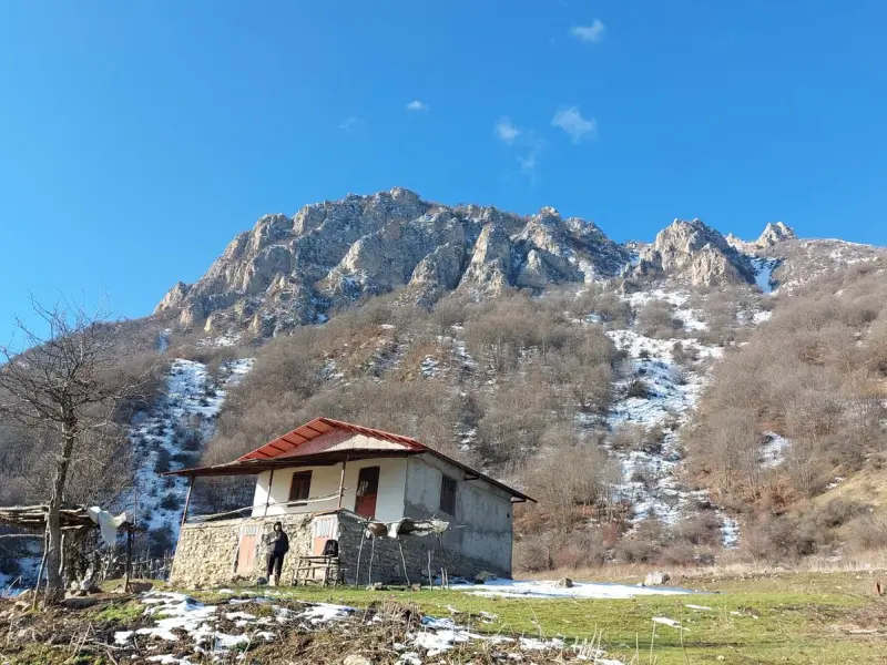
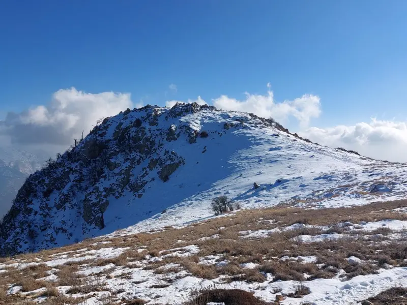
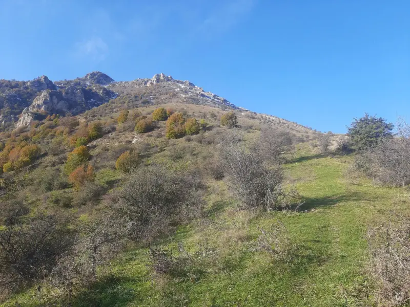
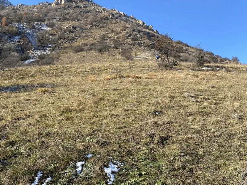
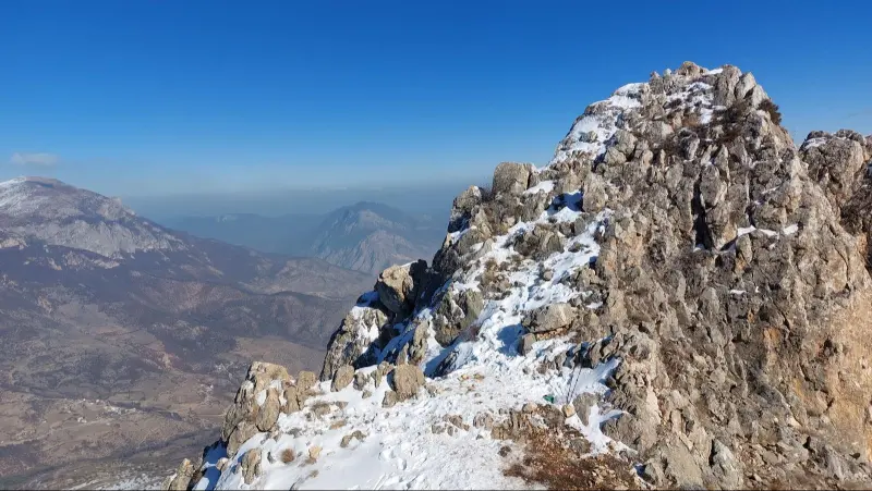
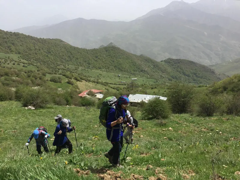
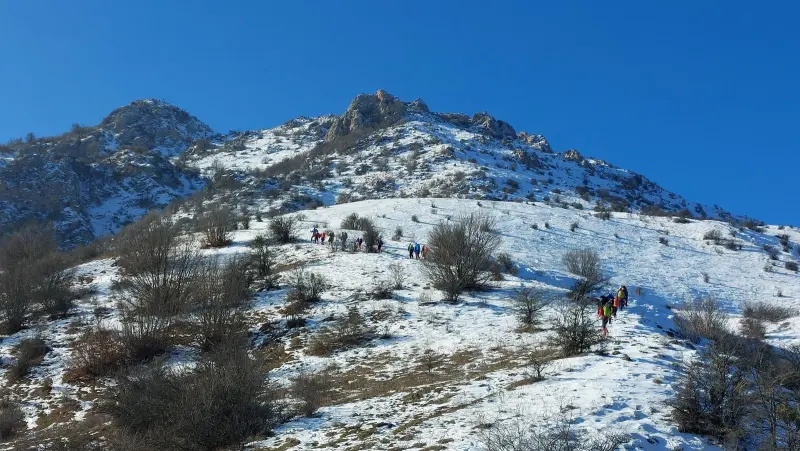
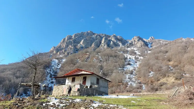
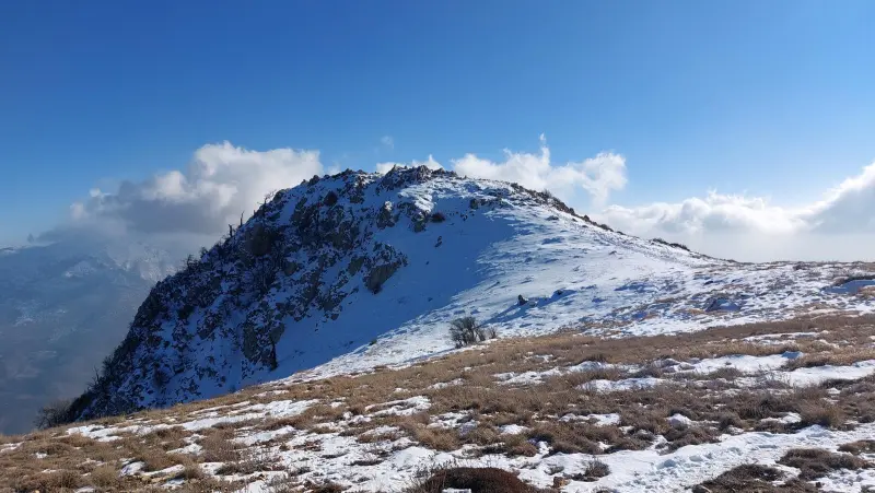
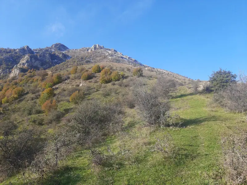
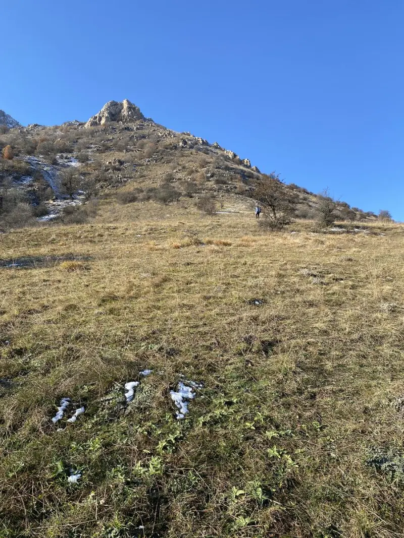
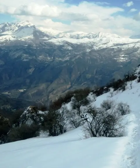
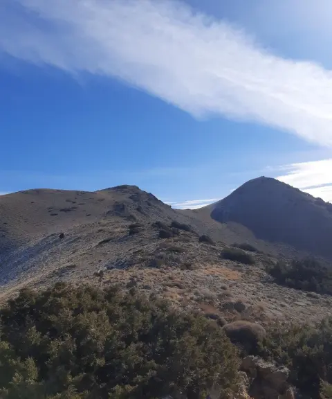
Sangar Peak is one of the summits of the Alborz mountain range in the Savadkuh area of Mazandaran Province. It lies next to Orim Peak, at an elevation of about 2,600 metres above sea level. The peak is part of the Firuzkuh mountains and their secondary ridges, and offers beautiful, eye-catching natural views over the Alborz ridges, the surrounding forests and high-altitude plains. Hiking routes to Sangar Peak start from the village of Orim, and there are several footpaths on the slopes. This has made the peak a popular destination for nature lovers and intermediate climbers in the region.
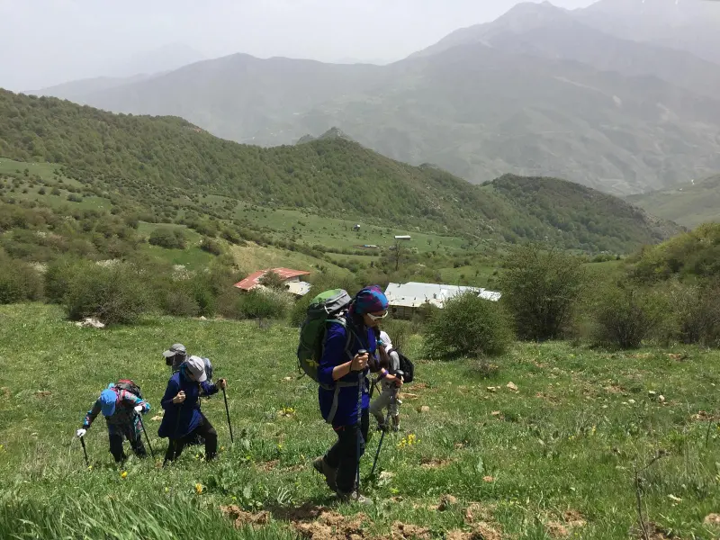
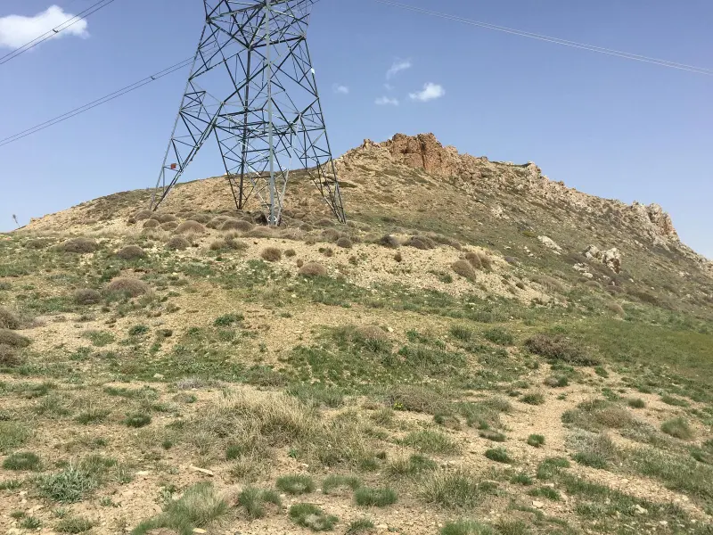
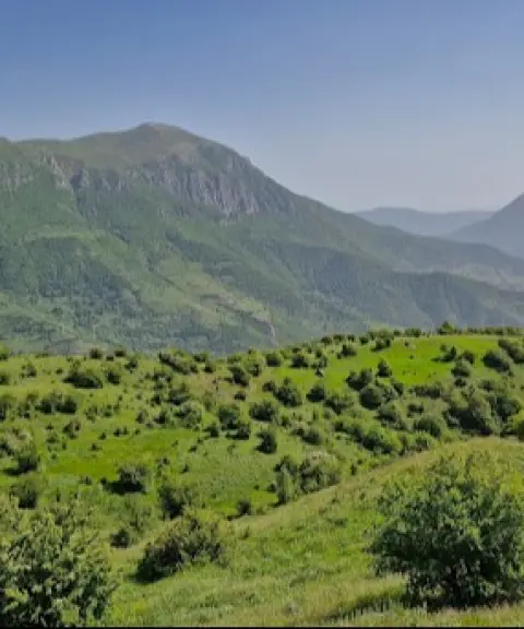
With dense forests on the lower slopes and mountain meadows higher up, Sangar Peak offers a wide variety of natural scenery along the ascent. The trails that start from the village of Orim pass through the pristine forests of the Alborz and green mountain pastures, and in the milder seasons they are lined with wildflowers and lush meadows. These features make the peak ideal for nature tourism, mountain walking and landscape photography.
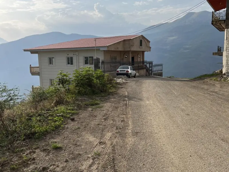
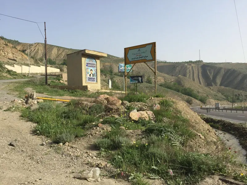
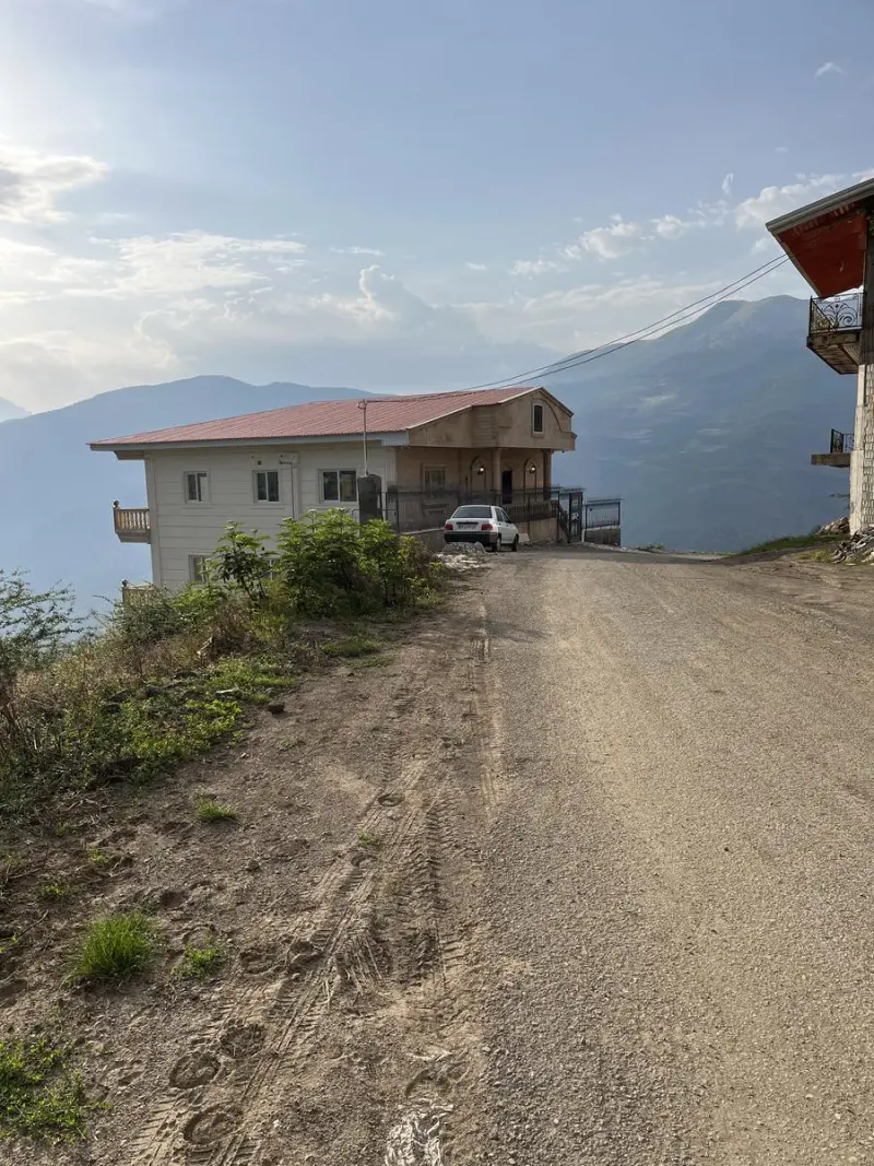
To reach Sangar Peak from nearby towns such as Firuzkuh or Pol Sefid, take the minor roads towards the village of Orim and start your trek from there. The best time to visit and climb is from spring to early autumn, when the trails are drier and the vegetation is at its best. Throughout the route, it is essential to follow the principles of responsible nature tourism, including not leaving litter, respecting the forests and keeping to the marked trails, in order to protect this natural environment.
Written by ستایش عرب Last updated
Activities
What you can do here, and what it takes
-
Mountaineering
صعود به قله سنگر فعالیت ورزشی مناسبی برای کوهنوردان نیمهحرفهای است.
-
Walking
مسیرهای پاکوب از روستای اوریم تا قله مناسب پیادهروی کوهستانی و گشتوگذار در میان جنگلها و چمنزارهای کوهستانی است.
Specifications
Introduction of the location and specifications of Sangar Peak
Location:
Mazandaran, Pol Sefid
Coordinates:
35.94594488, 52.96116114
Open in maps
Height above mean sea:
2600 meter
Floras:
Semi-humid forest-steppe
Faunas:
Presence of Predatory Animals, Presence of Herbivorous Animals
Transports:
Private car, Walking
Tourist Attractions in Pol Sefid
Attractions that are nearby


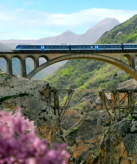
Veresk Bridge
Province Mazandaran
- Walking
A Masterpiece of Engineering Suspended Over the Valleys of the Alborz
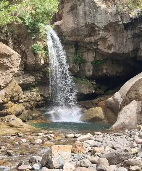


Sorkhani Peak
Province Mazandaran
- Mountaineering
- Walking
Unfortunately, no comments have been registered.