
 Mountain
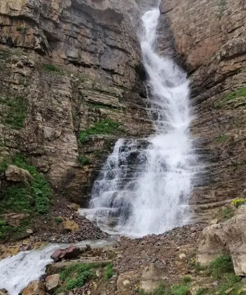

Siah Cheshman Waterfall
Province Mazandaran
- Walking
- Swimming
- Mountaineering
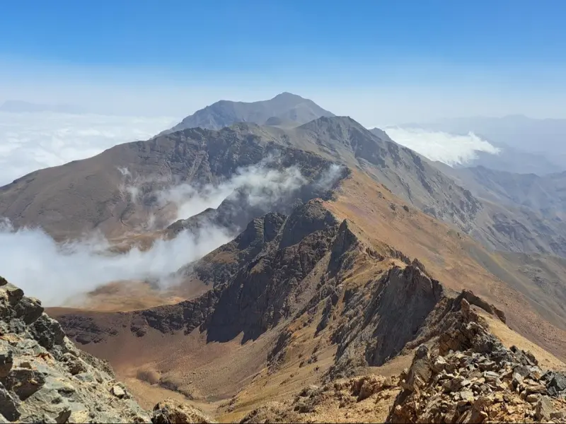
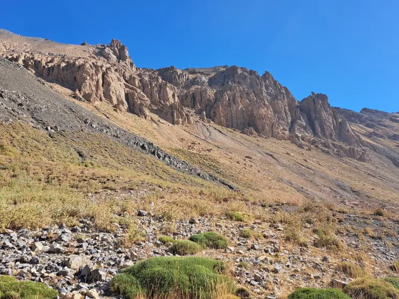
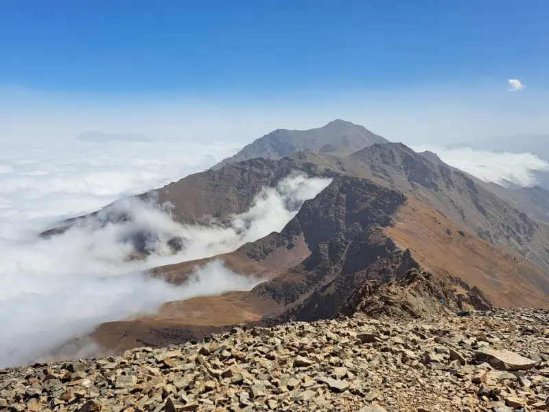
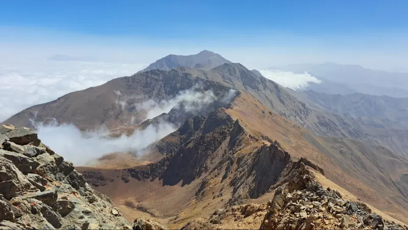
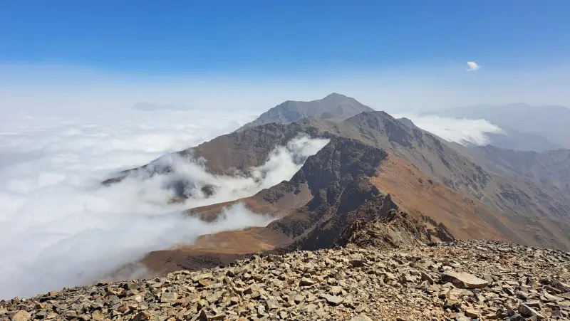
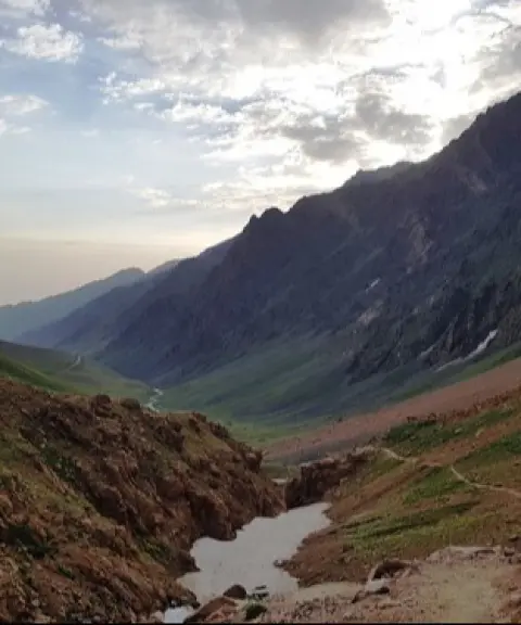
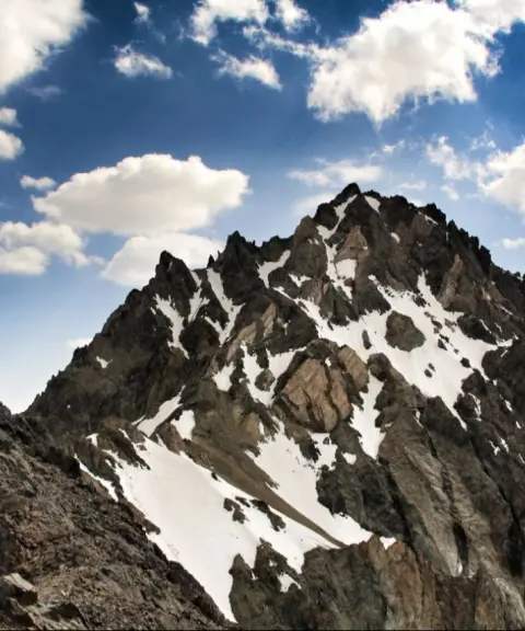
Alaneh Sar Peak is one of the high summits of the Alborz mountain range. It lies in the Takht-e Soleyman region of northern Savadkuh, in Mazandaran Province, on the Alam-Kuh ridgeline, close to the villages of Parachan, Narian, Elit and Delir. Some sources record its height as about 4,065 metres. It is part of the important heights of the Central Alborz and stands next to major peaks such as Zarrineh-Kuh, Lashgarak (Big and Small), Khers-Char and Lajipareh, which makes it one of the main destinations for mountaineering and nature tours in the region. Alaneh Sar lies in the southern part of Takht-e Soleyman, so its northern side leads down to the forests and lower valleys of the Alborz, while its southern side ends in the plains of Taleqan. As a result, the climb offers breathtaking views of the highlands and the surrounding nature.
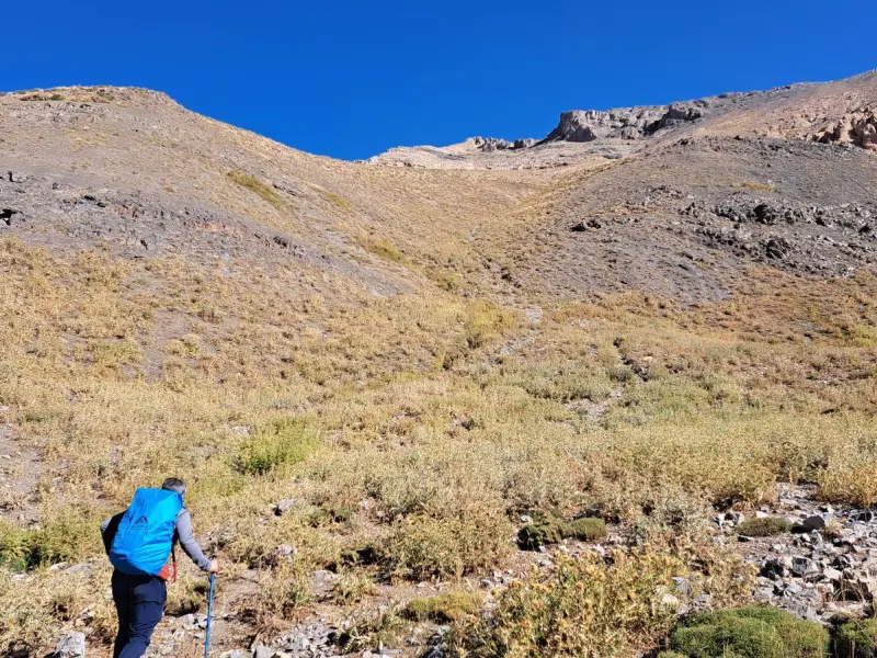
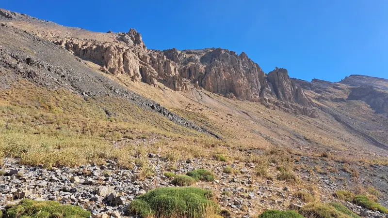
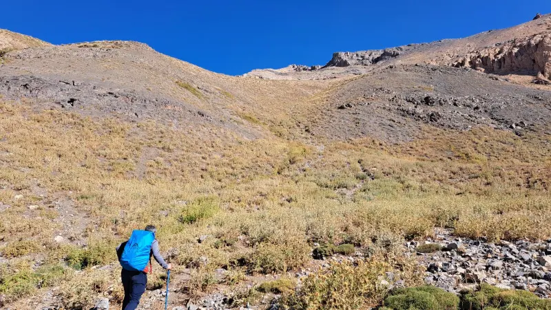
The ascent of Alaneh Sar is usually made along difficult and fairly technical routes that follow ridges and valleys, including the northwest and south ridges and the shoulder sections of the main ridgeline. The length of the route and its landslide-prone, rocky terrain make this peak suitable for experienced climbers in good physical condition. From the lower parts of the route up to near the summit, the vegetation is mainly mountain pastures, grasslands and, in places, shrubs adapted to the mountain climate. As you gain altitude, the slopes become steeper and the ground harder, and more attention to safety is needed.
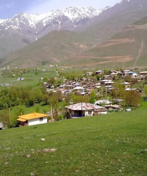
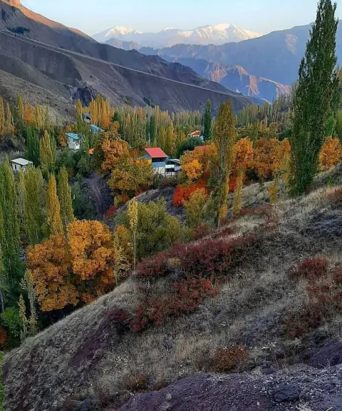
To reach Alaneh Sar, the trek usually starts from the Taleqan area or from the surrounding villages (Parachan, Narian, Elit and Delir), which can be reached by side roads off the Chalus Road. The best time to climb and visit the peak is late spring, summer and early autumn, when the routes are relatively dry and suitable for climbing. At the same time, it is essential to follow mountain safety rules and practise responsible nature tourism. This means carrying suitable equipment, planning your route carefully and respecting the region's vegetation and wildlife.
Written by ستایش عرب Last updated
What you can do here, and what it takes
مسیرهای یالها و درهها در خطالرأس آلانهسر مناسب برنامه کوهنوردی حرفهای و چندساعته است.
بخشهای اولیه مسیر برای پیادهروی کوهستانی و مشاهده مناظر جنگلی و مرتعی مناسب هستند.
Province Mazandaran
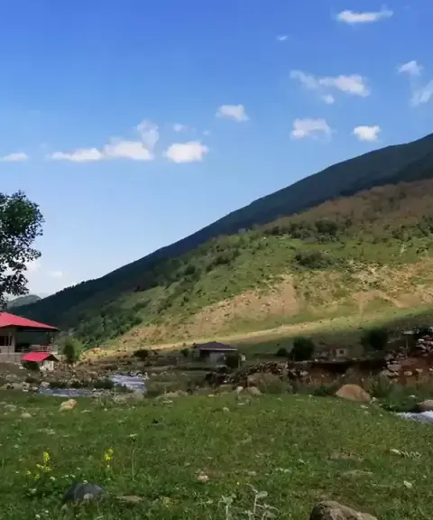
Province Mazandaran
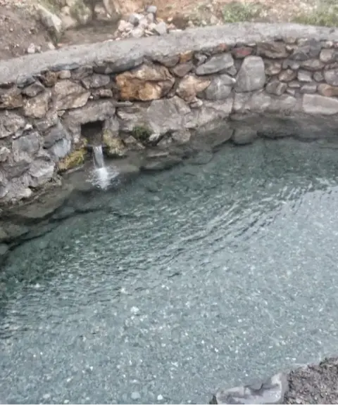
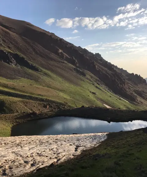
Province Mazandaran
Province Mazandaran


Unfortunately, no comments have been registered.