
 Attractions
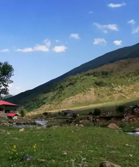
Dalir Village
Province Mazandaran
- Walking
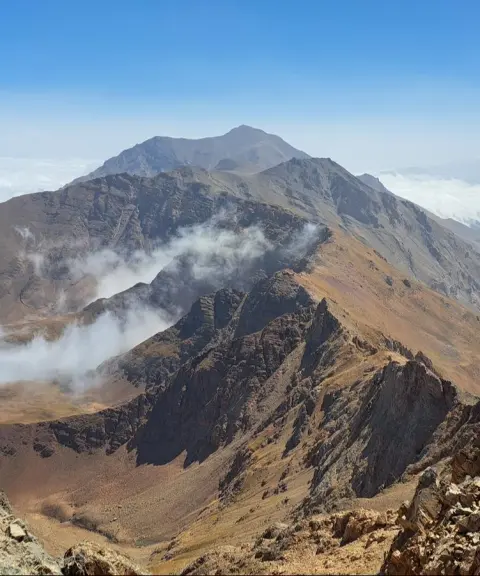
- Mountaineering
- Canyoning
- Swimming
A Summer Pasture Paradise in the Heart of the Mazandaran Mountains
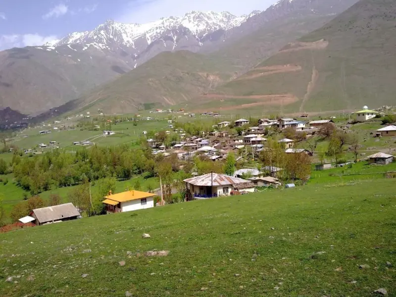
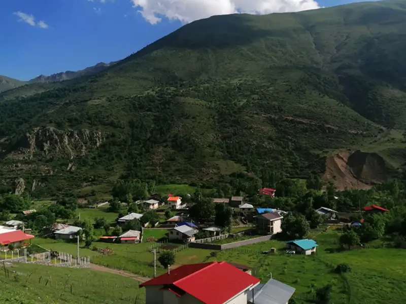
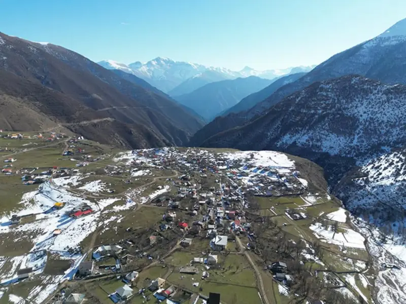
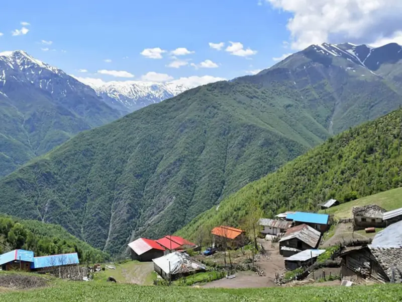
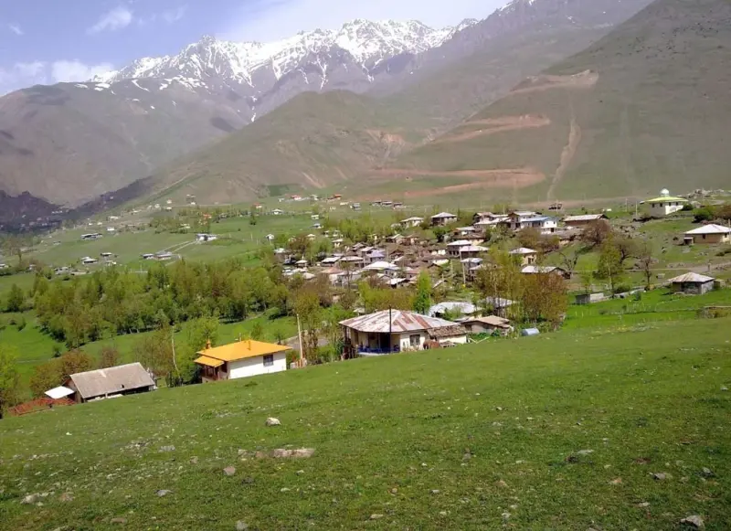
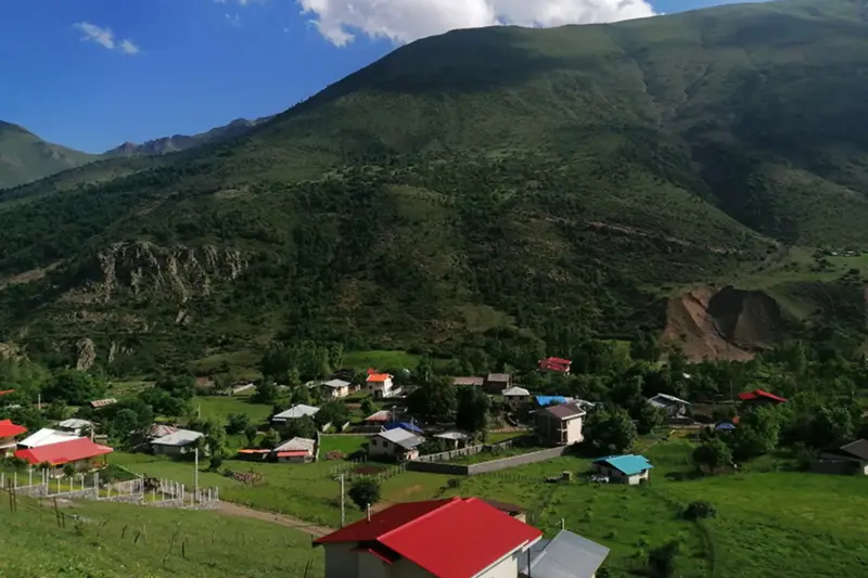
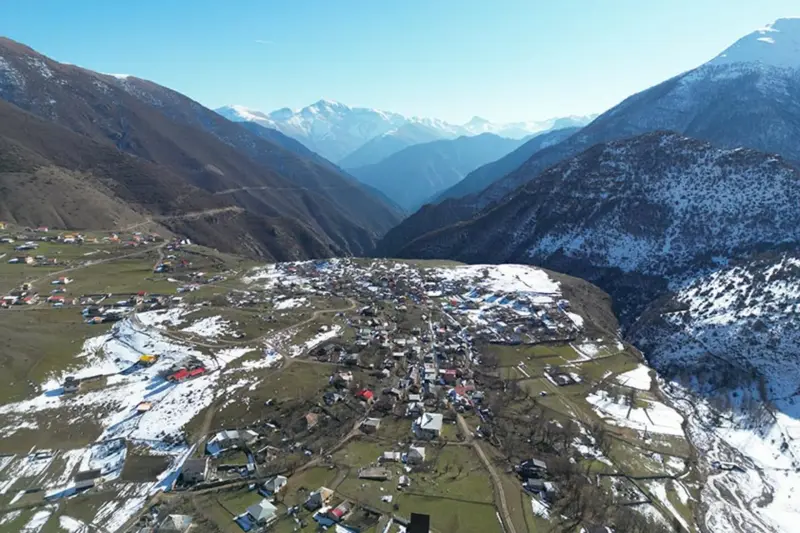
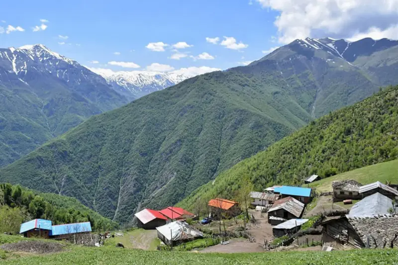
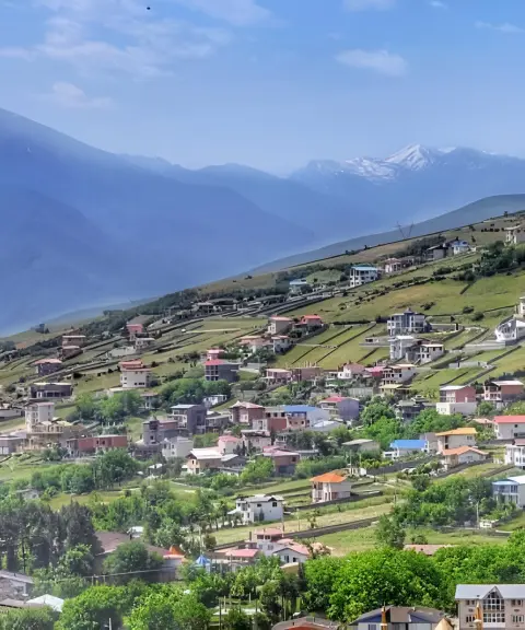
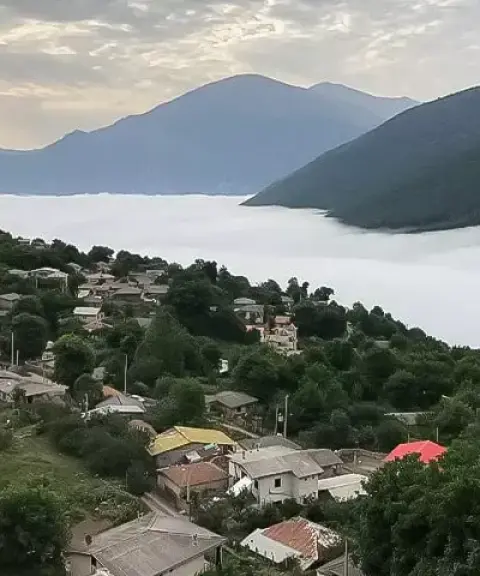
Elit is one of the summer-pasture (yeylaq) villages of Marzanabad District in Chalus County, Mazandaran Province, known for its pleasant climate. The village lies in Kuhestan Rural District, about 40 km southwest of the town of Marzanabad. According to the 2006 census (1385), Elit had a population of about 100 people in 25 households; by the 2016 census (1395) this had grown to about 250 people in 83 households. The villagers are Tabari people and speak the Kelarestaqi dialect. In the Tabari language, the name "Elit" or "Elat" means "the place of the eagle" and derives from the Mazandarani word "Alle," meaning eagle, a name that suits the village's high elevation and mountain scenery well.
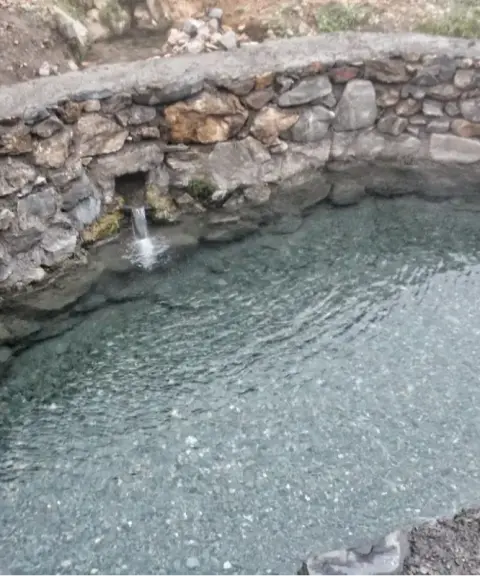
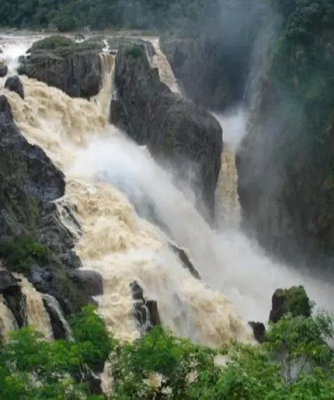
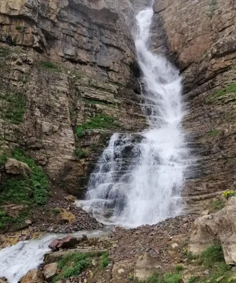
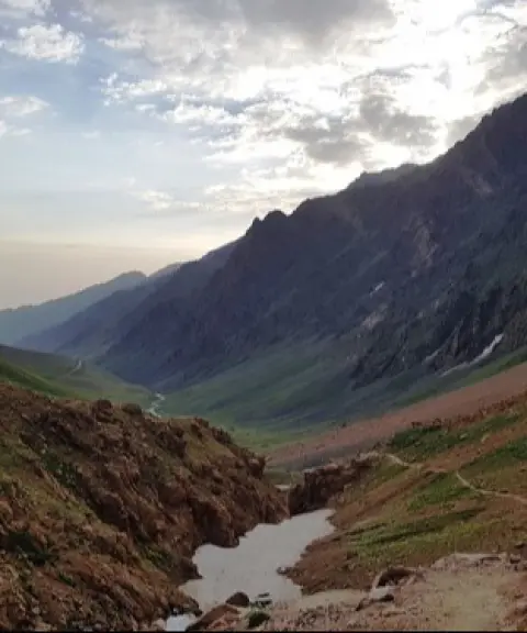
The nature around Elit is a striking blend of dense forests, lush pastures, clear springs and high foothills. Among the area's natural attractions, Elit Valley holds a special place: a deep, steep valley with roaring rivers, rock walls and successive waterfalls, often described as one of the most difficult and challenging canyons in Iran. Around the village many springs flow, the most notable of which are Espeh-a, Qolqol, Eshkarozan, Espero, Siyachəman and Suznak. The traditional houses of Elit are also an authentic example of Mazandaran village architecture. Most are single-storey and built from local materials such as stone, wood, mud and straw-clay plaster, and their wooden roofs are covered with thick beams to withstand the mountain cold.
To reach Elit, first take the Chalus–Marzanabad road. After reaching Marzanabad, continue about 40 km along a mountain road until you reach the side road leading to Elit. The route includes steep mountain gradients and high passes, so driving it requires caution. The village sits at an elevation of roughly 2,000 metres above sea level. Its weather is mild and pleasant in spring and summer, and cold with snowfall in winter. The best time to visit is from spring to early autumn, when the landscape is green, the springs are full and the weather is more agreeable. Responsible nature tourism is especially important here: take your rubbish back with you, stay on marked trails, avoid lighting fires in unauthorized places, and respect the village's traditional architecture and tranquillity.
Written by ستایش عرب Last updated
What you can do here, and what it takes
مسیرهای شیبدار اطراف دره الیت و کوهپایهها فرصت پیادهروی در طبیعت برای بازدیدکنندگان فراهم کردهاند.
Province Mazandaran
Province Mazandaran
Province Mazandaran
Province Mazandaran
Province Mazandaran


Unfortunately, no comments have been registered.