
 Mountain
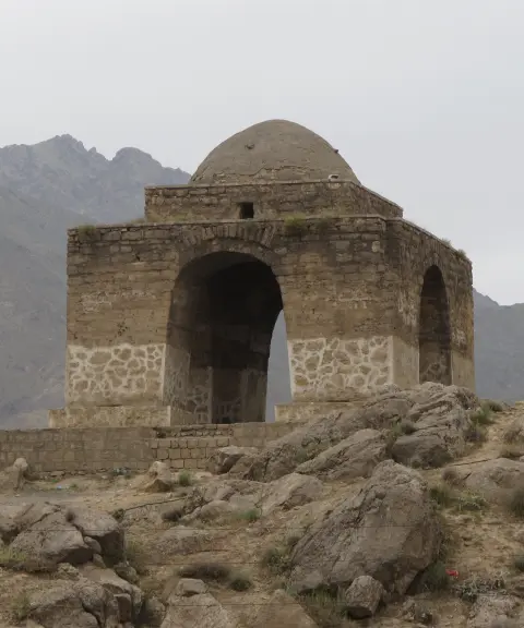

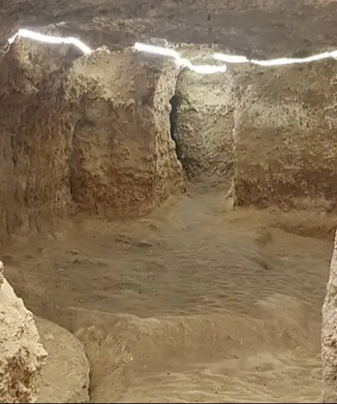
Niasar Fire Temple
Province Isfahan
- Walking
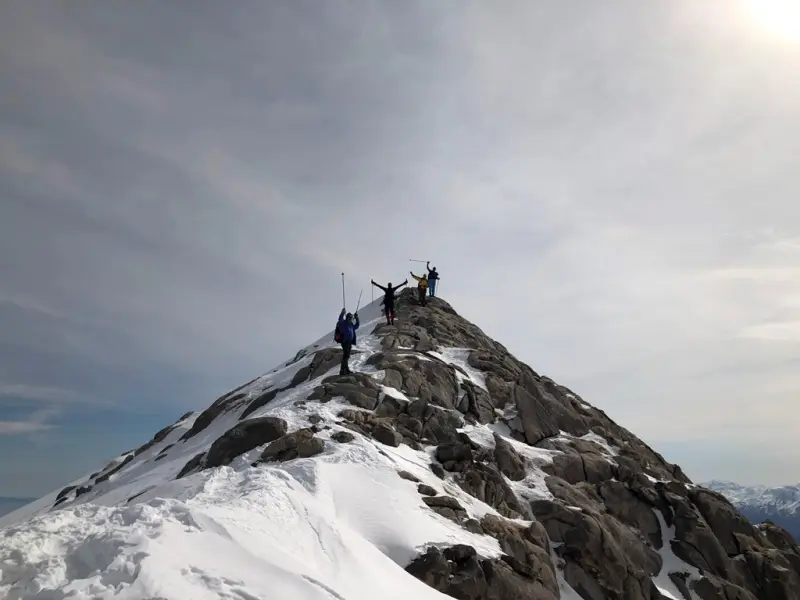
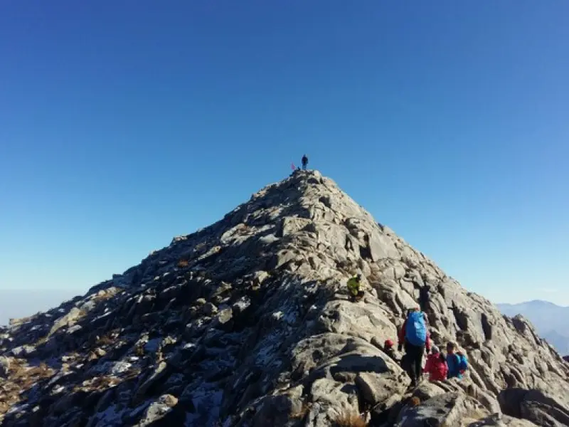
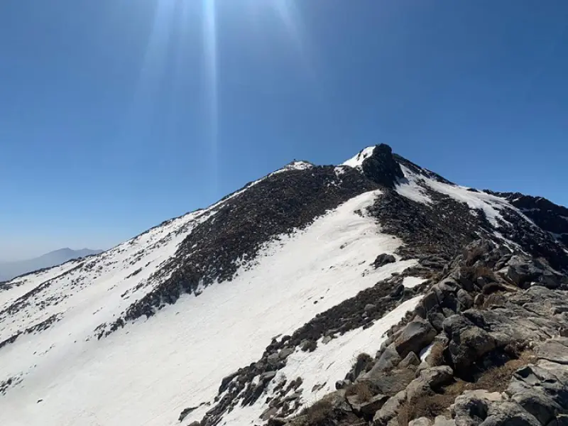
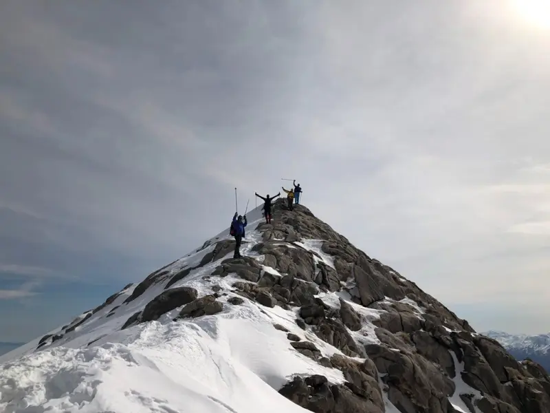
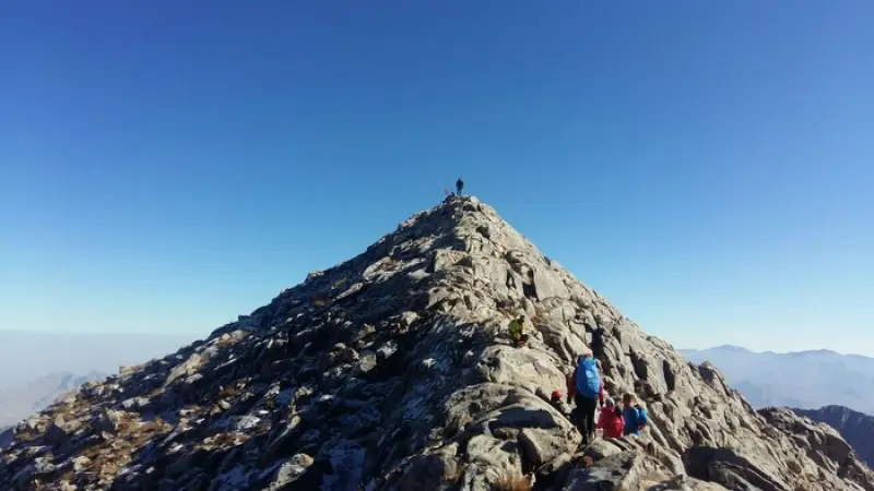
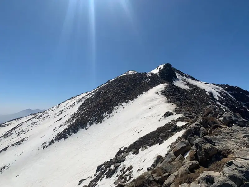
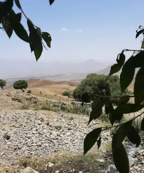
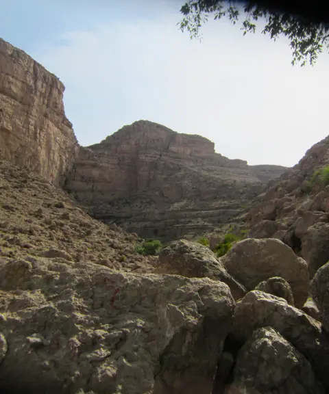
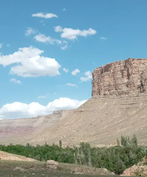
Domir Peak, also known as Ardehal, stands at 3,505 meters and is the highest peak in Markazi Province and one of the important summits of Iran's mountain ranges. Because of this, it is included among the peaks of Iran's Simorgh mountaineering project. Domir Peak is located in Delijan County, Central District, Hastijan Rural District. Around the summit there is a group of mountains higher than 3,000 meters, the most important of which are Hoodang Peak (3,280 meters), Angureh (3,250 meters), Chal Kaman (3,050 meters) and Marfiyun (3,070 meters). The peak lies on the shared border of Markazi and Isfahan provinces, and thanks to its easy access from cities such as Delijan and Kashan, it is a destination for many climbers every year. It is considered one of the continuous central mountains of the country. In the Raji language, “Domi” means tall-faced and “Ar” means majestic. Domir therefore means tall-faced and majestic, and Ardehal means “sacred mountain” in the Pahlavi language.
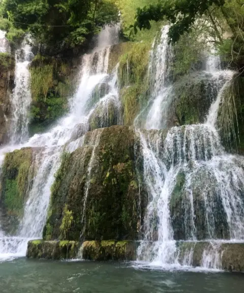
This mountain range has a varied cover of Iranian mountain plants such as thyme, various kinds of barij (galbanum), asafoetida, wormwood, various kinds of milkvetch (gavan), tareh, nettle, wild barberry, zarrin-giah, pennyroyal (pudineh) and yarrow. Animals such as wild boar, fox, jackal, wolf, hare, various snakes and chameleons can also be seen in the area.
The Domir massif has several long ridges that branch off from the main summit and hold several distinct peaks above 3,000 meters. Climbing each of these peaks takes one to one and a half days. Domir, or Ardehal, has several ascent routes. The northern route from Neshalj village is the best-known one. Because the route is long, with about 20 kilometers of trekking to the summit and then back, it is recommended for more experienced climbers. The ascent from the western route, which is the shortest, starts from Mazvash village. On the Mazvash route you gain about 900 meters of elevation over 4 kilometers of trekking. Thanks to its gentle slope and the absence of technical rock faces, this route is also suitable for climbers with moderate experience. The eastern route starts from Marq village and the southern route from Ghaleh Har village.
Written by کیانا دهبندی Last updated
What you can do here, and what it takes
این قله از چهار مسیر قابل پیمایش و صعود میباشد و میزان آمادگی جسمانی مورد نیاز بسته به مسیر انتخابی شما میباشد.
Province Isfahan
Province Isfahan
Province Isfahan
Province Markazi
Province Markazi
Province Isfahan


Unfortunately, no comments have been registered.