
 Attractions
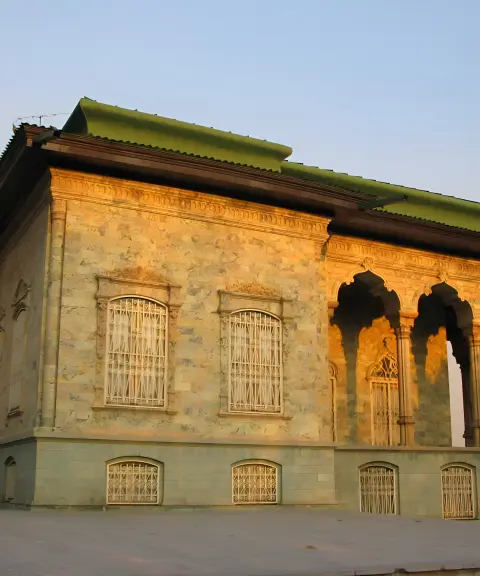
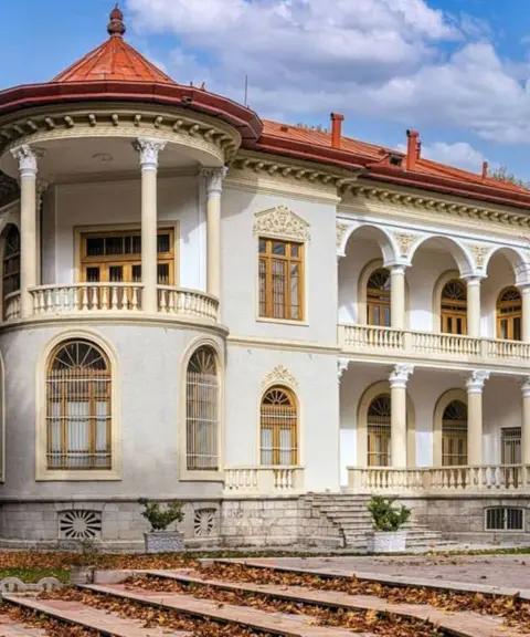
Green Palace
Province Tehran
- Walking
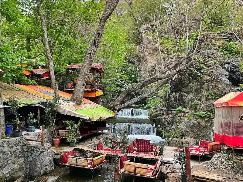
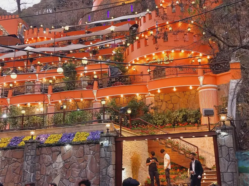
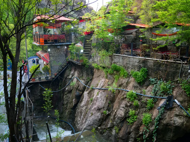
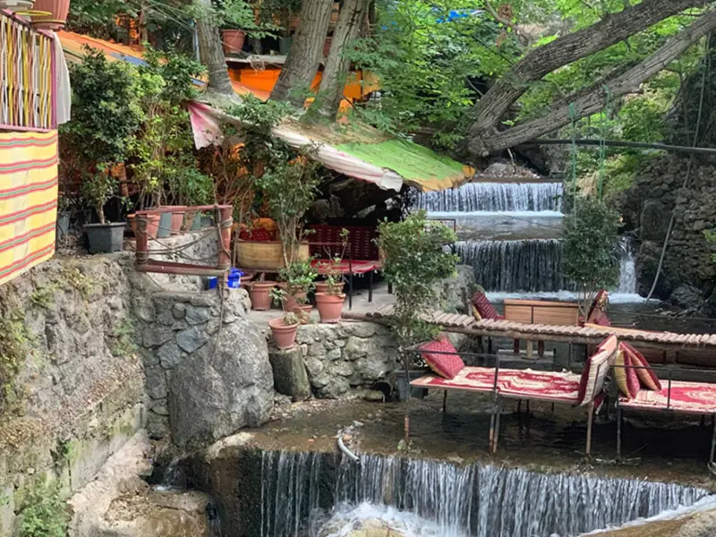
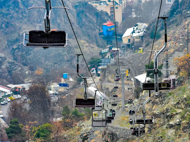
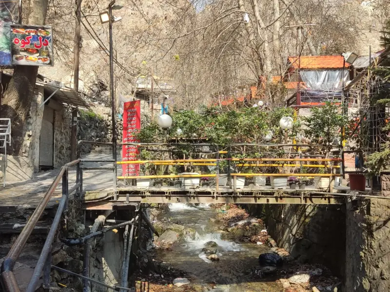
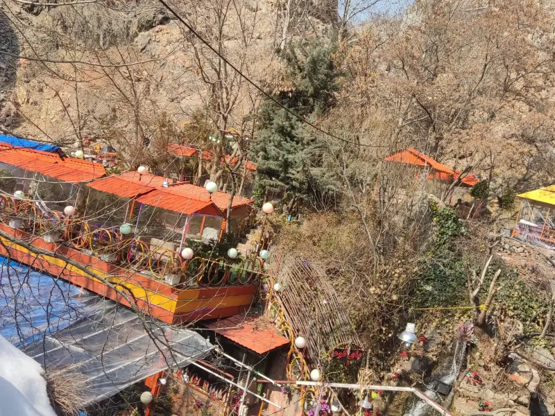
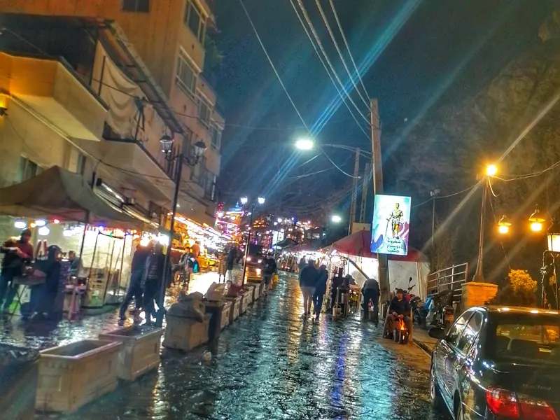
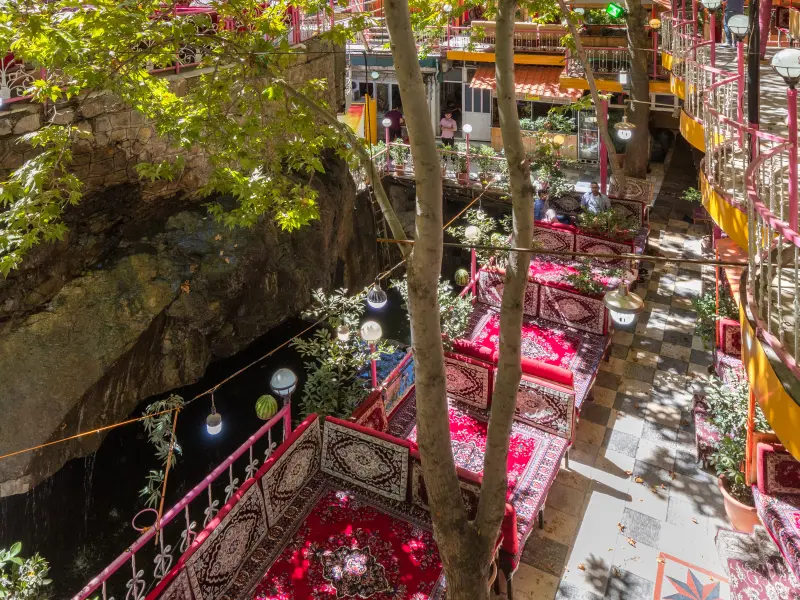
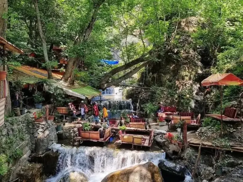
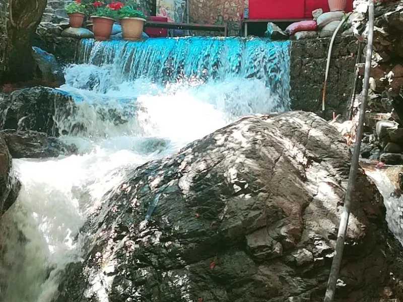
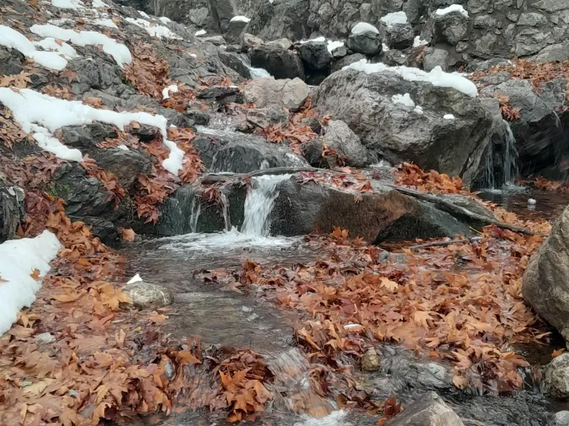
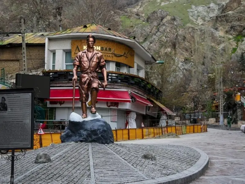
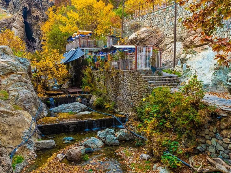
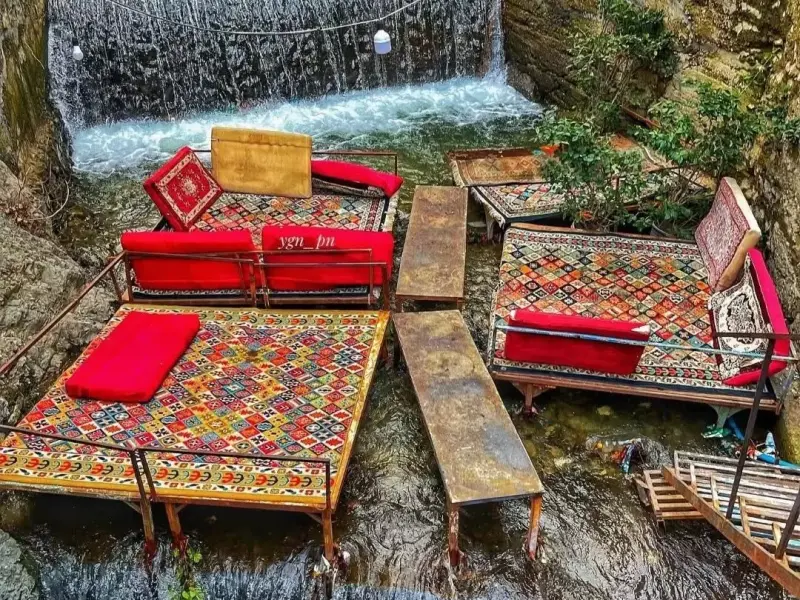
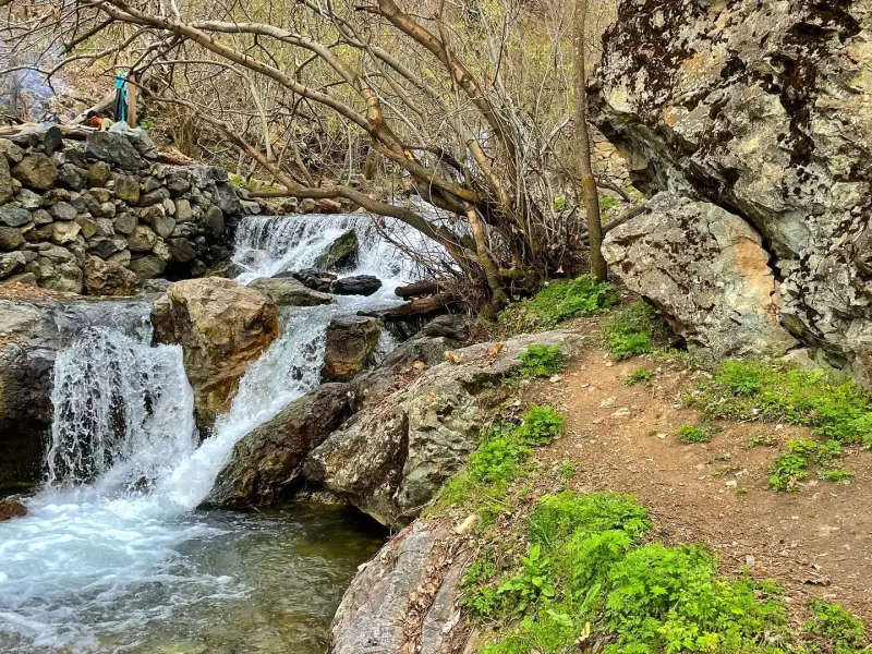
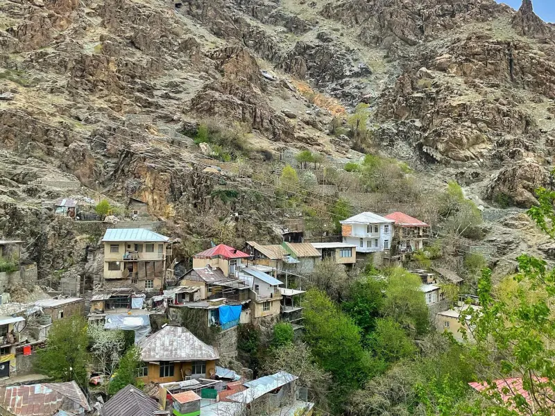
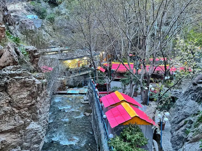
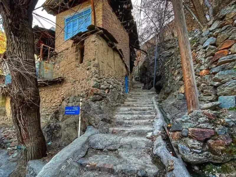
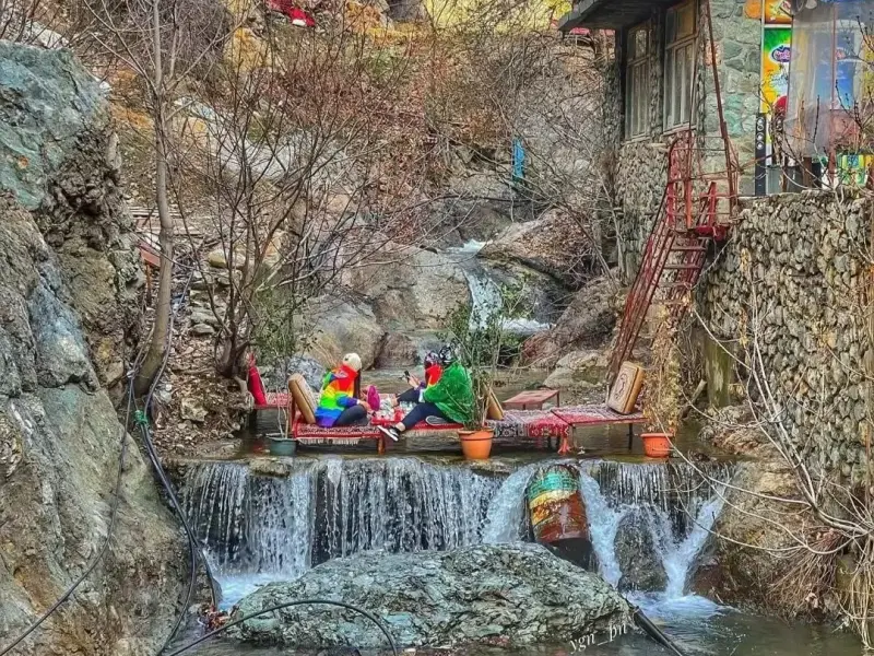
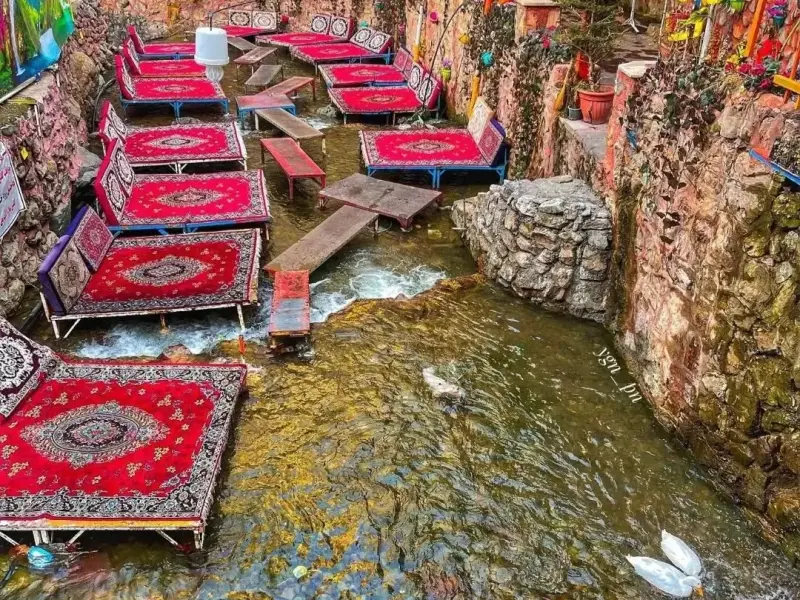
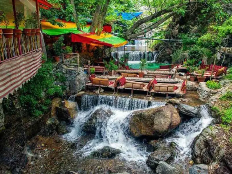
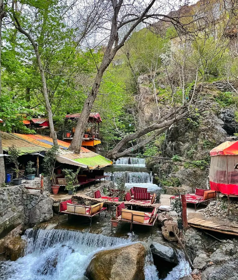
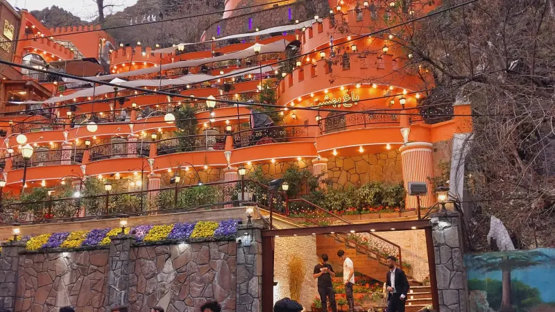
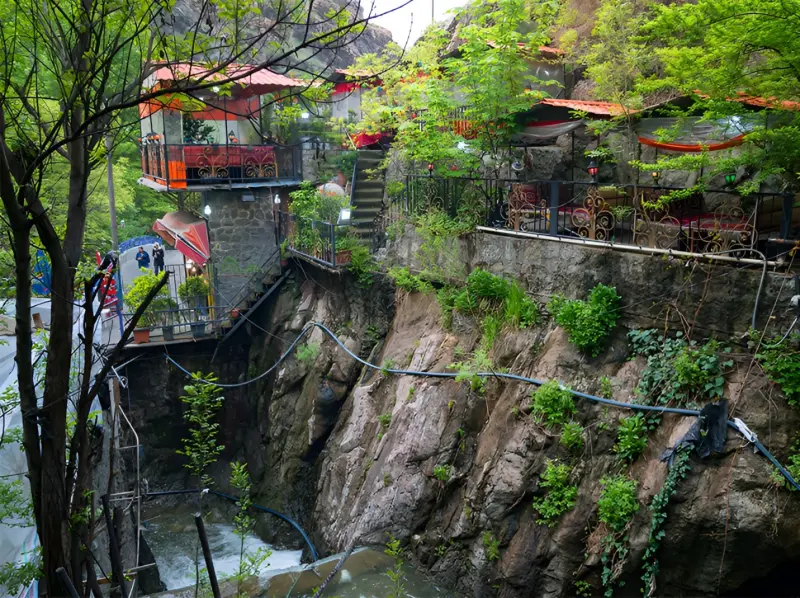
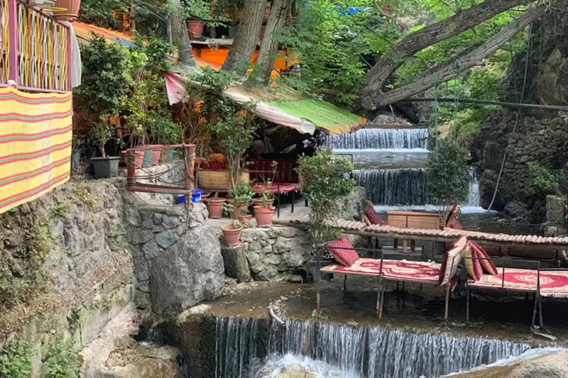
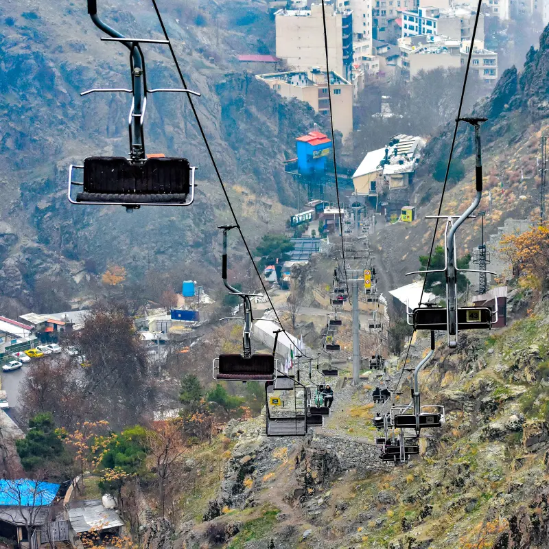
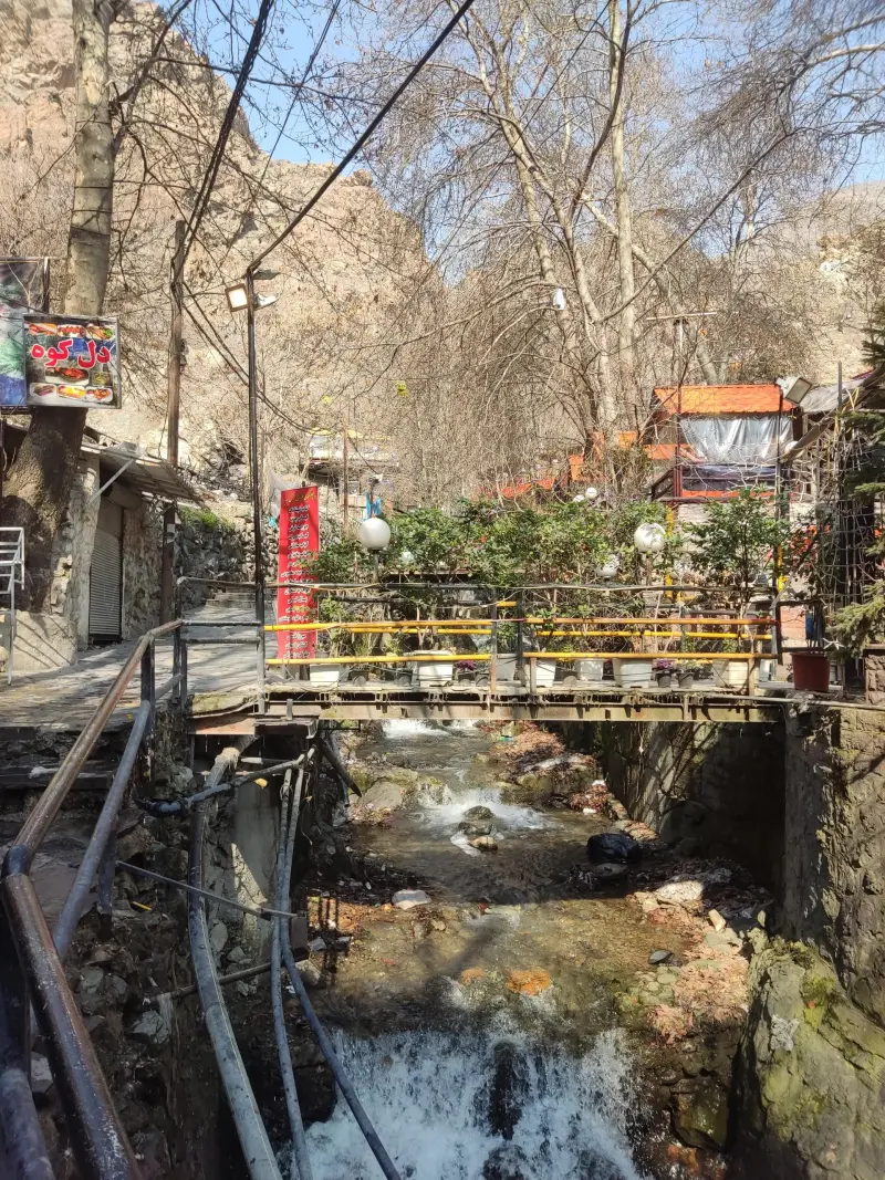
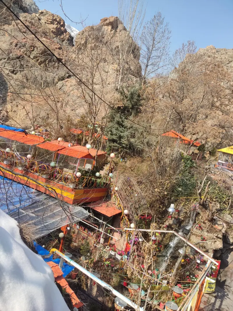
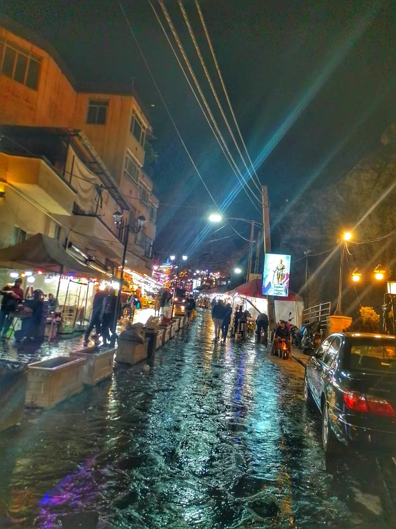
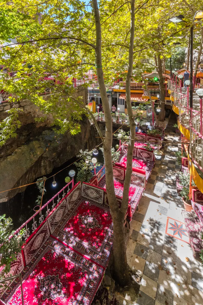
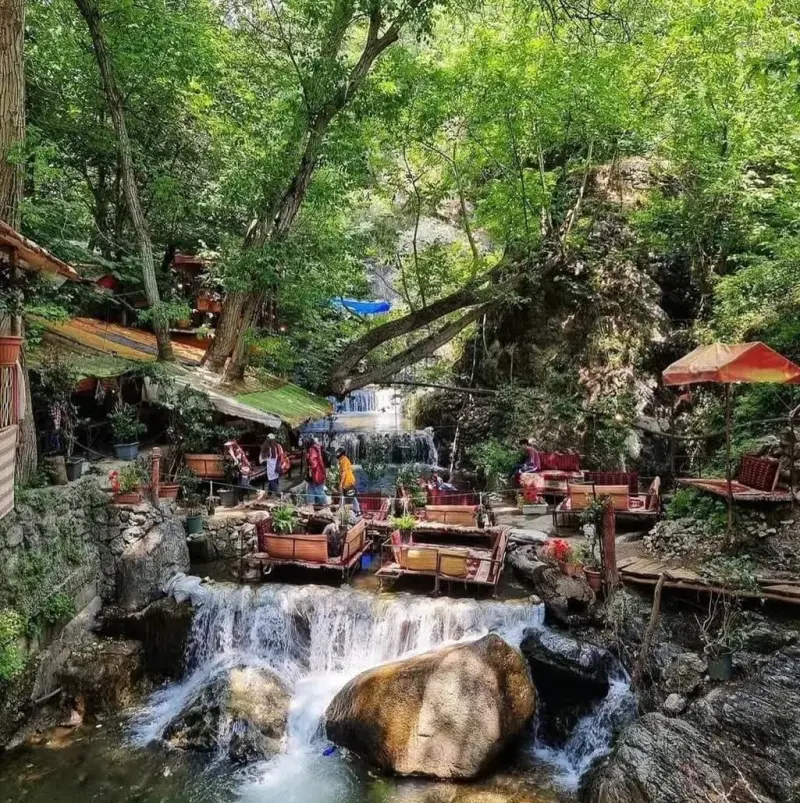
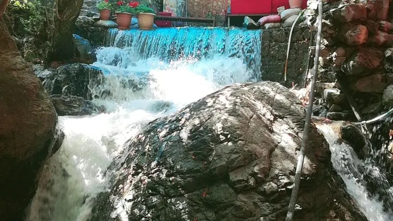
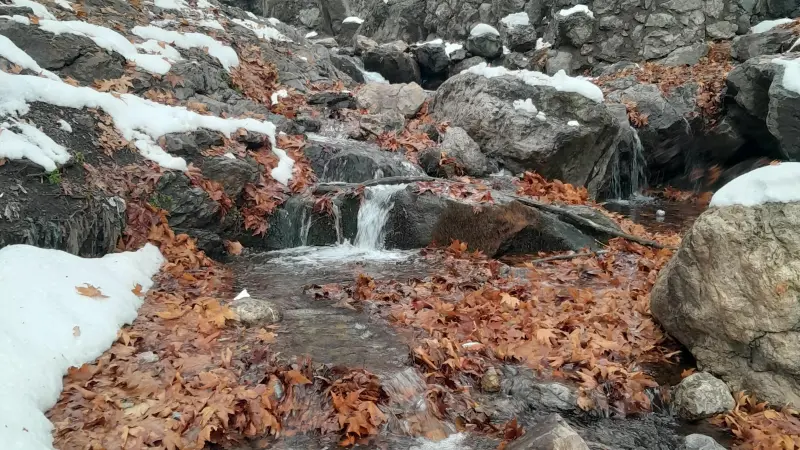
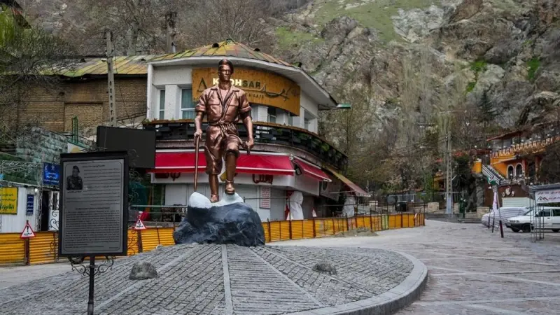
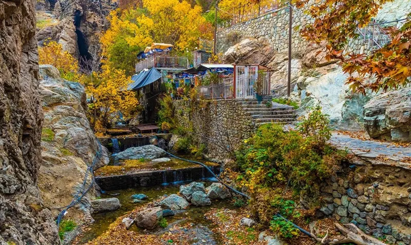
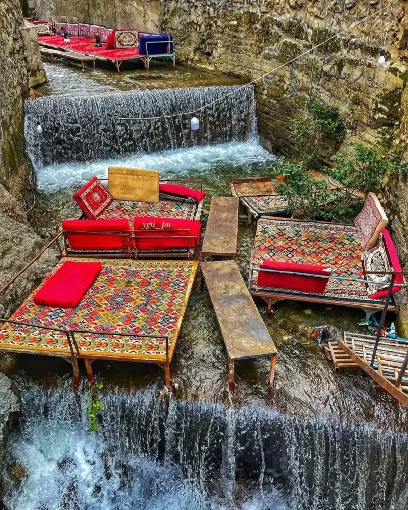
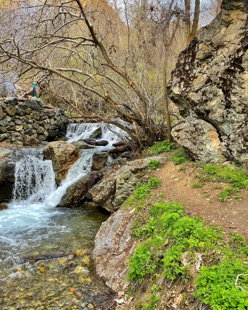
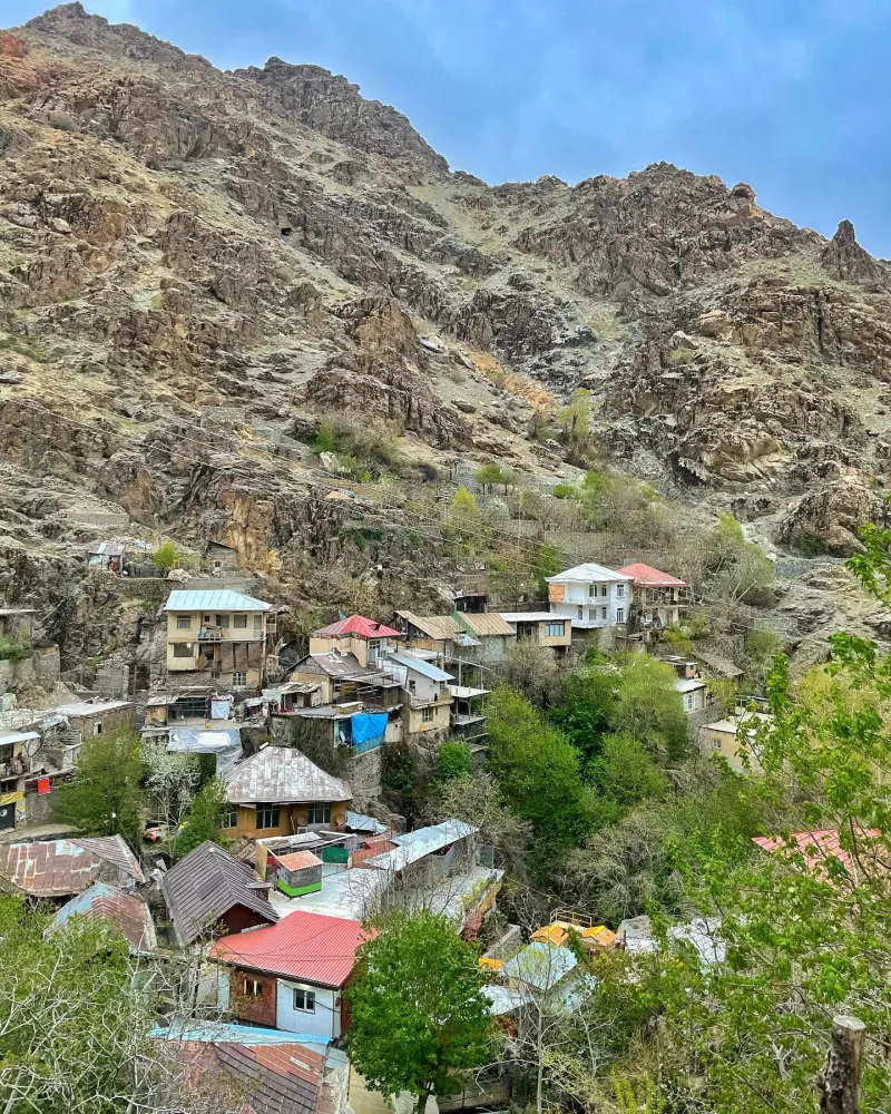
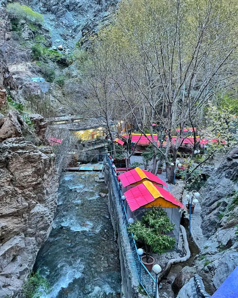
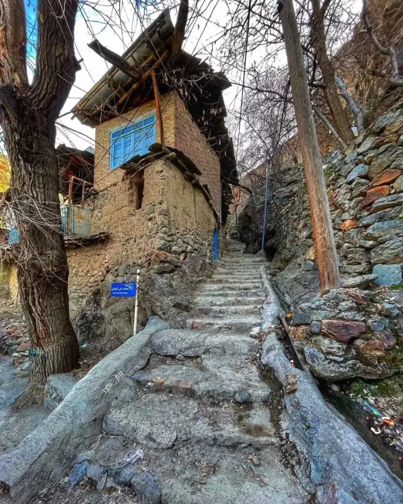
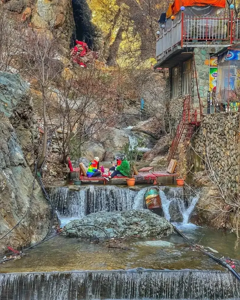
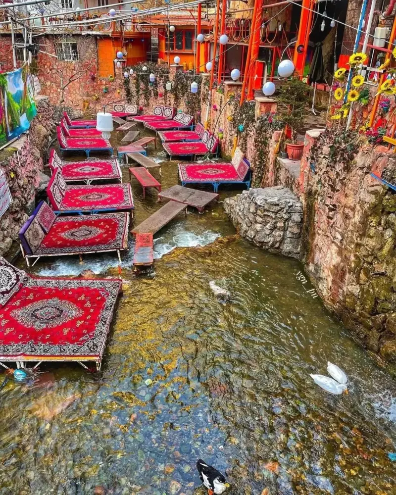
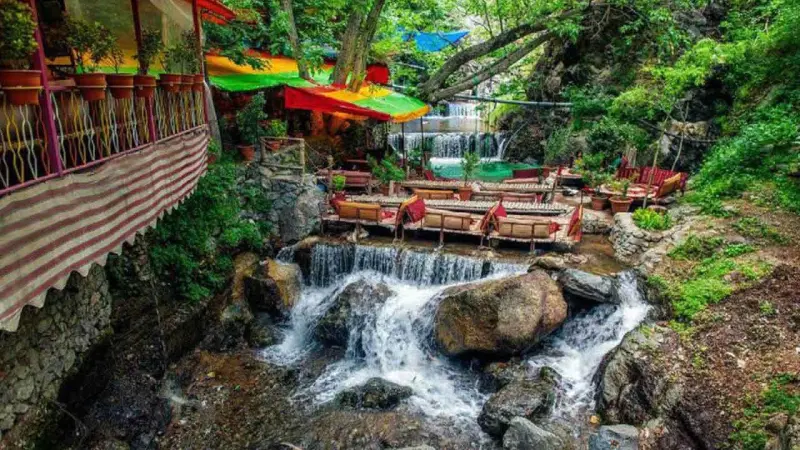
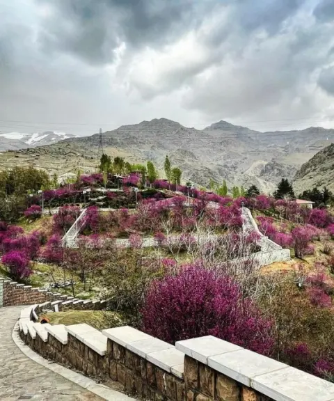
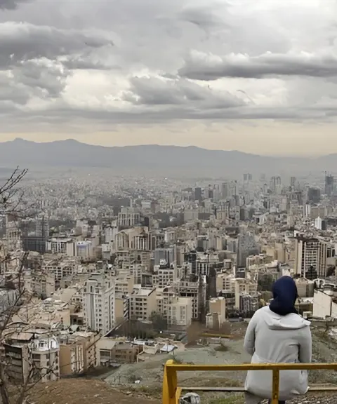
Darband is one of the most popular and oldest mountain areas in the north of Tehran. It lies on the slopes of the Alborz range, within the Shemiran district. The neighborhood was once a small village, but today it is known as a favorite destination for nature lovers and city visitors alike. A pleasing combination of mountain trails, small streams, cafés and green spaces makes Darband a delightful place to visit.
The area's standout feature is its hiking trails, which lead up to the Tochal summit. These routes suit both experienced mountaineers and those who enjoy an easy mountain walk. Along the trails are traditional and modern cafés and restaurants where you can rest, drink tea and enjoy the surroundings. The Darband River flows through the neighborhood, and its main valleys include Oson Valley, Abshar Valley, Emamzadeh Ebrahim Valley, Kak Valley, Ab-e Shirdareh and Zoun Valley. Darband Street begins at Ghods Square at an elevation of 1,600 meters and ends at Sarband Square at 1,800 meters. In the past, Darband was home to some Qajar princes, such as Prince Allahverdi Mirza and Abolmoluk Keyumars Mirza, and the Qajar king Naser al-Din Shah also frequented the area on the way to Pas-Ghaleh and the waterfall.
Because of its high elevation, Darband stays cool and pleasant even in summer. By following responsible nature-tourism practices, visitors can enjoy walking along the paved paths, photographing the natural scenery and spending time in a calm, green setting. To reach Darband, head to Tajrish Square and enter via Darband Street, then take a taxi or private car to the neighborhood entrance and the start of the mountain trail. The area is laid out to offer a pleasant and safe experience of hiking and spending time in nature.
Written by زهرا لنگری Last updated
What you can do here, and what it takes
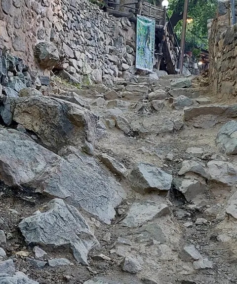
مسیرهای سنگفرش و جنگلی اطراف رودخانه و کافهها مناسب پیادهروی تفریحی و طبیعتگردی سبک هستند.
مسیر دربند به قله توچال یکی از مسیرهای اصلی کوهنوردی در تهران است.
Province Tehran
Province Tehran
Province Tehran
Province Tehran
Province Tehran
Province Tehran
Unfortunately, no comments have been registered.