
 Mountain
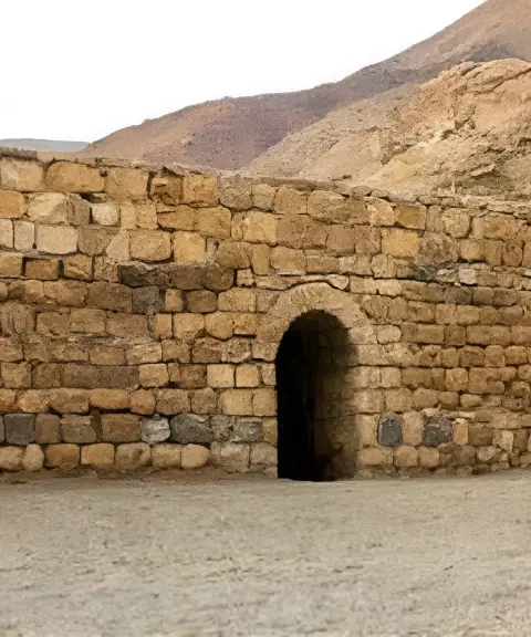

Shah Abbasi Caravanserai of Khoy
Province West Azerbaijan
- Walking
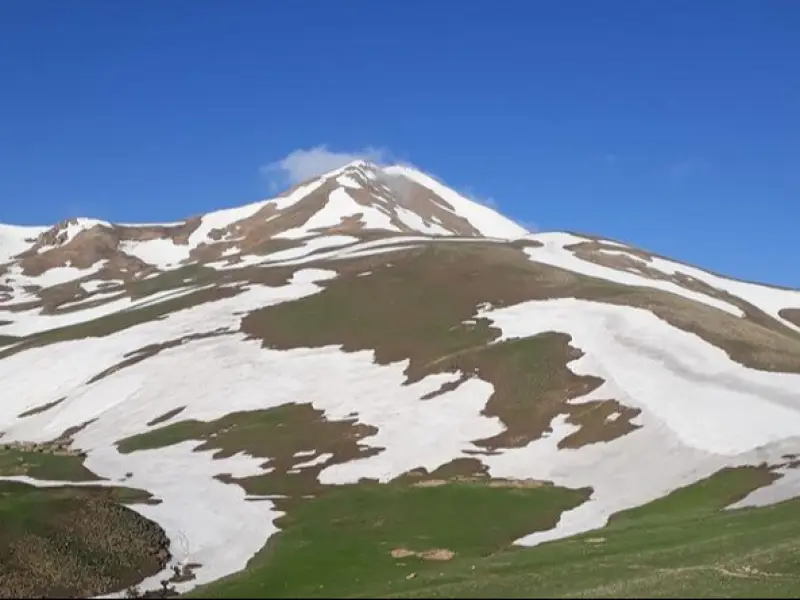
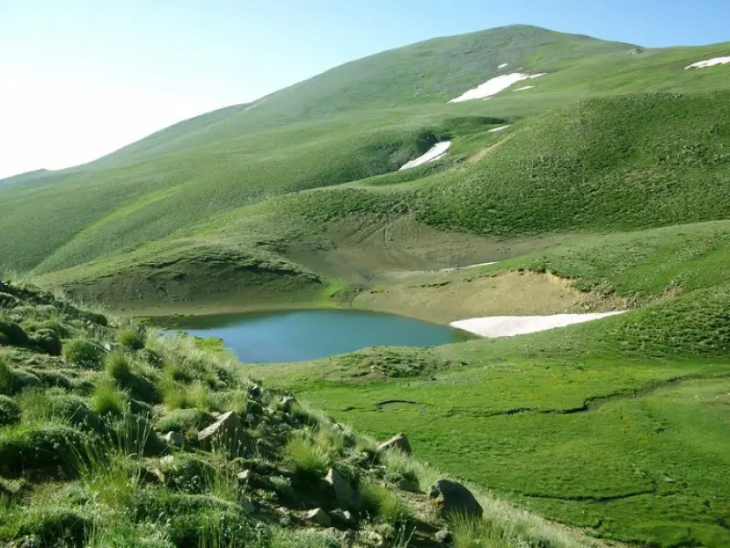
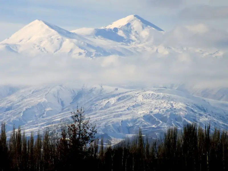
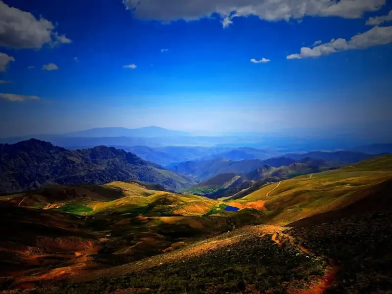
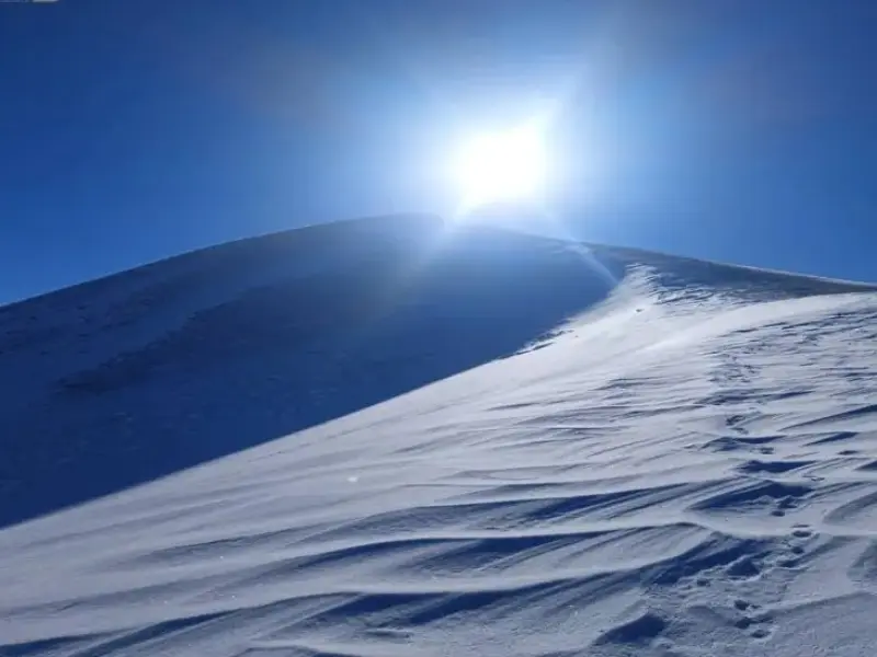
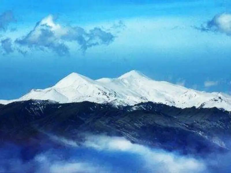
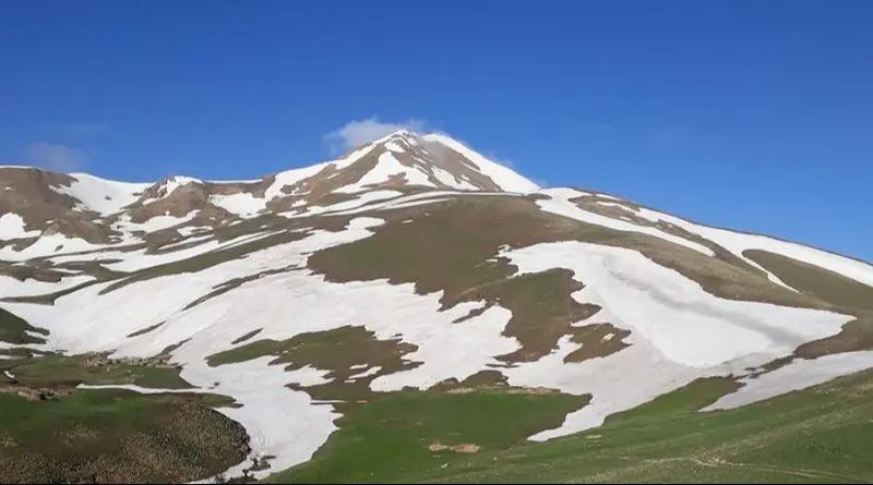
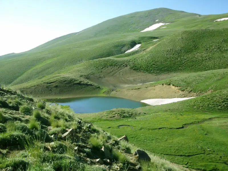
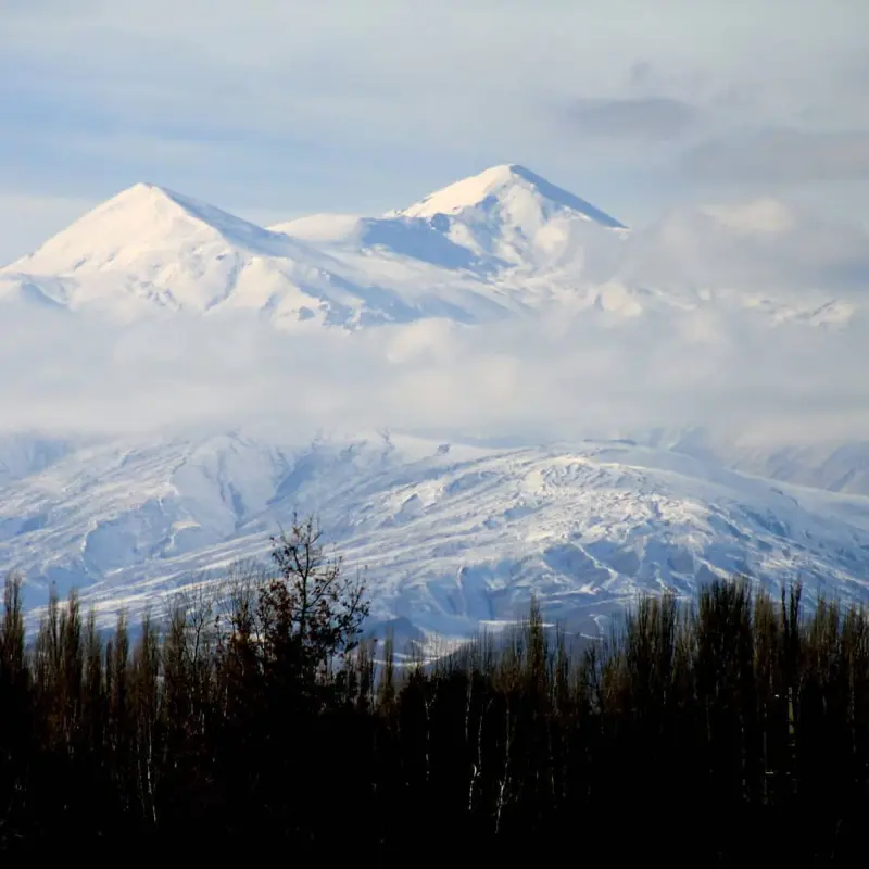
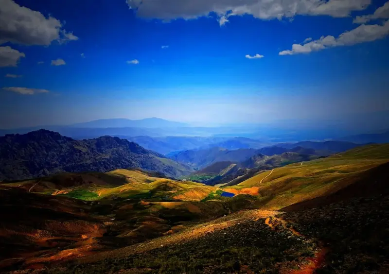
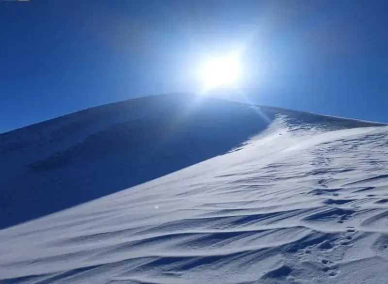
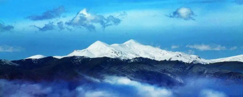
Mount Orin, at 3,702 metres, is the highest mountain in Khoy County (the "Roof of Khoy") and the highest peak in West Azerbaijan Province. It is also the 19th highest among the highest peaks of Iran's provinces. It lies 42 kilometres northwest of the city of Khoy, between the districts of Safaiyeh and Ghotur. The peak is regarded as the symbol of Khoy. After Mount Ararat in Turkey, Orin is the highest peak in the region, and it is 15 kilometres from the Turkish border.
In spring and summer, there is a chance of rain on the route to the summit in the afternoon, and there is no shelter along the climbing route where you can take cover from the rain. West Azerbaijan Province ranks third among the rainiest provinces in the country. Temperatures on Mount Orin are usually about 7 to 10 degrees cooler than in Khoy.
The climb to Orin Peak starts from the city of Khoy, the main starting point. From Khoy, head towards the village of Pasak. After passing through it, and before reaching the village of Badalan, take an uphill road that climbs to higher ground. After 17 kilometres you will reach a small village in Firuraq Rural District. The Orin Peak hut is located below the village of Hesar (3 kilometres lower down). If you want to climb Orin Peak in one day, you need to pass through the small village. If you plan to spend the night at the Orin hut, you should continue towards the village of Hesar. The elevation of Hesar is about 2,280 metres. Most climbers prefer to stay at the hut and enjoy the nature of the area.
Written by کیانا دهبندی Last updated
What you can do here, and what it takes
به دلیل نبود مسیر صخرهای، به نسبت صعود این قله راحتتر از قلههای هم ارتفاع خود میباشد.
Province West Azerbaijan
Province West Azerbaijan
Province West Azerbaijan
Province West Azerbaijan
Province West Azerbaijan
Province West Azerbaijan
Province West Azerbaijan


Unfortunately, no comments have been registered.