
 Desert (Kavir)
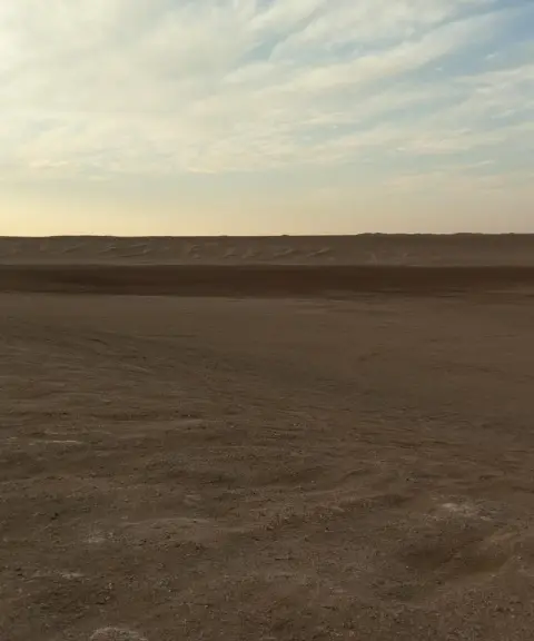
Tal Khakestari
A mysterious hill in the heart of Iran's central desert
- Desert (Kavir)
- Isfahan, خور
- Altitude 834 m
- Ability level Intermediate
Ability level:
Intermediate
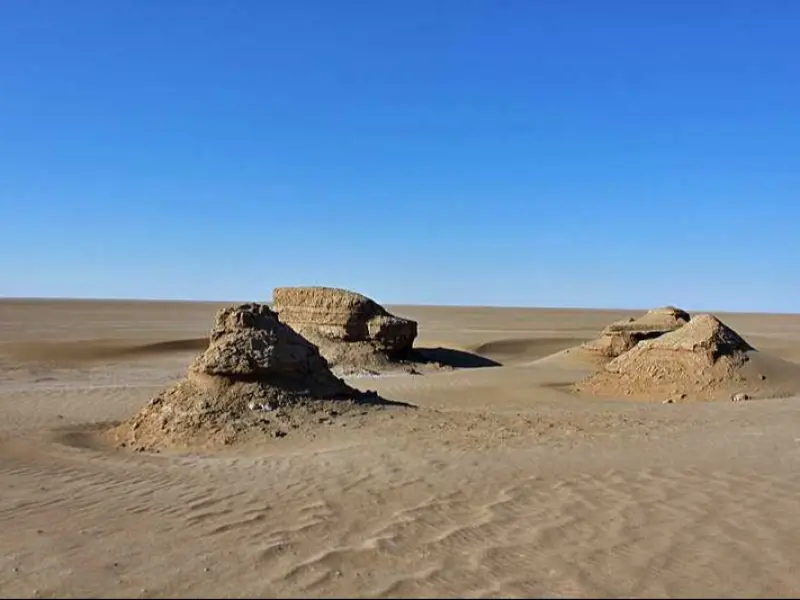
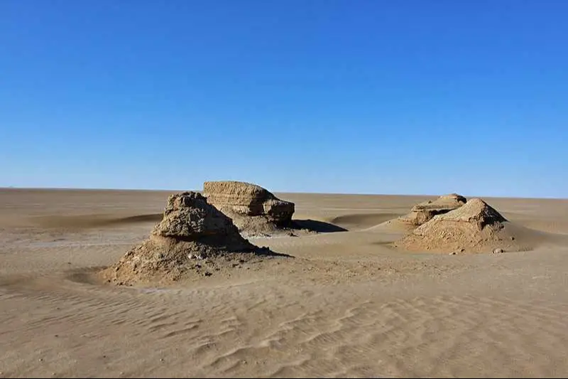
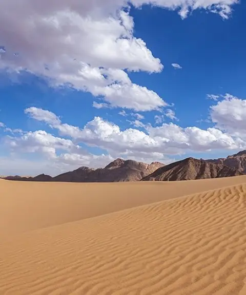
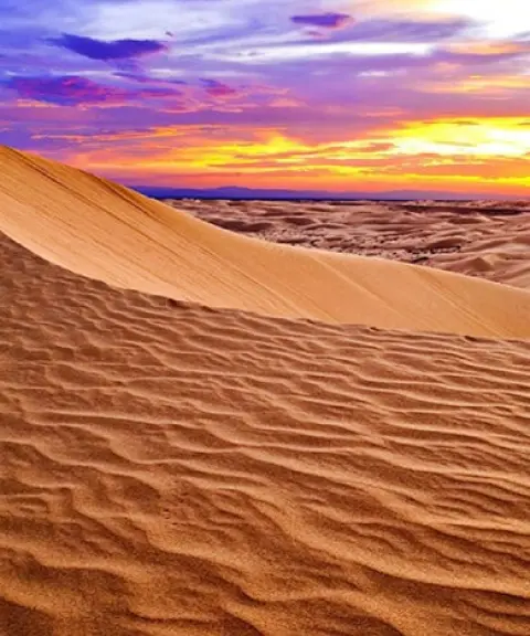
Tal Khakestari lies in Isfahan Province, on the western edge of Mesr village and 12 kilometres northwest of the villages of Mesr and Farahzad. Known as the highest mesa (takht) in the area, the hill sits on the boundary between the kavir (salt desert) and the sandy desert ecosystems. As a result, the view to the north takes in the flat, uniform plains of the central kavir, while the view to the west shows the long linear (seif, or "sword-shaped") dunes known as Gele Rig Sargardani. The hill's grey colour, which can be recognised from far away, gave it the name "Tal Khakestari" (Gray Hill).
Erosion has given the hill a stepped shape and created some fascinating landscapes. The vegetation of Tal Khakestari includes plants such as goat's beard (rish-e boz) and desert wormwood (artemisia). On top of the mesa, the Forests and Rangelands Organization has planted saxaul shrubs to control the area's surface winds. The hill is made up of calcareous soils and marl. To the west you can see the landscapes of Gele Rig Sargardani and Takht-e Bazu, to the east the Chil Kandeh plain, and in the distance the Takht-e Aroos area.
To reach Tal Khakestari, head three kilometres west from the west side of Farahzad village along the Chil Kandeh ridge, then change course and continue eight kilometres to the northwest until you arrive. Be sure to use a guide who knows the area, as well as navigation tools such as GPS. At night, the flickering lights of vehicles on the Damghan–Jandaq road can be seen from 50 to 80 kilometres away, creating the sight of a glowing, winding ribbon in the middle of the desert.
Written by زهرا لنگری Last updated
Activities
What you can do here, and what it takes
-
Walking
بازدیدکنندگان میتوانند در اطراف تل گشتوگذار کنند و از مناظر طبیعی لذت ببرند.
Specifications
Introduction of the location and specifications of Tal Khakestari
Location:
Isfahan, خور
Coordinates:
34.09979180, 54.78537014
Open in maps
Height above mean sea:
834 meter
Land Form:
Aeolian, Desert
Floras:
Deserts and Dry Shrublands
Faunas:
Presence of Predatory Animals, Presence of Allergenic Insects, Presence of Herbivorous Animals
Transports:
Private car
Tourist Attractions in Isfahan
Attractions that are nearby
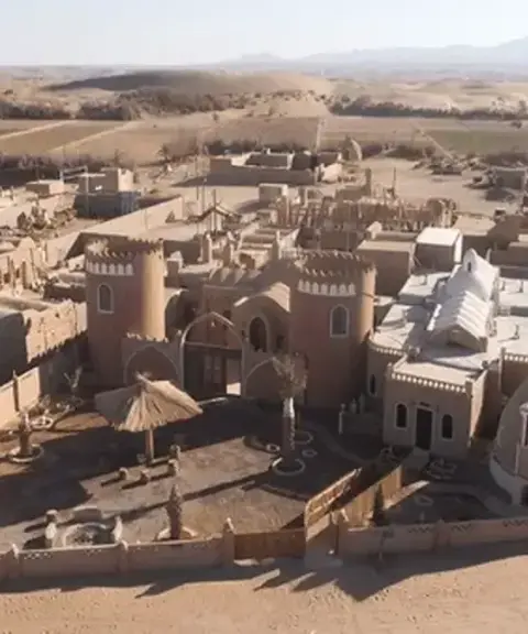

Iraj Village
Province Isfahan
- Walking
Unfortunately, no comments have been registered.