
 Attractions
- Ability level Beginner
Ability level:
Beginner
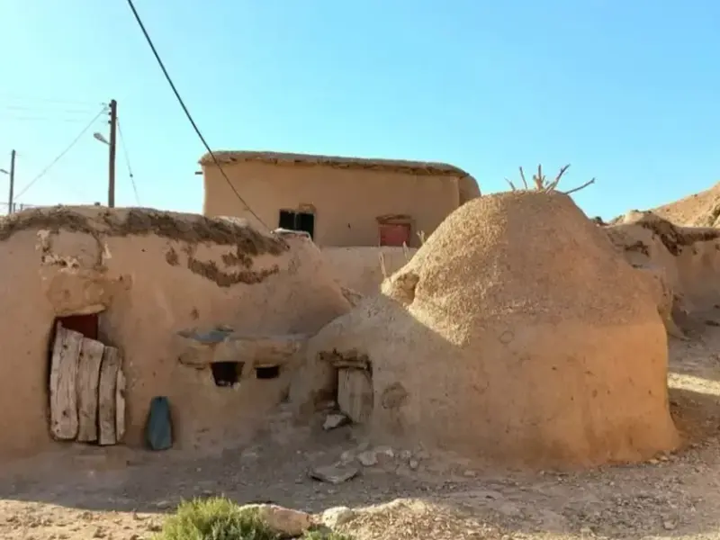
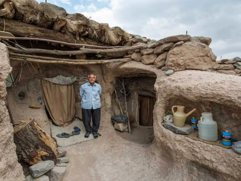
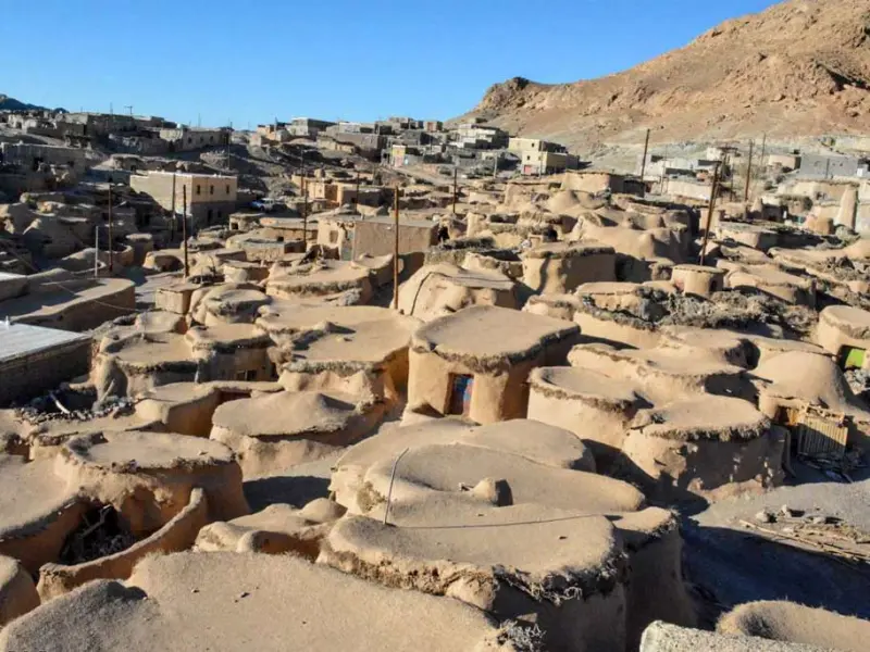
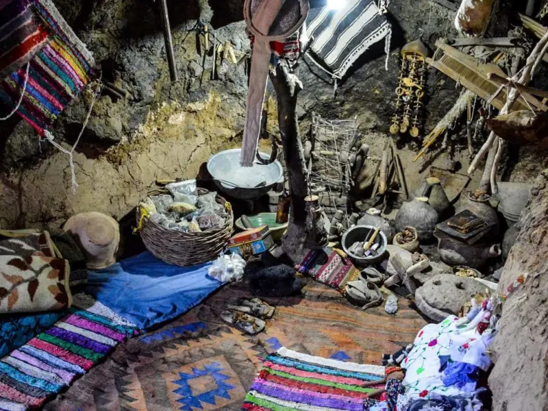
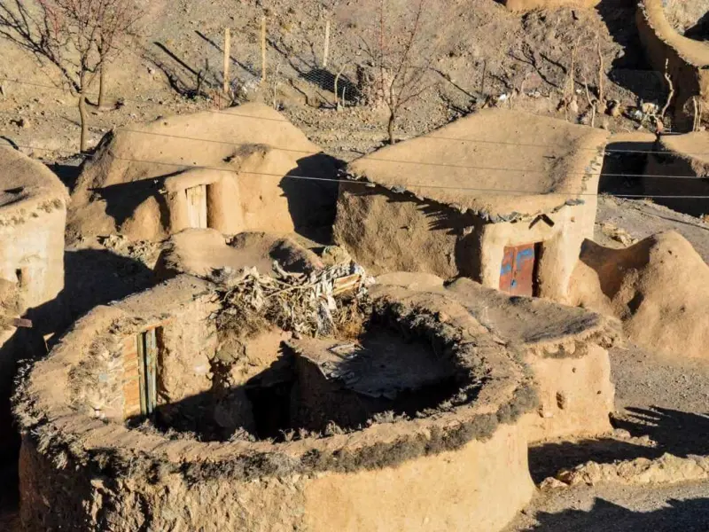
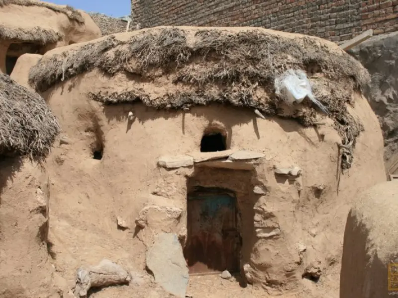
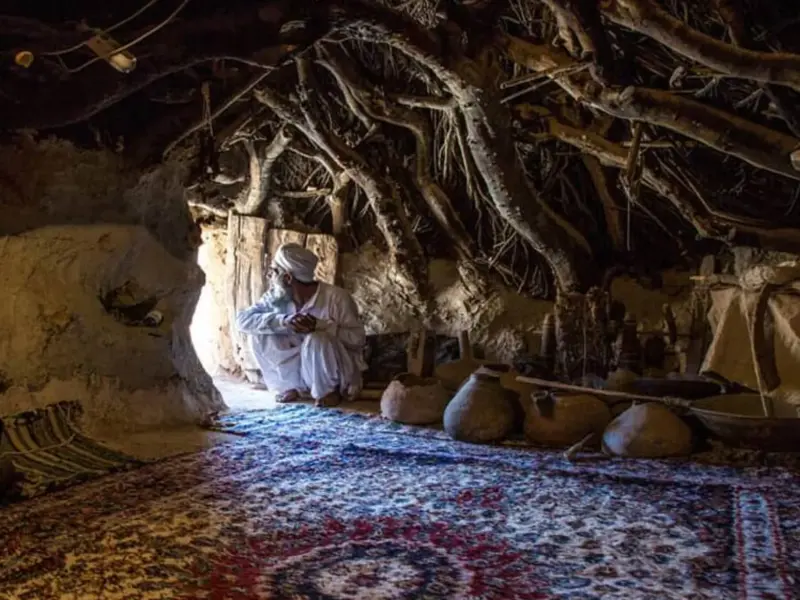
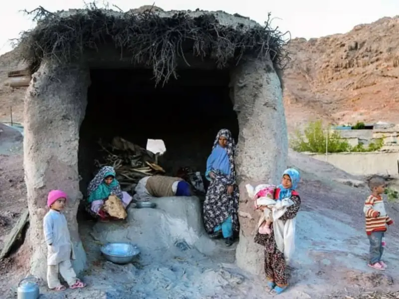
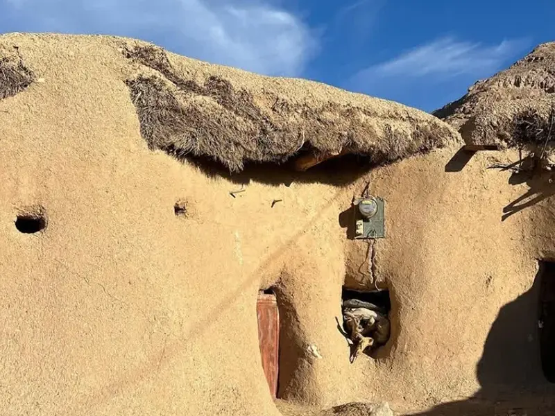
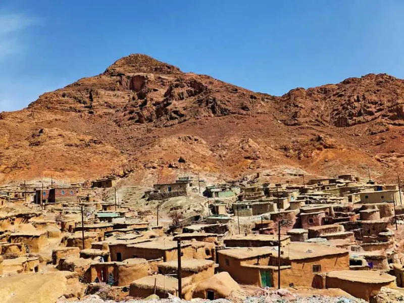
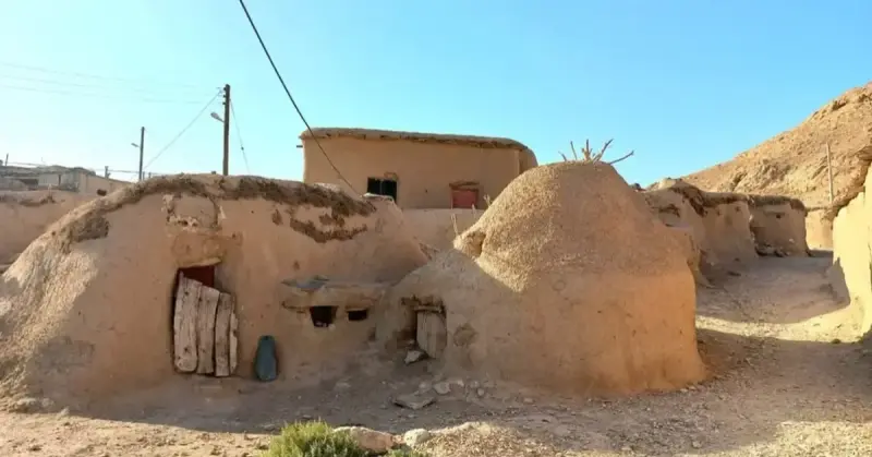
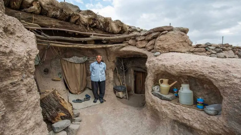
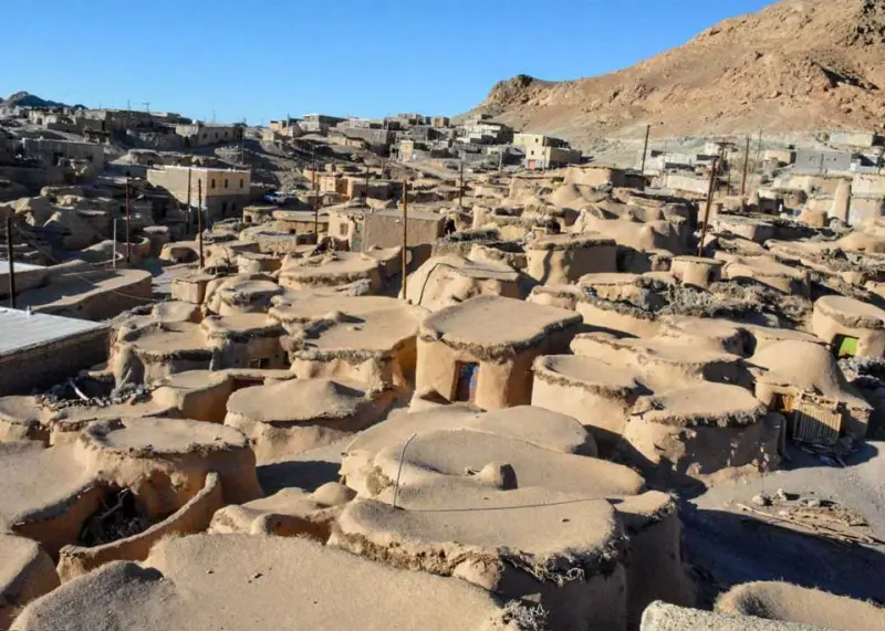
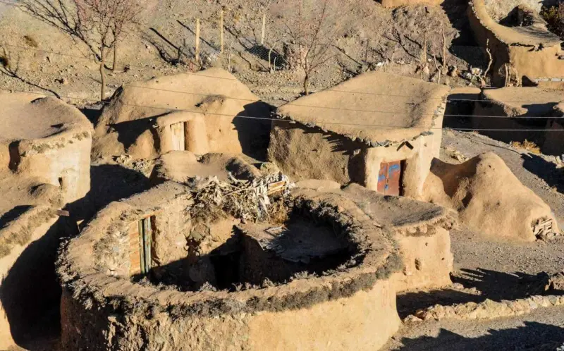
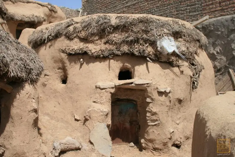
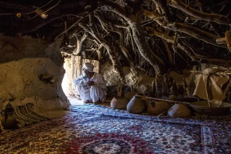
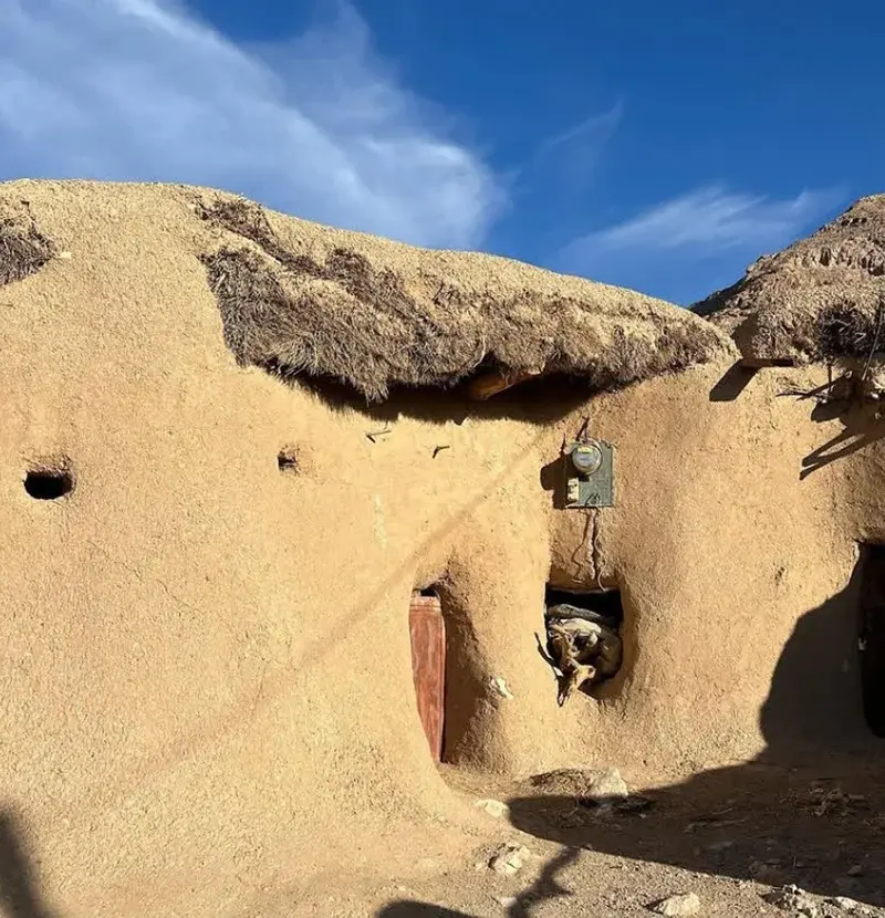
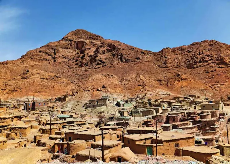
Makhunik Village is one of the most remarkable tourist attractions of South Khorasan and one of the most mysterious villages in Iran. Located in Sarbisheh County, in a mountainous border region, it has been counted among the seven wonder villages of the world for its unique architecture, its short-statured people and its distinctive culture. Mud-brick houses with low roofs and tiny doorways, narrow alleys and a traditional way of life make Makhunik look like a village that has stepped out of the pages of history.
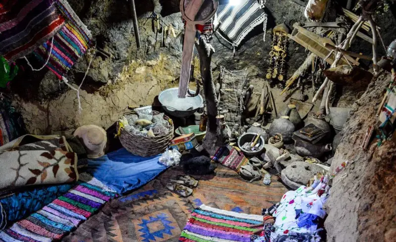
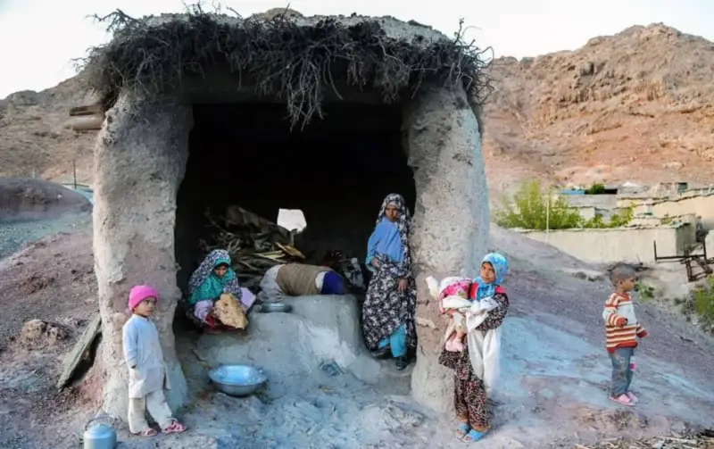
Makhunik has gained worldwide fame because of its special architecture and the way its people live. Its most striking feature is the short stature of some of its residents, which was long explained as a genetic phenomenon resulting from diet, isolation and the village's particular geographical conditions. For many years the villagers were strangers to the trappings of the modern world and followed a simple life of traditional farming and animal husbandry. Until only a few decades ago, television, cars, eating meat and even drinking tea were not customary in the village. Although daily life has changed somewhat today, many of the old customs are still preserved.
Among the sights of Makhunik are the historic tower and fortress, the Gol Anjir Tower, a petroglyph known as the "Black Stone" (Sang-e Siyah), the famous house of "Nader Morreh" and the Sargardoni house. Each of these structures tells part of the history and way of life of the villagers. With its dry climate and architecture adapted to its surroundings, Makhunik offers a living picture of life in the remote, rugged areas of eastern Iran, and it is a highly rewarding destination for those interested in history, anthropology and cultural travel. The village can be reached via the Sarbisheh–Dorooh road. The best time to visit is spring and summer, when the surrounding landscape is at its most beautiful. To protect the environment and respect the local culture, please do not leave litter or damage the historic structures, and stick to the designated paths when visiting.
Written by زهرا لنگری Last updated
Activities
What you can do here, and what it takes
-
Walking
مسیرهای کوهستانی اطراف روستا مناسب برای پیادهروی و گشتوگذار در طبیعت هستند.
Specifications
Introduction of the location and specifications of Makhunik Village
Location:
South Khorasan, Sarbisheh
Coordinates:
32.45708750, 60.40692509
Open in maps
Height above mean sea:
1601 meter
Floras:
Semi-desert, Rangeland-Steppe
Faunas:
Presence of Predatory Animals, Presence of Allergenic Insects, Presence of Herbivorous Animals
Transports:
Private car, Minibus, Bus
Tourist Attractions in South Khorasan
Attractions that are nearby

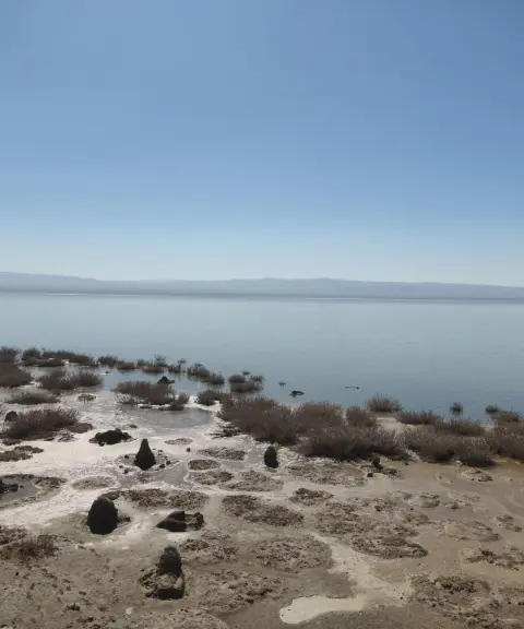

Kaji Namakzar Wetland
Province South Khorasan
- Walking
A Salt Marsh Wonder in the Desert of South Khorasan
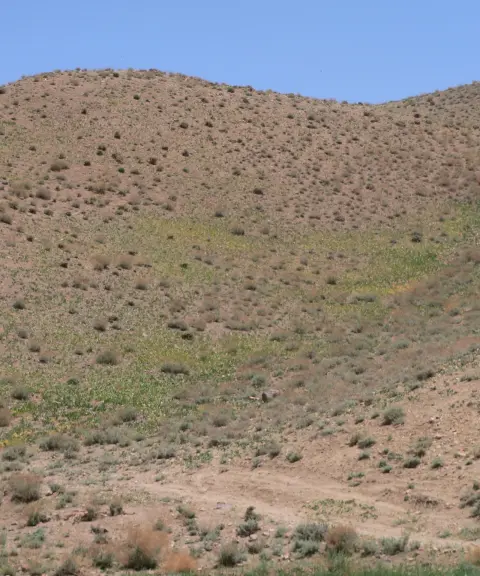

Darmian and Sarbisheh Protected Area
Province South Khorasan
- Walking
A pristine wildlife gem in eastern Iran
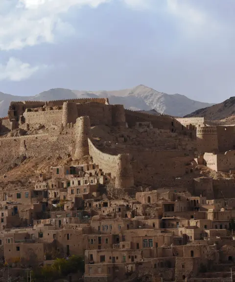

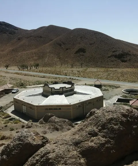

Ab-e Torsh Spring of Sarbisheh
Province South Khorasan
- Walking
A mountain natural attraction and hydrotherapy site in South Khorasan
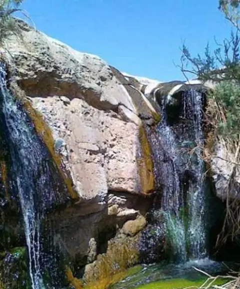
Gandeh Gav Waterfall
Province South Khorasan
- Walking
A Hidden Paradise in the Heart of the South Khorasan Desert
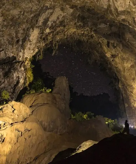

Chehel Dokhtaran Cave
Province South Khorasan
- Walking
- Caving
A mysterious corner of nature and history in South Khorasan
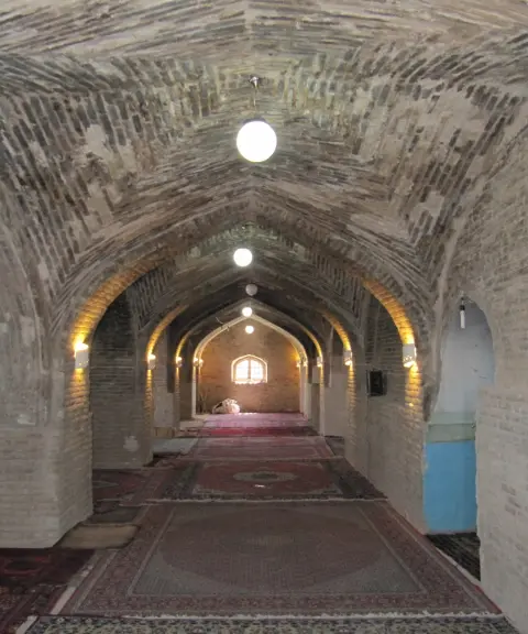
Hendovalan Jame Mosque
Province South Khorasan
- Walking
A Gem of Timurid Architecture in South Khorasan
Related tags:
Unfortunately, no comments have been registered.