
 Waterfalls
Nilroud Waterfall
A Hidden Gem in the Forests of Talesh
- Waterfalls
- Gilan, Hashtpar (Talesh)
- Altitude 792 m
- Ability level Intermediate
Ability level:
Intermediate
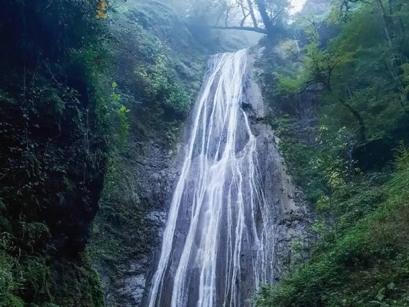
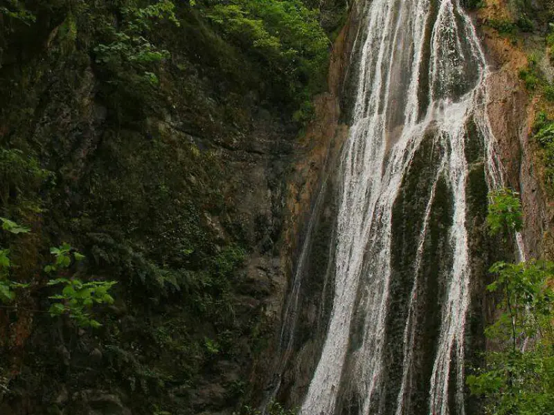
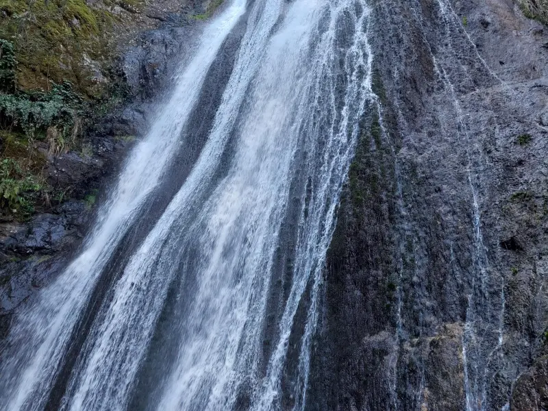
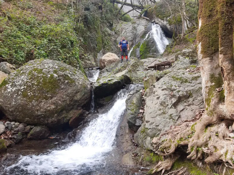
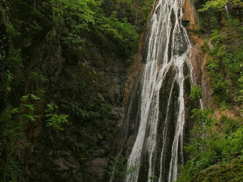
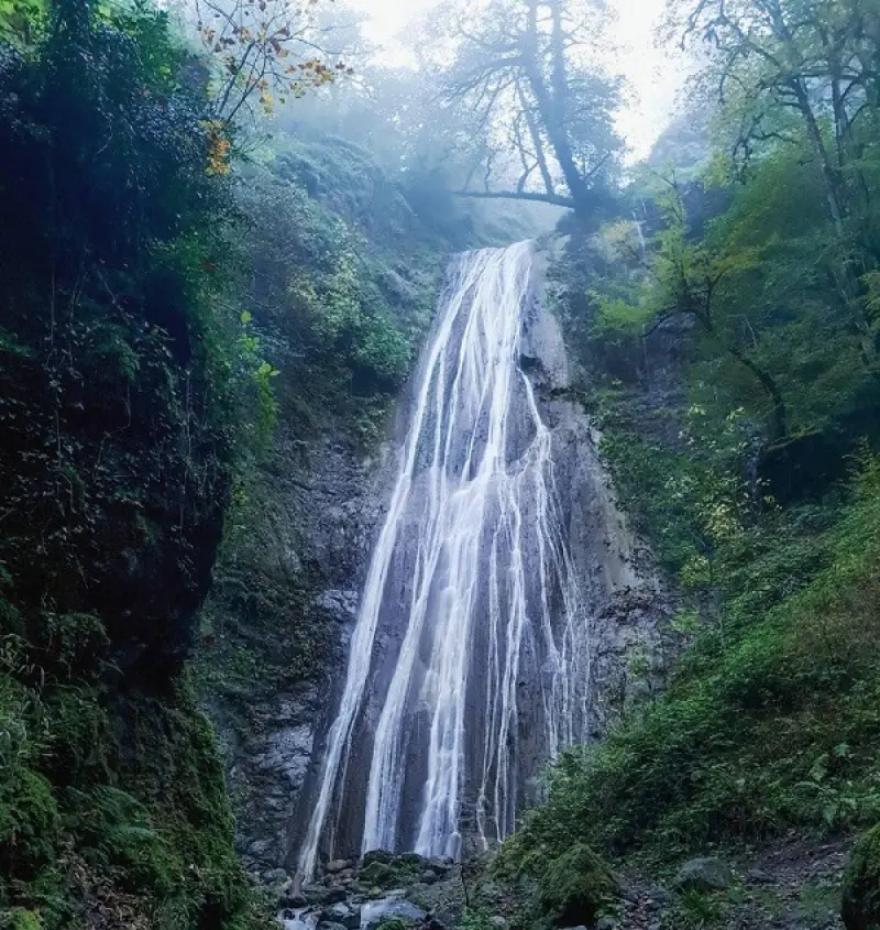
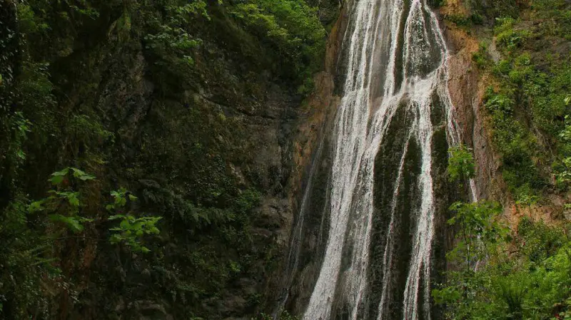
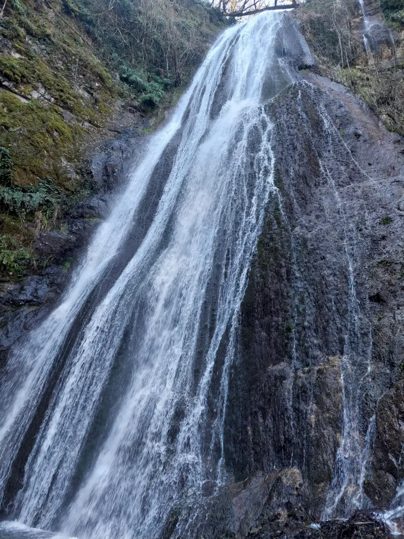
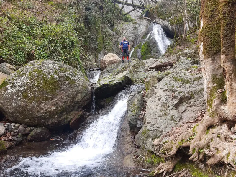
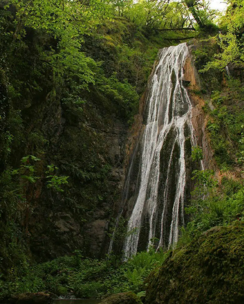
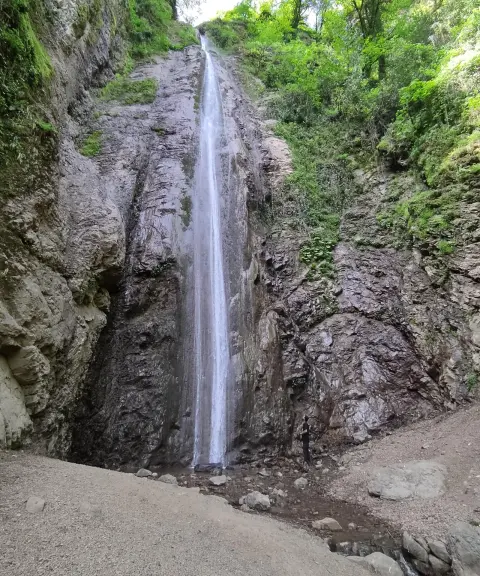
Nilroud Waterfall is located in the Jokandan area of Talesh County, Gilan Province, and is one of the pristine and lesser-known waterfalls of northern Iran. The waterfall is estimated to be between 30 and 40 meters high, and its water flows down from the Alborz mountains. The surrounding landscape is covered in dense forest with a humid climate, and because of its remoteness and the difficulty of the route, this destination is considered especially suited to experienced nature-trekking enthusiasts.
The waterfall is reached via the village of Pisara. In total, you will have about 6 kilometers of hiking with 600 meters of elevation gain. The distance from Jokandan to this village is about 5 kilometers, but at kilometer 4.5 you must park your car and cover the rest of the route on foot, because the dirt and rocky road beyond that point is not suitable for ordinary vehicles. From this point the hiking trail begins, and you can head for the waterfall by choosing one of two routes: the "forest" route or the "river" route. For half of the way you follow the river and cross it many times. After that, you will enter a forested area with a steeper slope. The round trip usually takes 7 to 8 hours, and because of the challenges of the route, it is recommended to make this trip only with a local guide or people familiar with the area.
To reach the waterfall, first go to the city of Talesh, then drive about 18 kilometers to Jokandan and continue from there to the village of Pisara. The last stretch is a dirt and rocky road, and at a certain point you must park your car and continue on foot. The best time to visit is spring (Farvardin to Khordad, i.e. late March to June) and autumn (Mehr to Aban, i.e. late September to November) on sunny, rain-free days, since the water flow is good and the ground is less slippery. It is recommended to use GPS and an offline map for accurate navigation on this route, and carrying hiking boots, a proper backpack and safety equipment is essential. Also, to protect the environment and preserve the pristine character of the area, collect all the waste you produce and take it back with you.
Written by زهرا لنگری Last updated
Activities
What you can do here, and what it takes
-
Walking
مسیرهای پاکوب کنار رودخانه و جنگل اطراف روستا مناسب برای پیادهروی تفریحی و گشتوگذار است.
Specifications
Introduction of the location and specifications of Nilroud Waterfall
Location:
Gilan, Hashtpar (Talesh)
Coordinates:
37.92536186, 48.81435945
Open in maps
Height above mean sea:
792 meter
Floras:
Temperate Broadleaf and Mixed Forests
Faunas:
Presence of Predatory Animals, Presence of Herbivorous Animals
Transports:
Private car
Tourist Attractions in Gilan
Attractions that are nearby

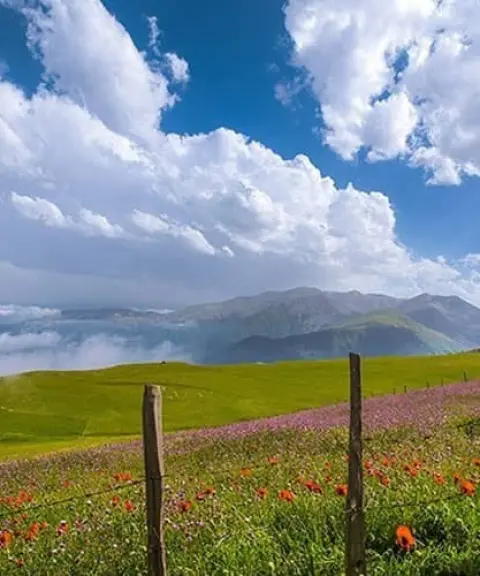

Shekar Dasht
Province Gilan
- Walking
- Mountaineering
- Fishing
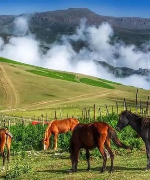
The Bride of the Talesh Highland Pastures
Subatan Village
Province Gilan
- Walking
- Cycling
- Horse Riding
- Fishing
- Rowing
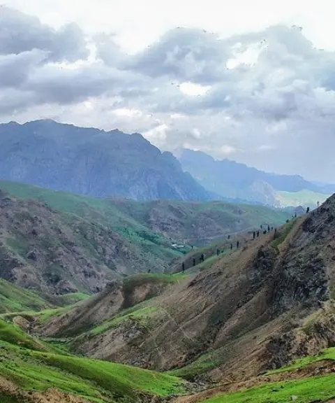
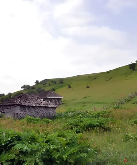
The Sea of Clouds of Gilan

Bonun Village
Province Gilan
- Walking
A mountain village in the heart of the Hyrcanian forests of Talesh


Related tags:
Unfortunately, no comments have been registered.