
 Mountain
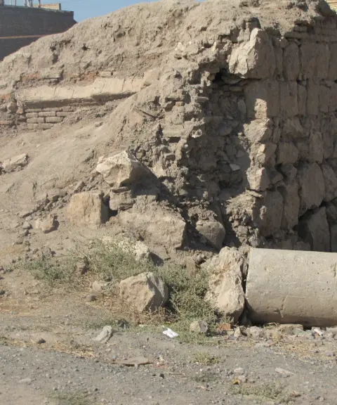

Fanaei Church
Province West Azerbaijan
- Walking
A climb to the heights of the northwestern Zagros
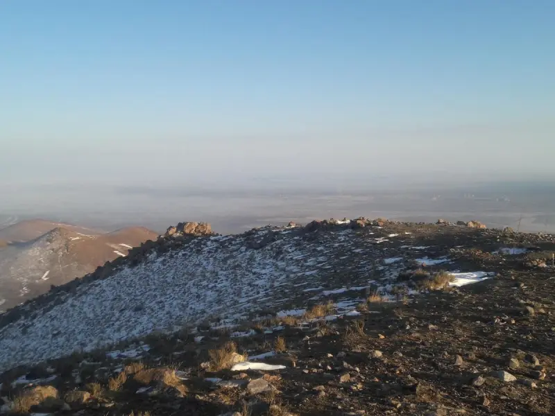
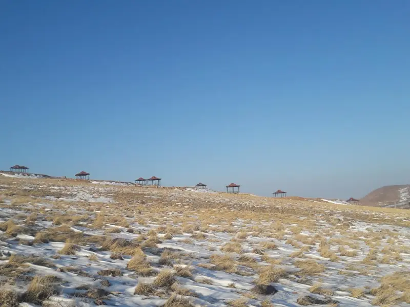
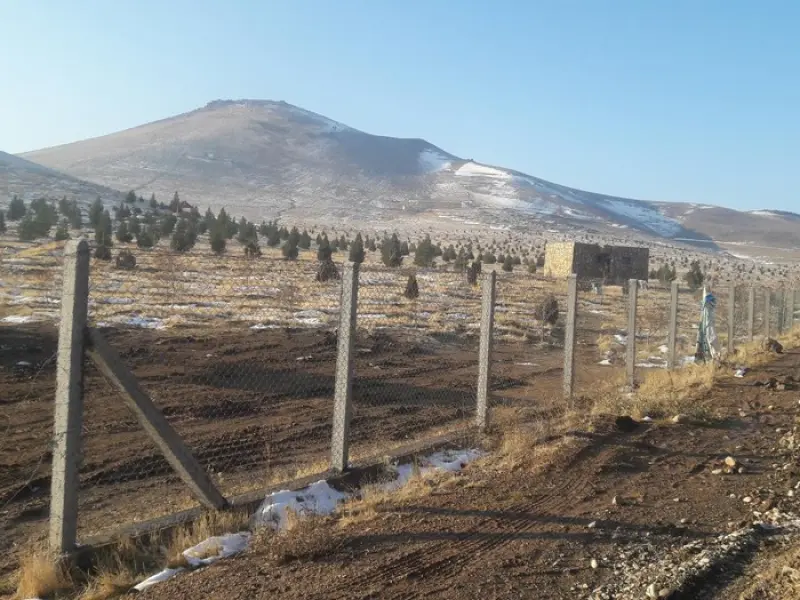
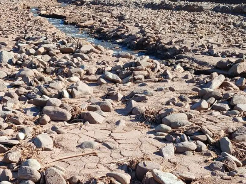
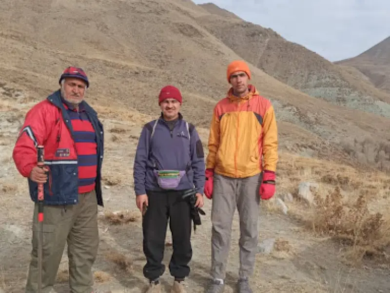
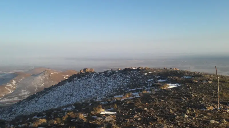
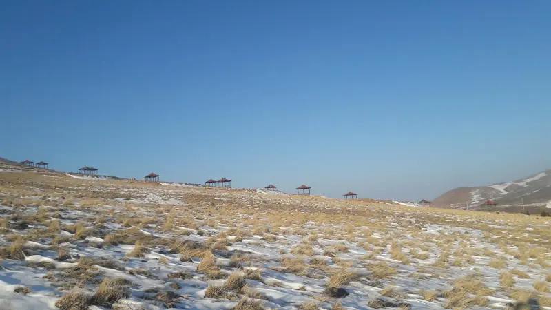
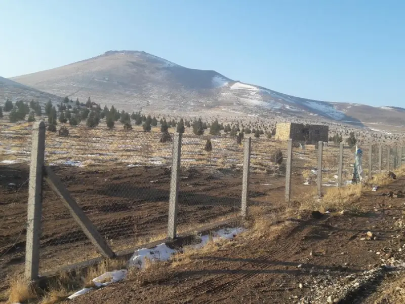
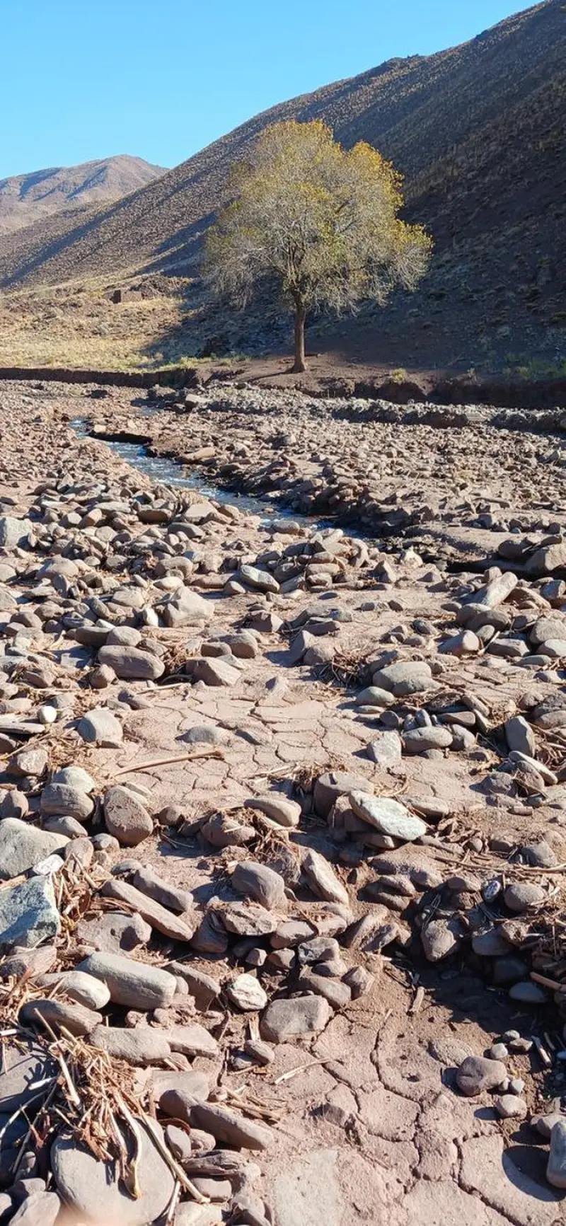
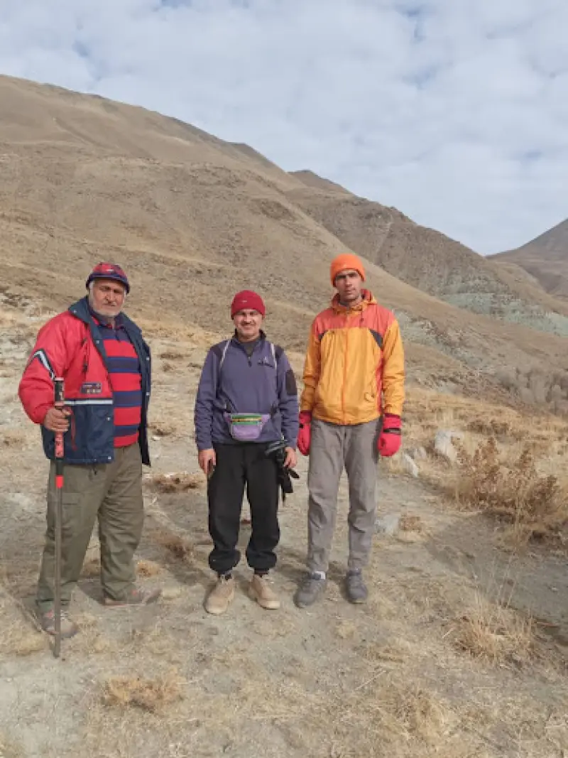
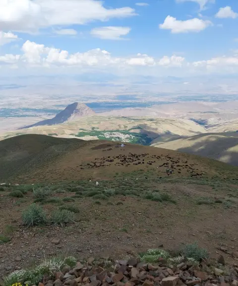
Qazan Dagh Peak (Qāzān Dāghī) is one of the most prominent heights in East Azerbaijan Province. It lies in the Mishu mountain range, within Shabestar County, near the village of Chehregan. At an elevation of about 2,570 meters, the peak hosts climbers from several provinces every year who come for the challenge of the ascent, the experience of nature and the wide views over the region.
To climb the beautiful Qazan Dagh from the direction of Khoy, first head to the new town of Dizaj Diz. From there, a road about 9 kilometers long leads toward the mountain, which is the main access route to the summit and the surrounding natural area. The area's pristine natural attractions, including delightful hiking trails, wide landscapes and a pleasant climate, have made it a special destination for nature lovers.
The best time to climb is from late spring to early autumn, because the route is hot in summer and covered with snow in winter, when there is a risk of slipping. It is very important to follow the principles of responsible nature tourism: stay on the marked trail, carry a bag to take your trash out, and respect the environment and the drought-adapted vegetation. From the summit you can also see views of Lake Urmia, Mount Ali Alamdar and the heights of Eslami Island.
Written by زهرا لنگری Last updated
What you can do here, and what it takes
کفش پیادهروی به همراه داشته باشید.
بدون تجهیزات لازم کوهنوردی نمیتوانید به این کوه بروید.
Province West Azerbaijan
Province West Azerbaijan
Province West Azerbaijan
Province West Azerbaijan
Province West Azerbaijan


Unfortunately, no comments have been registered.