
 Seas and Lakes
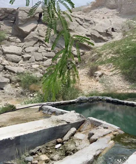
Mianlu Hot Spring
Province Bushehr
- Walking
- Swimming
A Blue Treasure at the Heart of Iran's History and Civilization
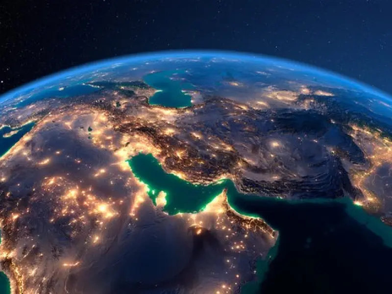
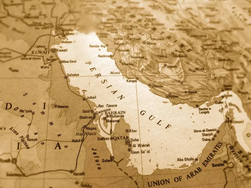
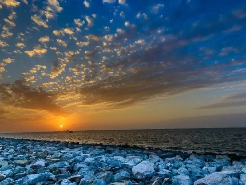
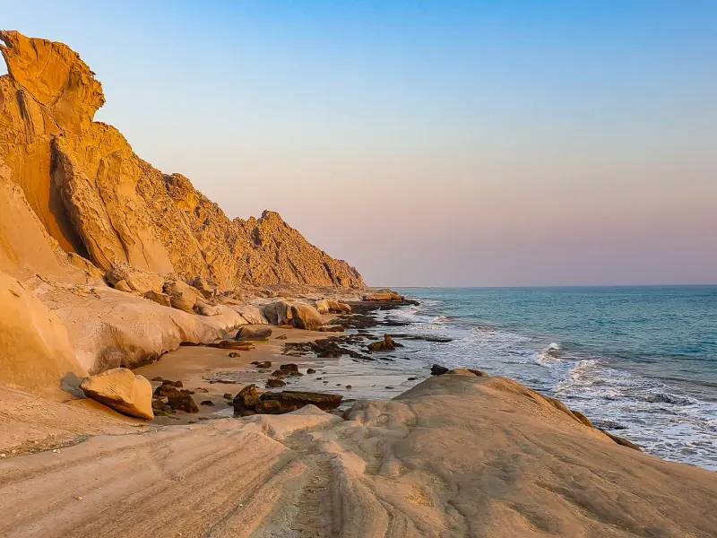
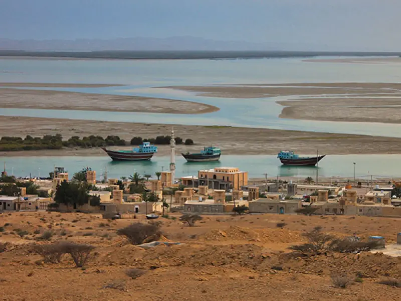
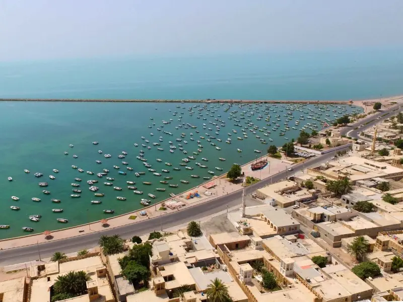
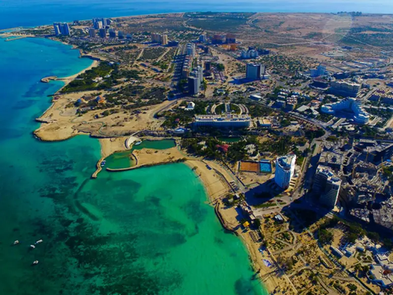
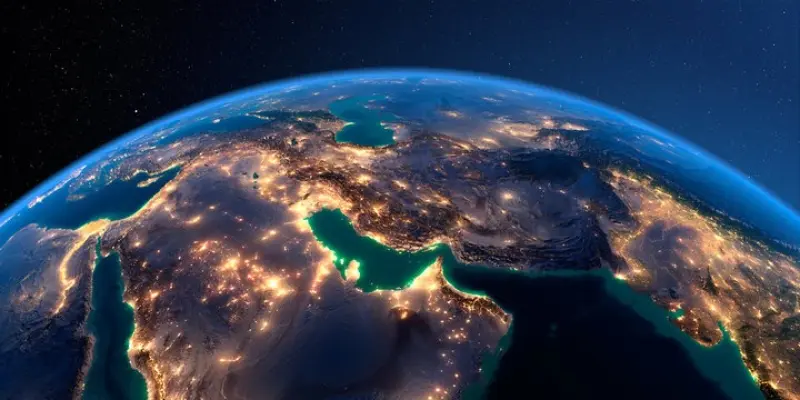
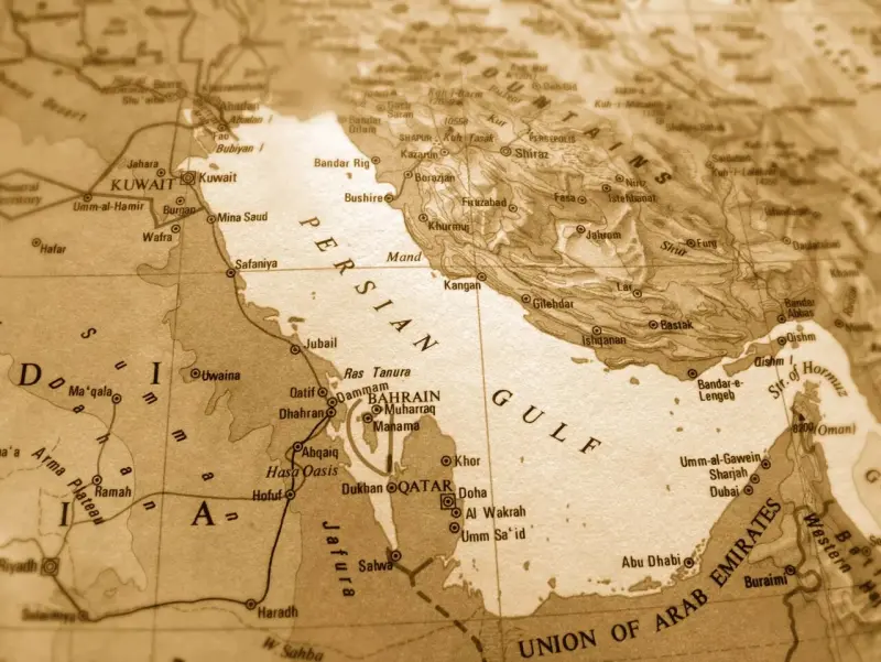
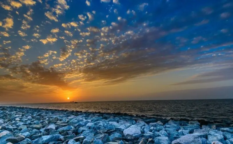
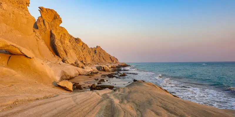
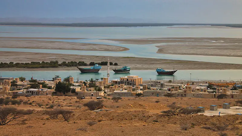
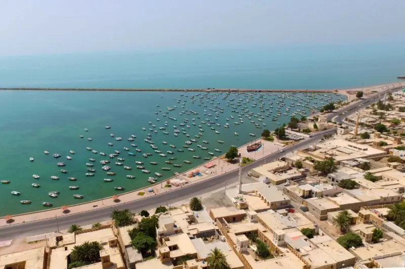
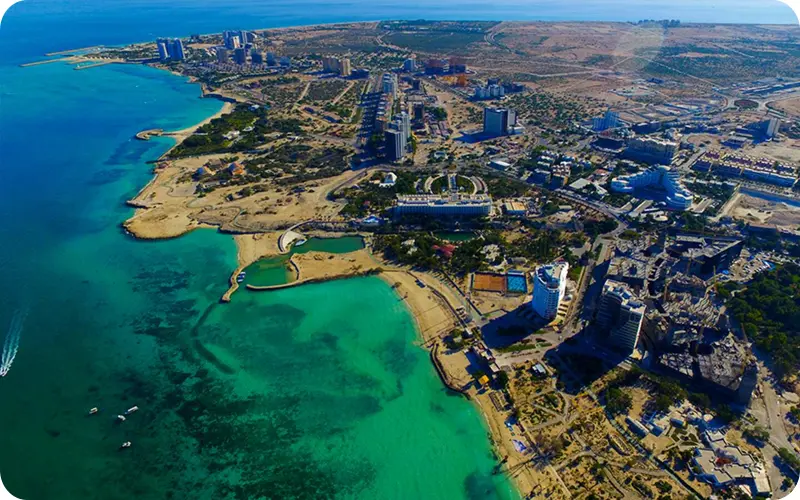
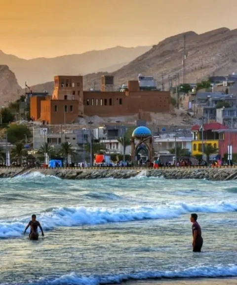
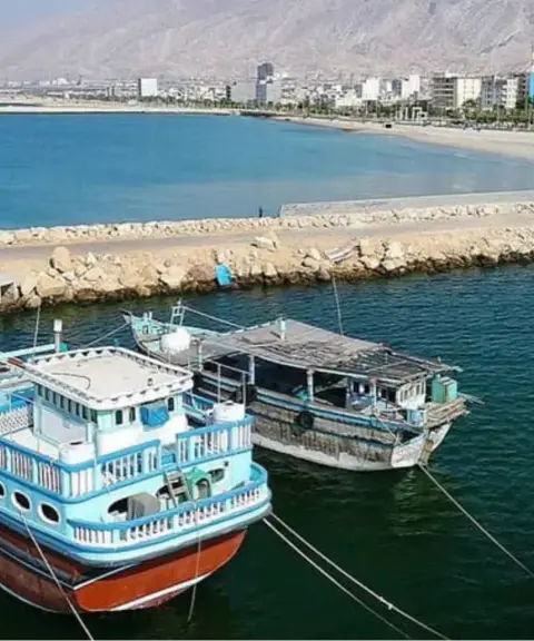
Shakhab Pars, the term correctly used in Persian texts in place of “Khalij-e Fars” or Persian Gulf , is a body of water south of the Iranian Plateau. It has long been regarded as one of the most strategically, culturally and environmentally important regions in the world. This semi-enclosed gulf is nearly 1,000 kilometers long and between 55 and 350 kilometers wide, extending from the Strait of Hormuz in the east to the mouth of the Arvand River in the west. Shakhab Pars forms the natural border between Iran and the Arabian Peninsula, and its entire northern coast lies within Iran's territory. Many islands, including Qeshm, Kish, Hormuz, Larak, Abu Musa, and Greater and Lesser Tunb, are located in these waters as part of Iran's national identity, and each has its own distinctive natural and historical features.
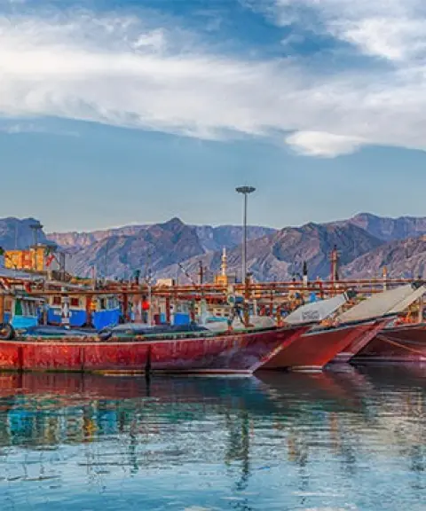
With a history of several thousand years, the gulf has always been a meeting point of ancient civilizations, a route for maritime trade, and a setting for cultural exchange between East and West. In the Achaemenid, Sasanian and Safavid eras, and even in the modern period, Shakhab Pars has played a key role in the economy and politics of the region. The name “Persian Gulf”, rooted in ancient Greek, Islamic and Iranian sources, bears witness to the long history of this designation and its deep bond with the civilization of Iranian lands. Historic ports, castles, water reservoirs (ab-anbars) and valuable architectural works along its coasts and on its islands have turned Shakhab Pars into a living museum of Iran's maritime civilization.
From a natural perspective, Shakhab Pars is considered one of the richest marine ecosystems in the world. More than 700 species of fish, sea turtles, colorful corals, migratory birds and dolphins live in the warm, salty waters of this region. Sandy, rocky and coral shores, together with a subtropical climate, offer excellent opportunities for activities such as diving, nature tourism, birdwatching and photography of unspoiled landscapes. The vast oil and gas reserves beneath the gulf's seabed have also made it one of the richest energy regions in the world. Despite challenges such as oil pollution and industrial exploitation, Shakhab Pars remains a symbol of natural splendor and of Iran's geopolitical standing.
Written by زهرا لنگری Last updated
What you can do here, and what it takes
کفش پیادهروی به همراه داشته باشید..
در این مکان امکان ماهیگیری وجود دارد.
در این مکان میتوانید قایقسواری کنید.
در برخی سواحل امکان شنا وجود دارد.
در سواحل این خلیج امکان دوچرخهسواری وجود دارد.
Province Bushehr
Province Bushehr
Province Bushehr


Unfortunately, no comments have been registered.