
 Mountain
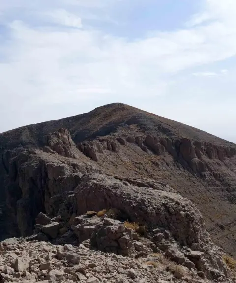
Kabirkuh
The largest and most important mountain range in Ilam Province
- Mountain
- Ilam, Ilam
- Altitude 2,820 m
- Ability level Advanced
Ability level:
Advanced
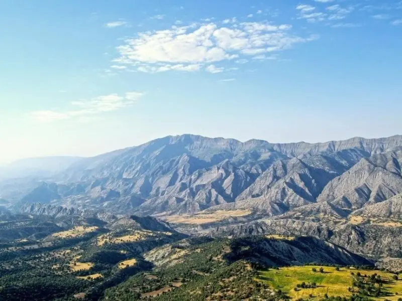
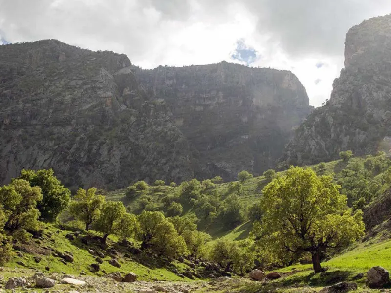
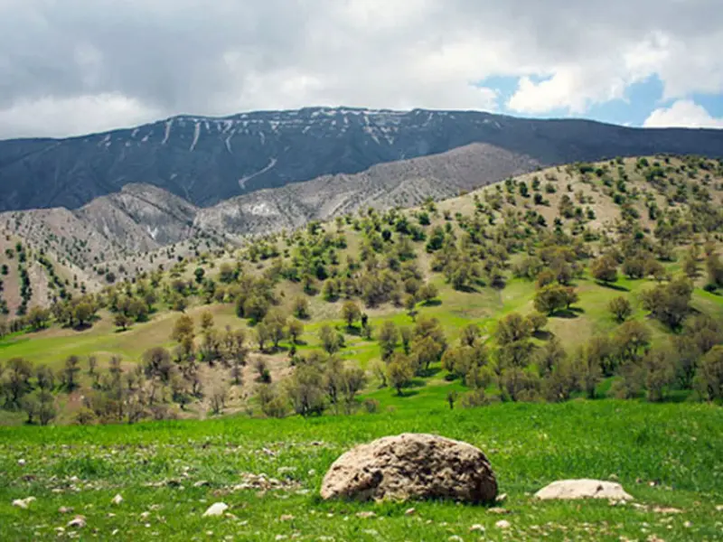
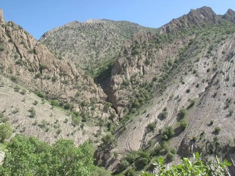
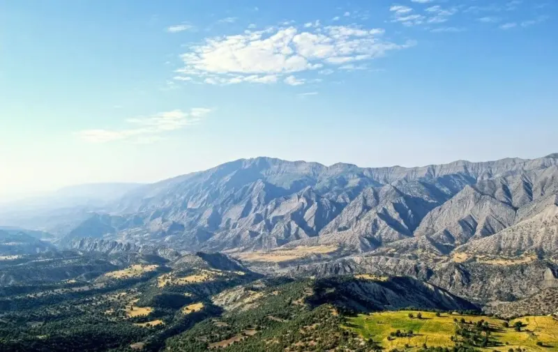
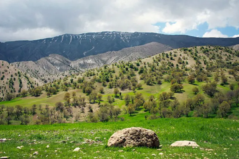
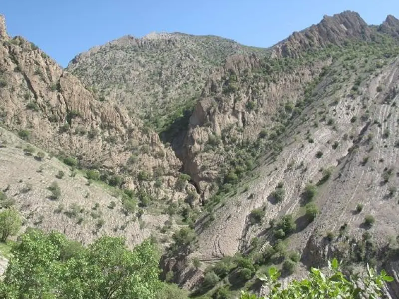
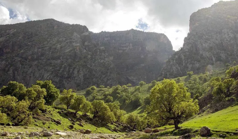
Kabirkuh is one of the long, important mountains of the Zagros range in Ilam Province, and it is also mentioned as Azimkuh in old sources. With a length of 175 kilometres and a width of 45 to 80 kilometres, it is made up mostly of sedimentary rock and was formed in the Cretaceous period. Like many mountains in western Iran, Kabirkuh stretches from the northwest to the southeast and includes a number of well-known mountains such as Dinarkuh, Siahkuh, Samand, Anaran, Sarmidan and Kamar-e Sefid. The highest peak of this range, Kan-e Seyfi, lies in Badreh County at an elevation of about 3,065 metres above sea level.
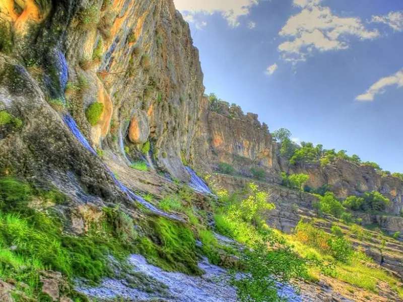
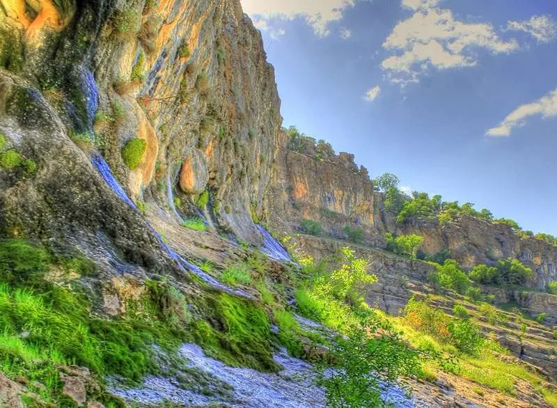
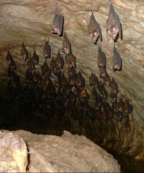
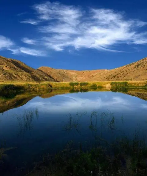
Besides its geographical features, Kabirkuh is also known for its distinctive geological phenomena. Among the natural attractions of the area are the twin lake of Siah Gav in the foothills of the mountain, the Marbareh and Haft Asiab waterfalls, valleys with high walls, and the Bahram Chubin Gorge and Mazhin Gorge. The ancient caves of Kalmakareh and Kuigan around Kabirkuh are also considered important historical and natural heritage. In addition to its natural beauty, the region has valuable archaeological sites. Notable among them are the 1,400-year-old city of Madaktu, the stone bridges of Cham Nameshat, the Gavmishan Bridge in Darreh Shahr, which dates to the Sasanian era, and the Kalhor Bridge, which belongs to the 4th century AH. These attractions give Kabirkuh a historical and cultural dimension as well. From the historical structures around Kabirkuh we can tell that the history of settlement and life in the foothills of this beautiful region goes back to the Sasanian period in Iran.
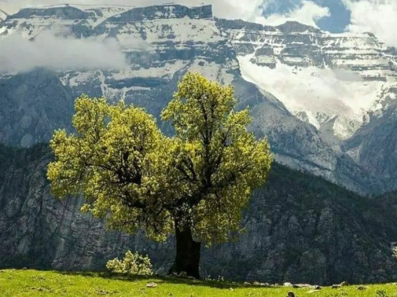
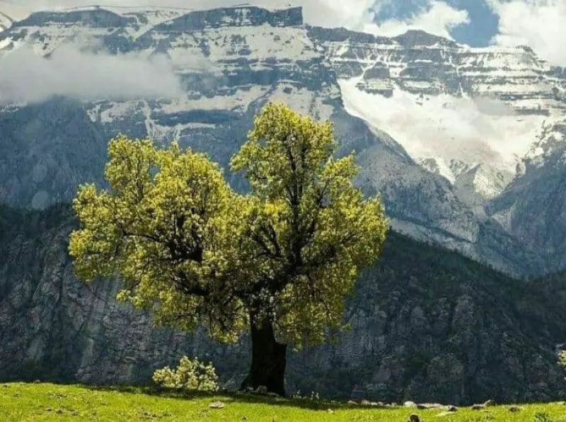
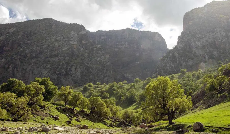
The Seymareh River, which rises in Kabirkuh and flows along the forests around the mountain, has created numerous waterfalls, pastures and lush settlements. One of Kabirkuh's special features is the diversity of plant and animal life in the Kabirkuh Protected Area. In mid-2001 (1380 SH), the Kabirkuh Protected Area was placed under the protection of the Ilam Provincial Department of Environment. The variation in elevation in the foothills of this range has created diverse ecosystems that support many kinds of animals and plants. Stepping into this region, you can see animal and plant species that are found in very few other places in Iran. It is worth noting that the farther we move from the slopes of Kabirkuh, the richer and more pristine the vegetation becomes. This is why many tourists travel by boat or on long treks through forest trails, pastures and rivers toward the gorges and waterfalls found deep inside Kabirkuh.
Written by زهرا لنگری Last updated
Activities
What you can do here, and what it takes
-
Walking
کفش پیادهروی به همراه داشته باشید..
-
Mountaineering
تجهیزات لازم کوهنوردی را به همراه داشته باشید.
Specifications
Introduction of the location and specifications of Kabirkuh
Location:
Ilam, Ilam
Coordinates:
33.39332200, 46.78104700
Open in maps
Height above mean sea:
2820 meter
Land Form:
Mountainous, Mountain
Floras:
Temperate Broadleaf and Mixed Forests, Temperate Grasslands
Faunas:
Presence of Predatory Animals, Presence of Allergenic Insects, Presence of Herbivorous Animals
Transports:
Private car, Walking, Only with technical climbing equipment
Tourist Attractions in Ilam
Attractions that are nearby
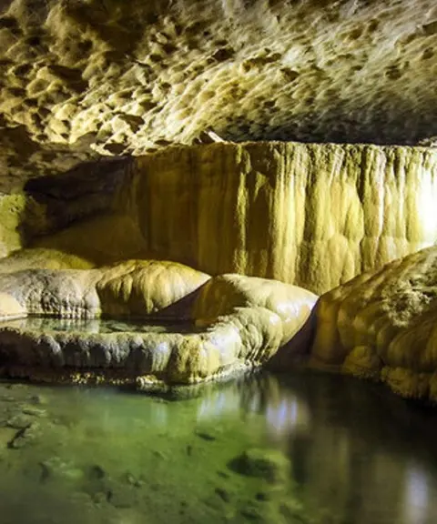

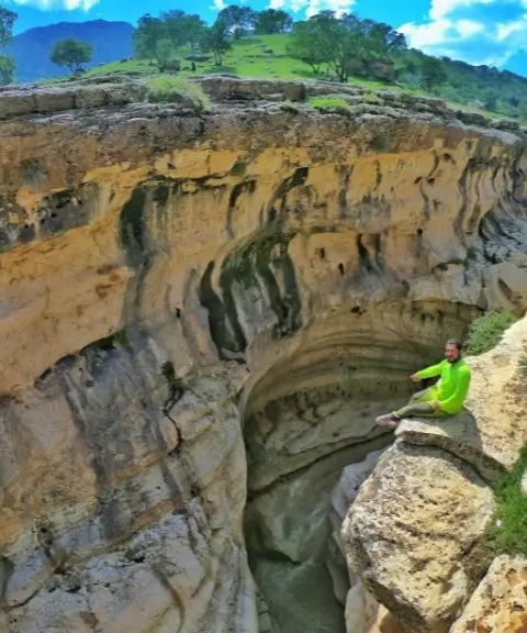

Tang-e Razianeh, Ilam
Province Ilam
- Walking
- Swimming
- Mountaineering
A stunning natural crevice in the heart of the Ilam mountains
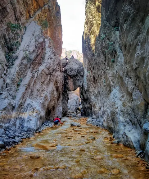
Palamar Gorge
Province Ilam
- Walking
- Canyoning
An amazing passage through the cliffs of Kabirkuh in Ilam


Related tags:
Unfortunately, no comments have been registered.